Hadhurst Copse
Wood, Forest in Sussex Horsham
England
Hadhurst Copse
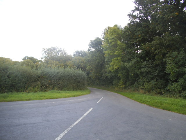
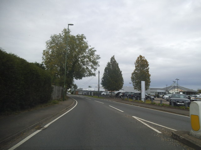
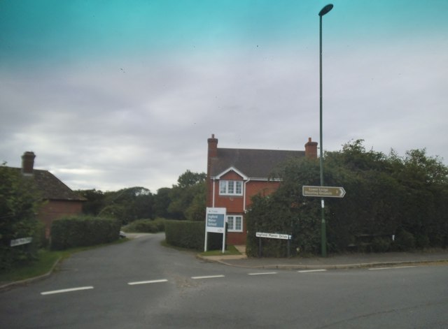
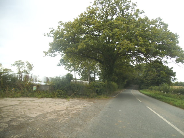
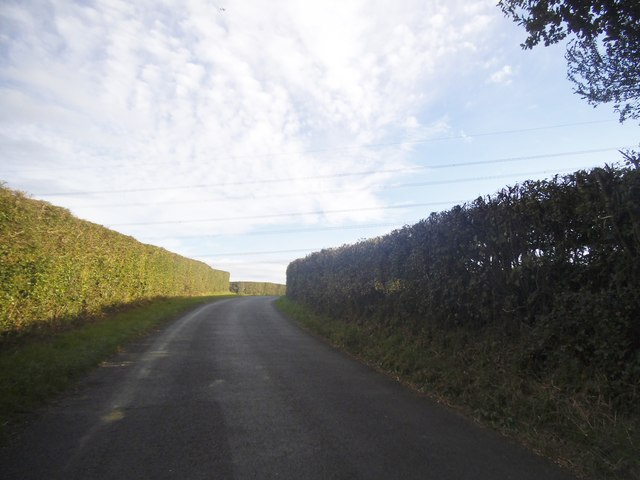
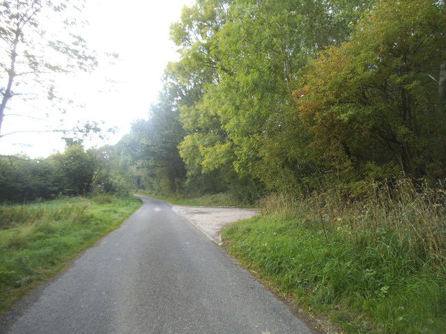
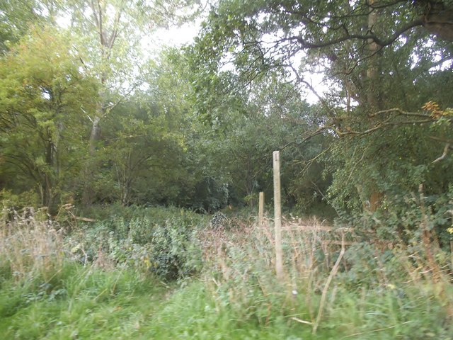
Hadhurst Copse, located in Sussex, England, is a picturesque woodland area renowned for its natural beauty and rich biodiversity. Spanning over several acres, the copse is characterized by dense vegetation and a diverse collection of trees, making it an ideal habitat for numerous plant and animal species.
The woodland primarily consists of native tree species, such as oak, beech, and ash, which dominate the landscape and create a lush canopy overhead. These trees provide shelter and sustenance for a variety of wildlife, including birds, insects, and mammals.
Walking through Hadhurst Copse, one can witness a vibrant array of flora and fauna. Bluebells and wildflowers carpet the forest floor in the spring, while ferns and mosses cover the tree trunks, adding to the copse's enchanting atmosphere. The woodland is also home to a range of bird species, including woodpeckers, owls, and warblers, which can be observed fluttering among the branches.
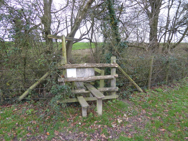
Hadhurst Copse offers visitors a tranquil escape from the bustling city life, as it is a designated nature reserve that promotes conservation and sustainability. The copse is crisscrossed by a network of well-maintained footpaths, allowing visitors to explore its beauty while preserving the delicate ecosystem. Additionally, the copse provides opportunities for educational activities, such as guided nature walks and wildlife spotting, making it a popular destination for nature enthusiasts and school groups alike.
Overall, Hadhurst Copse is a captivating woodland in Sussex, offering a haven for wildlife and a serene retreat for those seeking solace in nature's embrace.
If you have any feedback on the listing, please let us know in the comments section below.
Hadhurst Copse Images
Images are sourced within 2km of 51.048339/-0.45486055 or Grid Reference TQ0828. Thanks to Geograph Open Source API. All images are credited.


Hadhurst Copse is located at Grid Ref: TQ0828 (Lat: 51.048339, Lng: -0.45486055)
Administrative County: West Sussex
District: Horsham
Police Authority: Sussex
What 3 Words
///suspend.streaking.painter. Near Billingshurst, West Sussex
Nearby Locations
Related Wikis

The Haven, West Sussex
The Haven is a rural hamlet in West Sussex, south east England located about 7 miles to the west of Horsham.The Haven is primarily an agricultural area...

Coppedhall Hanger
Coppedhall Hanger is a 0.6-hectare (1.5-acre) geological Site of Special Scientific Interest north of Billingshurst in West Sussex. It is a Geological...

Five Oaks
Five Oaks is a large hamlet in the Horsham District of West Sussex, England. It lies about 1.7 miles (2.8 km) north of Billingshurst on the Roman road...

Billingshurst F.C.
Billingshurst Football Club is a football club based in Billingshurst, West Sussex, England. They are currently members of the Southern Combination Division...

Billingshurst
Billingshurst is a village and civil parish in the Horsham District of West Sussex, England. The village lies on the A29 road (the Roman Stane Street)...

Billingshurst Unitarian Chapel
Billingshurst Unitarian Chapel is a place of worship in Billingshurst in the English county of West Sussex. The cottage-like building was erected in 1754...
The Weald School
The Weald School is a coeducational secondary school and sixth form. It caters for around 1,700 pupils in years 7 to 13, including over 300 in its sixth...

Slinfold railway station
Slinfold railway station was on the Cranleigh Line and served the village of Slinfold in West Sussex. == History == The line had a single track and opened...
Nearby Amenities
Located within 500m of 51.048339,-0.45486055Have you been to Hadhurst Copse?
Leave your review of Hadhurst Copse below (or comments, questions and feedback).