Chephurst Copse

Wood, Forest in Sussex Horsham

England

Chephurst Copse

Downs Link, near Slinfold A view of the Downs Link path as it approaches Slinfold in West Sussex.  The path follows a dismantled railway line.  It also forms part of route 223 of the National Cycle Network.

Here, a public footpath crosses the Downs Link path.
Downs Link, near Slinfold Credit: Malc McDonald

Chephurst Copse is a picturesque woodland located in the county of Sussex, England. Situated on the outskirts of a small village, it covers an area of approximately 50 acres, making it a popular destination for nature enthusiasts and outdoor enthusiasts alike.

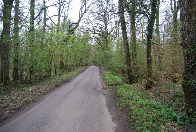
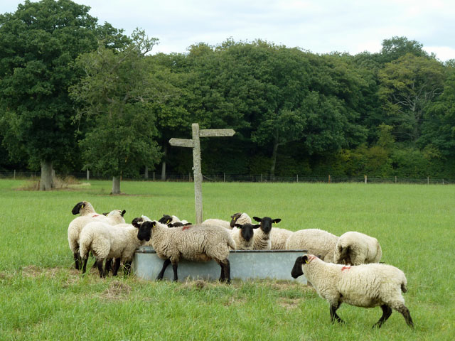
The copse is predominantly made up of native broadleaf trees, such as oak, ash, and beech, creating a diverse and vibrant ecosystem. The dense canopy of the trees provides a haven for a variety of woodland creatures, including birds, squirrels, and deer, making it an ideal spot for wildlife observation and photography.

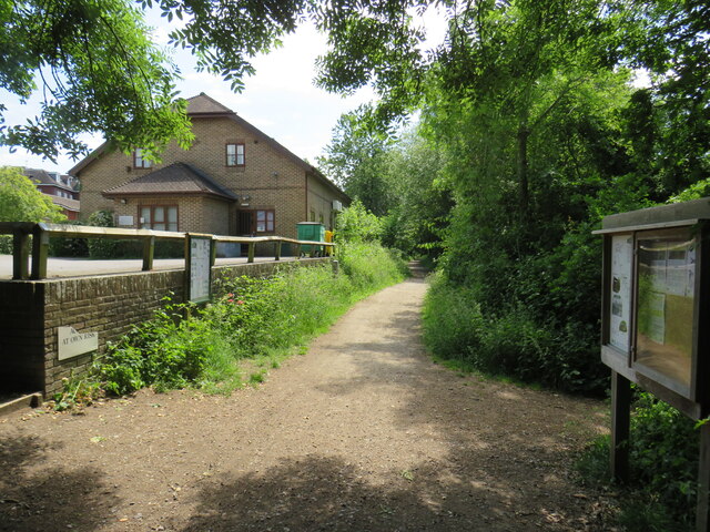
Traversing through Chephurst Copse is a network of well-maintained footpaths, allowing visitors to explore the woodland at their leisure. The paths wind through the trees, offering glimpses of wildflowers, ferns, and mosses that carpet the forest floor. The tranquil atmosphere and the scent of earth and foliage make it a delightful place for a leisurely stroll or a peaceful picnic.

Chephurst Copse also holds historical significance, with evidence of human habitation dating back centuries. Remnants of ancient settlements, such as ditches and earthworks, can be found scattered throughout the woodland, providing insight into the area's rich history.

The copse is open to the public year-round, and admission is free. It is recommended to wear appropriate footwear and clothing, especially during wet weather, as some paths may become muddy. Additionally, visitors are encouraged to respect the natural environment and wildlife by not littering and keeping dogs on a leash.

If you have any feedback on the listing, please let us know in the comments section below.

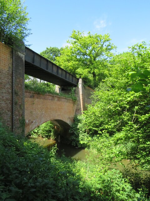
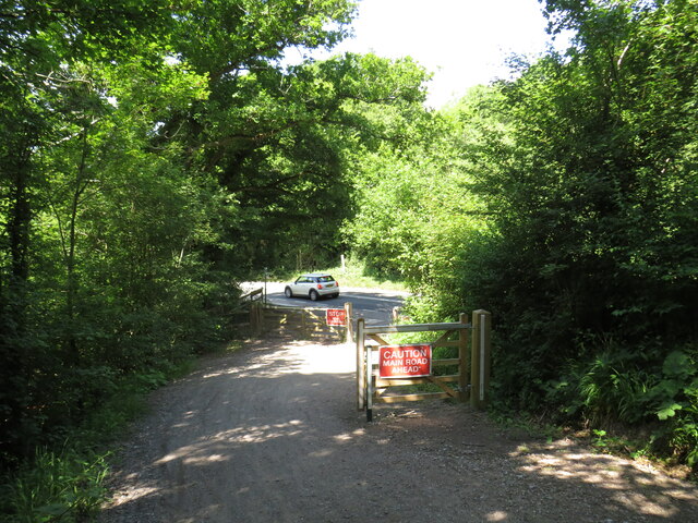
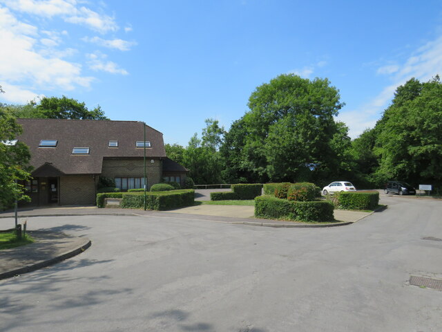
Chephurst Copse Images

Images are sourced within 2km of 51.075306/-0.45400539 or Grid Reference TQ0831. Thanks to Geograph Open Source API. All images are credited.

Downs Link, near Slinfold A view of the Downs Link path as it approaches Slinfold in West Sussex.  The path follows a dismantled railway line.  It also forms part of route 223 of the National Cycle Network.

Here, a public footpath crosses the Downs Link path.
Downs Link, near Slinfold
A view of the Downs Link path as it approaches Slinfold in West Sussex. The path follows a dismantled railway line. It also forms part of route 223 of the National Cycle Network. Here, a public footpath crosses the Downs Link path.
Double bridge near Rudgwick, West Sussex The double bridge which crosses the River Arun near Rudgwick is unique in Britain, in having both a brick arch and an iron girder.

The brick arch was built to carry a railway line across the river.  However, on the far side of the river, the railway would then climb a steep gradient into Rudgwick station.  Inspectors from the government's Board of Trade refused permission for the railway to open, as they felt the gradient up to Rudgwick station was too steep.  The railway compamny therefore had to rebuild this section of the route with higher embankments, so that the gradient into Rudgwick was less steep.  As the railway had been raised to a higher level at this location, the iron girder bridge was installed to carry it across the river.  The brick arch has never been used for its intended purpose.

The railway opened in 1865 but closed a century later.  The railway route now forms part of the Downs Link long distance path, which itself forms part of route 223 of the National Cycle Network.
Double bridge near Rudgwick, West Sussex
The double bridge which crosses the River Arun near Rudgwick is unique in Britain, in having both a brick arch and an iron girder. The brick arch was built to carry a railway line across the river. However, on the far side of the river, the railway would then climb a steep gradient into Rudgwick station. Inspectors from the government's Board of Trade refused permission for the railway to open, as they felt the gradient up to Rudgwick station was too steep. The railway compamny therefore had to rebuild this section of the route with higher embankments, so that the gradient into Rudgwick was less steep. As the railway had been raised to a higher level at this location, the iron girder bridge was installed to carry it across the river. The brick arch has never been used for its intended purpose. The railway opened in 1865 but closed a century later. The railway route now forms part of the Downs Link long distance path, which itself forms part of route 223 of the National Cycle Network.
Downs Link, near Rudgwick The Downs Link path follows a dismantled railway line for almost all of its length.  It also forms part of route 223 of the National Cycle Network.

Here, there used to be a bridge carrying the railway across the A281 road.  The bridge was demolished after the railway closed, and the Downs Link path therefore descends to road level to cross the road.  There has been a long-running campaign to reinstate a bridge here.  Sadly, a 20-year-old cyclist was killed in 2020 whilst crossing the road at this point.
Downs Link, near Rudgwick
The Downs Link path follows a dismantled railway line for almost all of its length. It also forms part of route 223 of the National Cycle Network. Here, there used to be a bridge carrying the railway across the A281 road. The bridge was demolished after the railway closed, and the Downs Link path therefore descends to road level to cross the road. There has been a long-running campaign to reinstate a bridge here. Sadly, a 20-year-old cyclist was killed in 2020 whilst crossing the road at this point.
Downs Link, Rudgwick A view of the Downs Link path at Rudgwick in West Sussex.  The path follows a dismantled railway line.  It also forms part of route 223 of the National Cycle Network.  The bridge in this photo carries a road across the former railway line.
Downs Link, Rudgwick
A view of the Downs Link path at Rudgwick in West Sussex. The path follows a dismantled railway line. It also forms part of route 223 of the National Cycle Network. The bridge in this photo carries a road across the former railway line.
Downs Link, Rudgwick A view of the Downs Link path at Rudgwick in West Sussex.  The path follows a dismantled railway line.  It also forms part of route 223 of the National Cycle Network.

Here, the path passes through the site of Rudgwick station.  The station and railway line closed in 1965, and very little trace of the station remains.  The block of flats to the right of the path has been built on the site of the station's goods yard.  More information about Rudgwick station, including photographs, can be found on the Disused Stations website: <span class="nowrap"><a title="http://www.disused-stations.org.uk/r/rudgwick/" rel="nofollow ugc noopener" href="http://www.disused-stations.org.uk/r/rudgwick/">Link</a><img style="margin-left:2px;" alt="External link" title="External link - shift click to open in new window" src="https://s1.geograph.org.uk/img/external.png" width="10" height="10"/></span>
Downs Link, Rudgwick
A view of the Downs Link path at Rudgwick in West Sussex. The path follows a dismantled railway line. It also forms part of route 223 of the National Cycle Network. Here, the path passes through the site of Rudgwick station. The station and railway line closed in 1965, and very little trace of the station remains. The block of flats to the right of the path has been built on the site of the station's goods yard. More information about Rudgwick station, including photographs, can be found on the Disused Stations website: LinkExternal link
Houses on Station Road, Rudgwick Houses close to the site of Rudgwick station, which closed in 1965.
Houses on Station Road, Rudgwick
Houses close to the site of Rudgwick station, which closed in 1965.
Site of railway station, Rudgwick near Horsham This was the site of Rudgwick's railway station, which closed in 1965.  Little trace of the station remains, with the site put to new uses.  The building to the left of the image is a health centre.
Site of railway station, Rudgwick near Horsham
This was the site of Rudgwick's railway station, which closed in 1965. Little trace of the station remains, with the site put to new uses. The building to the left of the image is a health centre.
The Sidings, Rudgwick The Sidings is a small residential development on the site of the former station goods yard at Rudgwick, in West Sussex.
The Sidings, Rudgwick
The Sidings is a small residential development on the site of the former station goods yard at Rudgwick, in West Sussex.
The Sidings, Rudgwick The Sidings is a small residential development on the site of the former station goods yard at Rudgwick, in West Sussex.  The building to the left of the image is a health centre.
The Sidings, Rudgwick
The Sidings is a small residential development on the site of the former station goods yard at Rudgwick, in West Sussex. The building to the left of the image is a health centre.
Downs Link at Rudgwick station site The Downs Link path follows a dismantled railway line for most of its length.  It also forms part of route 223 of the National Cycle Network.

Here, the path passes through the site of Rudgwick railway station.  More information about Rudgwick station can be found on the Disused Stations website: <span class="nowrap"><a title="http://www.disused-stations.org.uk/r/rudgwick/" rel="nofollow ugc noopener" href="http://www.disused-stations.org.uk/r/rudgwick/">Link</a><img style="margin-left:2px;" alt="External link" title="External link - shift click to open in new window" src="https://s1.geograph.org.uk/img/external.png" width="10" height="10"/></span>
Downs Link at Rudgwick station site
The Downs Link path follows a dismantled railway line for most of its length. It also forms part of route 223 of the National Cycle Network. Here, the path passes through the site of Rudgwick railway station. More information about Rudgwick station can be found on the Disused Stations website: LinkExternal link
Plum Tree Cottage on Marles Lane See also <a title="https://www.geograph.org.uk/photo/1356052" href="https://www.geograph.org.uk/photo/1356052">Link</a>.
Plum Tree Cottage on Marles Lane
See also Link.
Okehurst Rd
Okehurst Rd
Lannard's Copse
Lannard's Copse
Lannard's Copse
Lannard's Copse
Okehurst Rd
Okehurst Rd
Lanard's Copse
Lanard's Copse
Sheep at the water trough The footpath is signed with an odd change of direction in the middle of the field, but it seems there used to be a hedgerow here. This sign does not seem to be on the line on the OS maps, but it is unimportant across an otherwise featureless field.
Sheep at the water trough
The footpath is signed with an odd change of direction in the middle of the field, but it seems there used to be a hedgerow here. This sign does not seem to be on the line on the OS maps, but it is unimportant across an otherwise featureless field.
Show me another place!

Chephurst Copse is located at Grid Ref: TQ0831 (Lat: 51.075306, Lng: -0.45400539)

Administrative County: West Sussex

District: Horsham

Police Authority: Sussex

What 3 Words

///questions.exposing.dragonfly. Near Rudgwick, West Sussex

Related Wikis

Tisman's Common

Tisman's Common is a hamlet in the Horsham District of West Sussex, England. It stands in the parish of Rudgwick, on the Rudgwick to Loxwood road, 6.4...

Rudgwick railway station

Rudgwick railway station was on the Cranleigh Line. It served the village of Rudgwick in West Sussex until June, 1965. == History == Rudgwick station opened...

Rudgwick

Rudgwick is a village and civil parish in the Horsham District of West Sussex, England. The village is 6 miles (10 km) west from Horsham on the north...

Holy Trinity Church, Rudgwick

Holy Trinity Church is the Anglican parish church of Rudgwick, a village in the Horsham district of West Sussex, England. The oldest part of the church...

The Haven, West Sussex

The Haven is a rural hamlet in West Sussex, south east England located about 7 miles to the west of Horsham.The Haven is primarily an agricultural area...

Slinfold railway station

Slinfold railway station was on the Cranleigh Line and served the village of Slinfold in West Sussex. == History == The line had a single track and opened...

Rikkyo School in England

Rikkyo School in England (立教英国学院, Rikkyō Eikoku Gakuin) is a Japanese boarding primary and secondary school in Rudgwick, Horsham District, West Sussex...

Baynards railway station

Baynards was a railway station on the Cranleigh Line, between Guildford, Surrey, and Horsham, West Sussex, England. The station opened with the line on...

Nearby Amenities

Located within 500m of 51.075306,-0.45400539
Howick Farm
Place: farm
Lat/Long: 51.0737723/-0.459265
Colin's Cross Farm
Place: farm
Lat/Long: 51.0741577/-0.4528313
Crossing
Lat/Long: 51.0752352/-0.4561187
The data included in this document is from www.openstreetmap.org. The data is made available under ODbL.

Have you been to Chephurst Copse?

Leave your review of Chephurst Copse below (or comments, questions and feedback).