Catton's Holt
Wood, Forest in Lincolnshire North Kesteven
England
Catton's Holt
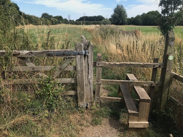
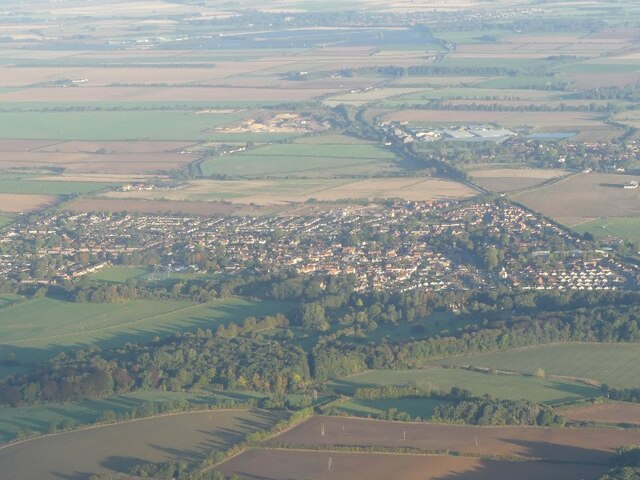
Catton's Holt is a picturesque woodland area located in the county of Lincolnshire, England. Situated in the heart of the county, this enchanting forest is known for its natural beauty and serene atmosphere. Spanning over a vast area, Catton's Holt is a haven for nature lovers and those seeking tranquility away from the hustle and bustle of urban life.
This woodland is characterized by its dense canopy of tall, majestic trees that create a cool and shaded environment. The primary tree species found in Catton's Holt include oak, beech, and birch, which provide a diverse and rich habitat for various wildlife species. The forest floor is covered with a lush layer of moss, ferns, and wildflowers, adding to the overall charm of this woodland.
Catton's Holt is a popular destination for outdoor enthusiasts, offering numerous walking trails that meander through the forest. These trails allow visitors to explore the woodland at their own pace, providing ample opportunities to spot wildlife such as deer, foxes, and a variety of bird species. The forest is also home to a small lake, providing a tranquil spot for fishing or simply enjoying the serene surroundings.
Managed by the local authorities, Catton's Holt is well-maintained, ensuring the preservation of its natural beauty and ecological integrity. The forest is open to the public year-round, with designated picnic areas and benches for visitors to relax and enjoy the peaceful ambiance.
Overall, Catton's Holt in Lincolnshire is a captivating woodland that offers a harmonious blend of natural beauty and recreational opportunities, making it an ideal destination for nature enthusiasts and those seeking solace amidst nature.
If you have any feedback on the listing, please let us know in the comments section below.
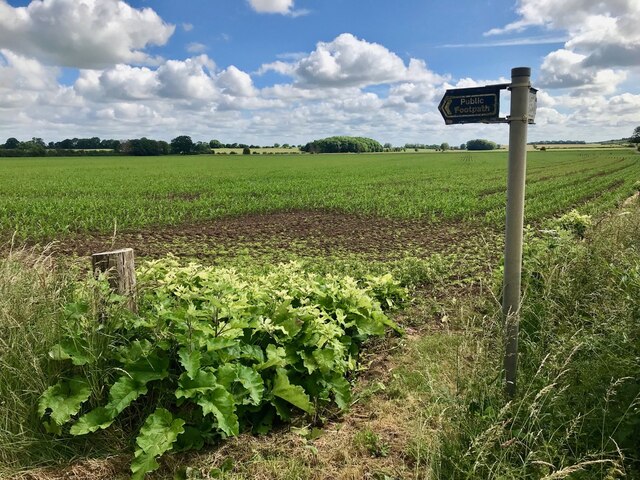
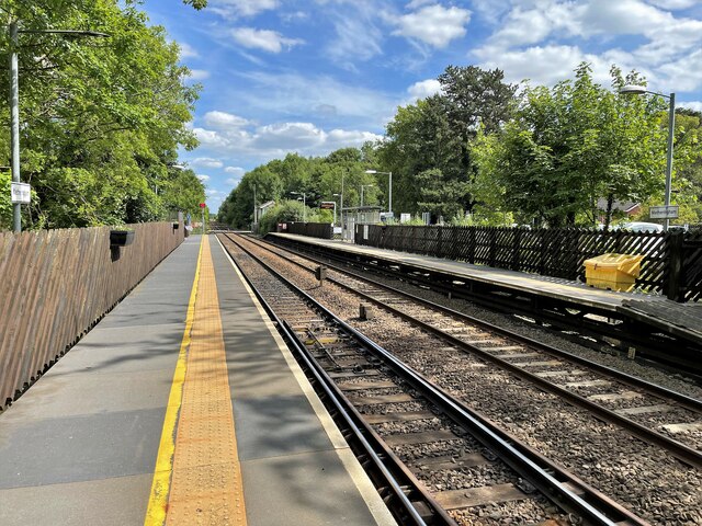
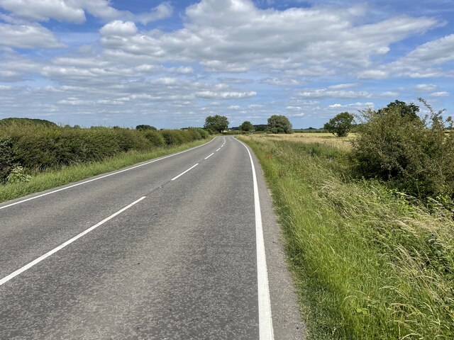
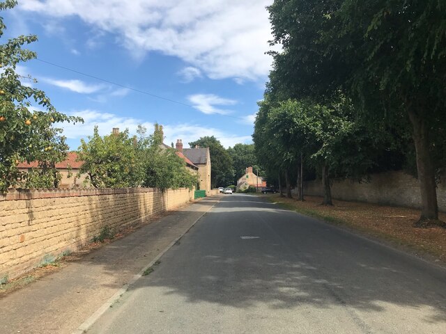
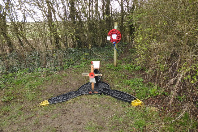
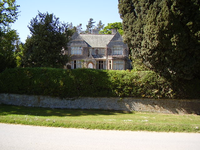
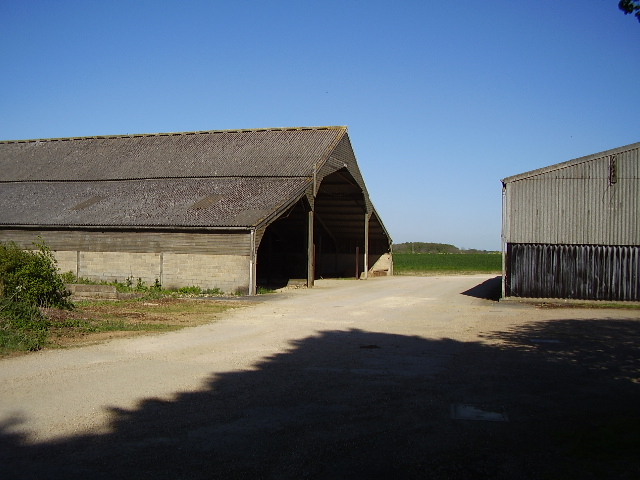
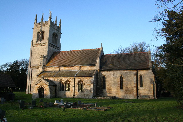
Catton's Holt Images
Images are sourced within 2km of 53.129751/-0.38399173 or Grid Reference TF0860. Thanks to Geograph Open Source API. All images are credited.


Catton's Holt is located at Grid Ref: TF0860 (Lat: 53.129751, Lng: -0.38399173)
Administrative County: Lincolnshire
District: North Kesteven
Police Authority: Lincolnshire
What 3 Words
///additives.trail.preparing. Near Metheringham, Lincolnshire
Nearby Locations
Related Wikis

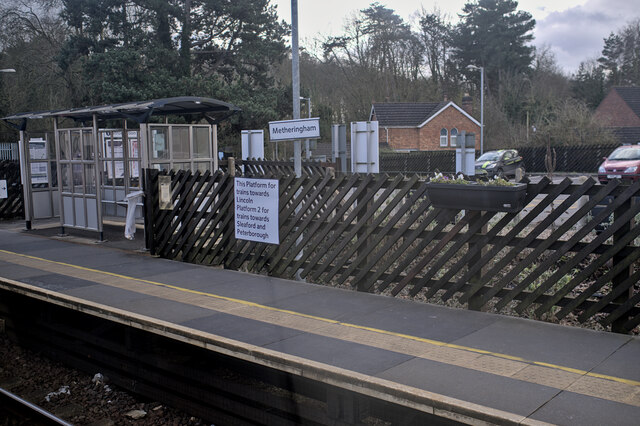
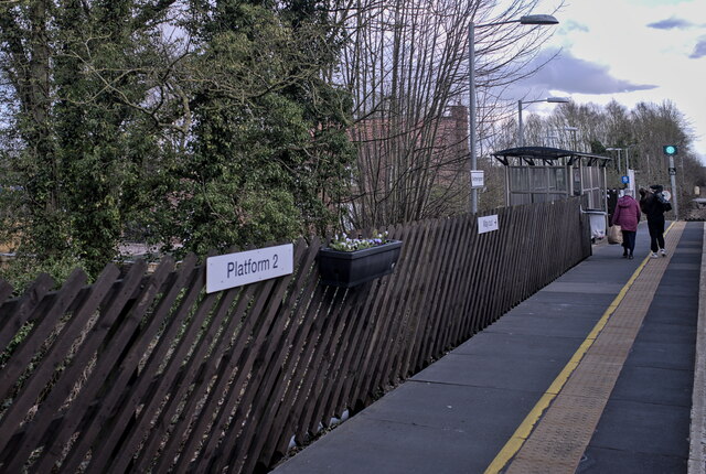
Metheringham railway station
Metheringham railway station serves the village of Metheringham in Lincolnshire, England. It lies on the Peterborough–Lincoln line. It is owned by Network...
Blankney
Blankney is a village and civil parish in the North Kesteven district of Lincolnshire, England. The population of the civil parish at the 2011 census was...

Metheringham
Metheringham is a village and civil parish in the North Kesteven district of Lincolnshire, England. The population of the civil parish at the 2011 census...
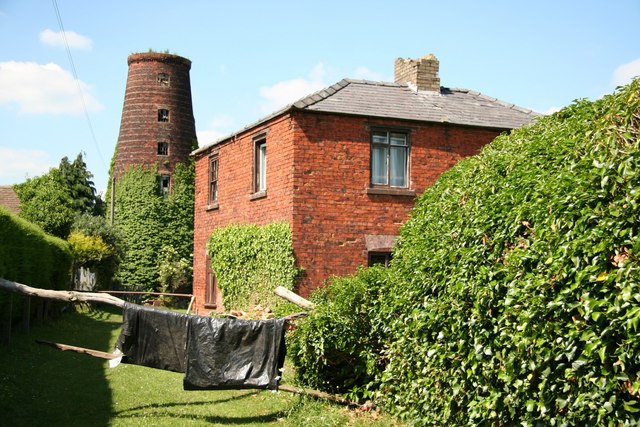
Metheringham Windmill
Metheringham Windmill, locally known as The Old Meg Flour Mill, was a six-storeyed, six-sailed, and tarred slender Lincolnshire type windmill with the...
Nearby Amenities
Located within 500m of 53.129751,-0.38399173Have you been to Catton's Holt?
Leave your review of Catton's Holt below (or comments, questions and feedback).