Hook Wood
Wood, Forest in Surrey Guildford
England
Hook Wood
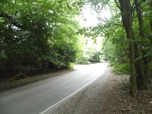
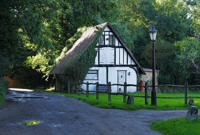
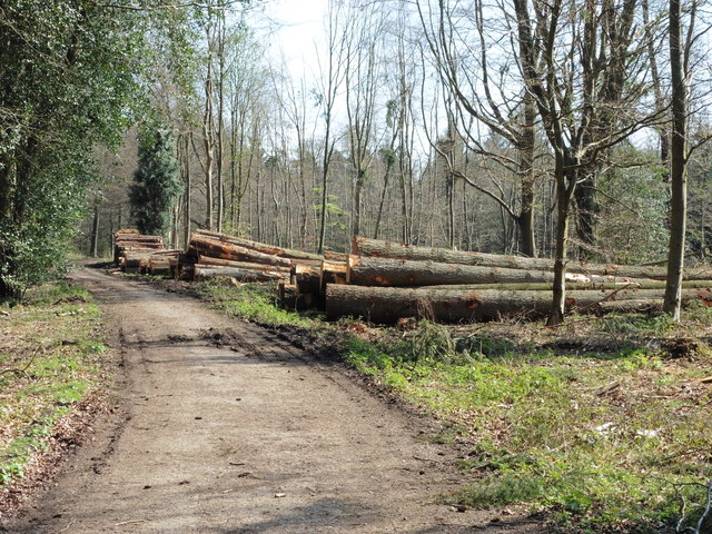
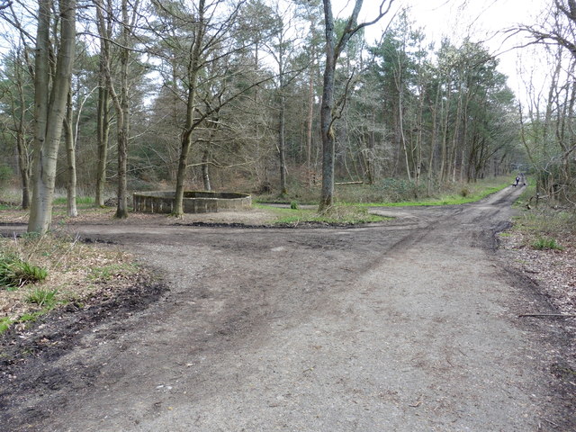
Hook Wood is a picturesque woodland located in Surrey, England. Covering an area of approximately 150 acres, this ancient forest is a haven for nature enthusiasts and outdoor lovers alike. The wood is situated near the village of Hook, just a short distance from the larger town of Chessington.
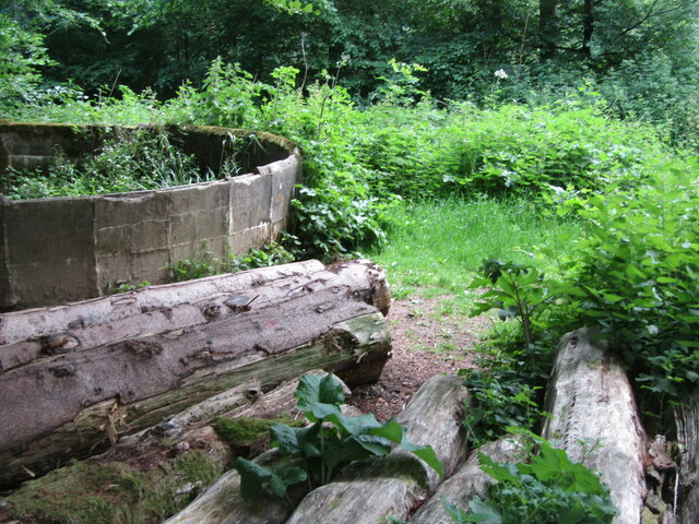
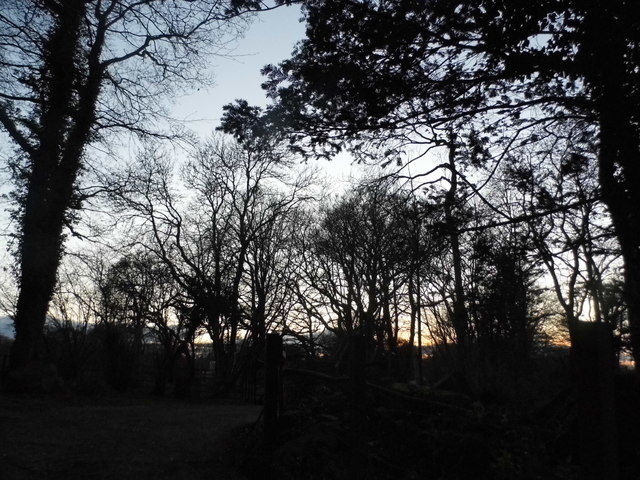
The wood is predominantly made up of a variety of broadleaf trees, including oak, beech, and birch, which create a lush and vibrant landscape throughout the seasons. The dense foliage provides shade and shelter for a diverse range of wildlife, making it a popular spot for birdwatching and nature photography.
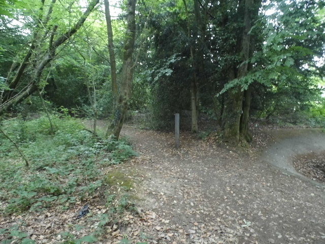
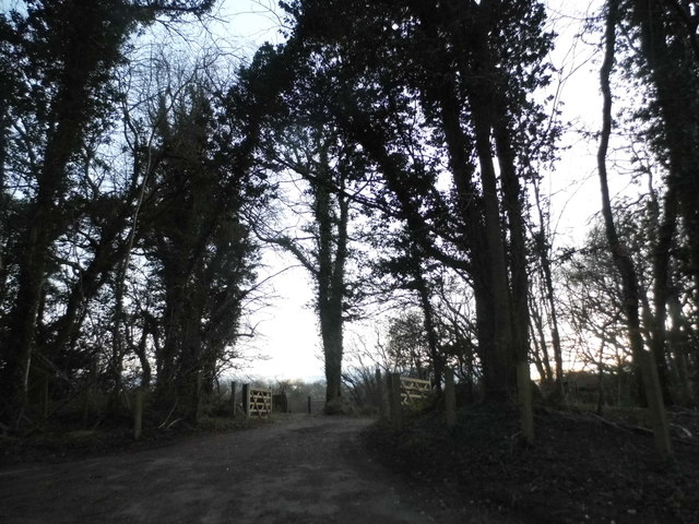
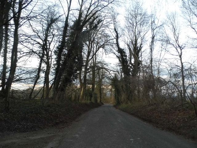
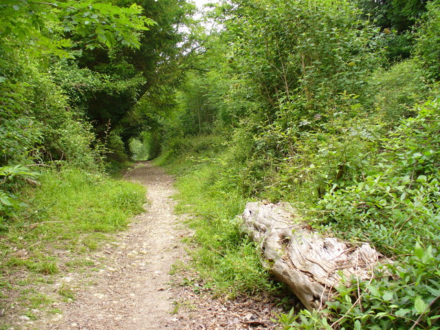
Traversing through Hook Wood, visitors can explore a network of well-maintained footpaths, which wind their way through the trees and offer stunning views of the surrounding countryside. The wood also features a small stream that meanders through the landscape, adding to its natural beauty.
The woodland is managed by a local conservation group, ensuring that the area is preserved and protected for future generations. They work to maintain the ecosystem and biodiversity of the wood, as well as providing educational opportunities for schools and other interested groups.
Hook Wood is a peaceful and tranquil escape from the hustle and bustle of everyday life, offering visitors a chance to reconnect with nature and enjoy the beauty of the Surrey countryside. Whether it's a leisurely stroll, a picnic under the shade of a tree, or simply immersing oneself in the sights and sounds of the woodland, Hook Wood is a true gem for nature lovers.
If you have any feedback on the listing, please let us know in the comments section below.
Hook Wood Images
Images are sourced within 2km of 51.246479/-0.45785848 or Grid Reference TQ0750. Thanks to Geograph Open Source API. All images are credited.


Hook Wood is located at Grid Ref: TQ0750 (Lat: 51.246479, Lng: -0.45785848)
Administrative County: Surrey
District: Guildford
Police Authority: Surrey
What 3 Words
///hang.swing.sheep. Near West Horsley, Surrey
Nearby Locations
Related Wikis

Surrey
Surrey () is a ceremonial county in South East England and one of the home counties. It is bordered by Greater London to the northeast, Kent to the east...

Upper Common Pits
Upper Common Pits is a 3-hectare (7.4-acre) geological Site of Special Scientific Interest in the north of Gomshall in Surrey. It is a Geological Conservation...

Sheepleas
Sheepleas is a 99.9-hectare (247-acre) biological and geological Site of Special Scientific Interest east of Guildford in Surrey. It is a Geological Conservation...

Hatchlands Park
Hatchlands Park is a red-brick country house with surrounding gardens in East Clandon, Surrey, England, covering 170 hectares (430 acres). It is located...

West Horsley
West Horsley is a semi-rural village between Guildford and Leatherhead in Surrey, England. It lies on the A246, and south of the M25 and the A3. Its civil...

Netley Heath
Netley Heath is an area of woods and heathland in the parish of Shere close to Gomshall in Surrey, England. It is part of a larger geological stratum across...
East Clandon
East Clandon is a village and civil parish in Surrey, England on the A246 between the towns of Guildford to the west and Leatherhead to the east. Neighbouring...
Combe Bottom
Combe Bottom is a 42.1-hectare (104-acre) biological Site of Special Scientific Interest north of Shere in Surrey. It is designated a Local Nature Reserve...
Nearby Amenities
Located within 500m of 51.246479,-0.45785848Have you been to Hook Wood?
Leave your review of Hook Wood below (or comments, questions and feedback).