Becks Wood
Wood, Forest in Lincolnshire North Kesteven
England
Becks Wood
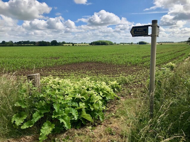
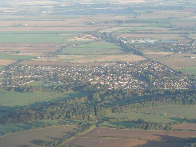
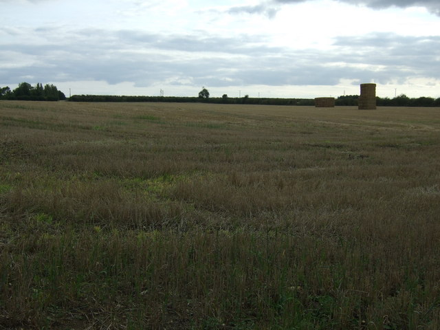
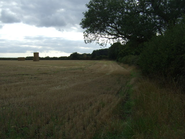
Becks Wood is a small woodland area located in the county of Lincolnshire, England. Situated near the village of Wood, this forest covers an area of approximately 50 acres. The wood is primarily composed of deciduous trees, such as oak, beech, and ash, which create a dense canopy overhead.
The woodland is known for its rich biodiversity and is home to a variety of flora and fauna. Bluebells, wild garlic, and wood anemones carpet the forest floor in the spring, creating a stunning display of color. The trees provide a habitat for numerous bird species, including woodpeckers, owls, and songbirds. Squirrels can also be spotted scampering among the branches.
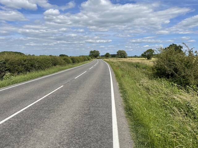
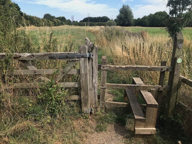
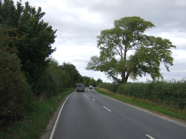
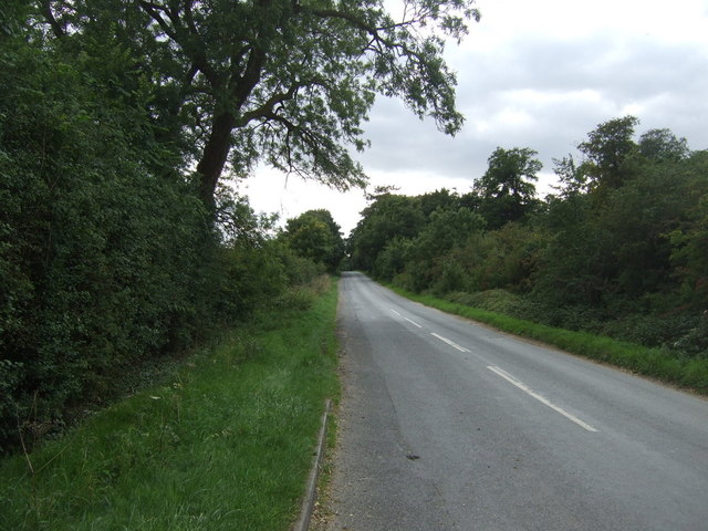
Becks Wood is a popular destination for nature lovers and walkers, offering peaceful trails that wind through the trees. The paths are well-maintained, making it accessible for visitors of all ages and abilities. There are several benches and picnic areas dotted throughout the wood, providing spots for visitors to rest and enjoy the tranquil surroundings.
The woodland is managed by the local authorities, who ensure its conservation and protection. They actively promote sustainable practices and encourage visitors to follow the "leave no trace" principle, respecting the natural environment and taking their litter home.
Overall, Becks Wood in Lincolnshire is a beautiful and serene forest, offering a peaceful escape from the hustle and bustle of everyday life. Its diverse range of flora and fauna make it a haven for wildlife enthusiasts, while its well-maintained trails provide a pleasant experience for all who venture into its midst.
If you have any feedback on the listing, please let us know in the comments section below.
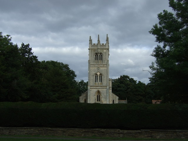
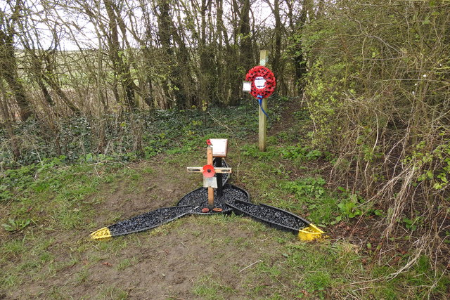
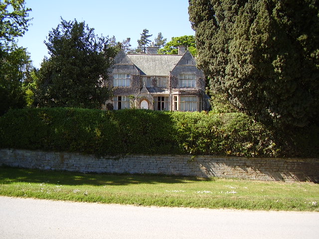
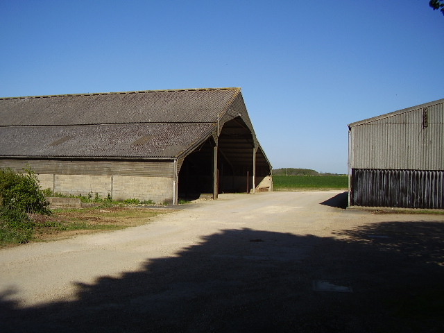
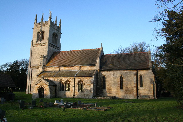
Becks Wood Images
Images are sourced within 2km of 53.132344/-0.39622636 or Grid Reference TF0760. Thanks to Geograph Open Source API. All images are credited.


Becks Wood is located at Grid Ref: TF0760 (Lat: 53.132344, Lng: -0.39622636)
Administrative County: Lincolnshire
District: North Kesteven
Police Authority: Lincolnshire
What 3 Words
///factored.incline.starters. Near Metheringham, Lincolnshire
Nearby Locations
Related Wikis
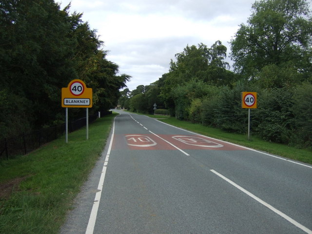
Blankney
Blankney is a village and civil parish in the North Kesteven district of Lincolnshire, England. The population of the civil parish at the 2011 census was...

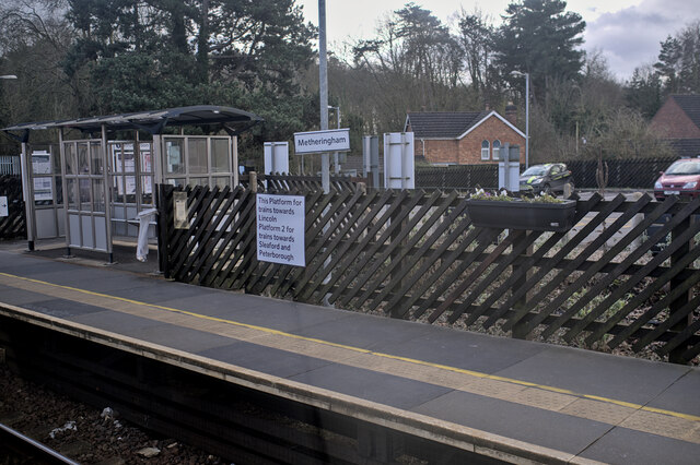
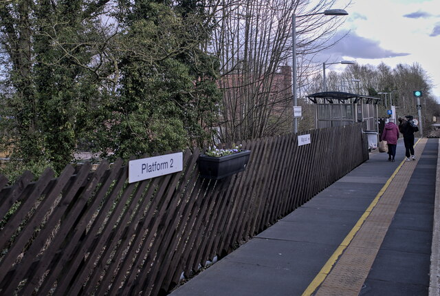
Metheringham railway station
Metheringham railway station serves the village of Metheringham in Lincolnshire, England. It lies on the Peterborough–Lincoln line. It is owned by Network...

Metheringham
Metheringham is a village and civil parish in the North Kesteven district of Lincolnshire, England. The population of the civil parish at the 2011 census...
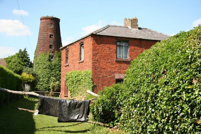
Metheringham Windmill
Metheringham Windmill, locally known as The Old Meg Flour Mill, was a six-storeyed, six-sailed, and tarred slender Lincolnshire type windmill with the...

Dunston, Lincolnshire
Dunston is a small village in the North Kesteven district of Lincolnshire, England. It is situated approximately 7 miles (11 km) south-east from the city...

Scopwick
Scopwick is a small village and civil parish in the district of North Kesteven, Lincolnshire, England, situated 6 miles (9.7 km) south from Lincoln. The...

Lincolnshire potato railways
The Lincolnshire potato railways were a network of private, 1 ft 11+1⁄2 in (597 mm) narrow gauge farm railways which existed in the English county of Lincolnshire...

Nocton and Dunston railway station
Nocton and Dunston railway station served Nocton and Dunston in Lincolnshire which shared a GNR/GER Joint railway station until it was closed for passengers...
Nearby Amenities
Located within 500m of 53.132344,-0.39622636Have you been to Becks Wood?
Leave your review of Becks Wood below (or comments, questions and feedback).