Ash Holt
Wood, Forest in Lincolnshire North Kesteven
England
Ash Holt
Ash Holt is a picturesque village located in Lincolnshire, England, known for its stunning woodlands and lush forests. Situated in the northern part of the county, Ash Holt is surrounded by natural beauty, making it a popular destination for nature enthusiasts and outdoor lovers.
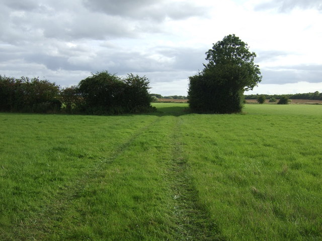
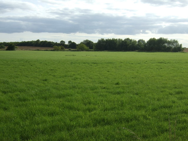
The village is characterized by its dense woodlands, which are home to a diverse range of flora and fauna. Visitors can enjoy exploring the well-maintained trails that wind through the forest, offering a peaceful and serene atmosphere. The woodlands are particularly enchanting during the autumn months when the leaves change color, creating a breathtaking display of vibrant hues.
In addition to its natural beauty, Ash Holt also boasts a close-knit community that takes pride in preserving the village's rich heritage. The houses in the village are predominantly traditional, with charming thatched roofs and quaint architecture. The local residents are friendly and welcoming, making visitors feel right at home.
Ash Holt is also known for its annual forest festival, which attracts visitors from near and far. This lively event showcases the village's cultural traditions, with live music performances, craft stalls, and delicious local food. It is a celebration of the village's deep connection to nature and its commitment to sustainability.
Overall, Ash Holt is a hidden gem in Lincolnshire, offering a peaceful retreat for those seeking solace in nature. Whether it's exploring the woodlands, immersing oneself in the village's rich heritage, or enjoying the festivities of the annual forest festival, Ash Holt has something to offer for everyone.
If you have any feedback on the listing, please let us know in the comments section below.
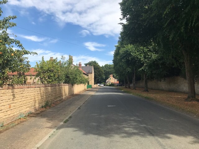
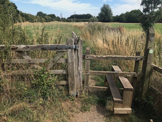
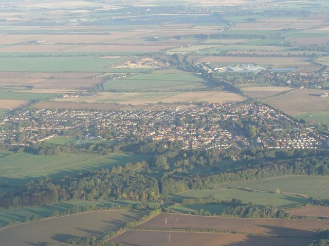
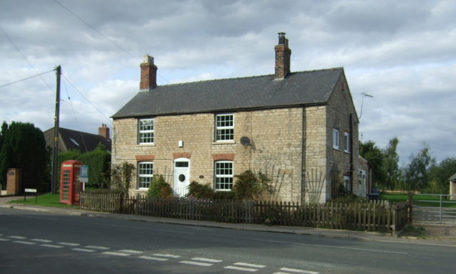
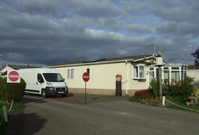
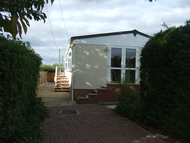
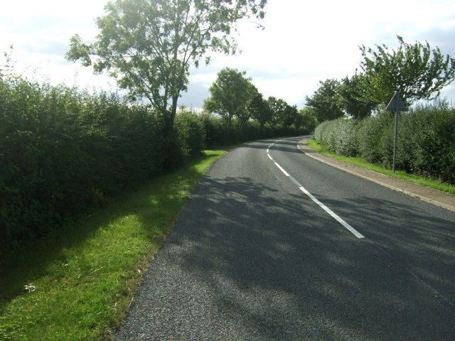
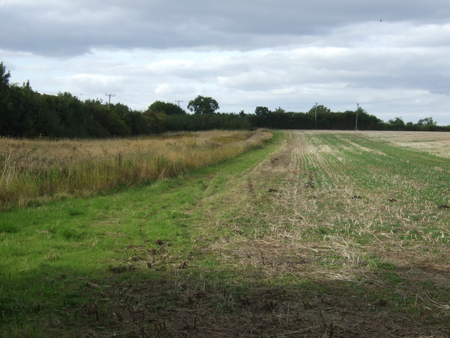
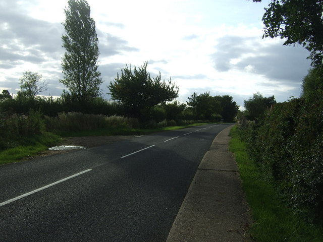
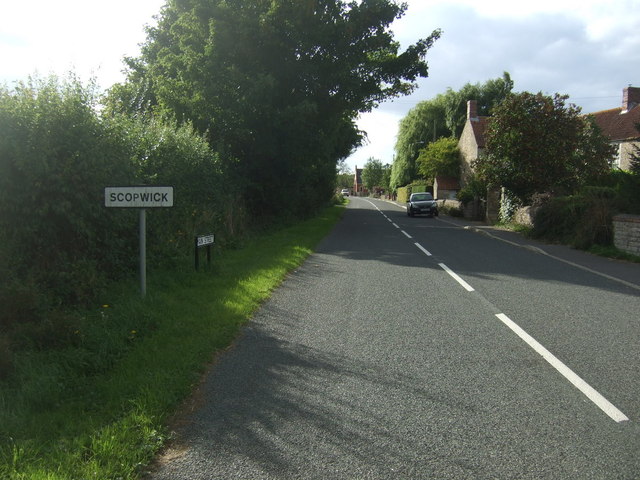
Ash Holt Images
Images are sourced within 2km of 53.120615/-0.39778374 or Grid Reference TF0759. Thanks to Geograph Open Source API. All images are credited.
Ash Holt is located at Grid Ref: TF0759 (Lat: 53.120615, Lng: -0.39778374)
Administrative County: Lincolnshire
District: North Kesteven
Police Authority: Lincolnshire
What 3 Words
///lush.panic.elevates. Near Metheringham, Lincolnshire
Nearby Locations
Related Wikis
Blankney
Blankney is a village and civil parish in the North Kesteven district of Lincolnshire, England. The population of the civil parish at the 2011 census was...

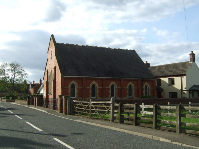
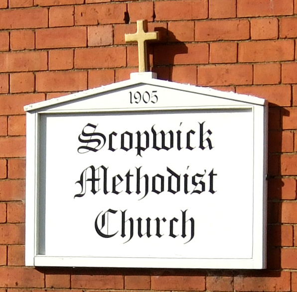
Scopwick
Scopwick is a small village and civil parish in the district of North Kesteven, Lincolnshire, England, situated 6 miles (9.7 km) south from Lincoln. The...

Kirkby Green
Kirkby Green is a small village in the North Kesteven district of Lincolnshire, England. The village lies east from Scopwick on the B1191 road to Timberland...

Metheringham
Metheringham is a village and civil parish in the North Kesteven district of Lincolnshire, England. The population of the civil parish at the 2011 census...

Metheringham railway station
Metheringham railway station serves the village of Metheringham in Lincolnshire, England. It lies on the Peterborough–Lincoln line. It is owned by Network...
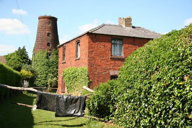
Metheringham Windmill
Metheringham Windmill, locally known as The Old Meg Flour Mill, was a six-storeyed, six-sailed, and tarred slender Lincolnshire type windmill with the...

Scopwick and Timberland railway station
Scopwick and Timberland railway station was a station in Scopwick, Lincolnshire, which was open between 1882 and 1955. == History == The railway line between...

Rowston
Rowston is a village and civil parish in the North Kesteven district of Lincolnshire, England, situated approximately 6 miles (10 km) north from the town...
Nearby Amenities
Located within 500m of 53.120615,-0.39778374Have you been to Ash Holt?
Leave your review of Ash Holt below (or comments, questions and feedback).