Berrybushes Wood
Wood, Forest in Hertfordshire Three Rivers
England
Berrybushes Wood
Berrybushes Wood is a charming woodland located in Hertfordshire, England. Covering an area of approximately 50 acres, this beautiful forest is a popular destination for nature lovers and outdoor enthusiasts.
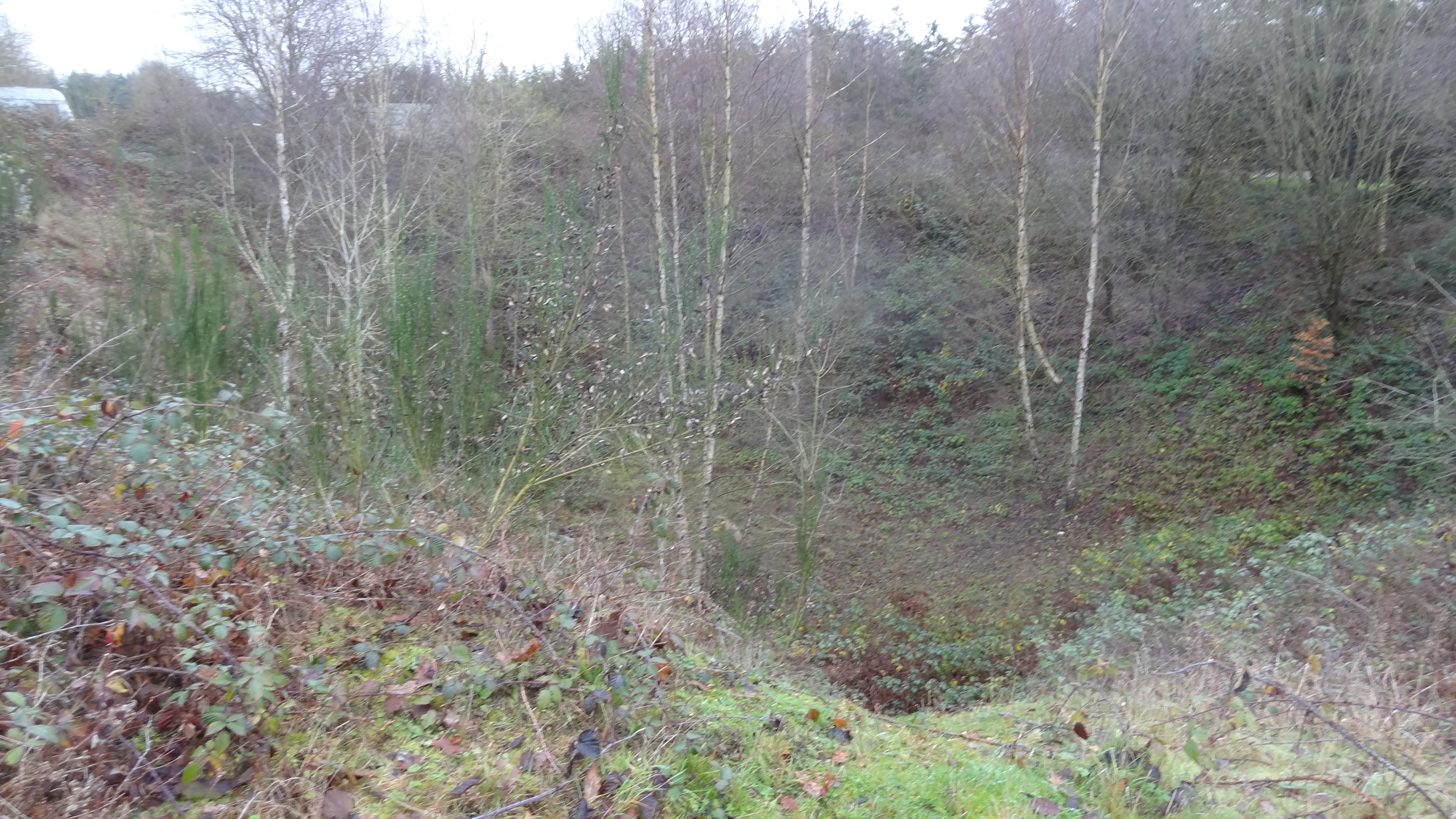
The wood is predominantly composed of oak and beech trees, their branches forming a dense canopy that filters sunlight and creates a peaceful and tranquil atmosphere. The forest floor is carpeted with a variety of wildflowers, ferns, and mosses, adding to the enchanting ambiance of the woodland.
Berrybushes Wood is home to a diverse range of wildlife, including mammals like deer, foxes, and badgers, as well as numerous species of birds such as woodpeckers, owls, and thrushes. It is also a habitat for various insects and butterflies, making it a haven for nature enthusiasts and photographers.
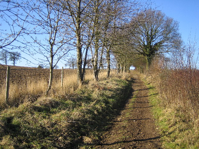
The wood offers a network of well-maintained footpaths, allowing visitors to explore its natural beauty at their own pace. The paths wind through the forest, taking visitors past picturesque streams, small ponds, and ancient trees. There are also several picnic areas and benches where visitors can rest and enjoy the tranquil surroundings.
Due to its proximity to residential areas, Berrybushes Wood is easily accessible by both car and public transportation. It is a popular destination for walking, jogging, and dog walking, providing a peaceful escape from the hustle and bustle of everyday life.
In conclusion, Berrybushes Wood is a delightful woodland in Hertfordshire, offering visitors a chance to immerse themselves in nature and experience the beauty of an ancient forest. With its stunning landscape, diverse wildlife, and peaceful atmosphere, it is a haven for nature lovers and a true gem in the heart of Hertfordshire.
If you have any feedback on the listing, please let us know in the comments section below.
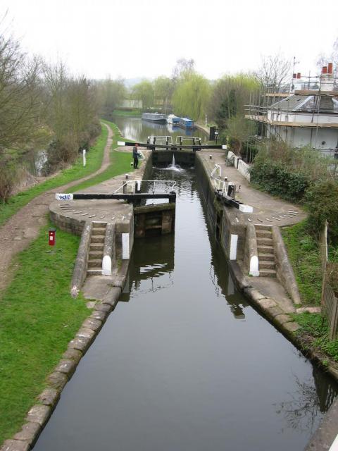
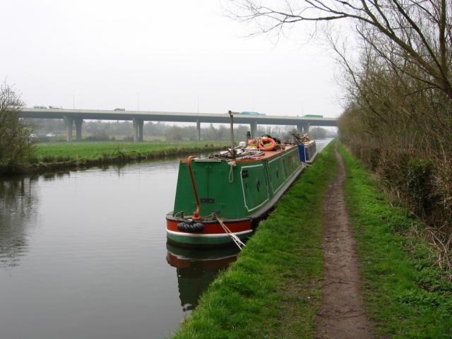
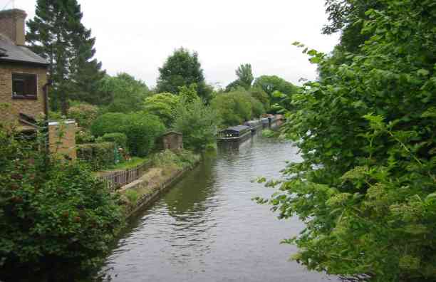
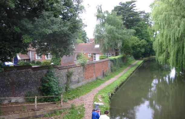
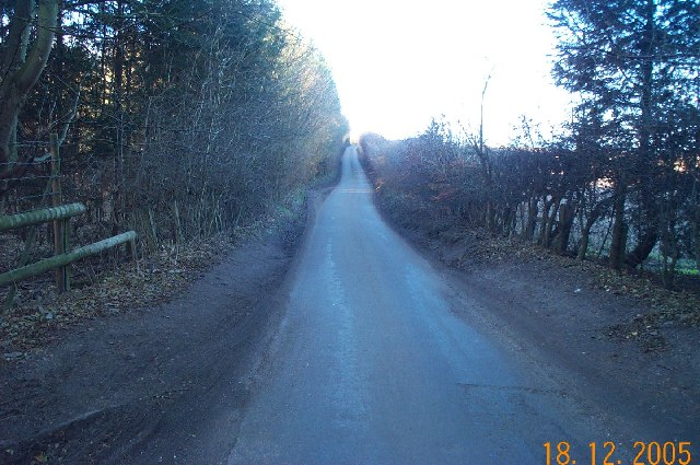
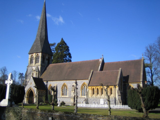
Berrybushes Wood Images
Images are sourced within 2km of 51.695212/-0.45877304 or Grid Reference TL0600. Thanks to Geograph Open Source API. All images are credited.


Berrybushes Wood is located at Grid Ref: TL0600 (Lat: 51.695212, Lng: -0.45877304)
Administrative County: Hertfordshire
District: Three Rivers
Police Authority: Hertfordshire
What 3 Words
///still.assist.sorters. Near Kings Langley, Hertfordshire
Nearby Locations
Related Wikis
Langleybury
Langleybury is a country house and estate in Abbots Langley, Hertfordshire, England, about 3 miles (5 km) northwest of the centre of the town of Watford...
Westwood Quarry
Westwood Quarry is a 0.07 hectares (0.17 acres) geological site of Special Scientific Interest west of Watford in Hertfordshire. It was notified in 1987...

Hunton Bridge
Hunton Bridge is a small settlement near Abbots Langley, Hertfordshire, England, with a historic royal connection. Its population in the 1991 census was...
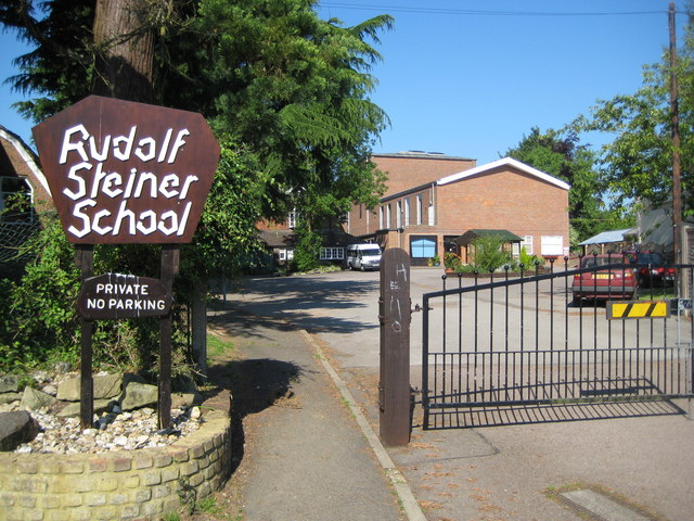
Rudolf Steiner School Kings Langley
Rudolf Steiner School Kings Langley was a Steiner School located in Kings Langley, Hertfordshire, England, formed in 1949. The school catered for pupils...

Kings Langley Palace
Kings Langley Palace was a 13th-century Royal Palace which was located to the west of the Hertfordshire village of Kings Langley in England. During the...
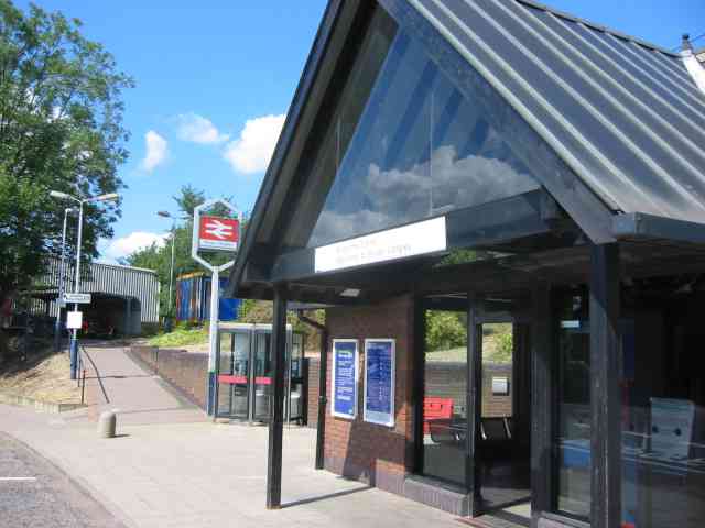
Kings Langley railway station
Kings Langley railway station is almost under the M25 motorway near Junction 20. It serves the village of Kings Langley, and the nearby villages of Abbots...

Langley House
Langley House is a Grade II* listed house in Kings Langley, Hertfordshire, England. It dates from the late 16th century, with later additions. == References ==
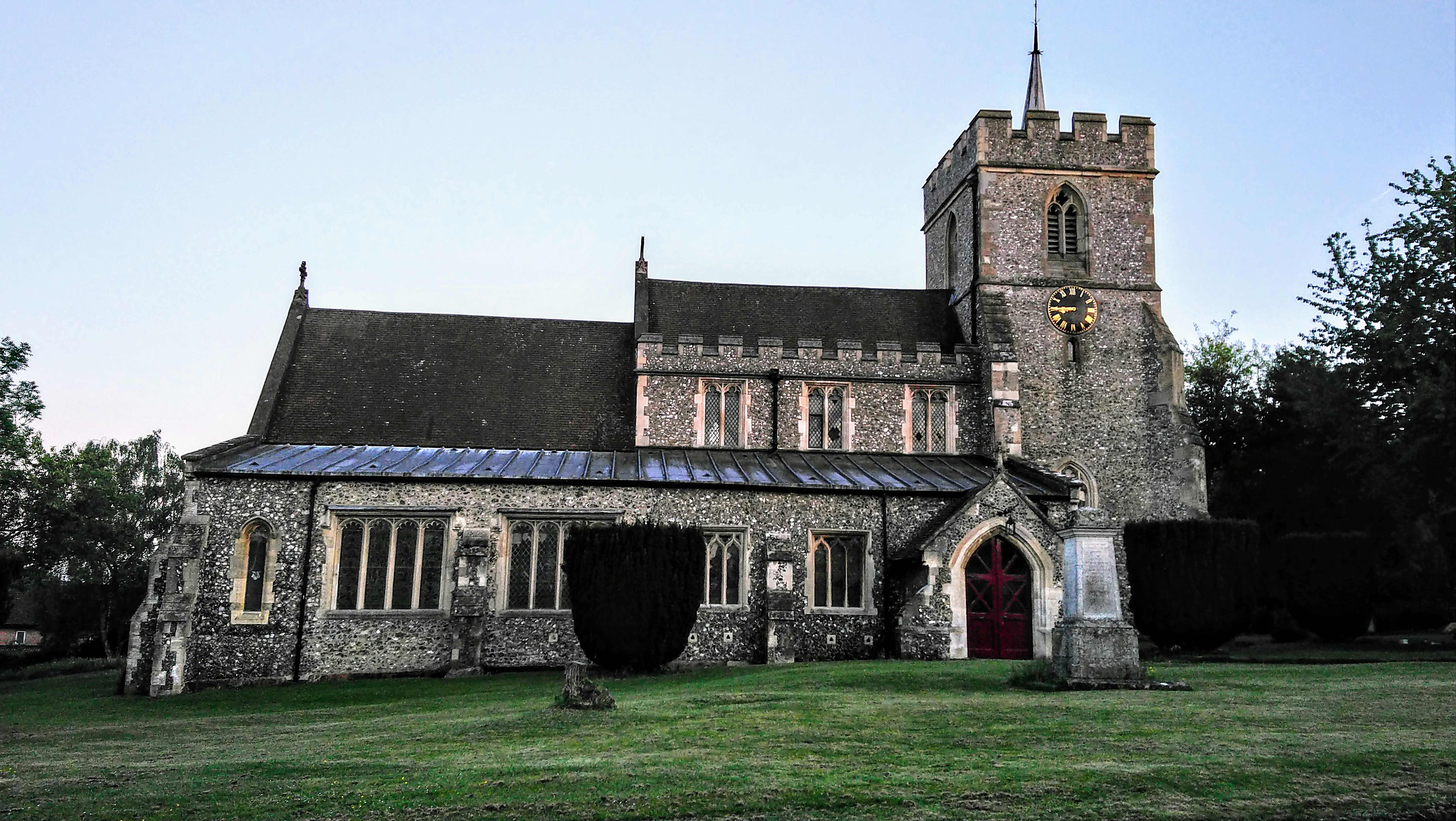
All Saints' Church, Kings Langley
All Saints' Church, Kings Langley is a parish church in the Church of England, located in the village of Kings Langley in Hertfordshire, England. Originating...
Have you been to Berrybushes Wood?
Leave your review of Berrybushes Wood below (or comments, questions and feedback).