Bush Spring
Wood, Forest in Hertfordshire Three Rivers
England
Bush Spring

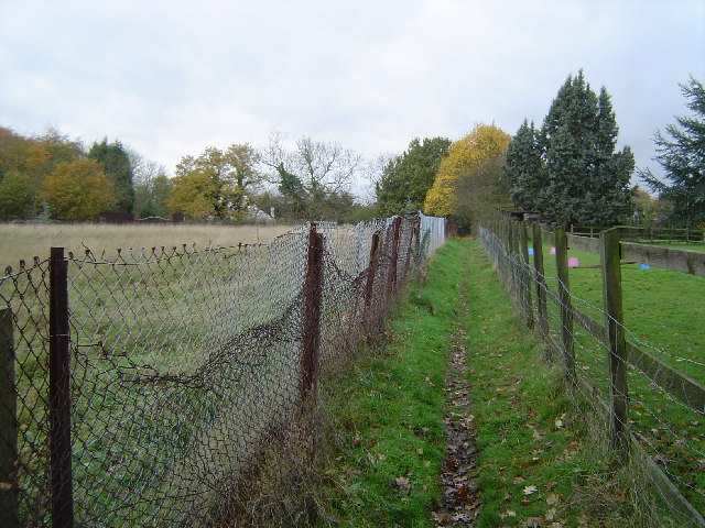
Bush Spring is a small woodland area located in Hertfordshire, England. Situated in the southeastern part of the county, it is nestled within the larger expanse of Hertfordshire's beautiful countryside. Covering an area of approximately 20 acres, Bush Spring is a tranquil and picturesque spot that offers a peaceful retreat from the hustle and bustle of urban life.
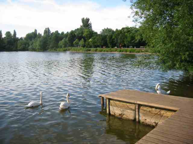
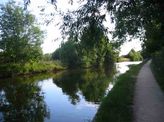
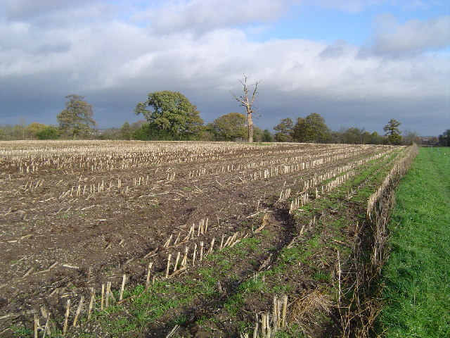
The woodland is characterized by a diverse range of trees, including oak, beech, and birch, which create a rich and vibrant tapestry of colors throughout the year. This lush and verdant environment provides a haven for various species of wildlife, such as deer, rabbits, and a multitude of bird species. Nature enthusiasts and birdwatchers often visit Bush Spring to observe and appreciate the local fauna and flora.
The woodland is crisscrossed by a network of well-maintained trails, making it an ideal location for leisurely walks, hiking, and cycling. Visitors can explore the winding paths that meander through the forest, immersing themselves in the sights, sounds, and scents of nature. In the springtime, the forest floor comes alive with a vibrant carpet of bluebells, adding an enchanting touch to the already stunning landscape.
Within Bush Spring, there are several picnic areas where visitors can relax and enjoy a meal amidst the natural surroundings. These areas are equipped with picnic tables and benches, providing a comfortable spot to unwind and soak up the peaceful ambiance of the woodland.
Overall, Bush Spring in Hertfordshire is a beautiful and serene woodland that offers visitors a chance to connect with nature and escape the stresses of everyday life.
If you have any feedback on the listing, please let us know in the comments section below.
Bush Spring Images
Images are sourced within 2km of 51.622277/-0.46138981 or Grid Reference TQ0692. Thanks to Geograph Open Source API. All images are credited.


Bush Spring is located at Grid Ref: TQ0692 (Lat: 51.622277, Lng: -0.46138981)
Administrative County: Hertfordshire
District: Three Rivers
Police Authority: Hertfordshire
What 3 Words
///meant.fixed.keep. Near Rickmansworth, Hertfordshire
Nearby Locations
Related Wikis
Batchworth
Batchworth was once a hamlet and is now a civil parish and part of Rickmansworth in Hertfordshire. The parish of Batchworth was created on 1 April 2017...

Moor Park Golf Club
Moor Park Golf Club is a country club located in Rickmansworth, Hertfordshire, England. It has two eighteen-hole golf courses, the High Course and the...
Moor Park (house)
Moor Park is a Neo-Palladian mansion set within several hundred acres of parkland to the south-east of Rickmansworth in Hertfordshire, England. It is called...
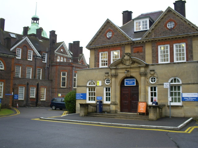
Mount Vernon Hospital
Mount Vernon Hospital is located in Northwood, an area of north-west Greater London. It is one of two hospitals run by The Hillingdon Hospitals NHS Foundation...
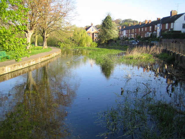
River Chess
The River Chess is a chalk stream that rises near Chesham in the Chiltern Hills, and flows for 11 miles (18 km) through Buckinghamshire and Hertfordshire...
Rickmansworth (Church Street) railway station
Rickmansworth (Church Street) railway station was a London and North Western Railway (LNWR) station in Rickmansworth, Hertfordshire, UK. Opened in 1862...

Rickmansworth Aquadrome
Rickmansworth Aquadrome is a 41 hectares (101 acres) public park and Local Nature Reserve in Rickmansworth in Hertfordshire. It is owned and managed by...

Rickmansworth
Rickmansworth (), is a town in south-west Hertfordshire, England; it is located about 17 miles (27 km) north-west of central London, 5 miles (8 km) south...
Nearby Amenities
Located within 500m of 51.622277,-0.46138981Have you been to Bush Spring?
Leave your review of Bush Spring below (or comments, questions and feedback).