Edginswell
Settlement in Devon
England
Edginswell

Edginswell is a small village located in the county of Devon, England. Situated just south of the town of Torquay, Edginswell is nestled in a picturesque rural setting, surrounded by rolling hills and beautiful countryside.
The village is known for its tranquil atmosphere and close-knit community. With a population of around 500 residents, Edginswell offers a peaceful and idyllic retreat from the bustle of city life. The village is characterized by its charming cottages and historic buildings, which provide a glimpse into its rich heritage.
Edginswell is well-connected to nearby towns and cities, making it a convenient place to live. The village benefits from excellent transport links, with the A380 road passing close by, providing easy access to Torquay and the wider Devon region.
Despite its small size, Edginswell has a range of amenities to offer its residents. The village boasts a local pub, a primary school, and a community center, which serves as a hub for various social activities and events. Nearby, there are also a number of shops and services available for everyday needs.
The surrounding natural beauty of Edginswell provides ample opportunities for outdoor activities. The village is situated near the stunning South Devon coastline, offering residents the chance to explore sandy beaches, picturesque coves, and scenic coastal walks.
In conclusion, Edginswell is a charming village in Devon, offering a peaceful and close-knit community, picturesque surroundings, and convenient access to nearby towns and the stunning South Devon coastline.
If you have any feedback on the listing, please let us know in the comments section below.
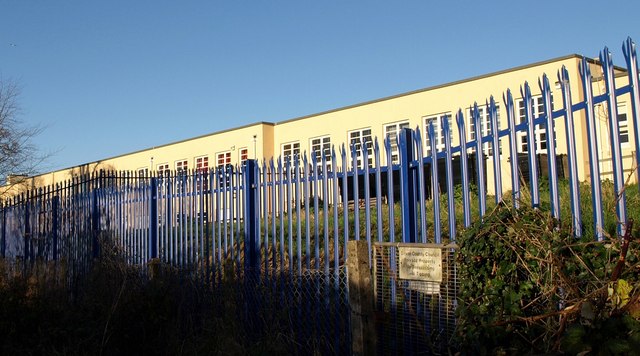
Edginswell Images
Images are sourced within 2km of 50.485851/-3.569579 or Grid Reference SX8866. Thanks to Geograph Open Source API. All images are credited.


Edginswell is located at Grid Ref: SX8866 (Lat: 50.485851, Lng: -3.569579)
Unitary Authority: Torbay
Police Authority: Devon and Cornwall
What 3 Words
///sleep.crisps.flop. Near Kingskerswell, Devon
Nearby Locations
Related Wikis
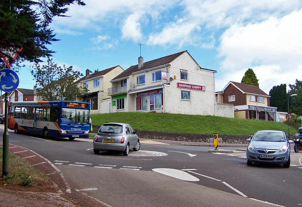
Shiphay
Shiphay is a district in the north of Torquay. It has population of about 6,000 and is the location of two grammar schools, three primary schools, the...

Edginswell railway station
Torquay Gateway railway station is a proposed station in the Edginswell area of Torquay, Devon. The station would be located on the Riviera Line between...
Devon Studio School
Devon Studio school was a Studio school and 6th form for boys and girls, located on Newton Road in Torquay, Devon, England in the grounds of Torbay Hospital...
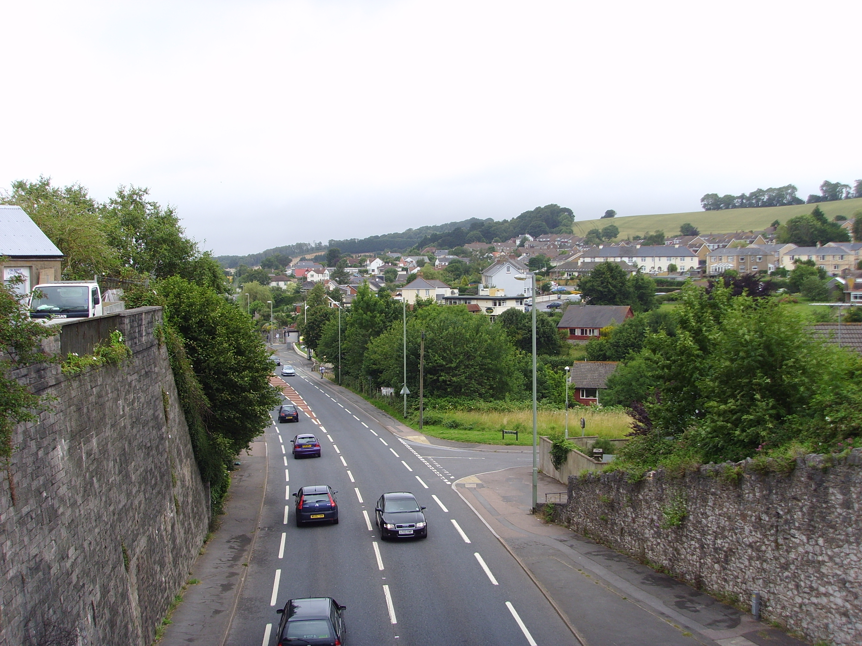
Kingskerswell
Kingskerswell (formerly Kings Carswell, or Kings Kerswell) is a village and civil parish within Teignbridge local government district in the south of Devon...
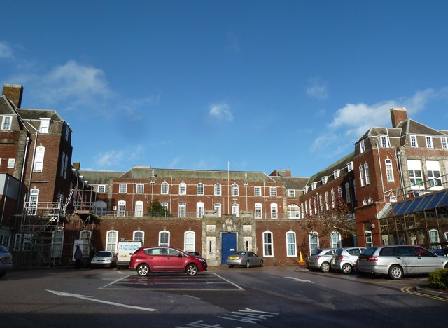
Torbay Hospital
Torbay Hospital in Torquay is the main hospital of South Devon, England. It is managed by the Torbay and South Devon NHS Foundation Trust. == History... ==

Torquay Boys' Grammar School
Torquay Boys' Grammar School is an 11–18 selective boys grammar school in Torquay, Devon, England. As of May 2023, it had 1,087 students. The school was...
Torquay Girls' Grammar School
Torquay Girls' Grammar School is a selective grammar school for girls aged 11–18, in Torquay, Devon, UK. It is situated directly beside Torquay Boys' Grammar...
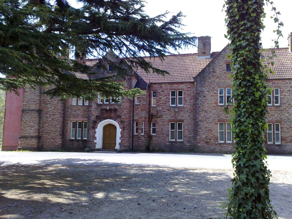
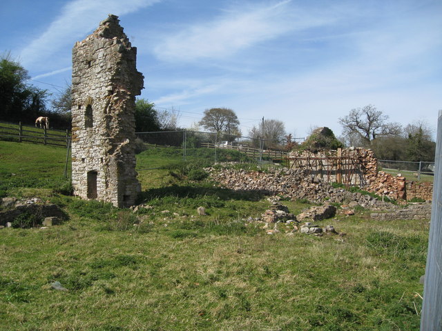
Shiphay Manor
Shiphay Manor is a Manor house in Torquay, Devon, England. Originally a monastic grange for nearby Torre Abbey, the current house was built in 1884 of...
Related Videos

Torquay Holiday Park | Full Tour And Review Of Parkdean Resort Devon
We stayed at Torquay Holiday Park in Devon for 3 nights in October '21. This is a Parkdean family Holiday resort situated on the ...

Parkdean Holiday Park Torquay, Devon
Parkdean Holiday Park Torquay, Devon This Parkdean Torquay holiday vlog provides families with all the information they need ...

Facilities at Torquay Holiday Park
Take a look and see what amazing facilities are on offer at Torquay Holiday Park, there's something for everyone. After you have ...

Torquay Holiday Vlog: Sun, Sand, and Smiles!
stunning beaches, indulge in delicious dining experiences, and soak up the sun at the iconic Grand Hotel on the picturesque ...
Nearby Amenities
Located within 500m of 50.485851,-3.569579Have you been to Edginswell?
Leave your review of Edginswell below (or comments, questions and feedback).