Spell Howe Plantation
Wood, Forest in Yorkshire Scarborough
England
Spell Howe Plantation
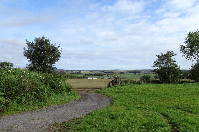
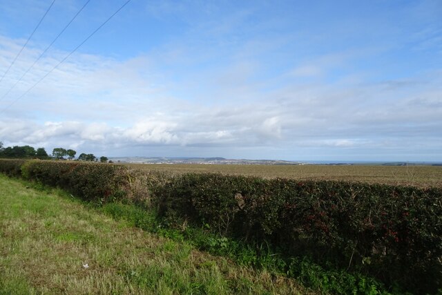
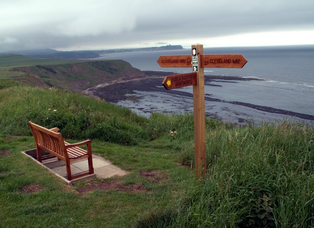
Spell Howe Plantation is a picturesque woodland located in Yorkshire, England. Spread across a vast area, the plantation is a haven for nature enthusiasts and those seeking tranquility amidst the beauty of the natural world. The plantation is situated within the larger Spell Howe Forest, adding to its allure as a destination for outdoor exploration.
The woodland is known for its diverse range of flora and fauna, with towering trees providing shade and shelter for a variety of wildlife species. Visitors can expect to encounter a rich tapestry of native plants, including oak, birch, and beech trees, amongst others. The vibrant colors of wildflowers, such as bluebells and primroses, add a touch of elegance to the already breathtaking landscape.
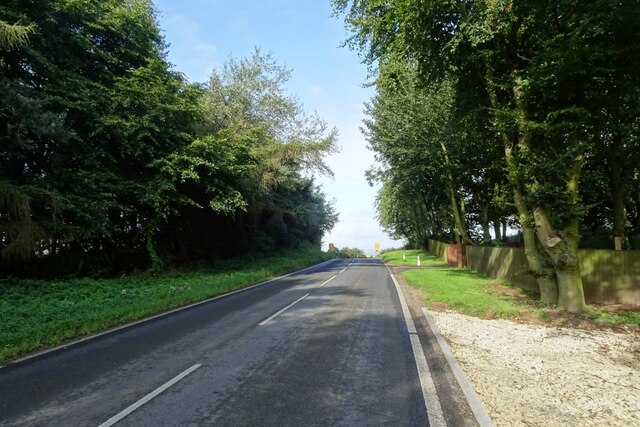
Walking trails wind their way through the plantation, offering visitors the opportunity to immerse themselves in the peaceful ambiance and discover hidden gems along the way. The well-maintained paths cater to all levels of fitness and provide access to stunning viewpoints, where visitors can take in panoramic views of the surrounding countryside.
Spell Howe Plantation is also home to a plethora of wildlife, making it a popular spot for birdwatching and animal spotting. Lucky visitors may catch a glimpse of deer, badgers, or foxes, as well as a variety of bird species, including woodpeckers, owls, and various songbirds.
Overall, Spell Howe Plantation is a natural treasure that showcases the beauty of Yorkshire's woodlands. Its serene atmosphere, diverse ecosystem, and captivating scenery make it a must-visit destination for nature lovers and those seeking an escape from the hustle and bustle of everyday life.
If you have any feedback on the listing, please let us know in the comments section below.
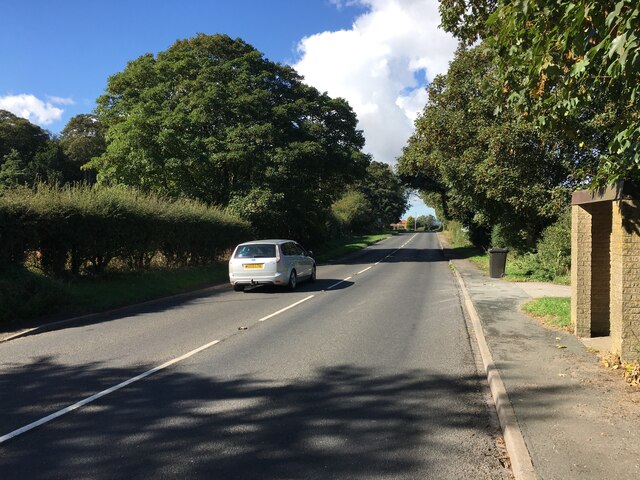
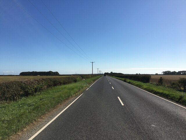
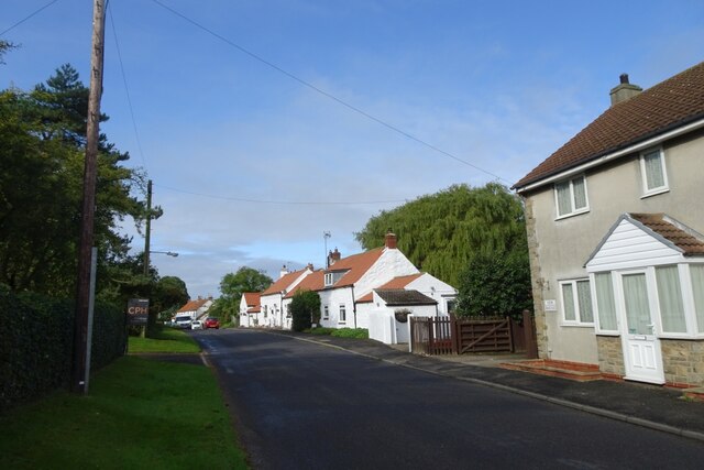
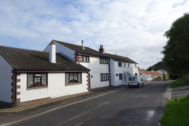
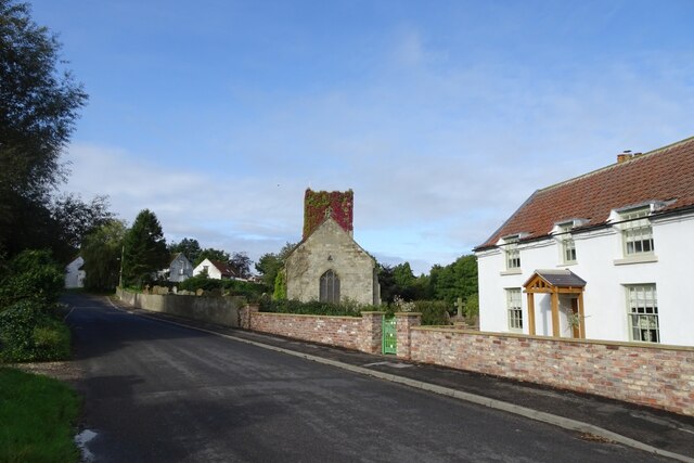
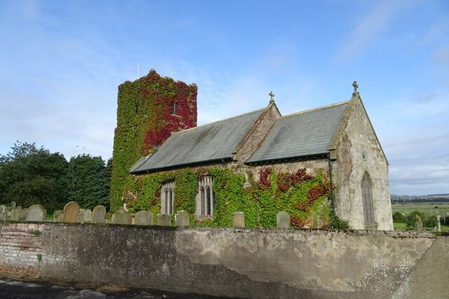
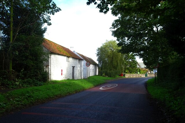
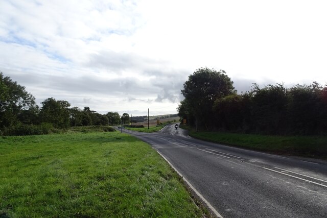
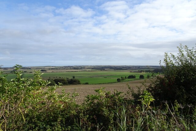
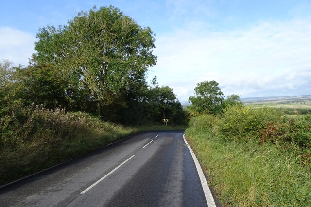
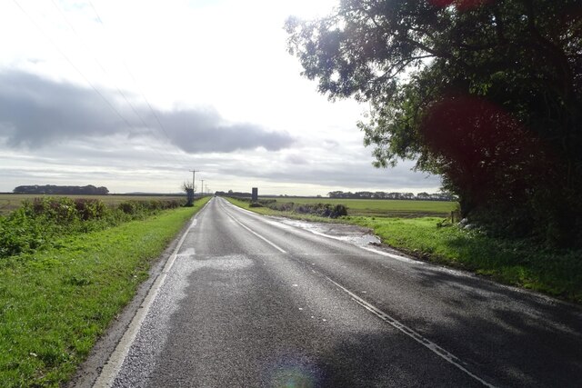
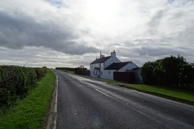
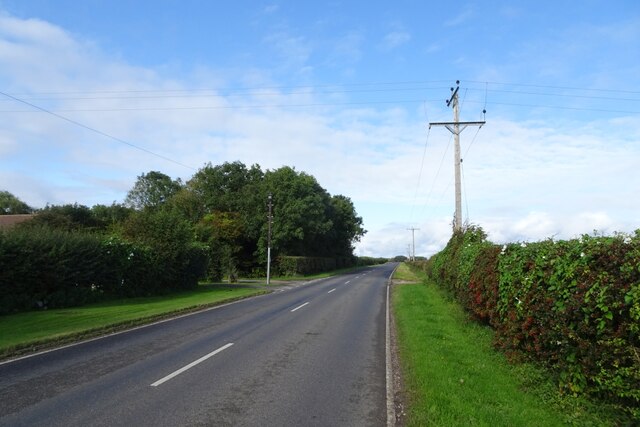
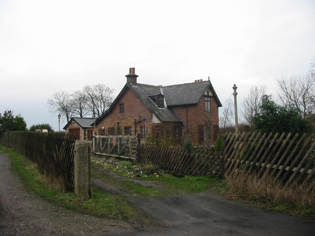
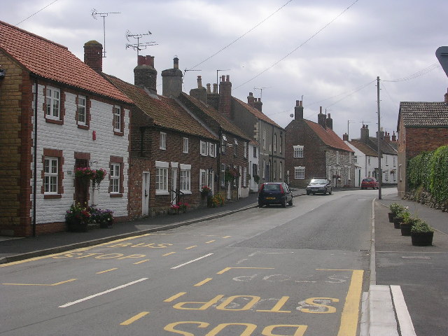
Spell Howe Plantation Images
Images are sourced within 2km of 54.195791/-0.37056918 or Grid Reference TA0679. Thanks to Geograph Open Source API. All images are credited.
Spell Howe Plantation is located at Grid Ref: TA0679 (Lat: 54.195791, Lng: -0.37056918)
Division: East Riding
Administrative County: North Yorkshire
District: Scarborough
Police Authority: North Yorkshire
What 3 Words
///shady.screening.rudder. Near Hunmanby, North Yorkshire
Nearby Locations
Related Wikis

Folkton
Folkton is a small village and civil parish at the foot of the Yorkshire Wolds and on the edge of the Vale of Pickering on an area known as Folkton Carr...

Flixton, North Yorkshire
Flixton is a village in North Yorkshire, England. Until 1974 the village lay in the historic county boundaries of the East Riding of Yorkshire and from...
Gristhorpe railway station
Gristhorpe railway station was a minor railway station on the Yorkshire Coast Line from Scarborough to Hull, serving the villages of Gristhorpe and Lebberston...
Muston, North Yorkshire
Muston is a village and civil parish, in North Yorkshire, England. It was historically in the East Riding of Yorkshire. The village is situated 1.5 miles...

Cayton railway station
Cayton railway station was a minor railway station serving the village of Cayton on the Yorkshire Coast Line from Scarborough to Hull and was opened on...

Sherburn Rural District
Sherburn was a rural district in the East Riding of Yorkshire from 1894 to 1935. It was formed under the Local Government Act 1894 from that part of the...
Gristhorpe
Gristhorpe is a village and civil parish in the Scarborough district of North Yorkshire, England. According to the 2011 UK census, Gristhorpe parish had...

Hunmanby
Hunmanby is a large village and civil parish in North Yorkshire, England. It was part of the East Riding of Yorkshire until 1974. From 1974 to 2023 it...
Nearby Amenities
Located within 500m of 54.195791,-0.37056918Have you been to Spell Howe Plantation?
Leave your review of Spell Howe Plantation below (or comments, questions and feedback).