Ash Holt
Wood, Forest in Lincolnshire West Lindsey
England
Ash Holt

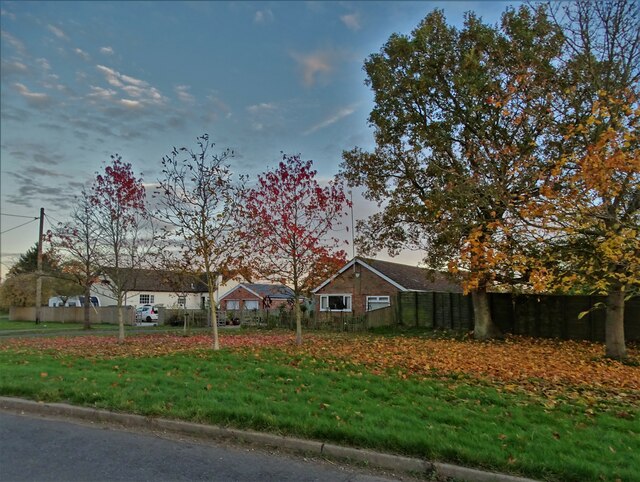
Ash Holt is a small village located in the county of Lincolnshire, England. Situated within the district of North Kesteven, the village primarily consists of residential properties and is surrounded by lush woodlands and forests, hence its name.
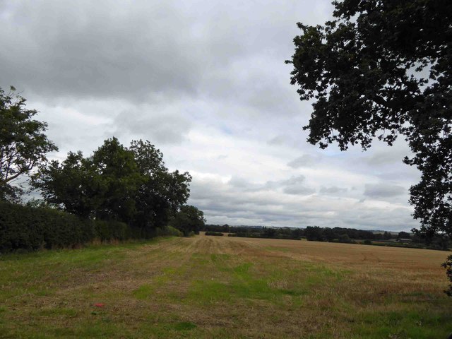
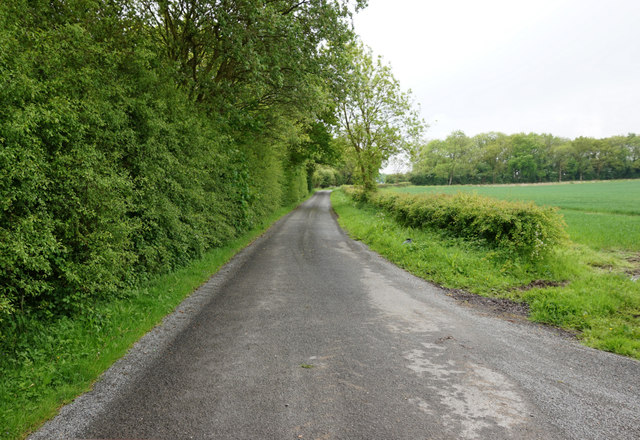
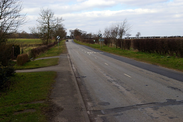
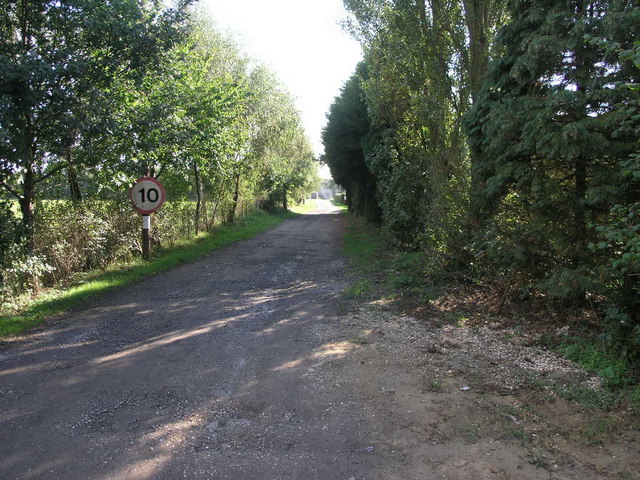
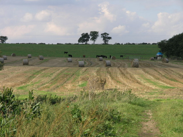
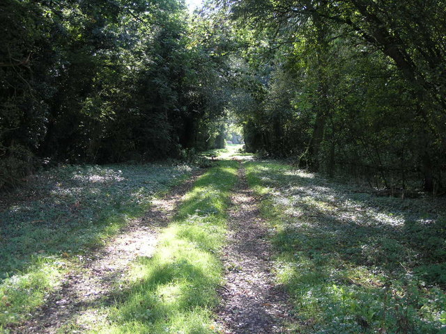
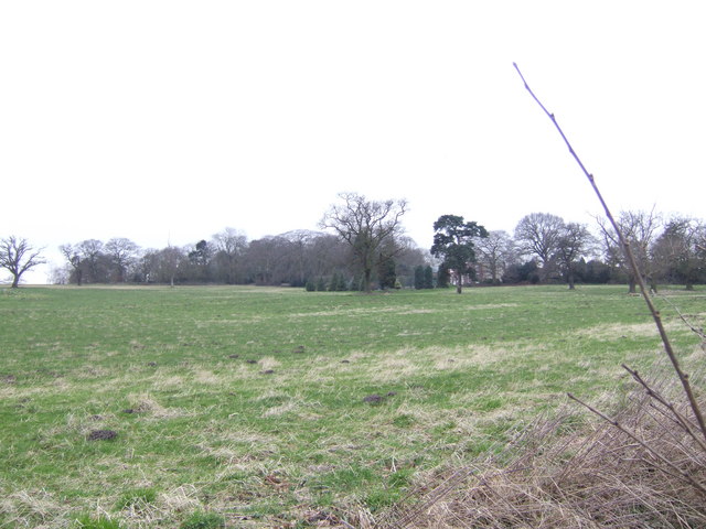
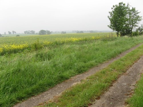
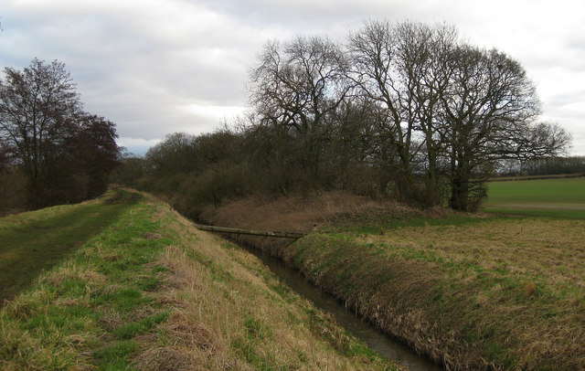
The village of Ash Holt is known for its picturesque and tranquil setting. The surrounding woodlands provide a serene atmosphere, making it an ideal location for nature lovers and outdoor enthusiasts. The area is rich in biodiversity, with a variety of flora and fauna inhabiting the woodlands. Visitors can enjoy peaceful walks, birdwatching, and exploring the natural beauty of the area.
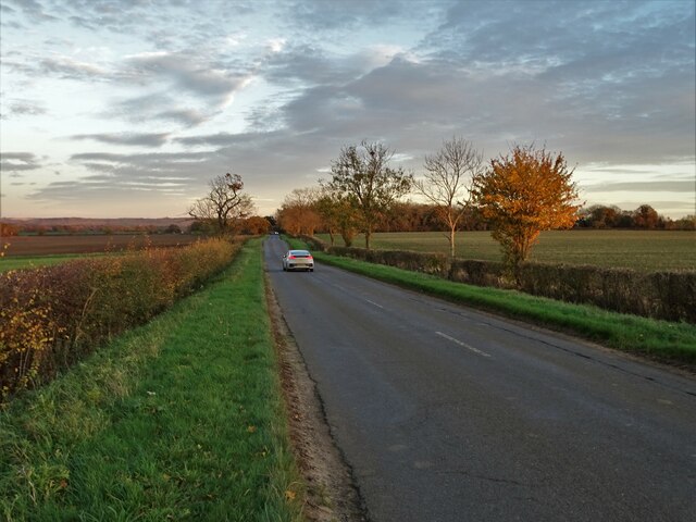
Despite its rural charm, Ash Holt is conveniently located within close proximity to nearby towns and cities. The village is approximately 7 miles north of the city of Lincoln, offering residents easy access to a range of amenities and services. Additionally, the village benefits from good transportation links, with major roads and highways nearby, enabling residents to easily travel to surrounding areas.
In terms of facilities, Ash Holt has limited amenities within the village itself. However, nearby towns provide a wide range of services including shops, schools, healthcare facilities, and recreational activities. This allows residents of Ash Holt to enjoy a peaceful countryside lifestyle while still having access to essential amenities.
Overall, Ash Holt is a charming village nestled within the woodlands of Lincolnshire. Its idyllic setting, combined with its convenient location, makes it an appealing place to reside for those seeking a peaceful countryside lifestyle.
If you have any feedback on the listing, please let us know in the comments section below.
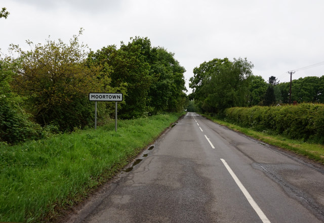
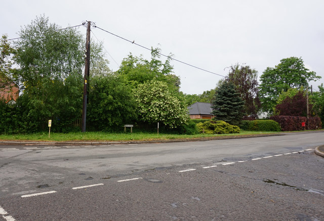
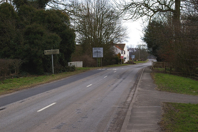
Ash Holt Images
Images are sourced within 2km of 53.480146/-0.39816389 or Grid Reference TF0699. Thanks to Geograph Open Source API. All images are credited.
Ash Holt is located at Grid Ref: TF0699 (Lat: 53.480146, Lng: -0.39816389)
Administrative County: Lincolnshire
District: West Lindsey
Police Authority: Lincolnshire
What 3 Words
///sideburns.shadow.snails. Near Caistor, Lincolnshire
Nearby Locations
Related Wikis

Moortown, Lincolnshire
Moortown is a hamlet in the civil parish of South Kelsey, and in the West Lindsey district of Lincolnshire, England. It is at the crossroads of the B1205...
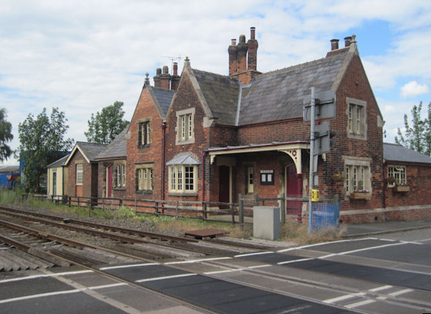
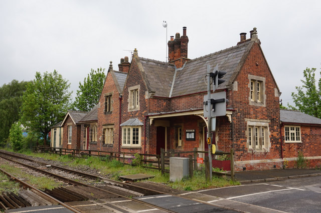
Moortown railway station
Moortown railway station was a railway station serving both the village of Moortown and town of Caistor in Lincolnshire, England on the line between Grimsby...

Moot Hall, Holton le Moor
The Moot Hall is a civic building in Market Rasen Road, Holton le Moor, Lincolnshire, England. The building, which continues to be used for civic meetings...

Holton le Moor
Holton le Moor is a small village and civil parish in the West Lindsey district of Lincolnshire, England. Holton le Moor lies on the B1434 road. The nearest...

South Kelsey
South Kelsey is a village and civil parish in the West Lindsey district of Lincolnshire, England. It is situated on the B1205, 5 miles (8.0 km) east from...

North Kelsey railway station
North Kelsey railway station was a railway station serving both the village of North Kelsey and town of Caistor in Lincolnshire, England, it was opened...

North Kelsey
North Kelsey is a village and civil parish in the West Lindsey district of Lincolnshire, England. The village is situated 4 miles (6 km) west from Caistor...

Thornton le Moor, Lincolnshire
Thornton le Moor is a village in the civil parish of Owersby, in the West Lindsey district of Lincolnshire, England, situated approximately 5 miles (8...
Nearby Amenities
Located within 500m of 53.480146,-0.39816389Have you been to Ash Holt?
Leave your review of Ash Holt below (or comments, questions and feedback).