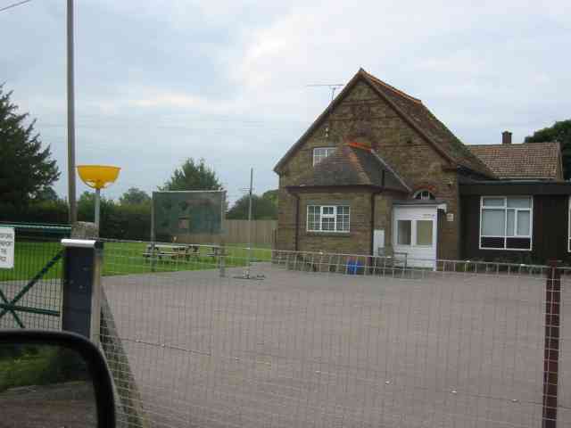
Grove Wood
Wood, Forest in Hertfordshire Dacorum
England
Grove Wood
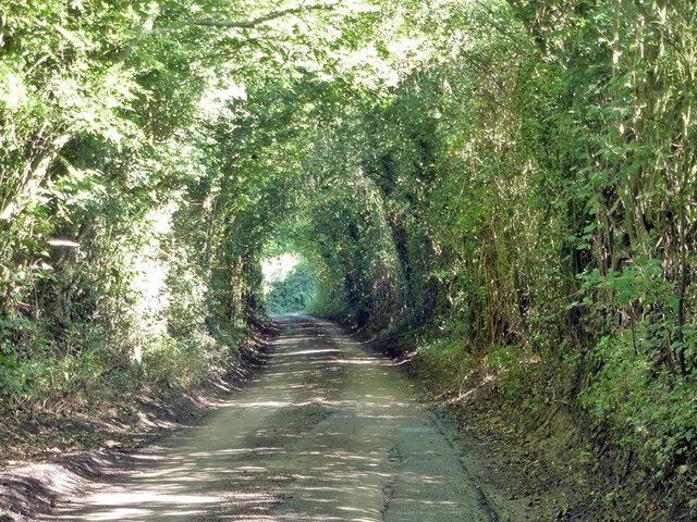
Grove Wood, located in Hertfordshire, is a picturesque forest that covers an area of approximately X square kilometers. This ancient woodland is known for its stunning natural beauty and diverse ecosystem. The wood is primarily composed of deciduous trees, including oak, beech, and ash, creating a vibrant and colorful canopy during the autumn months.
Grove Wood is home to a wide variety of flora and fauna, making it a popular destination for nature enthusiasts and wildlife lovers. The forest floor is carpeted with a rich assortment of wildflowers, providing a haven for insects and small mammals. Birdwatchers can delight in the presence of numerous species, including woodpeckers, owls, and songbirds that inhabit the dense foliage.
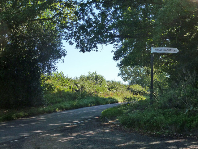
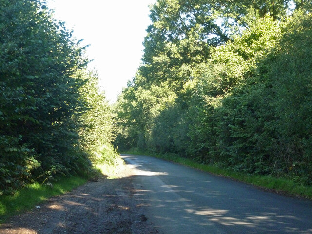
The wood is crisscrossed by a network of well-maintained footpaths and trails, allowing visitors to explore its beauty on foot. These pathways lead visitors through enchanting glades, past bubbling streams, and alongside peaceful ponds, offering tranquil spots for relaxation and reflection.
Grove Wood has a long history, with evidence of human habitation dating back centuries. Archaeological discoveries, such as ancient tools and pottery, have been found in the area, providing insights into the lives of those who once called this forest home.
In addition to its natural wonders, Grove Wood also serves as an important educational resource. The forest is frequently used as an outdoor classroom for schools and organizations, providing opportunities for hands-on learning about the local environment and ecology.
Overall, Grove Wood in Hertfordshire offers a serene and captivating experience, where visitors can immerse themselves in the beauty of nature and discover the rich history of this ancient woodland.
If you have any feedback on the listing, please let us know in the comments section below.
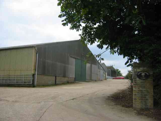
Grove Wood Images
Images are sourced within 2km of 51.806727/-0.46479256 or Grid Reference TL0513. Thanks to Geograph Open Source API. All images are credited.


Grove Wood is located at Grid Ref: TL0513 (Lat: 51.806727, Lng: -0.46479256)
Administrative County: Hertfordshire
District: Dacorum
Police Authority: Hertfordshire
What 3 Words
///voice.thrashing.tower. Near Markyate, Hertfordshire
Nearby Locations
Related Wikis

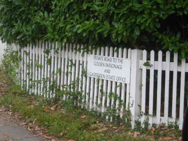
Golden Parsonage
The Golden Parsonage is a Grade II* listed country house in Great Gaddesden, Hertfordshire, and is part of the Gaddesden Estate. The house remains in the...

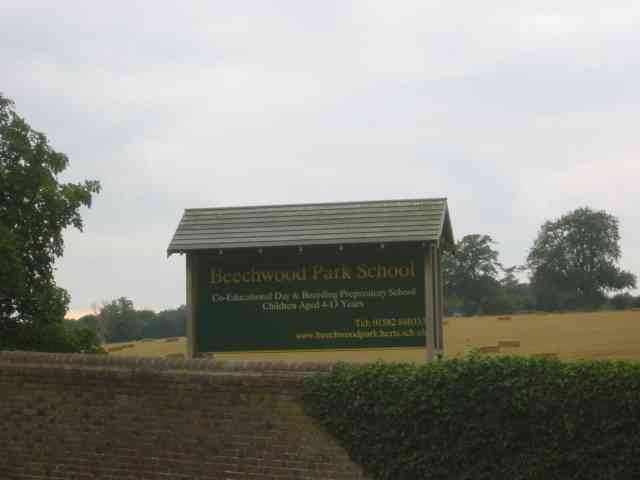
Beechwood Park (mansion)
Beechwood Park was a mansion, near Markyate, Hertfordshire, England. It now houses Beechwood Park School. == History == Ralph de Tony held this site, in...

The Hoo, Great Gaddesden
The Hoo is a Grade II* listed country house in Great Gaddesden, Hertfordshire, England. It dates from around 1683. In 1944 it was in use as a maternity...

Flamstead
Flamstead is a village and civil parish in north-west Hertfordshire, England, close to the junction of the A5 and the M1 motorway at junction 9. The name...

Ballingdon Bottom
Ballingdon Bottom is a valley in Hertfordshire, England. It forms part of the boundary between the civil parishes of Flamstead and Great Gaddesden....
Cheverells
Cheverells is a Grade II* listed dower house to the Beechwood Park estate in Hertfordshire, England. It dates from around 1693. == References ==
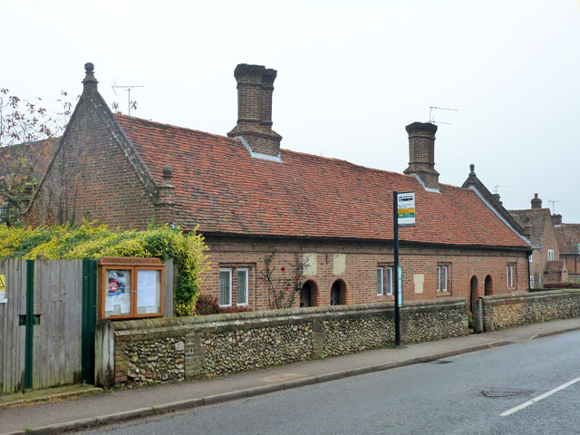
Saunders Almshouses
The Saunders Almshouses are Grade II* listed almshouses in Flamstead, Hertfordshire, England. They date from 1669 and were built for Thomas Saunders of...

Gaddesden Place
Gaddesden Place, near Hemel Hempstead in Hertfordshire, England, was designed by architect James Wyatt and built between 1768 and 1773, and was the home...
Nearby Amenities
Located within 500m of 51.806727,-0.46479256Have you been to Grove Wood?
Leave your review of Grove Wood below (or comments, questions and feedback).