Newland's Wood
Wood, Forest in Hertfordshire Dacorum
England
Newland's Wood
Newland's Wood is a picturesque woodland located in Hertfordshire, England. Covering an area of approximately 100 acres, it is a popular destination for nature enthusiasts and outdoor enthusiasts alike. The wood is situated near the town of Hertford and is easily accessible by road.
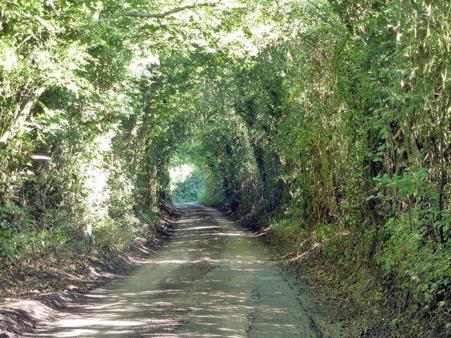
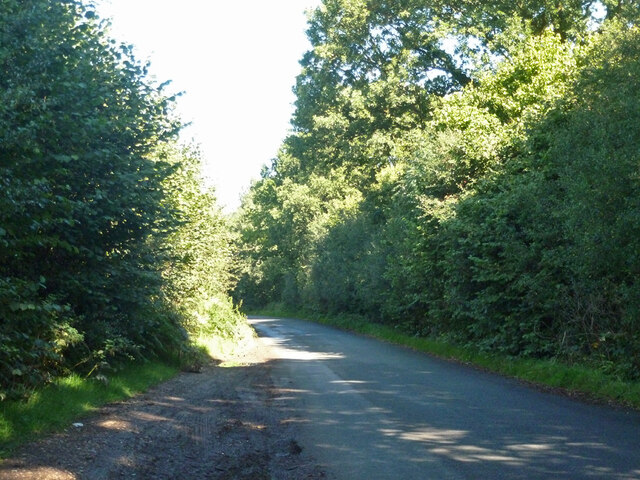
The wood is characterized by its diverse range of tree species, including oak, beech, birch, and chestnut trees. These towering trees create a dense canopy, providing shade and shelter for a variety of wildlife. The forest floor is covered in a lush carpet of ferns, wildflowers, and moss, adding to the enchanting atmosphere of the wood.
Newland's Wood is crisscrossed with well-maintained footpaths, allowing visitors to explore the area and admire its natural beauty. These paths lead to several scenic spots, including a tranquil pond and a small stream that meanders through the wood. Birdwatchers will also be delighted by the abundance of birdlife, with species such as woodpeckers, owls, and warblers frequently spotted in the area.
The wood is managed by local authorities, ensuring that it remains a protected and well-preserved environment. Visitors are encouraged to follow designated trails and respect the wildlife and vegetation. The wood also offers educational programs and guided tours to promote awareness and understanding of the local ecosystem.
Overall, Newland's Wood in Hertfordshire offers a serene escape from the hustle and bustle of daily life. Its natural beauty, diverse flora, and fauna make it a must-visit destination for anyone seeking a peaceful and immersive woodland experience.
If you have any feedback on the listing, please let us know in the comments section below.
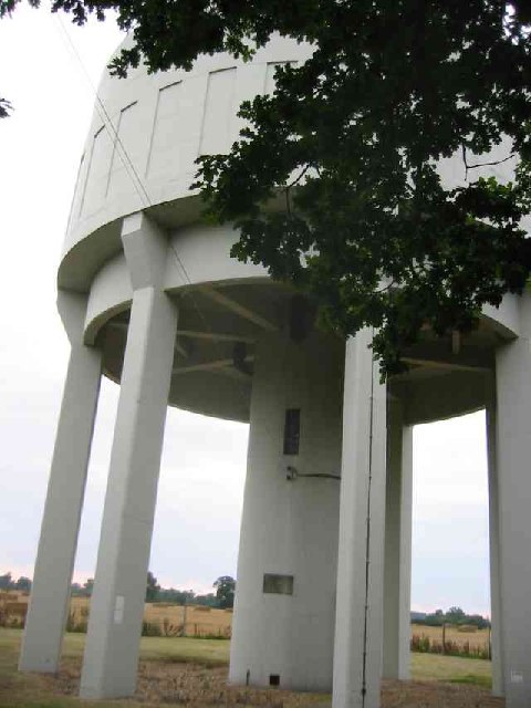
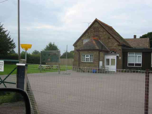
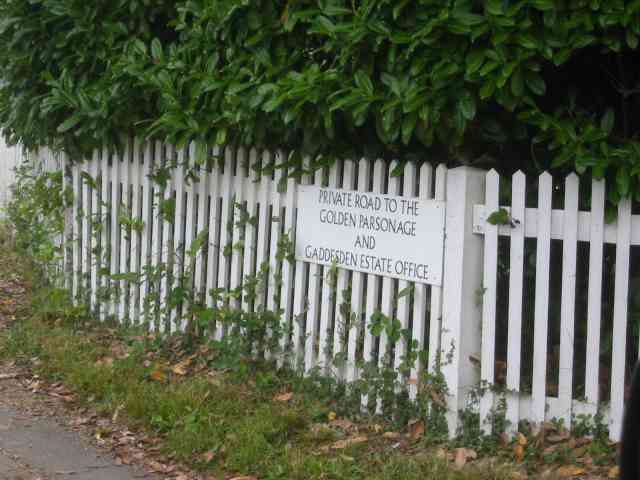
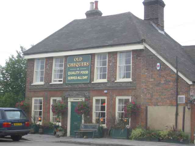
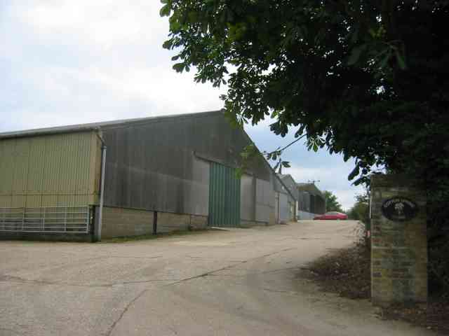
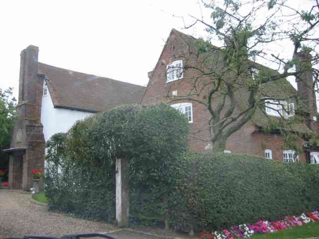
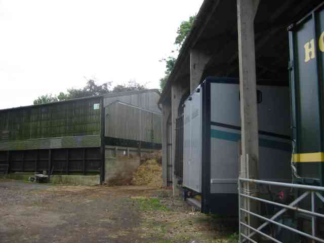
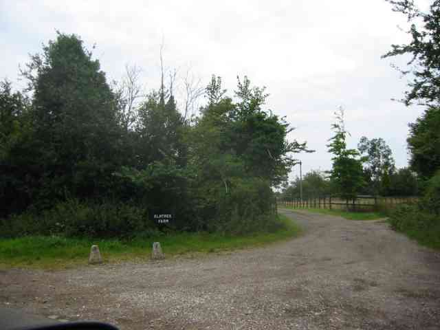
Newland's Wood Images
Images are sourced within 2km of 51.810969/-0.47430962 or Grid Reference TL0513. Thanks to Geograph Open Source API. All images are credited.
Newland's Wood is located at Grid Ref: TL0513 (Lat: 51.810969, Lng: -0.47430962)
Administrative County: Hertfordshire
District: Dacorum
Police Authority: Hertfordshire
What 3 Words
///submerge.circus.perplexed. Near Markyate, Hertfordshire
Nearby Locations
Related Wikis

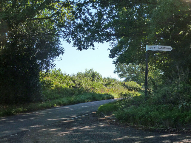
Golden Parsonage
The Golden Parsonage is a Grade II* listed country house in Great Gaddesden, Hertfordshire, and is part of the Gaddesden Estate. The house remains in the...

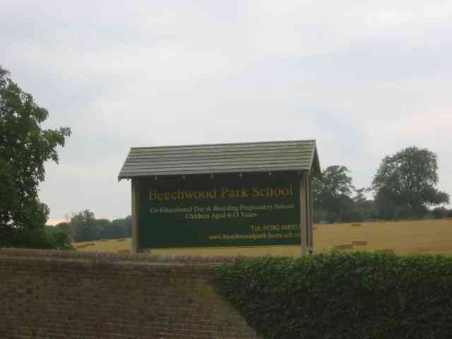
Beechwood Park (mansion)
Beechwood Park was a mansion, near Markyate, Hertfordshire, England. It now houses Beechwood Park School. == History == Ralph de Tony held this site,...

Ballingdon Bottom
Ballingdon Bottom is a valley in Hertfordshire, England. It forms part of the boundary between the civil parishes of Flamstead and Great Gaddesden....

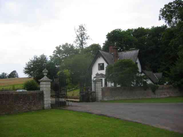
The Hoo, Great Gaddesden
The Hoo is a Grade II* listed country house in Great Gaddesden, Hertfordshire, England. It dates from around 1683. In 1944 it was in use as a maternity...
Nearby Amenities
Located within 500m of 51.810969,-0.47430962Have you been to Newland's Wood?
Leave your review of Newland's Wood below (or comments, questions and feedback).