Brauncewell Plantation

Wood, Forest in Lincolnshire North Kesteven

England

Brauncewell Plantation

Junction of Moor Lane and Sleaford Road Sleaford Road is the B1188.
Junction of Moor Lane and Sleaford Road Credit: Julian P Guffogg

The requested URL returned error: 429 Too Many Requests

If you have any feedback on the listing, please let us know in the comments section below.

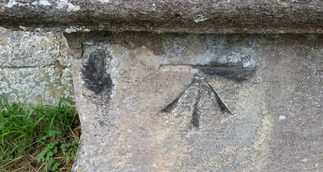
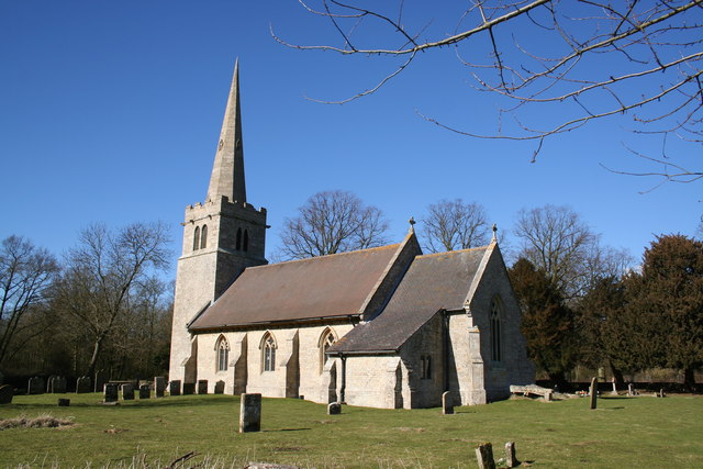
Brauncewell Plantation Images

Images are sourced within 2km of 53.060632/-0.42120076 or Grid Reference TF0552. Thanks to Geograph Open Source API. All images are credited.

Junction of Moor Lane and Sleaford Road Sleaford Road is the B1188.
Junction of Moor Lane and Sleaford Road
Sleaford Road is the B1188.
Ordnance Survey Cut Mark This OS cut mark can be found on the west face of St James & St John's Church. It marks a point 28.295m above mean sea level.
Ordnance Survey Cut Mark
This OS cut mark can be found on the west face of St James & St John's Church. It marks a point 28.295m above mean sea level.
Crop marks in a field near Dorrington (1)
Crop marks in a field near Dorrington: aerial (2)
Crop marks in a field near Dorrington: aerial 2018 (3)
Cut field near Roxholme Grange The field has had a crop of barley which has been cut green for forage.
Cut field near Roxholme Grange
The field has had a crop of barley which has been cut green for forage.
Hazy landscape near Roxholme Warm and very humid. Thunderstorms forecast later.
Hazy landscape near Roxholme
Warm and very humid. Thunderstorms forecast later.
St.Mary's church, Bloxholm, Lincs. A medieval core with 3-bay arcades of c1300 and Gothic restoration of 1812
St.Mary's church, Bloxholm, Lincs.
A medieval core with 3-bay arcades of c1300 and Gothic restoration of 1812
Pour y Parvenir The Manners family crest is a peacock, the motto 'pour y parvenir' means "to attain", seen here above the south door to St.Mary's church Bloxholm. General Manners bought nearby Bloxholm Hall and refurbished the church in 1812, there are peacocks all around the estate.
Pour y Parvenir
The Manners family crest is a peacock, the motto 'pour y parvenir' means "to attain", seen here above the south door to St.Mary's church Bloxholm. General Manners bought nearby Bloxholm Hall and refurbished the church in 1812, there are peacocks all around the estate.
Aconites in The Laurels A carpet of winter aconites in The Laurels, part of Four Acre Plantation on the Bloxholm estate.
Aconites in The Laurels
A carpet of winter aconites in The Laurels, part of Four Acre Plantation on the Bloxholm estate.
All Saints' church, Brauncewell, Lincs. The Domesday survey in 1086 says there was a church at Brauncewell, perhaps on this site, in the surrounding fields are the mounds & hollows of the site of the deserted medieval village of Brauncewell. This church has later medieval origins, of which only the font remains, the rest is mostly early 19th century. It was declared redundant in 1973 and is now in the capable care of the Lincolnshire Old Churches Trust.
All Saints' church, Brauncewell, Lincs.
The Domesday survey in 1086 says there was a church at Brauncewell, perhaps on this site, in the surrounding fields are the mounds & hollows of the site of the deserted medieval village of Brauncewell. This church has later medieval origins, of which only the font remains, the rest is mostly early 19th century. It was declared redundant in 1973 and is now in the capable care of the Lincolnshire Old Churches Trust.
All Saints' church, Brauncewell
St.James & St.John's church, Dorrington, Lincs. Chronologically - a bold Transitional tower, 13th century arcades and chancel, some Decorated windows and bell openings and Perpendicular clerestorey. The church stands north of the village on a rise with views all round.
St.James & St.John's church, Dorrington, Lincs.
Chronologically - a bold Transitional tower, 13th century arcades and chancel, some Decorated windows and bell openings and Perpendicular clerestorey. The church stands north of the village on a rise with views all round.
Disused water tower This disused water tower built in 1910 is on a hill by the church, it once served the village of Dorrington
Disused water tower
This disused water tower built in 1910 is on a hill by the church, it once served the village of Dorrington
Dale Farm Dale Farm stands at the top of a shallow valley which is very likely where it gets its name from.
Dale Farm
Dale Farm stands at the top of a shallow valley which is very likely where it gets its name from.
Cottage Farm Cottage Farm is one of the few things in this square that isn't a field.
Cottage Farm
Cottage Farm is one of the few things in this square that isn't a field.
Red Field The soil in this recently ploughed field has a strong red tone to it.
Red Field
The soil in this recently ploughed field has a strong red tone to it.
Disappearing Fields The road level on the left demonstrates how much the field level on the right has fallen.
Disappearing Fields
The road level on the left demonstrates how much the field level on the right has fallen.
Show me another place!

Brauncewell Plantation is located at Grid Ref: TF0552 (Lat: 53.060632, Lng: -0.42120076)

Administrative County: Lincolnshire

District: North Kesteven

Police Authority: Lincolnshire

What 3 Words

///plan.described.tweeted. Near Ruskington, Lincolnshire

Nearby Locations

Brauncewell Plantation

Related Wikis

Bloxholm

Bloxholm is a hamlet, and part of the civil parish of Ashby de la Launde and Bloxholm, in the North Kesteven district of Lincolnshire, England. It is situated...

Ashby de la Launde and Bloxholm

Ashby de la Launde and Bloxholm is a civil parish in the North Kesteven district of Lincolnshire, England. According to the 2001 Census it had a population...

Dorrington, Lincolnshire

Dorrington is a village and civil parish in the North Kesteven district of Lincolnshire, England. It is situated 1.2 miles (2 km) both south from Digby...

Ashby de la Launde

Ashby de la Launde is a small village, part of the civil parish of Ashby de la Launde and Bloxholm, in the North Kesteven district of Lincolnshire, England...

Nearby Amenities

Located within 500m of 53.060632,-0.42120076
Ele: 17.1892090
Lat/Long: 53.0619551/-0.4156314
Ele: 15.0262451
Lat/Long: 53.061993/-0.4216427
Ele: 14.0649414
Lat/Long: 53.0619305/-0.4218209
Ele: 14.5455322
Lat/Long: 53.0619994/-0.4226216
Ele: 15.5069580
Lat/Long: 53.0626304/-0.4247926
Ele: 15.5069580
Lat/Long: 53.0626298/-0.4248478
Barrier: stile
Ele: 15.9875488
Steps: 2
Stile: stepover
Lat/Long: 53.0624939/-0.4243486
Ele: 17.1892090
Lat/Long: 53.0616942/-0.4249128
Ele: 15.2666016
Lat/Long: 53.0616574/-0.4257268
Hill Farm
Place: farm
Source: Bing
Lat/Long: 53.0643478/-0.4241375
Power: pole
Lat/Long: 53.0637698/-0.4255606
Power: pole
Lat/Long: 53.0620304/-0.4248236
Power: pole
Lat/Long: 53.0629977/-0.4253085
Power: pole
Lat/Long: 53.0592025/-0.4238413
Power: pole
Lat/Long: 53.0599552/-0.4240076
Power: pole
Lat/Long: 53.0607362/-0.4241833
Power: pole
Lat/Long: 53.0613818/-0.4244985
The data included in this document is from www.openstreetmap.org. The data is made available under ODbL.

Have you been to Brauncewell Plantation?

Leave your review of Brauncewell Plantation below (or comments, questions and feedback).