Long Wood
Wood, Forest in Lincolnshire North Kesteven
England
Long Wood
The requested URL returned error: 429 Too Many Requests
If you have any feedback on the listing, please let us know in the comments section below.
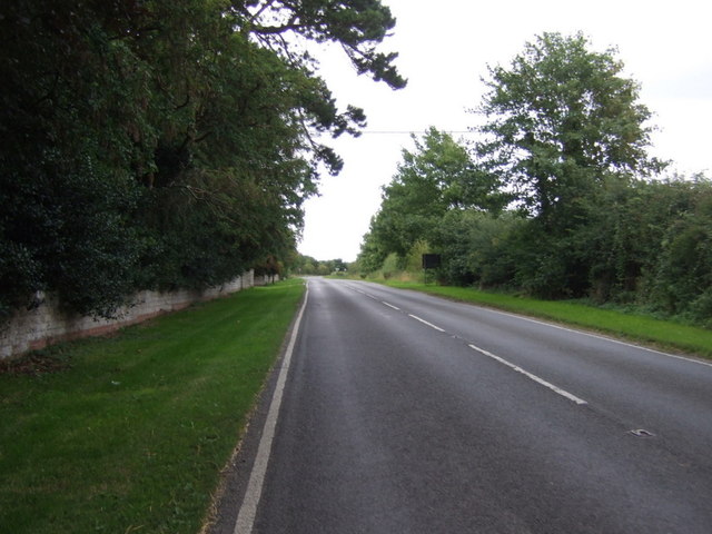
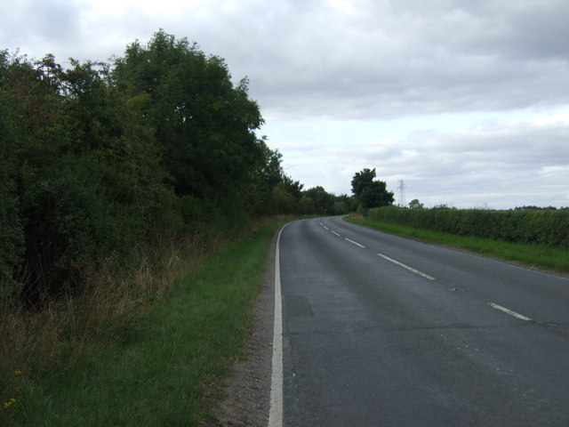
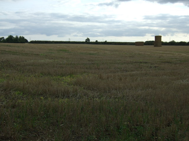
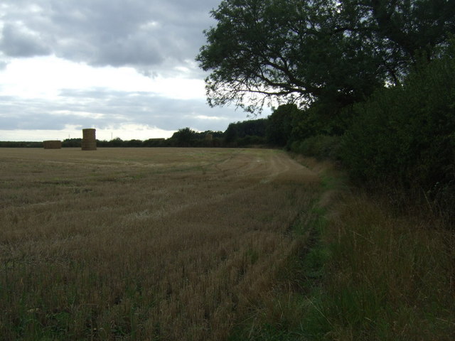
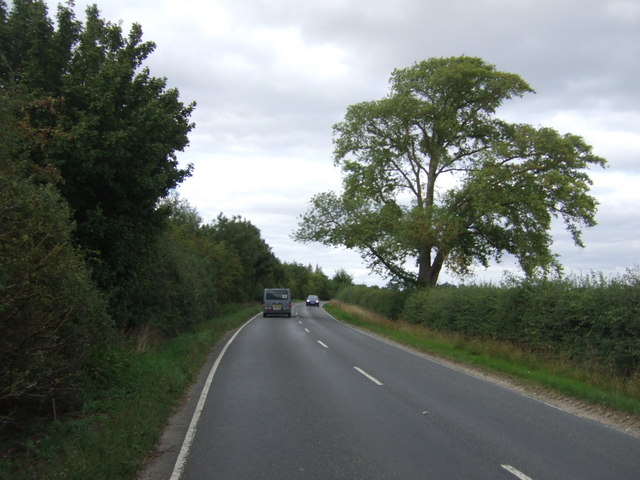
Long Wood Images
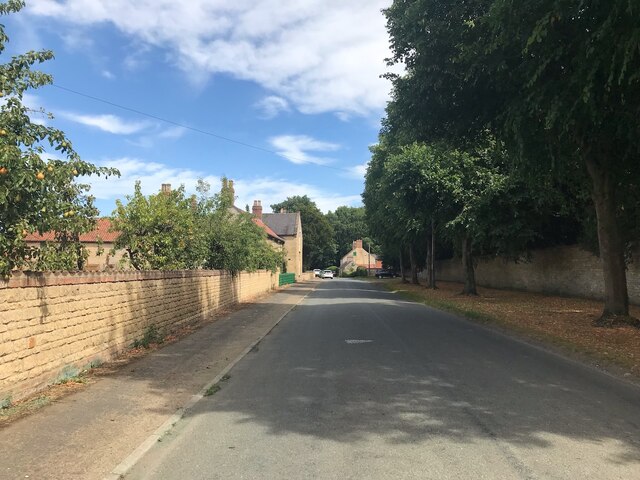
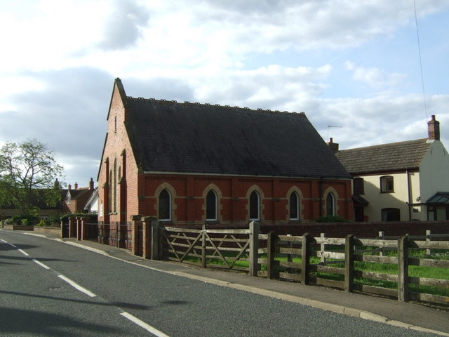
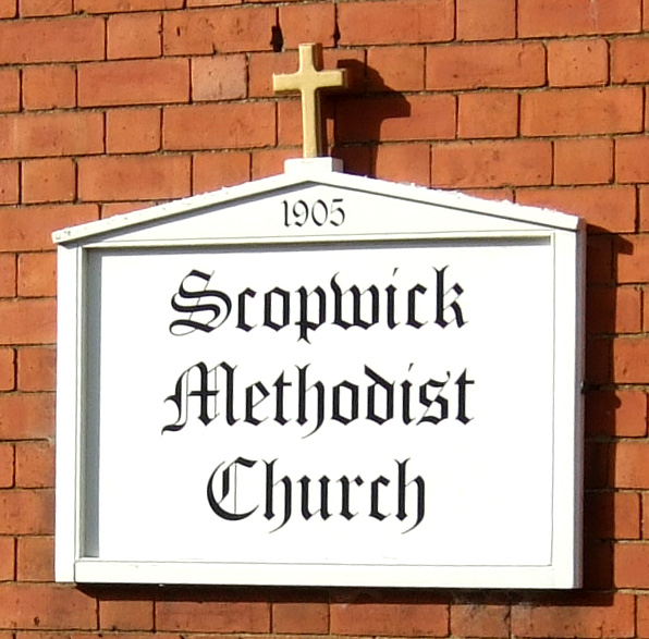
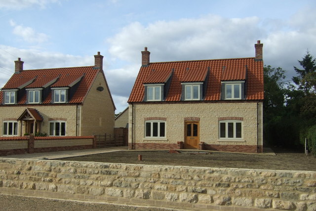
Images are sourced within 2km of 53.120045/-0.41905454 or Grid Reference TF0559. Thanks to Geograph Open Source API. All images are credited.


Long Wood is located at Grid Ref: TF0559 (Lat: 53.120045, Lng: -0.41905454)
Administrative County: Lincolnshire
District: North Kesteven
Police Authority: Lincolnshire
What 3 Words
///defended.craftsmen.attracts. Near Metheringham, Lincolnshire
Nearby Locations
Related Wikis
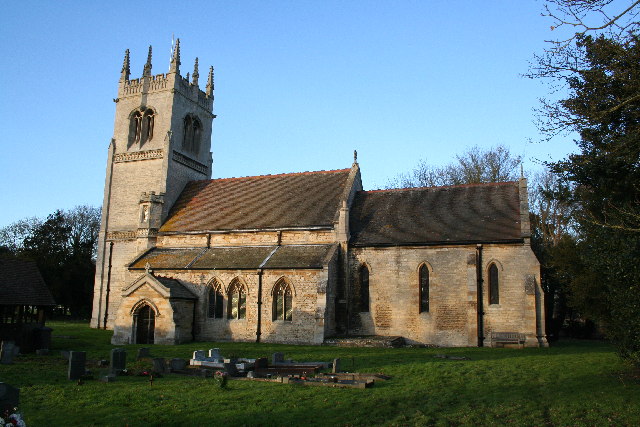
Blankney
Blankney is a village and civil parish in the North Kesteven district of Lincolnshire, England. The population of the civil parish at the 2011 census was...

Scopwick
Scopwick is a small village and civil parish in the district of North Kesteven, Lincolnshire, England, situated 6 miles (9.7 km) south from Lincoln. The...
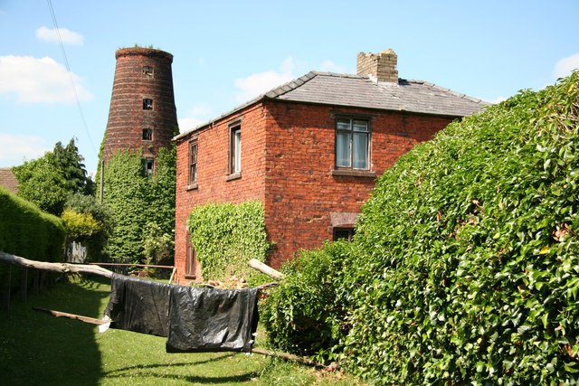
Metheringham Windmill
Metheringham Windmill, locally known as The Old Meg Flour Mill, was a six-storeyed, six-sailed, and tarred slender Lincolnshire type windmill with the...

Metheringham
Metheringham is a village and civil parish in the North Kesteven district of Lincolnshire, England. The population of the civil parish at the 2011 census...
Nearby Amenities
Located within 500m of 53.120045,-0.41905454Have you been to Long Wood?
Leave your review of Long Wood below (or comments, questions and feedback).