Great Muttons Copse
Wood, Forest in Surrey Waverley
England
Great Muttons Copse
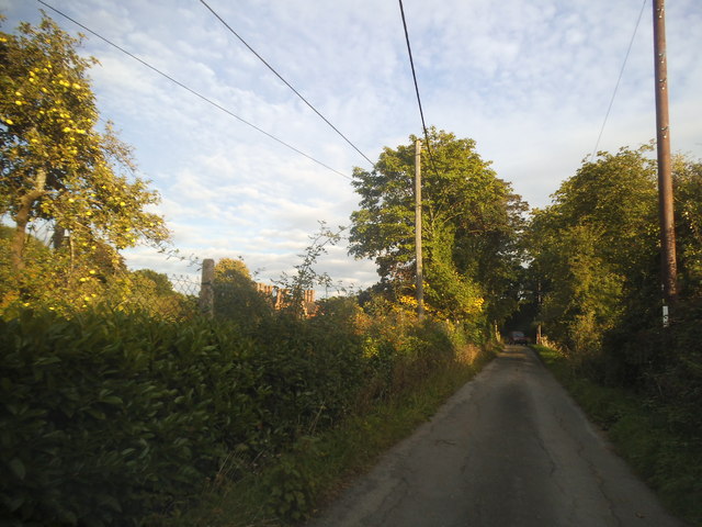
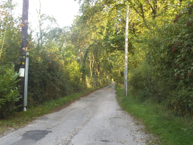
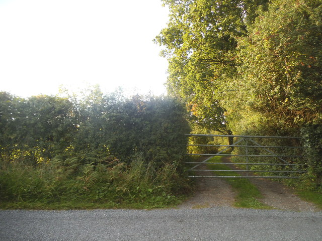
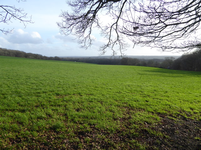
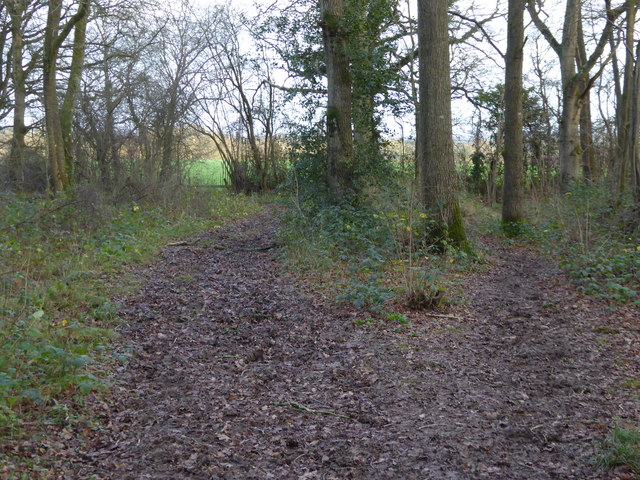
Great Muttons Copse is a picturesque woodland located in Surrey, England. Covering an area of approximately 100 acres, this ancient forest is known for its diverse flora and fauna, making it a popular destination for nature enthusiasts and hikers alike.
The copse is predominantly composed of mature oak trees, interspersed with patches of beech, birch, and hazel trees. The dense canopy formed by these towering trees creates a serene and tranquil atmosphere, providing a perfect escape from the bustling city life. The forest floor is carpeted with a rich variety of wildflowers, including bluebells, primroses, and wood anemones, which bloom in vibrant colors during the spring season.
Great Muttons Copse is also home to a wide range of wildlife species. Birdwatchers can spot various species of birds, such as woodpeckers, nuthatches, and tawny owls, while lucky visitors may even catch a glimpse of roe deer or foxes roaming through the undergrowth. The copse is also a habitat for numerous insects, including butterflies and beetles, adding to the overall biodiversity of the area.
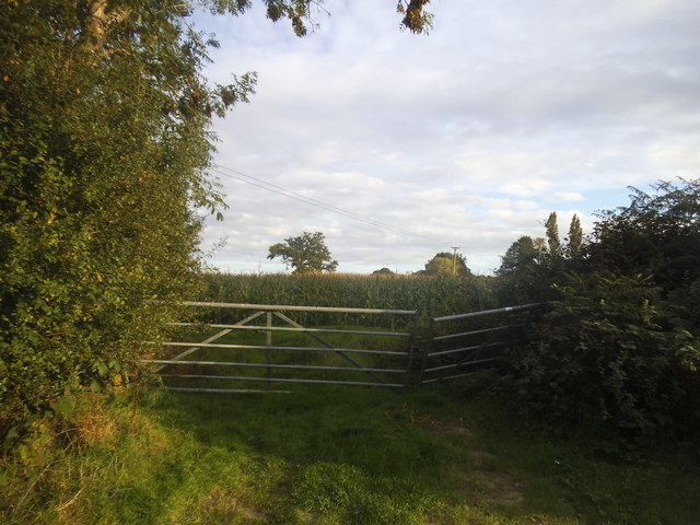
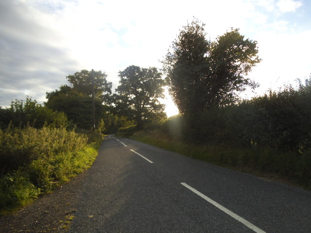
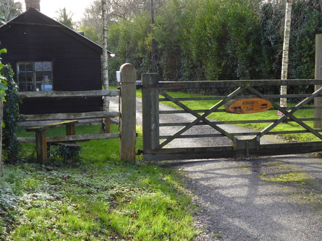
The woodland is crisscrossed by a network of footpaths and trails, allowing visitors to explore the copse at their own pace. These well-maintained paths lead to hidden glades, babbling brooks, and secluded ponds, providing ample opportunities for peaceful picnics or quiet reflection. The copse is managed by a local conservation group, ensuring the preservation of its natural beauty and safeguarding its ecological importance.
Overall, Great Muttons Copse offers a serene and enchanting experience, where visitors can immerse themselves in the beauty of nature and appreciate the wonders of the Surrey countryside.
If you have any feedback on the listing, please let us know in the comments section below.
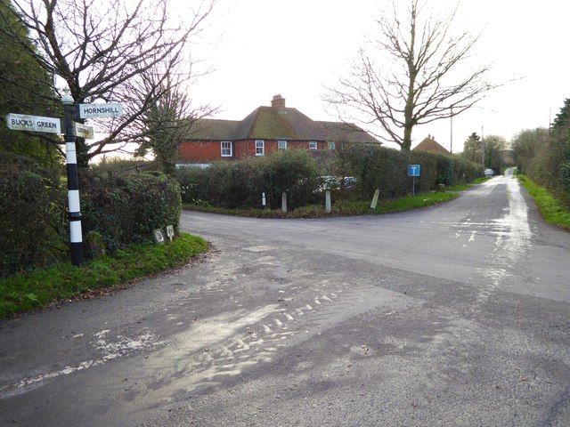
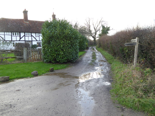
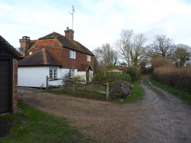
Great Muttons Copse Images
Images are sourced within 2km of 51.096637/-0.49046893 or Grid Reference TQ0534. Thanks to Geograph Open Source API. All images are credited.


Great Muttons Copse is located at Grid Ref: TQ0534 (Lat: 51.096637, Lng: -0.49046893)
Administrative County: Surrey
District: Waverley
Police Authority: Surrey
What 3 Words
///converged.peachy.inspector. Near Rudgwick, West Sussex
Nearby Locations
Related Wikis

Rikkyo School in England
Rikkyo School in England (立教英国学院, Rikkyō Eikoku Gakuin) is a Japanese boarding primary and secondary school in Rudgwick, Horsham District, West Sussex...

Alfold
Alfold is a village and civil parish in Surrey, England on the West Sussex border. Alfold is a dispersed or polyfocal village in the Green Belt, which...

Tisman's Common
Tisman's Common is a hamlet in the Horsham District of West Sussex, England. It stands in the parish of Rudgwick, on the Rudgwick to Loxwood road, 6.4...

Baynards railway station
Baynards was a railway station on the Cranleigh Line, between Guildford, Surrey, and Horsham, West Sussex, England. The station opened with the line on...

Alfold F.C.
Alfold Football Club is a football club based in Alfold, Surrey, England. They are currently members of the Southern Combination Division One and play...
Rudgwick railway station
Rudgwick railway station was on the Cranleigh Line. It served the village of Rudgwick in West Sussex until June, 1965. == History == Rudgwick station opened...

Wey and Arun Canal
The Wey and Arun Canal is a partially open, 23-mile-long (37 km) canal in the southeast of England. It runs southwards from the River Wey at Gunsmouth...

London to Portsmouth canal
The London to Portsmouth canal was a concept for the construction of a secure inland canal route from the British capital of London to the headquarters...
Nearby Amenities
Located within 500m of 51.096637,-0.49046893Have you been to Great Muttons Copse?
Leave your review of Great Muttons Copse below (or comments, questions and feedback).