Highfield Copse
Wood, Forest in Surrey Waverley
England
Highfield Copse
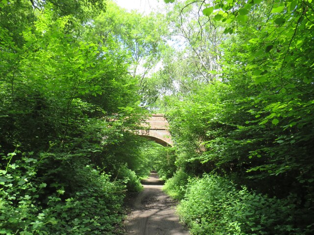
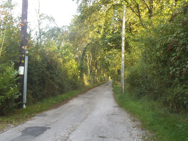
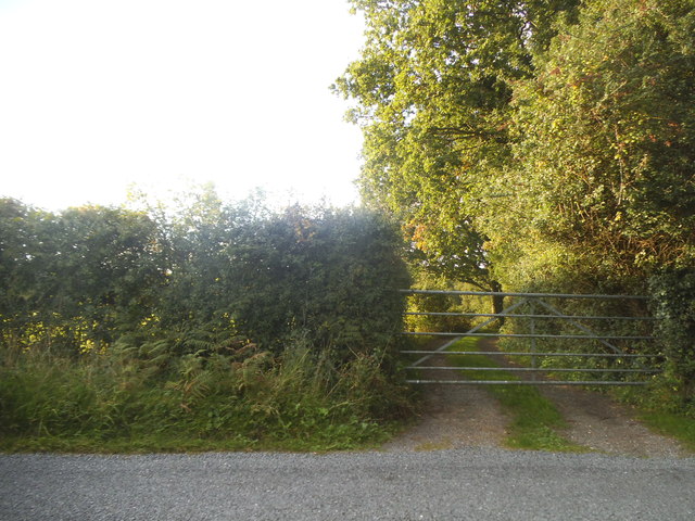
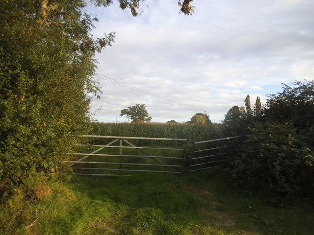
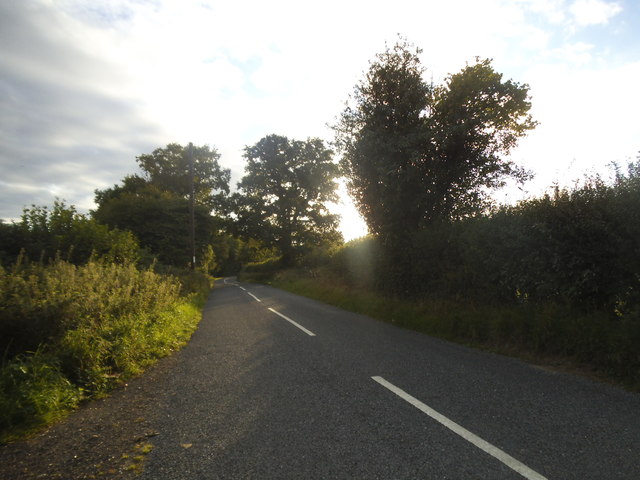
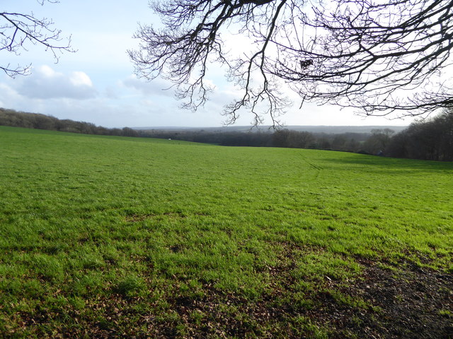
Highfield Copse is a picturesque woodland located in Surrey, England. Covering an area of approximately 50 acres, it is a popular destination for nature lovers and outdoor enthusiasts. The copse is situated on rolling hills, providing visitors with breathtaking views of the surrounding countryside.
One of the defining features of Highfield Copse is its diverse range of tree species. The woodland is home to a variety of native trees, including oak, beech, and birch. These majestic trees create a dense canopy, providing shade and shelter for a wide array of wildlife.
The copse is also famous for its vibrant wildlife. Birdwatchers flock to Highfield Copse to catch a glimpse of rare species such as the woodpecker and the tawny owl. Additionally, the woodland is home to a diverse range of mammals, including foxes, badgers, and deer.
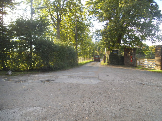
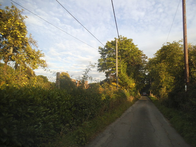
A network of well-maintained footpaths and trails winds through Highfield Copse, making it an ideal location for hiking and walking. The trails offer visitors the opportunity to explore the copse at their own pace, immersing themselves in the tranquility of nature.
Highfield Copse is not only a haven for wildlife but also a place of historical significance. The woodland has a rich cultural heritage, with evidence of human activity dating back centuries. Archaeological finds, such as ancient pottery fragments, have been discovered within the copse, providing insight into the lives of past inhabitants.
Overall, Highfield Copse is a beautiful and diverse woodland, offering visitors a chance to connect with nature and explore the rich history of the area. Whether it's for a leisurely walk, wildlife spotting, or a peaceful retreat, this Surrey gem has something to offer everyone.
If you have any feedback on the listing, please let us know in the comments section below.
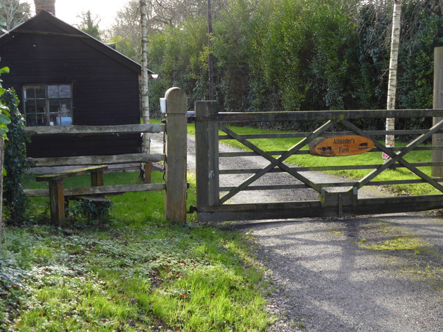
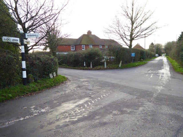
Highfield Copse Images
Images are sourced within 2km of 51.099551/-0.49117385 or Grid Reference TQ0534. Thanks to Geograph Open Source API. All images are credited.


Highfield Copse is located at Grid Ref: TQ0534 (Lat: 51.099551, Lng: -0.49117385)
Administrative County: Surrey
District: Waverley
Police Authority: Surrey
What 3 Words
///flamenco.rifled.uncle. Near Rudgwick, West Sussex
Nearby Locations
Related Wikis

Rikkyo School in England
Rikkyo School in England (立教英国学院, Rikkyō Eikoku Gakuin) is a Japanese boarding primary and secondary school in Rudgwick, Horsham District, West Sussex...

Alfold
Alfold is a village and civil parish in Surrey, England on the West Sussex border. Alfold is a dispersed or polyfocal village in the Green Belt, which...

Alfold F.C.
Alfold Football Club is a football club based in Alfold, Surrey, England. They are currently members of the Southern Combination Division One and play...

Baynards railway station
Baynards was a railway station on the Cranleigh Line, between Guildford, Surrey, and Horsham, West Sussex, England. The station opened with the line on...

Tisman's Common
Tisman's Common is a hamlet in the Horsham District of West Sussex, England. It stands in the parish of Rudgwick, on the Rudgwick to Loxwood road, 6.4...

London to Portsmouth canal
The London to Portsmouth canal was a concept for the construction of a secure inland canal route from the British capital of London to the headquarters...

Wey and Arun Canal
The Wey and Arun Canal is a partially open, 23-mile-long (37 km) canal in the southeast of England. It runs southwards from the River Wey at Gunsmouth...
Rudgwick railway station
Rudgwick railway station was on the Cranleigh Line. It served the village of Rudgwick in West Sussex until June, 1965. == History == Rudgwick station opened...
Nearby Amenities
Located within 500m of 51.099551,-0.49117385Have you been to Highfield Copse?
Leave your review of Highfield Copse below (or comments, questions and feedback).