Old Wood
Wood, Forest in Surrey Woking
England
Old Wood
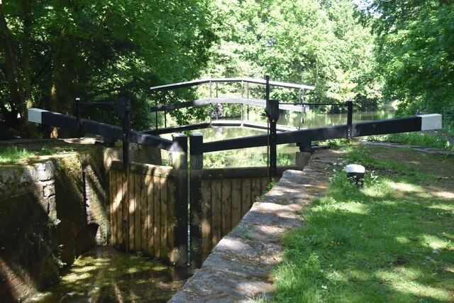
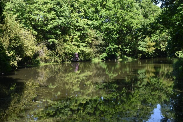
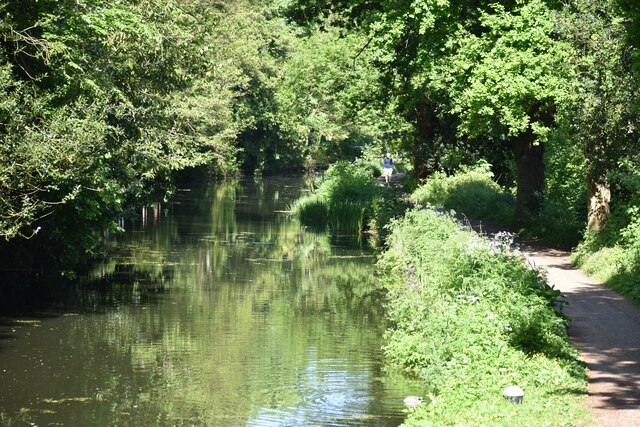
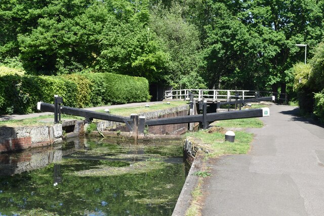
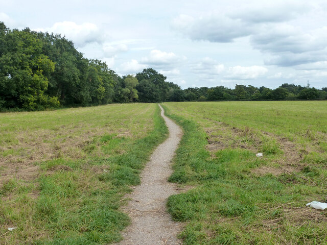
Old Wood, Surrey is a quaint and picturesque forest located in the county of Surrey, England. It is situated on the southern outskirts of the village of Wood and covers an area of approximately 100 acres. The forest is known for its ancient and majestic trees, which have stood tall for centuries, creating a serene and enchanting atmosphere.
The woodland is a mix of deciduous and coniferous trees, including oak, beech, pine, and fir, providing a diverse and vibrant ecosystem. The forest floor is covered in a thick carpet of moss, ferns, and wildflowers, adding to the natural beauty of the area. A network of winding footpaths and trails meander through the woods, allowing visitors to explore and immerse themselves in the peaceful surroundings.
Old Wood is home to a rich variety of wildlife, with numerous bird species, including woodpeckers, owls, and thrushes, making it a haven for birdwatchers. Squirrels, rabbits, and deer can also be spotted within the forest, adding to its charm. The tranquil ambiance and abundance of wildlife make Old Wood a popular destination for nature enthusiasts and photographers.
The forest is well-maintained, with regular conservation efforts to preserve its natural heritage. It is open to the public throughout the year, offering a peaceful retreat for visitors seeking a break from the hustle and bustle of everyday life. Whether it is a leisurely stroll, a picnic, or simply enjoying the beauty of nature, Old Wood, Surrey provides a perfect escape into the tranquility of the forest.
If you have any feedback on the listing, please let us know in the comments section below.
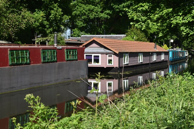
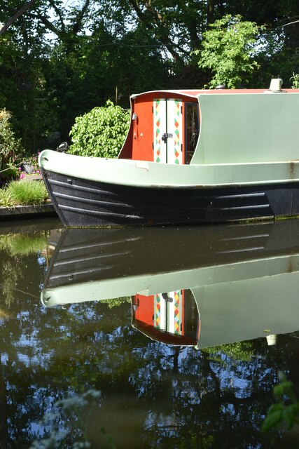
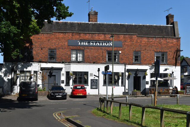
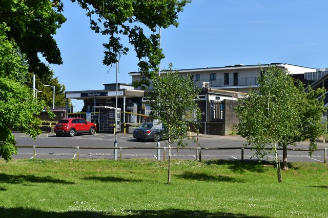
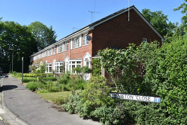
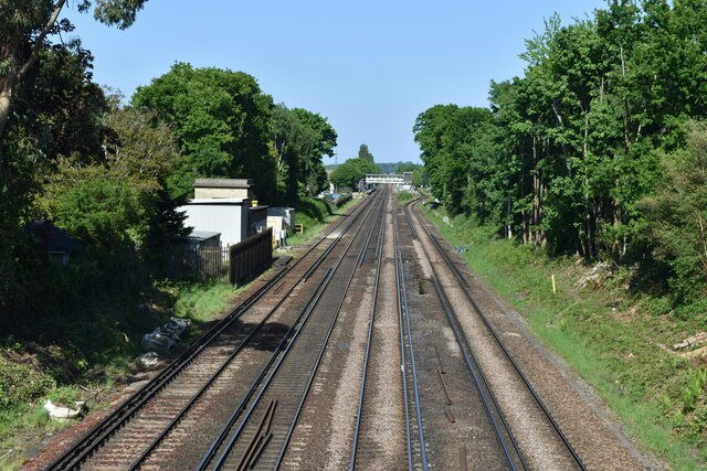
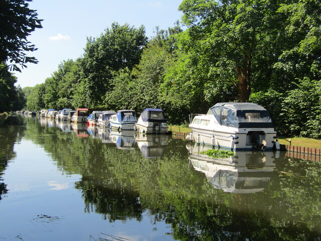
Old Wood Images
Images are sourced within 2km of 51.338367/-0.48775407 or Grid Reference TQ0561. Thanks to Geograph Open Source API. All images are credited.


Old Wood is located at Grid Ref: TQ0561 (Lat: 51.338367, Lng: -0.48775407)
Administrative County: Surrey
District: Woking
Police Authority: Surrey
What 3 Words
///army.moved.rope. Near West Byfleet, Surrey
Nearby Locations
Related Wikis

British Aerospace Company Ground
British Aerospace Company Ground was a cricket ground in Byfleet, Surrey. The ground was built as a works venue for the nearby Vickers-Armstrongs factory...
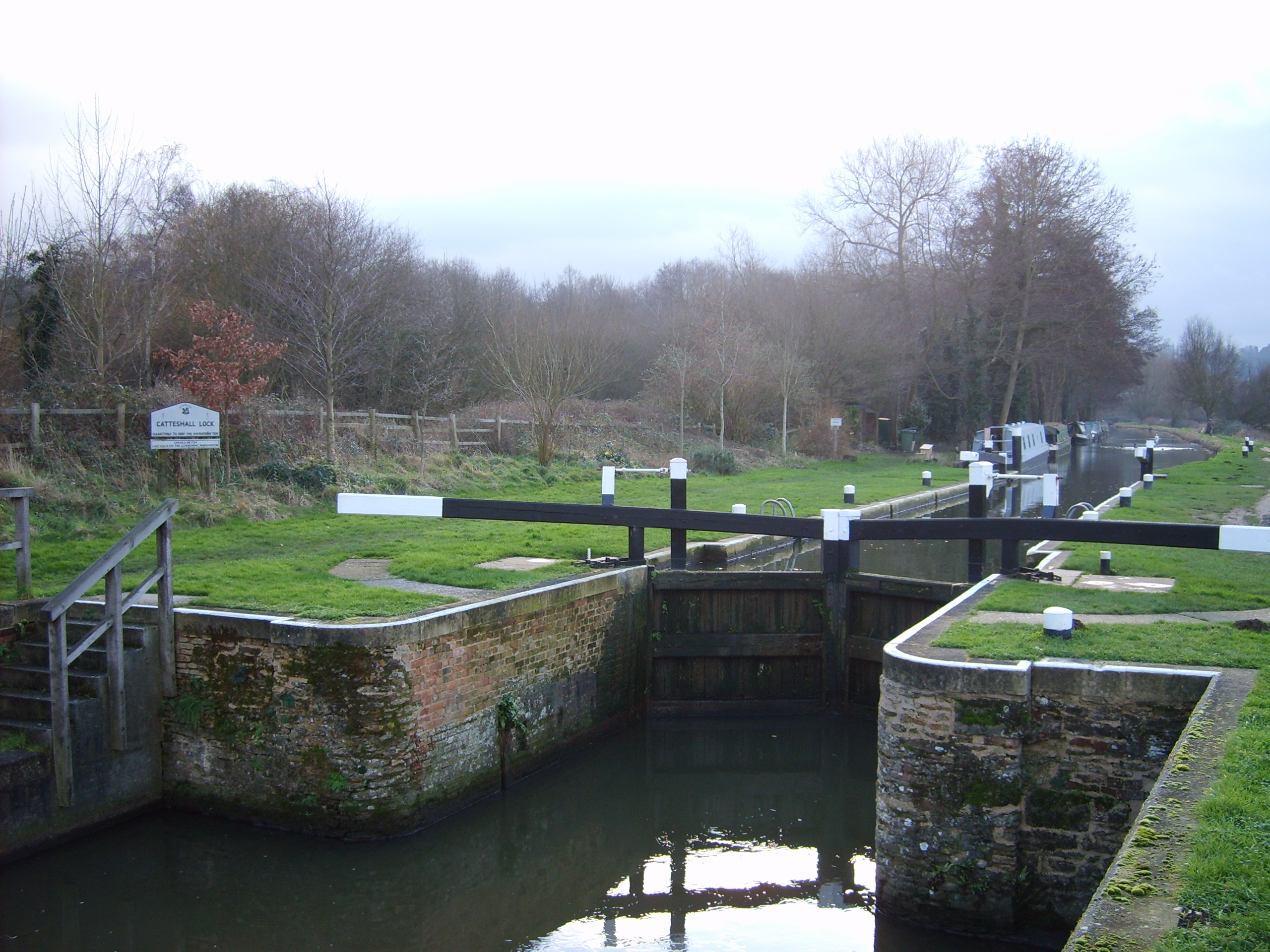
Wey and Godalming Navigations
The River Wey Navigation and Godalming Navigation together provide a 20-mile (32 km) continuous navigable route from the River Thames near Weybridge via...

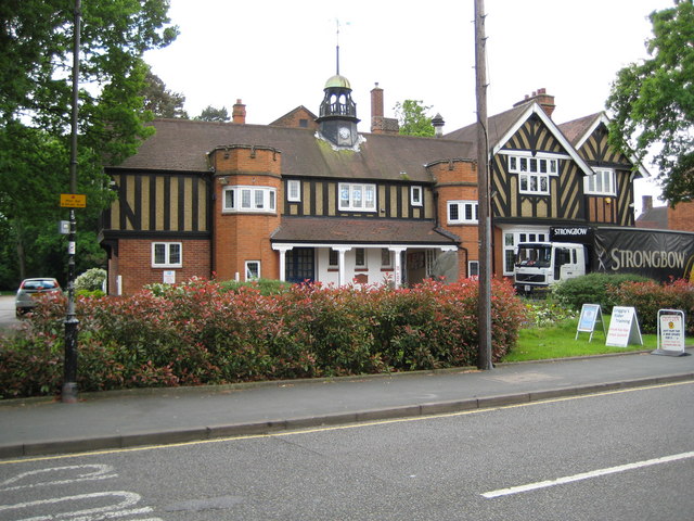
West Byfleet
West Byfleet is a village in Surrey which grew up around its relatively minor stop on the London & South Western Railway: the station, originally Byfleet...

West Byfleet railway station
West Byfleet railway station is a railway station serving the village of West Byfleet, which forms part of the borough of Woking in the English county...
Byfleet
Byfleet is a village in Surrey, England. It is located in the far east of the borough of Woking, around 1.5 miles (2.4 km) east of West Byfleet, from which...
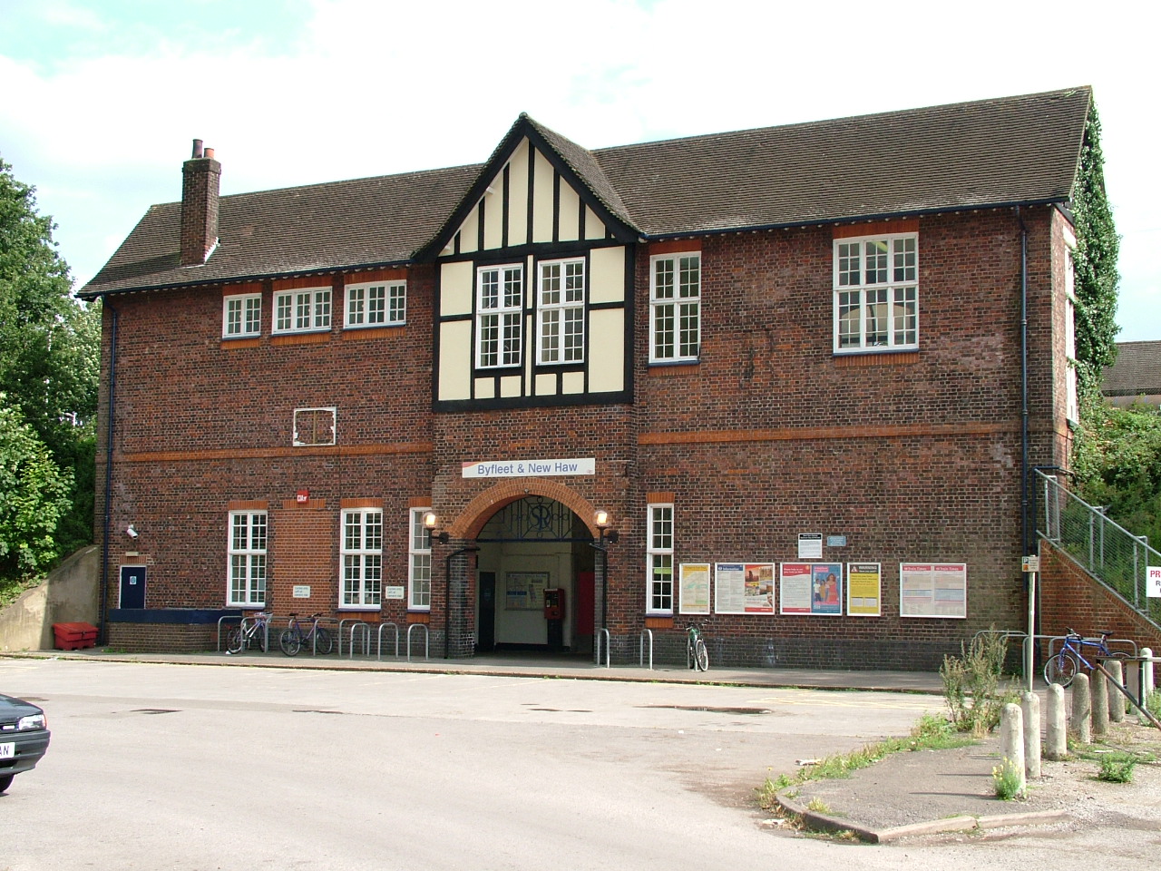
Byfleet & New Haw railway station
Byfleet & New Haw railway station is on the London to Woking line, operated by South Western Railway. The station is at the northern edge of Byfleet with...
Fullbrook School
Fullbrook School is a secondary school and sixth form in north west Surrey, England. The school has held Specialist Science, Technology, Mathematics and...

Brooklands
Brooklands was a 2.767-mile (4.453 km) motor racing circuit and aerodrome built near Weybridge in Surrey, England, United Kingdom. It opened in 1907 and...
Nearby Amenities
Located within 500m of 51.338367,-0.48775407Have you been to Old Wood?
Leave your review of Old Wood below (or comments, questions and feedback).