Nail Copse
Wood, Forest in Surrey Waverley
England
Nail Copse
Nail Copse is a picturesque woodland located in Surrey, England. Covering an area of approximately 50 acres, it is a popular destination for nature enthusiasts and hikers alike. The copse is situated near the village of Shere, known for its quaint charm and historic buildings.
The woodland is predominantly made up of native tree species such as oak, ash, and beech, creating a diverse and vibrant ecosystem. The dense canopy provides a sheltered habitat for a variety of wildlife, including birds, squirrels, and deer. It is not uncommon to spot a red fox or a badger while exploring the copse.
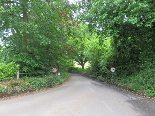
Nail Copse is crisscrossed with a network of well-maintained footpaths, making it an ideal location for walking and hiking. These trails offer breathtaking views of the surrounding countryside, with glimpses of the nearby Surrey Hills Area of Outstanding Natural Beauty.
In addition to its natural beauty, Nail Copse also holds historical significance. It is believed to have been used as a source of timber during the medieval period, contributing to the construction of local buildings and structures. Remnants of old saw pits can still be found scattered throughout the woodland, serving as a reminder of its past.
Overall, Nail Copse offers a tranquil and serene escape from the bustling city life, providing visitors with the opportunity to immerse themselves in nature and explore the rich history of the area.
If you have any feedback on the listing, please let us know in the comments section below.
Nail Copse Images
Images are sourced within 2km of 51.179887/-0.49712284 or Grid Reference TQ0543. Thanks to Geograph Open Source API. All images are credited.


Nail Copse is located at Grid Ref: TQ0543 (Lat: 51.179887, Lng: -0.49712284)
Administrative County: Surrey
District: Waverley
Police Authority: Surrey
What 3 Words
///beads.blessing.risks. Near Peaslake, Surrey
Nearby Locations
Related Wikis

Cucknell's Wood
Cucknell's Wood is a 11-hectare (27-acre) nature reserve south-east of Shamley Green in Surrey. It is managed by the Surrey Wildlife Trust.Birds in this...

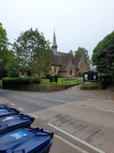
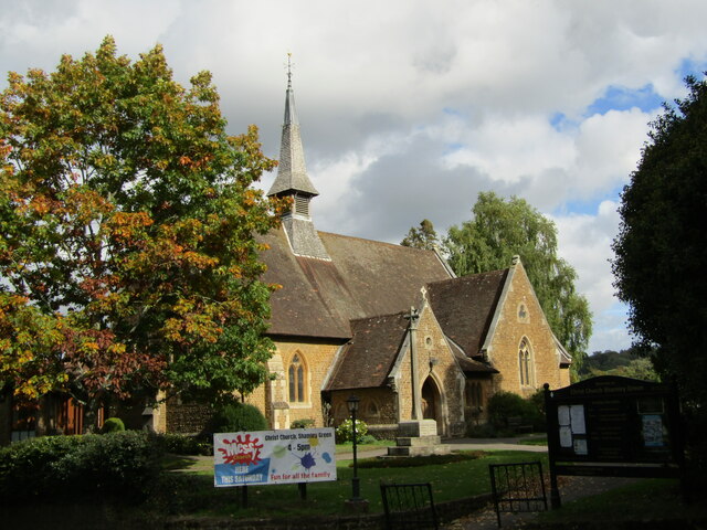
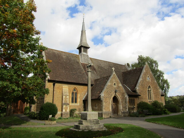
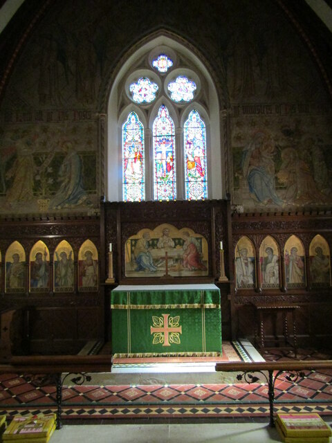
Christ Church, Shamley Green
Christ Church is a Church of England parish church in Shamley Green, Surrey, England. It was constructed in 1863 as a chapel of ease and became a parish...

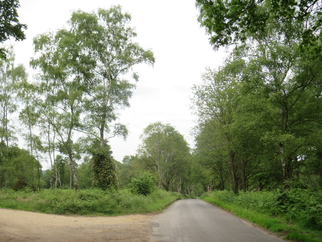
Winterfold Forest
Winterfold Forest is a wooded area of the broadest plateau of the western Greensand Ridge in Surrey, England. It blends seamlessly into the Hurt Wood...

Surrey Hills AONB
The Surrey Hills is a 422 km2 (163 sq mi) Area of Outstanding Natural Beauty (AONB) in Surrey, England, which principally covers parts of the North Downs...

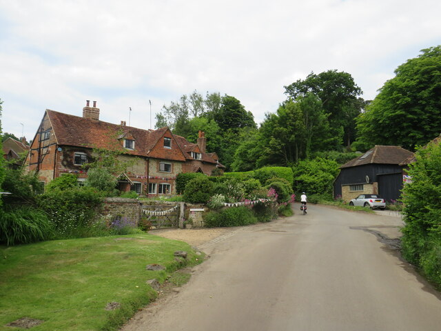
Farley Green, Surrey
Farley Green is a small hamlet of Albury in the Greensand Ridge where it forms the south of the Surrey Hills AONB, to the south east of Guildford. �...

Hurt Wood Mill, Ewhurst
Hurt Wood Mill is a grade II* listed tower mill at Ewhurst, Surrey, England, which has been converted to residential use. == History == Hurt Wood Mill...
Blackheath Common
Blackheath Common is an area of 250 acres (100 ha) of heathland in Surrey, England, near the village of Albury in the borough of Waverley. It is part of...

Blackheath SSSI, Surrey
Blackheath is a 141.6-hectare (350-acre) biological Site of Special Scientific Interest south-east of Guildford in Surrey.This area of dry lowland heath...
Nearby Amenities
Located within 500m of 51.179887,-0.49712284Have you been to Nail Copse?
Leave your review of Nail Copse below (or comments, questions and feedback).