Dean Copse
Wood, Forest in Surrey Waverley
England
Dean Copse
Dean Copse is a picturesque woodland located in Surrey, England. Situated near the village of Wood, it covers an area of approximately 100 acres and is known for its dense forest and tranquil atmosphere. The copse is a popular destination for nature enthusiasts, hikers, and birdwatchers.
The woodland is primarily composed of native deciduous trees such as oak, beech, and ash, creating a diverse and vibrant ecosystem. The forest floor is covered in a rich carpet of moss, ferns, and wildflowers, adding to the enchanting ambiance of the copse. The dense canopy provides shelter for various species of birds, including woodpeckers, owls, and warblers, making it a haven for birdwatching enthusiasts.
Several well-marked trails wind through the copse, offering visitors the opportunity to explore its natural beauty. The paths meander through the trees, leading to hidden clearings and babbling brooks. Along the way, there are benches and picnic areas where visitors can rest and enjoy the peaceful surroundings.
Due to its proximity to Wood, Dean Copse is a popular spot for locals and tourists alike. It offers a welcome escape from the hustle and bustle of daily life, providing a serene environment for relaxation and rejuvenation. Whether one is interested in a leisurely stroll, a vigorous hike, or simply a moment of solitude in nature, Dean Copse is an idyllic destination that never fails to impress.
If you have any feedback on the listing, please let us know in the comments section below.
Dean Copse Images
Images are sourced within 2km of 51.17833/-0.49916208 or Grid Reference TQ0543. Thanks to Geograph Open Source API. All images are credited.


Dean Copse is located at Grid Ref: TQ0543 (Lat: 51.17833, Lng: -0.49916208)
Administrative County: Surrey
District: Waverley
Police Authority: Surrey
What 3 Words
///ordeals.glance.rested. Near Peaslake, Surrey
Nearby Locations
Related Wikis

Cucknell's Wood
Cucknell's Wood is a 11-hectare (27-acre) nature reserve south-east of Shamley Green in Surrey. It is managed by the Surrey Wildlife Trust.Birds in this...

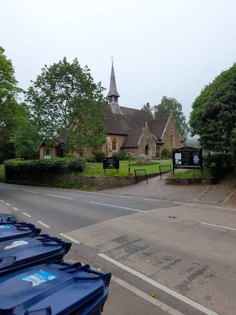
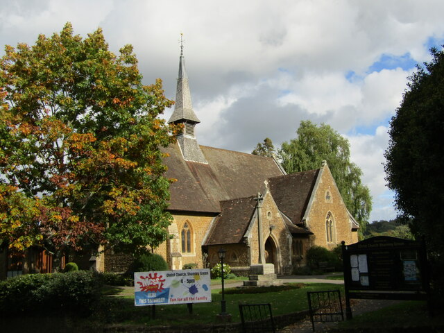
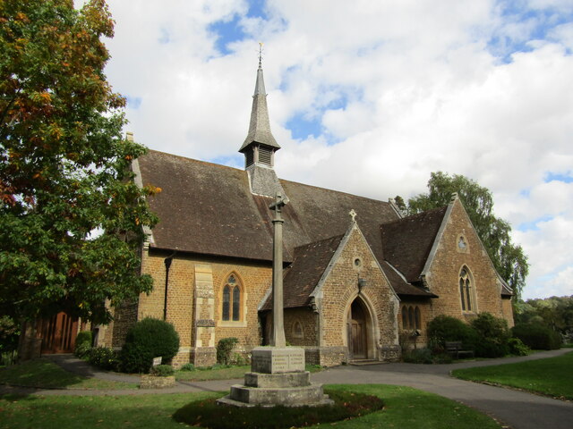
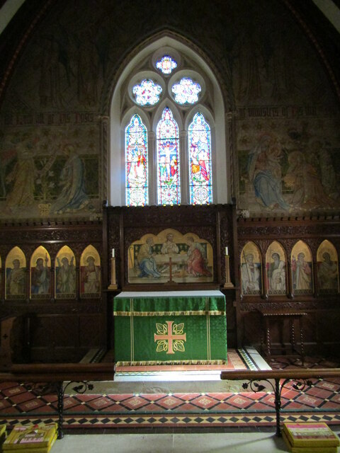
Christ Church, Shamley Green
Christ Church is a Church of England parish church in Shamley Green, Surrey, England. It was constructed in 1863 as a chapel of ease and became a parish...

Winterfold Forest
Winterfold Forest is a wooded area of the broadest plateau of the western Greensand Ridge in Surrey, England. It blends seamlessly into the Hurt Wood...

Surrey Hills AONB
The Surrey Hills is a 422 km2 (163 sq mi) Area of Outstanding Natural Beauty (AONB) in Surrey, England, which principally covers parts of the North Downs...

Farley Green, Surrey
Farley Green is a small hamlet of Albury in the Greensand Ridge where it forms the south of the Surrey Hills AONB, to the south east of Guildford. �...

Hurt Wood Mill, Ewhurst
Hurt Wood Mill is a grade II* listed tower mill at Ewhurst, Surrey, England, which has been converted to residential use. == History == Hurt Wood Mill...
Blackheath Common
Blackheath Common is an area of 250 acres (100 ha) of heathland in Surrey, England, near the village of Albury in the borough of Waverley. It is part of...

Blackheath SSSI, Surrey
Blackheath is a 141.6-hectare (350-acre) biological Site of Special Scientific Interest south-east of Guildford in Surrey.This area of dry lowland heath...
Nearby Amenities
Located within 500m of 51.17833,-0.49916208Have you been to Dean Copse?
Leave your review of Dean Copse below (or comments, questions and feedback).