Conquest Wood
Wood, Forest in Bedfordshire
England
Conquest Wood

Conquest Wood is a picturesque woodland located in Bedfordshire, England. Covering an area of approximately 50 hectares, the wood is a popular destination for nature lovers and outdoor enthusiasts. The woodland is primarily made up of native tree species such as oak, beech, and birch, creating a diverse and vibrant ecosystem.
Visitors to Conquest Wood can enjoy a network of well-maintained walking trails that wind through the forest, providing opportunities to explore the natural beauty of the area. The wood is home to a variety of wildlife, including deer, squirrels, and a wide range of bird species, making it a great spot for birdwatching and wildlife photography.
In addition to its natural beauty, Conquest Wood also has historical significance, with remnants of old structures and boundaries dating back to medieval times. The wood is managed by the local council, which works to preserve its natural beauty and protect its wildlife habitats.
Overall, Conquest Wood offers visitors a peaceful and tranquil escape from the hustle and bustle of everyday life, providing a unique opportunity to connect with nature in the heart of Bedfordshire.
If you have any feedback on the listing, please let us know in the comments section below.
Conquest Wood Images
Images are sourced within 2km of 52.062154/-0.46786613 or Grid Reference TL0541. Thanks to Geograph Open Source API. All images are credited.


Conquest Wood is located at Grid Ref: TL0541 (Lat: 52.062154, Lng: -0.46786613)
Unitary Authority: Central Bedfordshire
Police Authority: Bedfordshire
What 3 Words
///infants.pounding.weeds. Near Houghton Conquest, Bedfordshire
Nearby Locations
Related Wikis

Houghton Conquest
Houghton Conquest is a village and civil parish located in the Central Bedfordshire district of Bedfordshire, England. The parish also includes the hamlet...
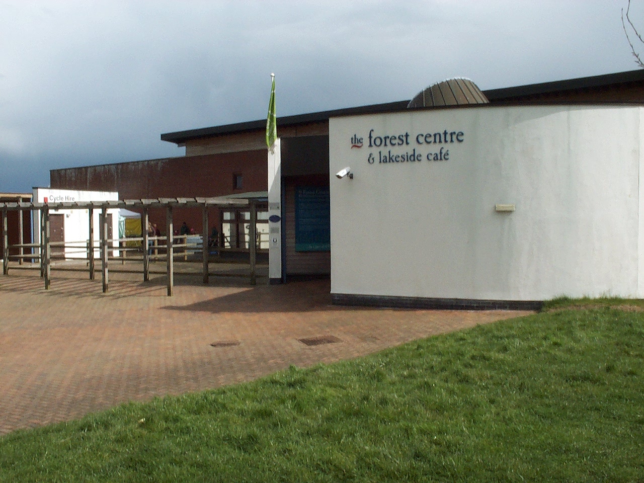
Forest of Marston Vale
The Forest of Marston Vale is an evolving community forest in Marston Vale, which runs south west from the towns of Bedford and Kempston in Bedfordshire...
Church of All Saints, Houghton Conquest
Church of All Saints is a Grade I listed church in Houghton Conquest, Bedfordshire, England. It became a listed building on 23 January 1961. The parish...

Kings Wood and Glebe Meadows, Houghton Conquest
Kings Wood and Glebe Meadows is a 36.1-hectare (89-acre) Site of Special Scientific Interest in Houghton Conquest in Bedfordshire. A local teenage boy...
Nearby Amenities
Located within 500m of 52.062154,-0.46786613Have you been to Conquest Wood?
Leave your review of Conquest Wood below (or comments, questions and feedback).