Grindlepits Spinney

Wood, Forest in Lincolnshire South Kesteven

England

Grindlepits Spinney

Main Street, Belmesthorpe
Main Street, Belmesthorpe Credit: Richard Croft

Grindlepits Spinney is a picturesque woodland located in Lincolnshire, England. Spanning over several acres, this enchanting forest is a haven for nature enthusiasts and a popular destination for visitors seeking tranquility and natural beauty.

The Spinney is characterized by its dense canopy of towering trees, predominantly comprising of oak, beech, and birch. These majestic trees create a serene and shaded atmosphere, making it an ideal spot for leisurely walks and picnics. The forest floor is carpeted with a lush undergrowth of ferns, wildflowers, and moss, adding to the enchanting ambiance.

The diverse wildlife found within Grindlepits Spinney is a major attraction for nature lovers. Visitors can spot a variety of bird species, including woodpeckers, owls, and thrushes, amidst the rustling leaves and melodic bird songs. Squirrels, rabbits, and other small mammals can also be observed scurrying across the forest floor or climbing the tree trunks.

The Spinney is crisscrossed by a network of well-maintained footpaths, allowing visitors to explore its hidden corners and discover its hidden gems. These paths lead to a small stream that meanders through the woodland, providing a peaceful setting for contemplation or a refreshing dip on warm days.

Grindlepits Spinney is a truly magical place, where nature thrives and tranquility reigns. Its natural beauty, diverse wildlife, and peaceful atmosphere make it an idyllic destination for those seeking solace amidst nature's embrace. Whether you are an avid nature lover, a birdwatching enthusiast, or simply looking to escape the hustle and bustle of daily life, Grindlepits Spinney offers a serene and rejuvenating experience for all who visit.

If you have any feedback on the listing, please let us know in the comments section below.

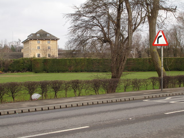
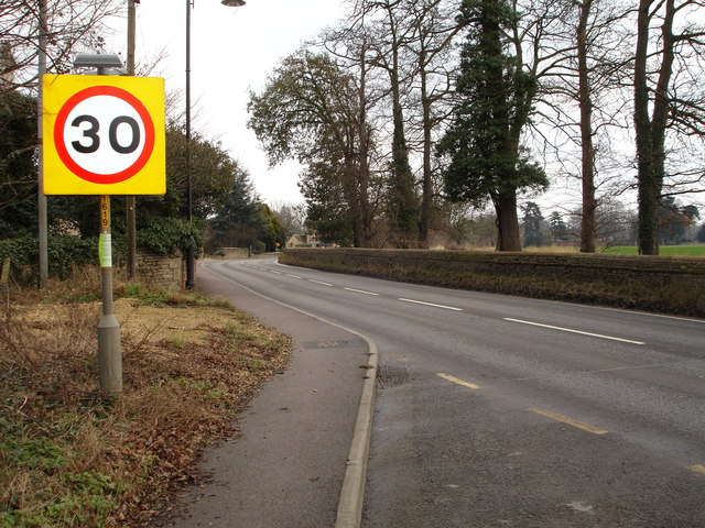
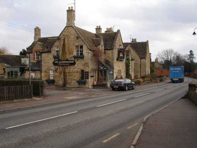
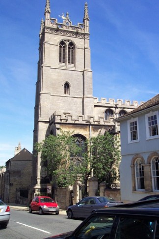
Grindlepits Spinney Images

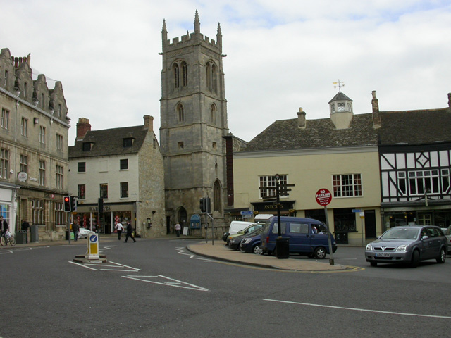
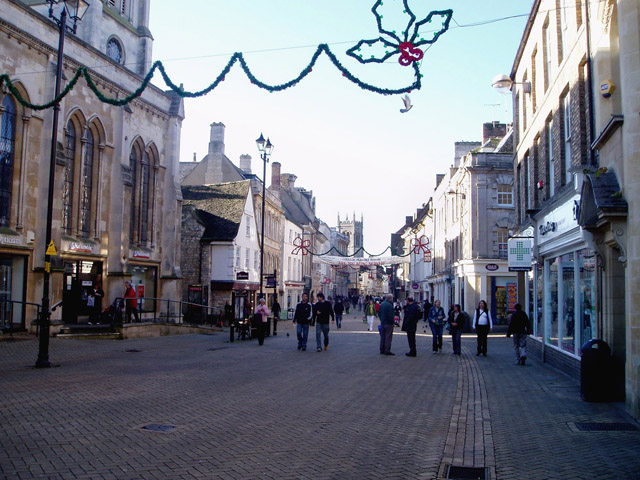
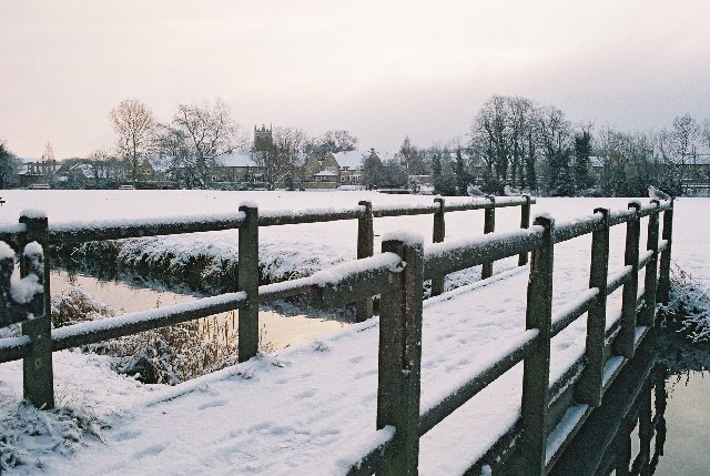
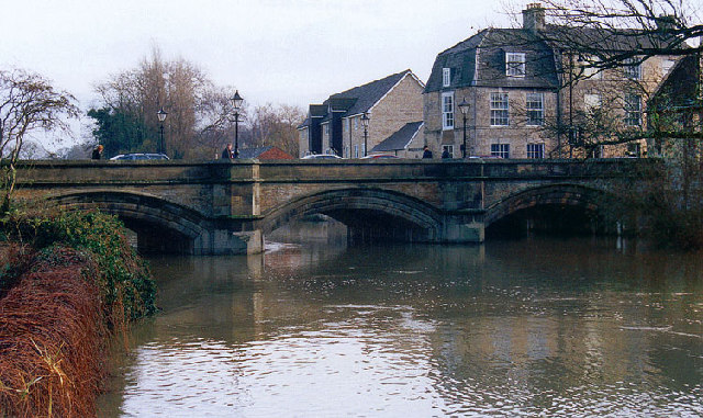
Images are sourced within 2km of 52.662126/-0.45996795 or Grid Reference TF0408. Thanks to Geograph Open Source API. All images are credited.

Main Street, Belmesthorpe
Belmesthorpe
Belmesthorpe
Belmesthorpe bridge over the River Gwash This humped narrow bridge is not wide enough to accommodate passing traffic so oncoming traffic has the right of way on this one!
Belmesthorpe bridge over the River Gwash
This humped narrow bridge is not wide enough to accommodate passing traffic so oncoming traffic has the right of way on this one!
Disused Belmesthorpe railway station This locked gateway is where the level crossing gate would have been at the  Belmesthorpe/Ryhall station on the dismantled railway line between Stamford and Essendine.
Disused Belmesthorpe railway station
This locked gateway is where the level crossing gate would have been at the Belmesthorpe/Ryhall station on the dismantled railway line between Stamford and Essendine.
Try the road! The other end of the footpath is just across there, somewhere.
Try the road!
The other end of the footpath is just across there, somewhere.
Red Lion Square, Stamford The church in the image is just one of many that cluster together in this town.
Red Lion Square, Stamford
The church in the image is just one of many that cluster together in this town.
Filming Pride & Prejudice in Stamford Lincolnshire During September 2004 the market square in front of the Stamford Arts Centre was used for the village of Meryton in the recent production. Several false fronts were erected to hide buildings of the wrong period and several tons of sand used to hide the tarmac
Filming Pride & Prejudice in Stamford Lincolnshire
During September 2004 the market square in front of the Stamford Arts Centre was used for the village of Meryton in the recent production. Several false fronts were erected to hide buildings of the wrong period and several tons of sand used to hide the tarmac
Stamford High Street Stamford developed as an important market town on the Great North Road, and still retains an air of prosperity.
Stamford High Street
Stamford developed as an important market town on the Great North Road, and still retains an air of prosperity.
Stamford Meadows footbridge in the snow Rather tucked up in one corner of this grid square, but I thought a snowy image might be a nice one to kick things off! 
Bound to be more picture opportunities further west following the river towards the A1 but I didn't have my wellies!
Stamford Meadows footbridge in the snow
Rather tucked up in one corner of this grid square, but I thought a snowy image might be a nice one to kick things off! Bound to be more picture opportunities further west following the river towards the A1 but I didn't have my wellies!
Bridge over the River Welland at Stamford
Mummers on Stamford High Street. Entertaining the Christmas shoppers in one of the old Five Boroughs of the Danelaw. 
The characters shown are, from left to right, the hobby horse (the Doctor's horse – "he who ain't been yet"); the Turkish Knight; Beelzebub; Father Christmas; St George; the Doctor. Not shown (and not always present) is Little Johnny Jack.  - thanks to Simon Garbutt.
Mummers on Stamford High Street.
Entertaining the Christmas shoppers in one of the old Five Boroughs of the Danelaw. The characters shown are, from left to right, the hobby horse (the Doctor's horse – "he who ain't been yet"); the Turkish Knight; Beelzebub; Father Christmas; St George; the Doctor. Not shown (and not always present) is Little Johnny Jack. - thanks to Simon Garbutt.
St.Leonard's Priory In a town rich in historic buildings, St.Leonard's Priory is by far the best Norman architecture. Reputedly founded in 1082, the remains seen here are the early 12th century west front and 5 bays of a 6 bay north arcade. The site was extensively excavated 1967-72 and the finds are displayed in the Stamford Museum.
St.Leonard's Priory
In a town rich in historic buildings, St.Leonard's Priory is by far the best Norman architecture. Reputedly founded in 1082, the remains seen here are the early 12th century west front and 5 bays of a 6 bay north arcade. The site was extensively excavated 1967-72 and the finds are displayed in the Stamford Museum.
Newstead Mill, Stamford Former mill converted to apartments
Newstead Mill, Stamford
Former mill converted to apartments
Approaching Uffington Village from Stamford
The Gainsborough public house in Uffington
All Saints, Stamford
St. John the Baptist, Stamford
Stamford Baron, St. Martin
Show me another place!

Grindlepits Spinney is located at Grid Ref: TF0408 (Lat: 52.662126, Lng: -0.45996795)

Administrative County: Lincolnshire

District: South Kesteven

Police Authority: Lincolnshire

What 3 Words

///second.headed.person. Near Stamford, Lincolnshire

Nearby Locations

Grindlepits Spinney

Related Wikis

Newstead Priory

Newstead Priory was a priory in Lincolnshire, England, between Stamford and Uffington. It was founded as a hospital towards the end of the 12th century...

Blackstones F.C.

Blackstones Football Club is a football club based in Stamford, Lincolnshire, England. They are currently members of the United Counties League Division...

Stamford A.F.C.

Stamford Association Football Club is an English association football club based in Stamford, Lincolnshire. They currently compete in the Southern League...

Stamford College, Lincolnshire

Stamford College is a further education college on Drift Road in Stamford, Lincolnshire, England. It opened as Stamford Technical College in 1967 and was...

St Leonard's Priory, Stamford

St Leonard's Priory, Stamford was a priory in Lincolnshire, England. It was built in Stamford, supposedly on the site of a monastery which was founded...

Greyfriars, Stamford

Greyfriars, Stamford was a Franciscan friary in Stamford, Lincolnshire, England. It was one of many religious houses suppressed and closed during the Dissolution...

Stamford School

Stamford School is an independent school for boys in Stamford, Lincolnshire in the English public school tradition. Founded in 1532, it has been a member...

Stamford High School, Lincolnshire

Stamford High School is an independent school for girls in Stamford, Lincolnshire, England, situated on High Street, St Martin's. From September 2023,...

Nearby Amenities

Located within 500m of 52.662126,-0.45996795
Traffic Signals
Lat/Long: 52.6595198/-0.4659897
Bus Stop
Rutland Road
Bus: yes
Naptan AtcoCode: 270000008967
Naptan Bearing: S
Naptan CommonName: Rutland Road
Naptan Indicator: opp
Naptan Landmark: Rutland Road
Naptan NaptanCode: lingwjtg
Naptan Street: Ryhall Road
Naptan Verified: no
Public Transport: platform
Source: naptan_import
Lat/Long: 52.6612468/-0.4660755
Bus Stop
Guash Way
Bus: yes
Naptan AtcoCode: 270002700917
Naptan Bearing: SE
Naptan CommonName: Guash Way
Naptan Indicator: adj
Naptan Landmark: Guash Way
Naptan NaptanCode: linagmag
Naptan Street: Ryhall Road
Naptan Verified: no
Public Transport: platform
Source: naptan_import
Lat/Long: 52.6637283/-0.4667724
Bus Stop
Rutland Road
Bus: yes
Naptan AtcoCode: 2700LSDR3815
Naptan Bearing: N
Naptan CommonName: Rutland Road
Naptan Indicator: adj
Naptan Landmark: Rutland Road
Naptan NaptanCode: lindgjgw
Naptan Street: Ryhall Road
Naptan Verified: no
Public Transport: platform
Source: naptan_import
Lat/Long: 52.6615552/-0.4662865
Newstead Farm
Place: farm
Source: Bing
Lat/Long: 52.6601088/-0.4545077
Newstead Mill
Place: isolated_dwelling
Source: Bing
Lat/Long: 52.6586191/-0.4554076
Carr's Lodge
Place: isolated_dwelling
Source: Bing
Lat/Long: 52.6644258/-0.4537316
Rhino's Gymnasium
Addr Postcode: PE9 1XP
Addr Street: Gwash Way
Addr Unit: 22
Email: rhinosgymnasium@live.com
Fhrs Authority: South Kesteven
Fhrs Id: 862213
Fhrs Local Authority Id: 86882
Leisure: fitness_centre
Opening Hours: Mo-Fr 06:00-21:30; Sa-Su 09:00-18:00
Phone: +44 7554219400
Website: https://www.rhinosgymnasium.co.uk/
Lat/Long: 52.664204/-0.4659433
Generator Method: photovoltaic
Generator Output Electricity: yes
Generator Source: solar
Generator Type: solar_photovoltaic_panel
Location: roof
Power: generator
Lat/Long: 52.6616227/-0.4658524
Generator Method: photovoltaic
Generator Output Electricity: yes
Generator Source: solar
Generator Type: solar_photovoltaic_panel
Location: roof
Power: generator
Lat/Long: 52.6616376/-0.4657864
Generator Method: photovoltaic
Generator Output Electricity: yes
Generator Source: solar
Generator Type: solar_photovoltaic_panel
Location: roof
Power: generator
Lat/Long: 52.6601658/-0.4550707
Argos
Brand: Argos
Brand Wikidata: Q4789707
Brand Wikipedia: en:Argos (retailer)
Contact Website: https://www.argos.co.uk/stores/4876-stamford-argos-in-sainsburys
Fhrs Authority: South Kesteven
Fhrs Id: 238375
Fhrs Local Authority Id: 2628
Shop: catalogue
Lat/Long: 52.6631162/-0.4652613
Howdens Joinery
Brand: Howdens Joinery
Brand Wikidata: Q5921438
Shop: kitchen
Website: https://www.howdens.com/find-a-depot/stamford
Lat/Long: 52.6601408/-0.4657455
Wolseley
Brand: Wolseley
Brand Wikidata: Q8030423
Shop: trade
Trade: plumbing
Website: https://www.wolseley.co.uk/branch/stamford/
Lat/Long: 52.65922/-0.4655778
The data included in this document is from www.openstreetmap.org. The data is made available under ODbL.

Have you been to Grindlepits Spinney?

Leave your review of Grindlepits Spinney below (or comments, questions and feedback).