Flint's Wood
Wood, Forest in Bedfordshire
England
Flint's Wood

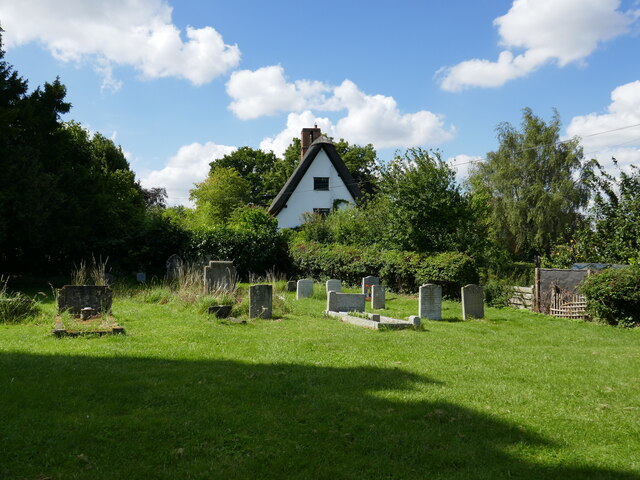
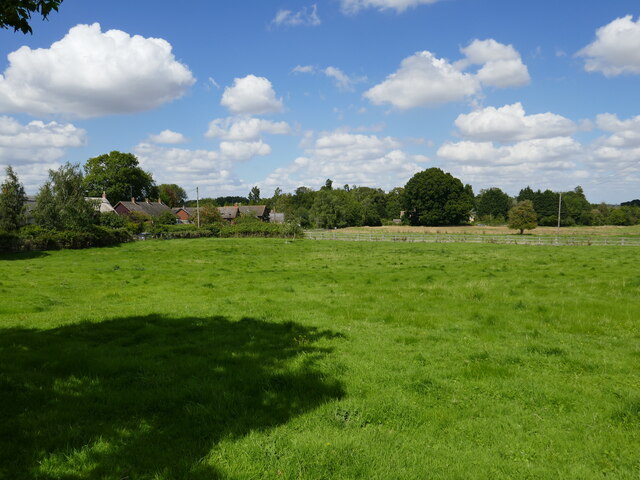
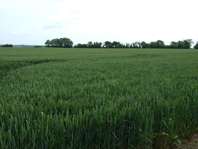
Flint's Wood is a charming woodland located in the county of Bedfordshire, England. Stretching across an area of approximately 150 acres, this forest is a natural haven for wildlife and a popular destination for nature enthusiasts and hikers alike.
The wood is named after the abundance of flint stones that can be found scattered throughout its grounds. These flint stones, dating back thousands of years, have been used by humans for various purposes, such as tool-making and construction. The presence of these historic artifacts adds an intriguing historical dimension to the wood.
Flint's Wood boasts a diverse ecosystem, comprising of ancient oak and beech trees, as well as a variety of plant species including bluebells and wild garlic. This rich vegetation provides a habitat for a wide array of wildlife, including deer, foxes, badgers, and various bird species. Birdwatchers can often spot woodpeckers, owls, and songbirds among the treetops.
The wood is crisscrossed with well-maintained walking trails, making it an ideal destination for outdoor enthusiasts. Visitors can explore the forest at their leisure, immersing themselves in the peaceful ambiance and enjoying the sights and sounds of nature. It is also a great spot for picnics, with several designated areas equipped with benches and tables.
Flint's Wood offers a tranquil and picturesque escape from the hustle and bustle of everyday life. Whether it's a leisurely walk, a wildlife-spotting excursion, or simply a moment of serenity, this woodland is a gem waiting to be discovered in Bedfordshire.
If you have any feedback on the listing, please let us know in the comments section below.
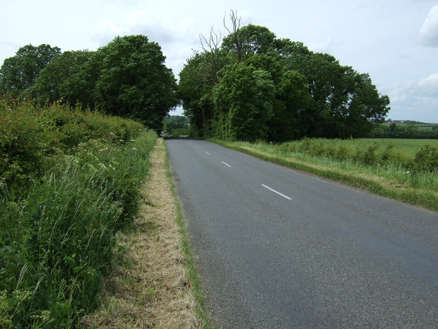
Flint's Wood Images
Images are sourced within 2km of 52.265764/-0.47646416 or Grid Reference TL0464. Thanks to Geograph Open Source API. All images are credited.


Flint's Wood is located at Grid Ref: TL0464 (Lat: 52.265764, Lng: -0.47646416)
Unitary Authority: Bedford
Police Authority: Bedfordshire
What 3 Words
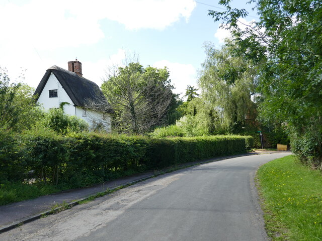
///recorder.flagpole.cracks. Near Riseley, Bedfordshire
Nearby Locations
Related Wikis
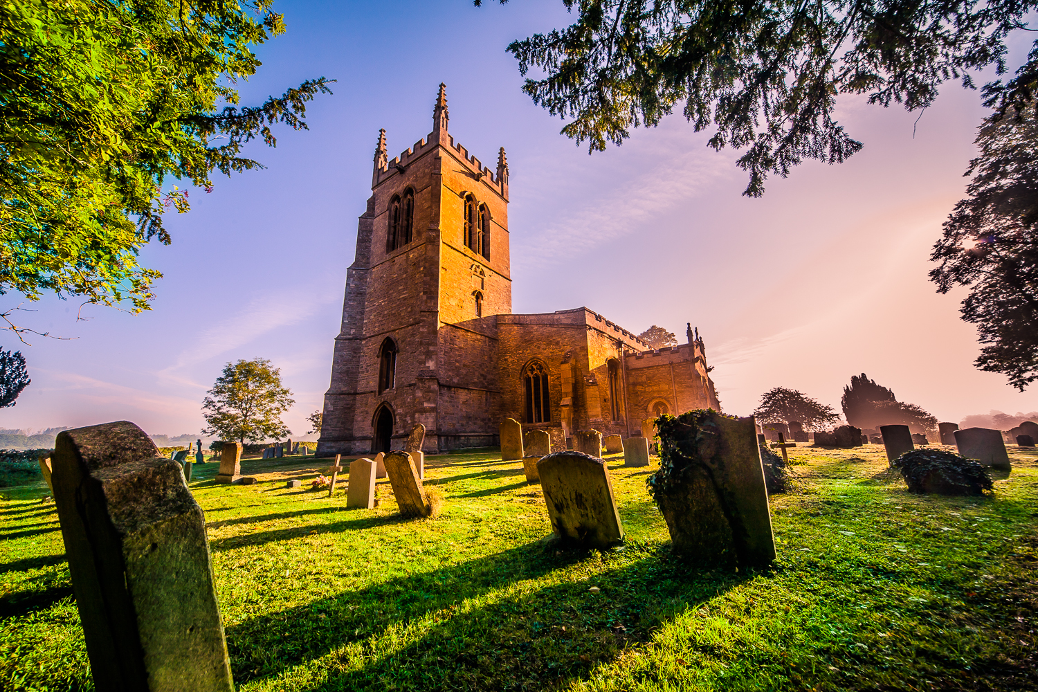
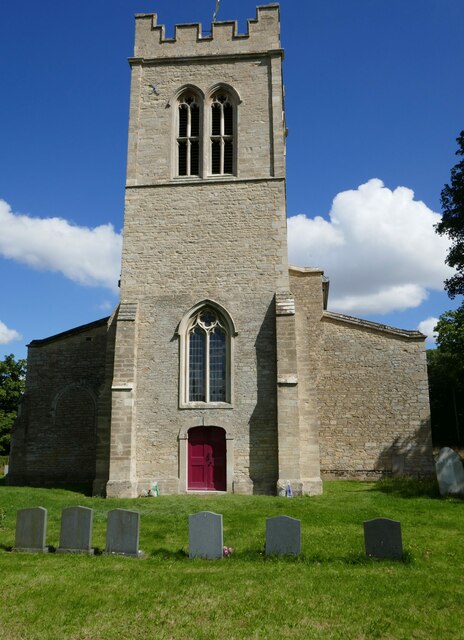
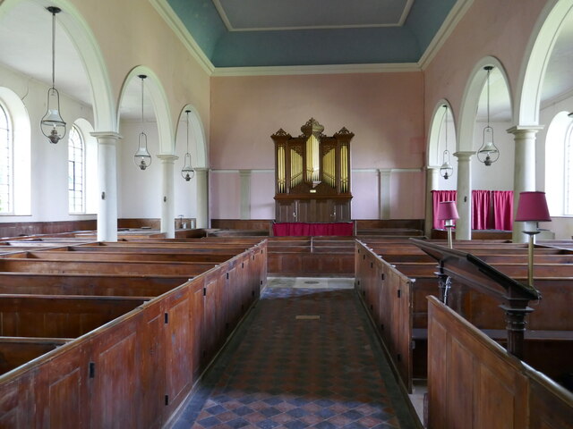
Church of All Saints, Riseley, Bedfordshire
Church of All Saints is a Grade I listed church in Riseley, Bedfordshire, England. It became a listed building on 13 July 1964.The tower, roofs and seating...

Melchbourne Preceptory
Melchbourne Preceptory was a priory in Melchbourne, Bedfordshire, England. It was established in the 12th century and disestablished around 1550. ��2...
Riseley, Bedfordshire
Riseley is a village and civil parish located in North Bedfordshire, England. The village name has had alternative spellings in the past such as Rislau...
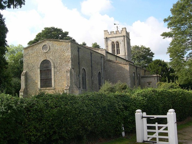
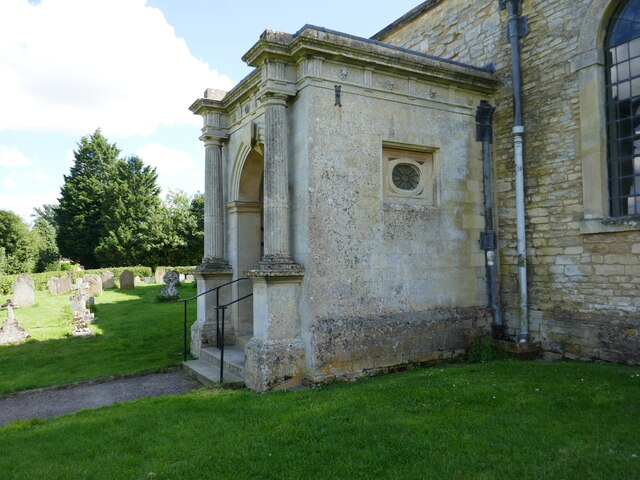
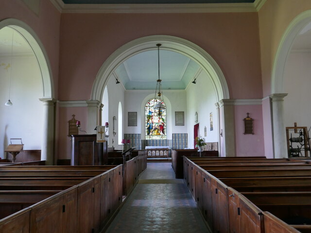
Church of St Mary Magdalene, Melchbourne
Church of St Mary Magdalene is a Grade I listed church in Melchbourne, Bedfordshire, England. It became a listed building on 13 July 1964. The church is...
Nearby Amenities
Located within 500m of 52.265764,-0.47646416Have you been to Flint's Wood?
Leave your review of Flint's Wood below (or comments, questions and feedback).