Coppice Wood
Wood, Forest in Bedfordshire
England
Coppice Wood

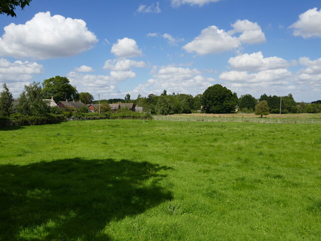
Coppice Wood is a picturesque woodland located in Bedfordshire, England. Covering an area of approximately 50 acres, it is a popular destination for nature enthusiasts and those seeking tranquility amidst the hustle and bustle of everyday life.
The wood is predominantly made up of deciduous trees, including oak, ash, and beech, which create a dense canopy that provides shade during the summer months. The forest floor is covered in a thick layer of leaf litter, creating a natural carpet of vibrant colors in the autumn.
Coppice Wood is known for its rich biodiversity, serving as a habitat for a variety of wildlife. Visitors may spot a wide range of bird species, such as woodpeckers, owls, and thrushes, as well as small mammals like squirrels and hedgehogs. The wood also hosts a diverse array of plant life, including bluebells, foxgloves, and wild garlic, which bloom in spring, adding to the beauty of the surroundings.
There are several well-maintained walking trails that wind through the wood, allowing visitors to explore its hidden corners and discover its natural wonders. These trails vary in difficulty, catering to all fitness levels and providing options for leisurely strolls or more challenging hikes.
Coppice Wood is managed by the local Bedfordshire Wildlife Trust, which works to preserve the natural habitat and educate visitors about the importance of conservation. There are designated picnic areas and benches scattered throughout the wood, providing the perfect spot for a picnic or to simply enjoy the tranquility of the surroundings.
Overall, Coppice Wood offers a peaceful retreat for nature lovers, with its diverse flora and fauna, well-maintained trails, and serene atmosphere. It is a true gem in the heart of Bedfordshire.
If you have any feedback on the listing, please let us know in the comments section below.
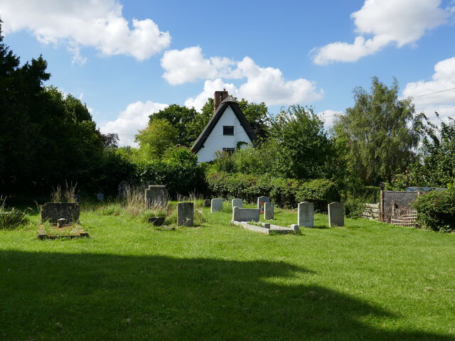
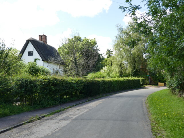
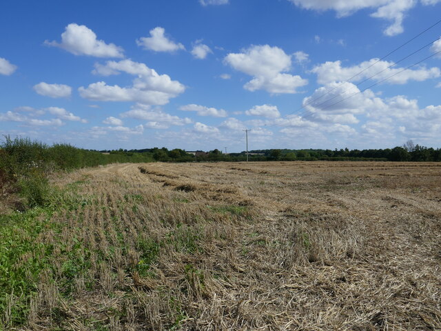
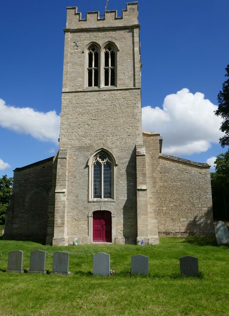
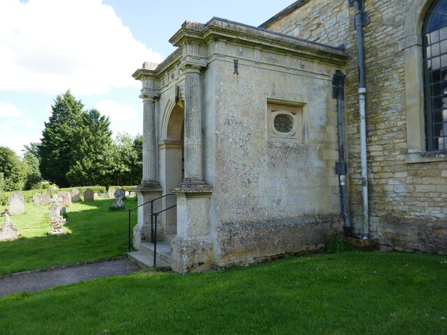
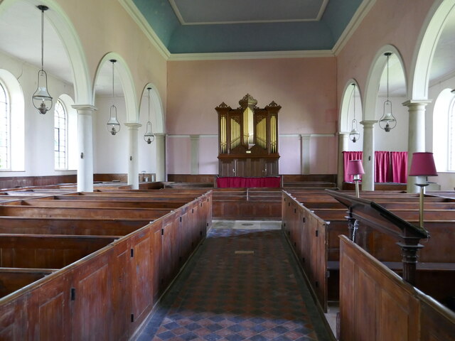
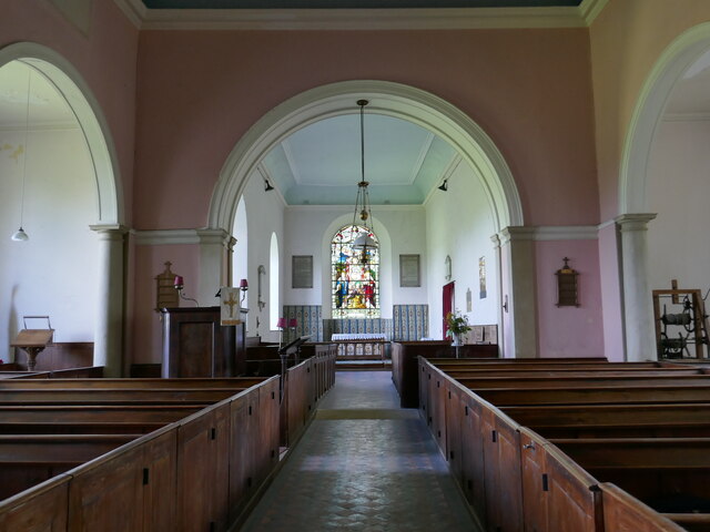
Coppice Wood Images
Images are sourced within 2km of 52.272303/-0.47662106 or Grid Reference TL0464. Thanks to Geograph Open Source API. All images are credited.


Coppice Wood is located at Grid Ref: TL0464 (Lat: 52.272303, Lng: -0.47662106)
Unitary Authority: Bedford
Police Authority: Bedfordshire
What 3 Words
///overnight.dogs.realm. Near Swineshead, Bedfordshire
Nearby Locations
Related Wikis

Melchbourne Preceptory
Melchbourne Preceptory was a priory in Melchbourne, Bedfordshire, England. It was established in the 12th century and disestablished around 1550. ��2...
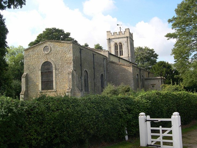
Church of St Mary Magdalene, Melchbourne
Church of St Mary Magdalene is a Grade I listed church in Melchbourne, Bedfordshire, England. It became a listed building on 13 July 1964. The church is...

Melchbourne
Melchbourne is a village and former civil parish, now in the parish of Melchbourne and Yielden, in the Bedford district, in the ceremonial county of Bedfordshire...

Church of All Saints, Riseley, Bedfordshire
Church of All Saints is a Grade I listed church in Riseley, Bedfordshire, England. It became a listed building on 13 July 1964.The tower, roofs and seating...
Related Videos

Winter cloudscape from a CFM Shadow
A quick flight around the Grafham water area to blow away the cobwebs, really good view of the building works taking place at ...

Robin Aircraft DR401 155CDI landing at Sackville Farm
The Mistral Aviation Robin DR401 155CDI aircraft landing on runway 31at Sackville Farm with lunch at the Fox and Hounds in ...


Summer Sackville Take-off - Knocking the rust off! (StratoShort)
This was a fantastic evening for it! Take-off from strip 13. Had been grounded for last 3 weeks due to max x-wind at the field.
Nearby Amenities
Located within 500m of 52.272303,-0.47662106Have you been to Coppice Wood?
Leave your review of Coppice Wood below (or comments, questions and feedback).