Crabtree Spinney
Wood, Forest in Bedfordshire
England
Crabtree Spinney

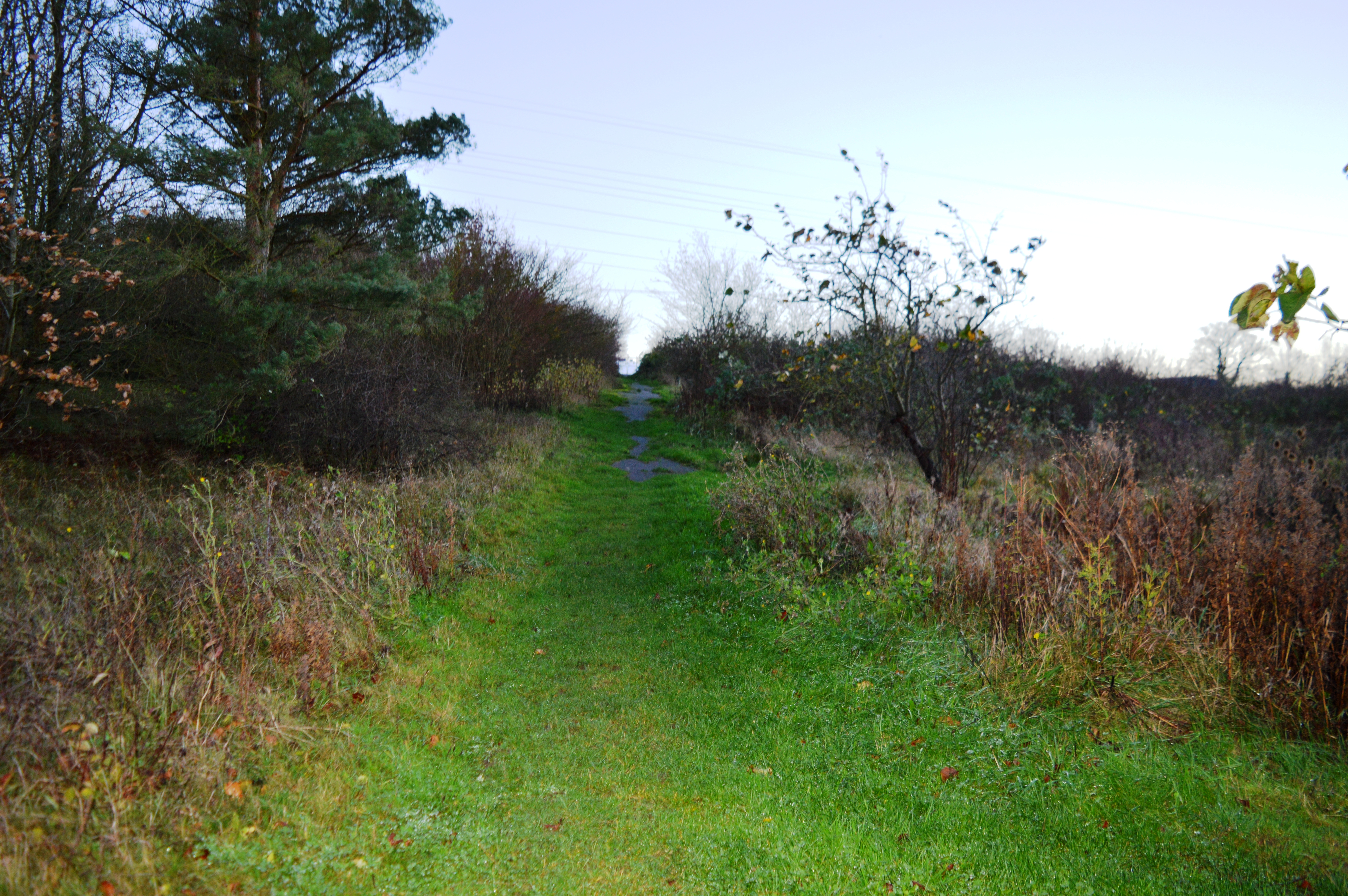
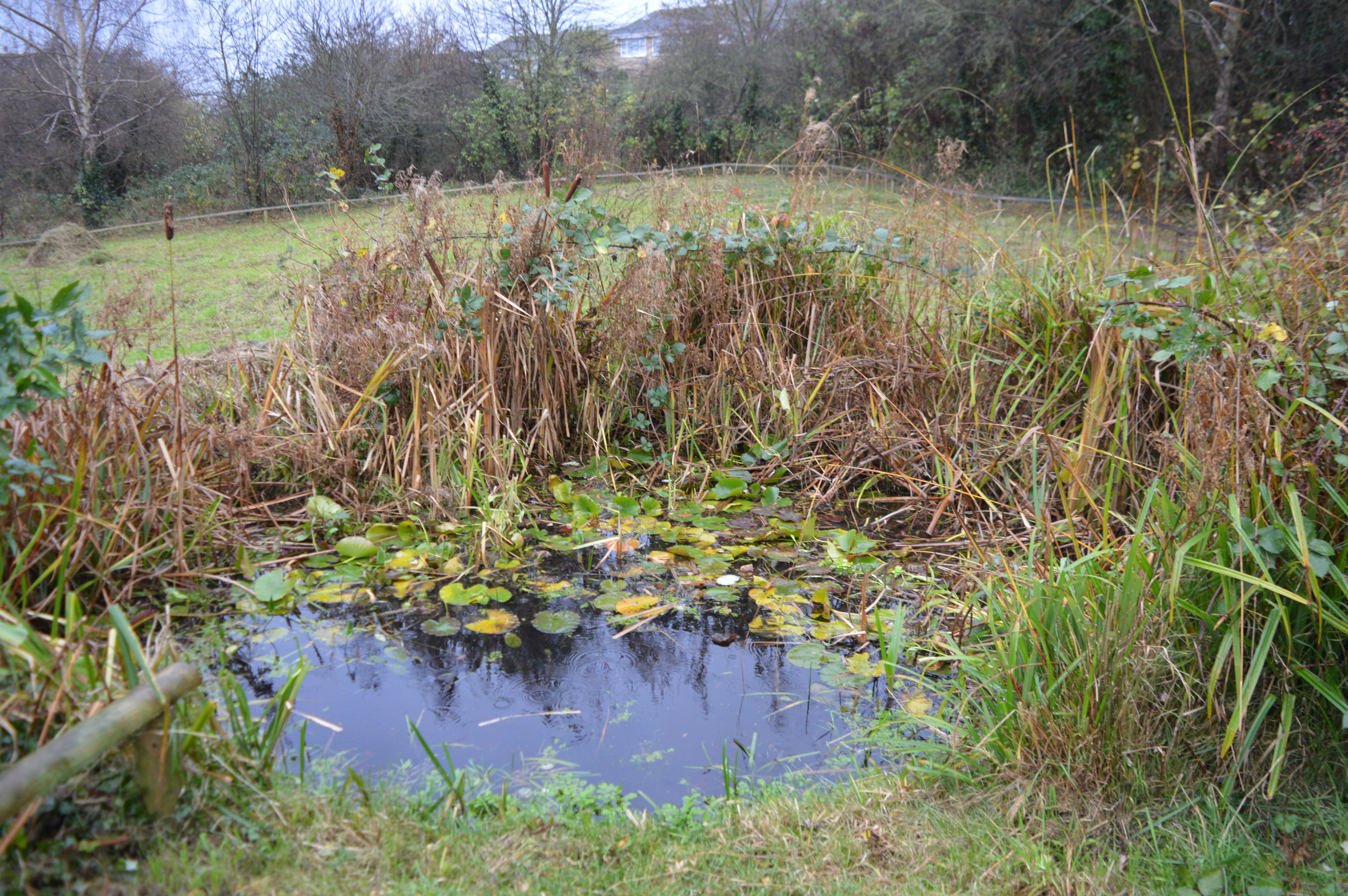
Crabtree Spinney is a picturesque woodland located in the county of Bedfordshire, England. Situated in the heart of the county, this enchanting forest spans an area of approximately 50 acres, providing a serene and peaceful escape from the bustling city life.
The woodland is mainly composed of broadleaved trees, predominantly oak and beech, which create a dense canopy overhead, allowing only specks of sunlight to filter through. This gives Crabtree Spinney a mystical and magical ambiance, making it a popular destination for nature enthusiasts and photographers alike.
As visitors explore the forest, they will be greeted by a diverse array of flora and fauna. Bluebells and wild garlic carpet the forest floor during the spring, creating a vibrant and fragrant display. Small mammals such as foxes, rabbits, and squirrels can be spotted scurrying between the trees, while a variety of bird species including woodpeckers, owls, and thrushes call the woodland their home.
Crabtree Spinney offers a network of well-maintained footpaths and trails, allowing visitors to fully immerse themselves in the natural beauty of the woodland. These paths wind through the forest, leading to hidden clearings and secluded picnic spots, providing the perfect opportunity for a tranquil lunch amidst nature.
The woodland is managed by the local Bedfordshire Wildlife Trust, ensuring the preservation of its ecological integrity. The trust organizes guided walks and nature talks to educate visitors about the importance of conservation and the unique ecosystem that Crabtree Spinney supports.
Overall, Crabtree Spinney in Bedfordshire is a haven of tranquility, offering a rich and diverse natural environment for visitors to explore and appreciate.
If you have any feedback on the listing, please let us know in the comments section below.
Crabtree Spinney Images
Images are sourced within 2km of 52.161794/-0.48166919 or Grid Reference TL0352. Thanks to Geograph Open Source API. All images are credited.


Crabtree Spinney is located at Grid Ref: TL0352 (Lat: 52.161794, Lng: -0.48166919)
Unitary Authority: Bedford
Police Authority: Bedfordshire
What 3 Words
///bolt.badge.create. Near Clapham, Bedfordshire
Nearby Locations
Related Wikis
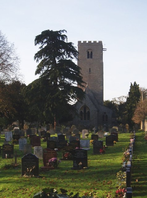
Church of St Thomas of Canterbury, Clapham, Bedfordshire
Church of St Thomas of Canterbury (also Clapham Parish Church, or Thomas à Becket) is a parish church and Grade I listed building in Clapham, Bedfordshire...

Bedford & County Golf Club
Bedford & County Golf Club is a golf club to the northeast of Clapham, Bedfordshire, England. It was established in 1912. As of 1995 the course measured...
Park Wood, Bedford
Park Wood is a 5.2 hectare Local Nature Reserve located in the Brickhill area of Bedford. It is owned by Bedford Borough Council and managed by the council...
St Thomas More Catholic School, Bedford
St Thomas More Catholic School is a mixed secondary school and sixth form located in Bedford in the English county of Bedfordshire. The school is located...

Clapham, Bedfordshire
Clapham is a village and civil parish in the Borough of Bedford in Bedfordshire, England. It had a population of 3,643 as at the 2001 census, increasing...

Brickhill
Brickhill is a civil parish and electoral ward within northern Bedford in Bedfordshire, England. The boundaries of Brickhill are approximately Kimbolton...

Bedford Modern School
Bedford Modern School (often called BMS) is a Headmasters' and Headmistresses' Conference independent school in Bedford, England. The school has its origins...
Hill Rise, Bedford
Hill Rise is a 0.9 hectare Local Nature Reserve (LNR) located in the Harpur area of Bedford. It is owned and managed by Bedford Borough Council.The site...
Nearby Amenities
Located within 500m of 52.161794,-0.48166919Have you been to Crabtree Spinney?
Leave your review of Crabtree Spinney below (or comments, questions and feedback).