Catbury Wood
Wood, Forest in Lincolnshire South Kesteven
England
Catbury Wood

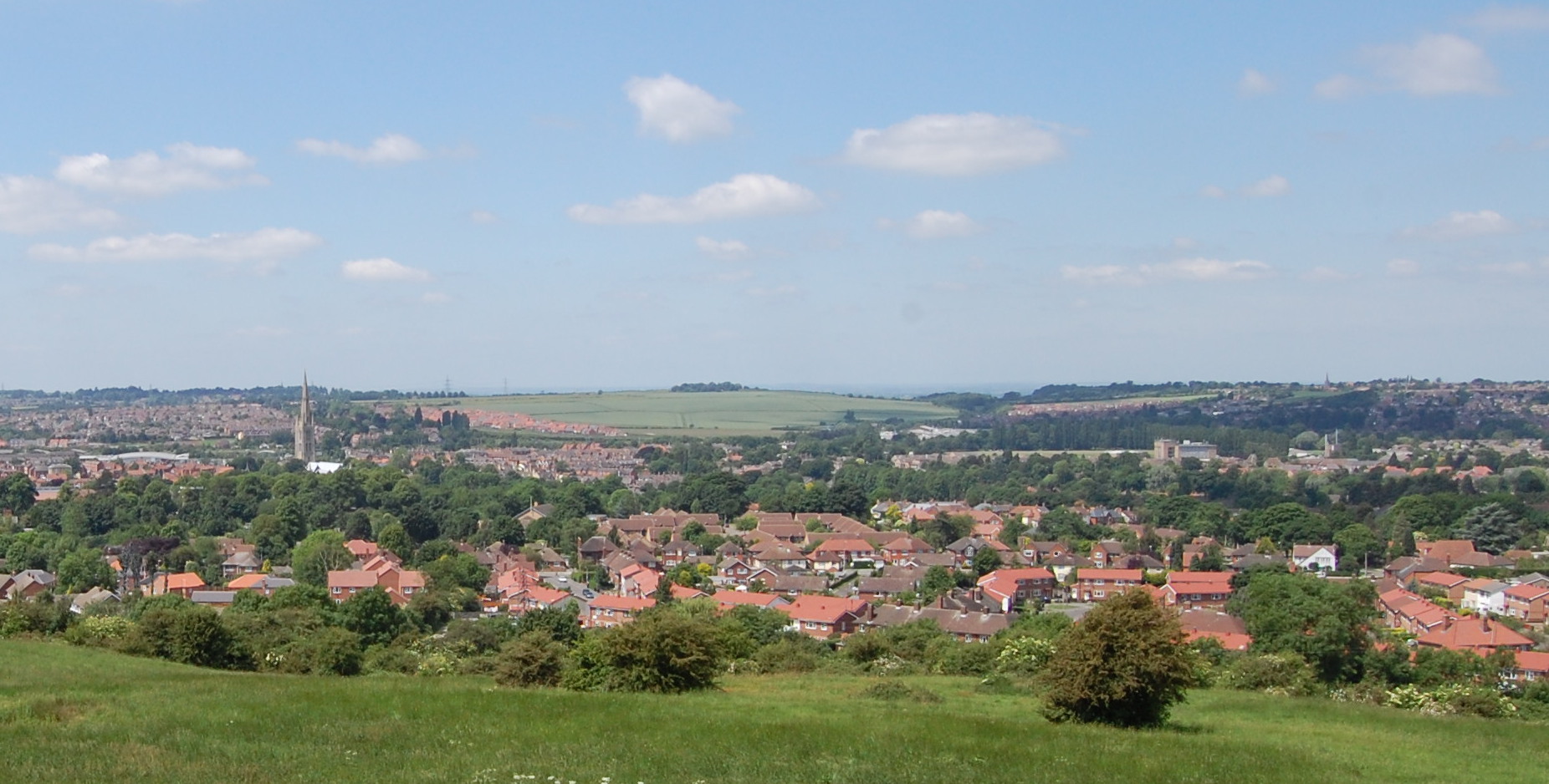
Catbury Wood is a dense forest located in the county of Lincolnshire, England. Spanning an area of approximately 500 acres, it is known for its stunning natural beauty and rich biodiversity. The wood is situated near the village of Catbury, which is renowned for its picturesque landscapes.
The woodland is predominantly composed of deciduous trees, including oak, beech, and birch, which create a vibrant and colorful canopy during the autumn season. The forest floor is covered with a lush carpet of ferns, wildflowers, and mosses, adding to its enchanting atmosphere. Several walking trails wind through the wood, allowing visitors to explore its hidden treasures and observe the diverse wildlife that calls it home.
Catbury Wood is a haven for a variety of bird species, including song thrushes, woodpeckers, and tawny owls. It also provides habitat for mammals such as deer, foxes, and badgers. The forest's tranquil atmosphere and secluded pathways offer a peaceful retreat for nature enthusiasts and hikers alike.
In addition to its natural wonders, Catbury Wood holds historical significance. It is rumored to have inspired renowned poet Alfred Lord Tennyson during his stay in the area. The wood has also been a subject of local folklore and legends, with tales of mythical creatures and hidden treasures.
Overall, Catbury Wood in Lincolnshire is a captivating woodland that showcases the beauty of nature. With its diverse flora and fauna, scenic trails, and rich history, it is a destination that appeals to both nature lovers and those seeking a peaceful retreat.
If you have any feedback on the listing, please let us know in the comments section below.
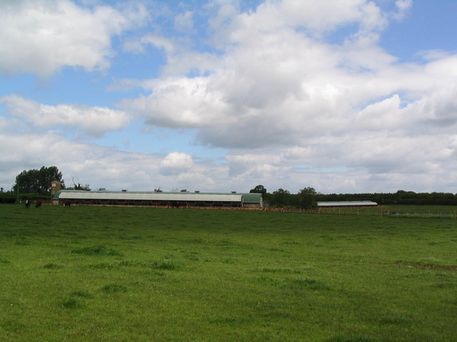
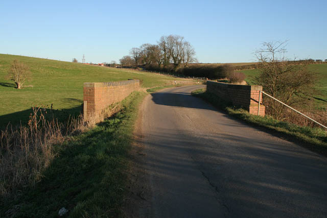
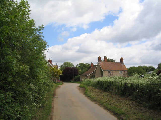
Catbury Wood Images
Images are sourced within 2km of 52.819982/-0.46221407 or Grid Reference TF0325. Thanks to Geograph Open Source API. All images are credited.


Catbury Wood is located at Grid Ref: TF0325 (Lat: 52.819982, Lng: -0.46221407)
Administrative County: Lincolnshire
District: South Kesteven
Police Authority: Lincolnshire
What 3 Words
///channel.inspected.kiosk. Near Corby Glen, Lincolnshire
Nearby Locations
Related Wikis

Irnham
Irnham is a village and civil parish in South Kesteven, Lincolnshire, England. It is situated approximately 10 miles (16 km) south-east from Grantham...

Bulby
Bulby is a hamlet in the South Kesteven district of Lincolnshire, England, and in the civil parish of Irnham, Bulby and Hawthorpe. The village is situated...

Hawthorpe, Lincolnshire
Hawthorpe is a hamlet in the South Kesteven district of Lincolnshire, England, and the civil parish of Irnham, Bulby and Hawthorpe. It is west from the...

Keisby
Keisby is a small hamlet in the district of South Kesteven, in Lincolnshire, England. It is situated 6 miles (10 km) north-west from Bourne and 9 miles...
Elsthorpe
Elsthorpe is a hamlet in the South Kesteven district of Lincolnshire, England. It is situated 5 miles (8 km) north-west from the town of Bourne, and in...

Grimsthorpe
Grimsthorpe is a hamlet in the South Kesteven district of Lincolnshire, England. It is situated on the A151 road, and 3 miles (5 km) north-west from Bourne...
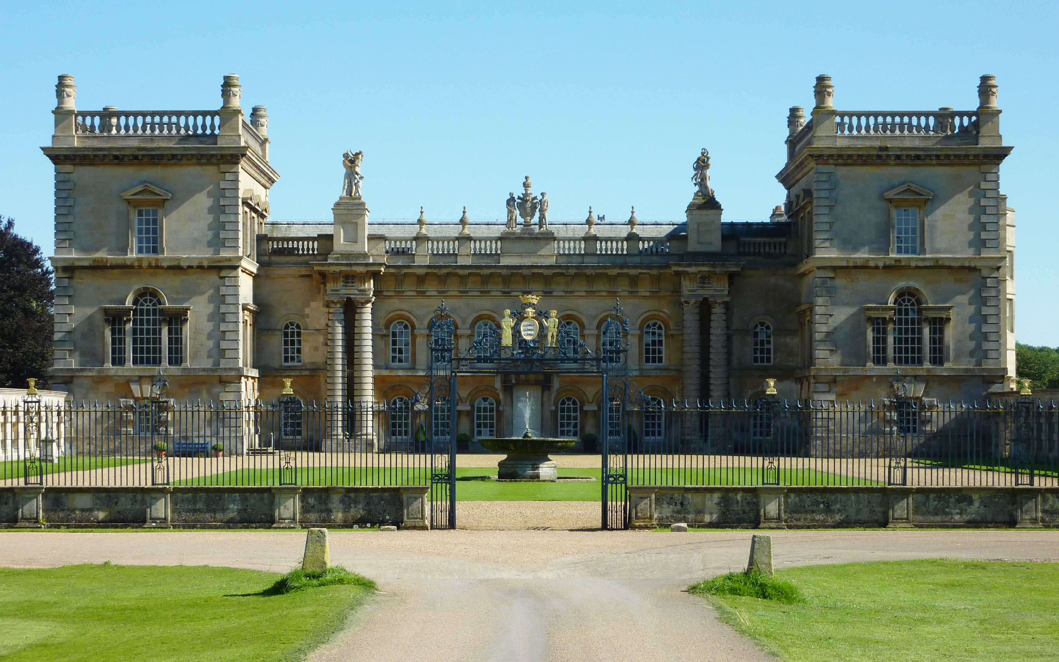
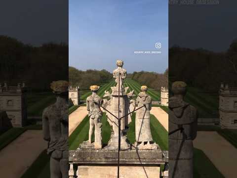
Grimsthorpe Castle
Grimsthorpe Castle is a country house in Lincolnshire, England 4 miles (6.4 km) north-west of Bourne on the A151. It lies within a 3,000 acre (12 km2)...
South Kesteven
South Kesteven is a local government district in Lincolnshire, England, forming part of the traditional Kesteven division of the county. Its council is...
Related Videos

Festival Of The Unexceptional 2023
This Is A Great Show Definitely one of my favourites. It's had some amazing cars from the past, just like you have gone back in ...


Grimsthorpe Castle Park & Gardens in September ( RHS Partner Garden / Lincolnshire)
Grimsthorpe Castle Lincolnshire RHS Partner Garden Filmed 5/9/2022 by David and Dawn French.
Nearby Amenities
Located within 500m of 52.819982,-0.46221407Have you been to Catbury Wood?
Leave your review of Catbury Wood below (or comments, questions and feedback).