Elsea Wood

Wood, Forest in Lincolnshire South Kesteven

England

Elsea Wood

View north from near Scottlethorpe Grange The road to Scottlethorpe runs across a valley in the middle distance and (invisibly) through the woods on the horizon
View north from near Scottlethorpe Grange Credit: Tim Heaton

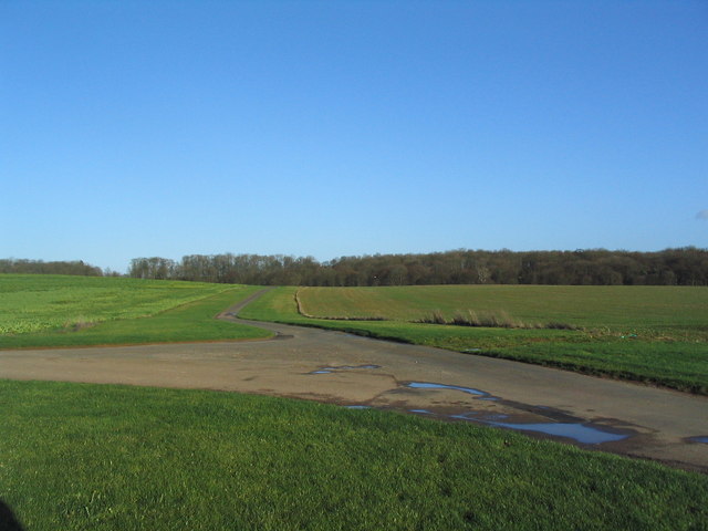
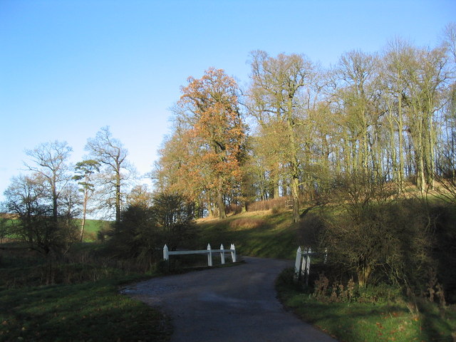
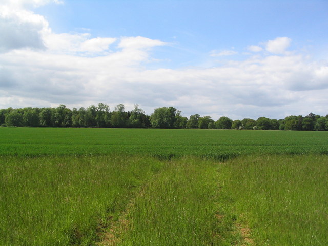
Elsea Wood is a charming woodland area located in Lincolnshire, England. Situated near the village of Bourne, it covers an approximate area of 125 acres. The wood is renowned for its picturesque beauty and tranquil atmosphere, drawing nature enthusiasts and locals alike.

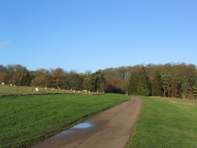
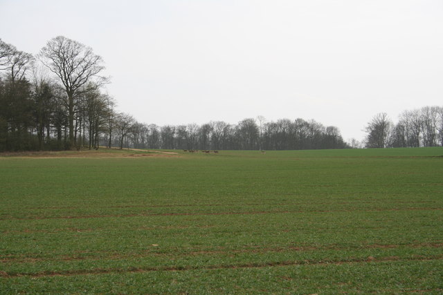
The woodland is predominantly composed of broadleaf trees, including oak, ash, and birch, which provide a diverse and vibrant canopy throughout the year. The forest floor is adorned with a rich carpet of bluebells in the spring, creating a stunning display of colors. Additionally, the wood is home to a variety of wildlife, such as deer, squirrels, and numerous bird species, making it a haven for nature lovers and birdwatchers.

Elsea Wood offers a range of recreational activities for visitors. There are well-maintained walking trails that wind through the woodland, allowing visitors to explore the scenic surroundings at their own pace. The trails are suitable for all ages and fitness levels, making it an ideal destination for families and individuals alike.

The wood also features a picnic area, providing the perfect spot for visitors to relax and enjoy a meal amidst the serene natural surroundings. Moreover, Elsea Wood is well-equipped with benches and seating areas, offering ample opportunities to rest and take in the peaceful ambiance.

Overall, Elsea Wood in Lincolnshire is a delightful destination for nature lovers, offering a serene environment, stunning flora and fauna, and recreational activities that cater to all.

If you have any feedback on the listing, please let us know in the comments section below.

Elsea Wood Images

Images are sourced within 2km of 52.76614/-0.4650603 or Grid Reference TF0319. Thanks to Geograph Open Source API. All images are credited.

View north from near Scottlethorpe Grange The road to Scottlethorpe runs across a valley in the middle distance and (invisibly) through the woods on the horizon
View north from near Scottlethorpe Grange
The road to Scottlethorpe runs across a valley in the middle distance and (invisibly) through the woods on the horizon
Mistletoe in lime trees; Steel's Riding, Grimsthorpe Park The track running west-east through the southern part of Grimsthorpe Park is lined with lime trees, heavily infested with mistletoe. The trees look rather sick - but I've only seen them in their leaf-free, winter months.
Mistletoe in lime trees; Steel's Riding, Grimsthorpe Park
The track running west-east through the southern part of Grimsthorpe Park is lined with lime trees, heavily infested with mistletoe. The trees look rather sick - but I've only seen them in their leaf-free, winter months.
Western end of 'Steel's Riding', Grimsthorpe Park With one of the many mistletoe-infested lime trees.
Western end of 'Steel's Riding', Grimsthorpe Park
With one of the many mistletoe-infested lime trees.
View north towards Park House, Grimsthorpe Park
Farm buildings, Grimsthorpe Park The track runs north-west towards Swinstead.
Farm buildings, Grimsthorpe Park
The track runs north-west towards Swinstead.
Road running east into Grimsthorpe Park Much of the central part of this large Park estate is farmed, but the remainder is attractive woodland.
Road running east into Grimsthorpe Park
Much of the central part of this large Park estate is farmed, but the remainder is attractive woodland.
Road junction, Grimsthorpe Park The main road through the Park. Running from Chestnut Avenue to the south (bottom right), towards the castle at the north end of the Park (top).
Road junction, Grimsthorpe Park
The main road through the Park. Running from Chestnut Avenue to the south (bottom right), towards the castle at the north end of the Park (top).
'Pots and Pans', Grimsthorpe Park Bumpy ground marking former quarry. Extraction of good quality limestone remains an important activity in the area.
'Pots and Pans', Grimsthorpe Park
Bumpy ground marking former quarry. Extraction of good quality limestone remains an important activity in the area.
Bridge leading to 'The Vaudey', Grimsthorpe Park The stream leaving from the lake south of Grimsthorpe Castle runs through a valley named 'Vallis Dei' (Valley of God, now 'Vaudey') by Cistercian monks who founded an abbey here in the 12th century.
Bridge leading to 'The Vaudey', Grimsthorpe Park
The stream leaving from the lake south of Grimsthorpe Castle runs through a valley named 'Vallis Dei' (Valley of God, now 'Vaudey') by Cistercian monks who founded an abbey here in the 12th century.
Grimsthorpe Park
Grimsthorpe Park
Deer on the Grimsthorpe Castle Estate Deer approach the wood on Maize Hill
Deer on the Grimsthorpe Castle Estate
Deer approach the wood on Maize Hill
Ford in Woods at Grimsthorpe Castle This ford is found in woods down stream of the lake. The path leads down to Chestnut Avenue which joins 'The Vaudey' the site of a former Cistercian Abbey founded in 1147. There are no remains.
Ford in Woods at Grimsthorpe Castle
This ford is found in woods down stream of the lake. The path leads down to Chestnut Avenue which joins 'The Vaudey' the site of a former Cistercian Abbey founded in 1147. There are no remains.
Ford at 'The Vaudey' Grimsthorpe Castle Estate This ford is found on the bend of the stream just below the lake before it enters the wood. It is found on 'The Vaudey' or Valley of God. One of three fords on this short sttretch of stream which joins the East Glen River down stream at Scottlethorpe.
Ford at 'The Vaudey' Grimsthorpe Castle Estate
This ford is found on the bend of the stream just below the lake before it enters the wood. It is found on 'The Vaudey' or Valley of God. One of three fords on this short sttretch of stream which joins the East Glen River down stream at Scottlethorpe.
Track  to Hale House Plantation, Grimsthorpe Estate This may not be a right of way, I seem to have lost the cycle track.
Track to Hale House Plantation, Grimsthorpe Estate
This may not be a right of way, I seem to have lost the cycle track.
Looking across barley fields towards Scottlethorpe Grange
Woods of Grimsthorpe Estate from Hale House Road
Track past Kennel Plantation, Grimsthorpe Estate The wooden sign below the tree to the left of the track is one of a number of signs indicating a bicycle track.
Track past Kennel Plantation, Grimsthorpe Estate
The wooden sign below the tree to the left of the track is one of a number of signs indicating a bicycle track.
End of Halehouse Road at Hale House ruin, Grimsthorpe Estate Public access along the road/track leading south west from Scottlethorpe along the east side of Grimsthorpe Park ends here (the track turns left into a shooting range). However, other tracks do allow egress to Little Bytham.
End of Halehouse Road at Hale House ruin, Grimsthorpe Estate
Public access along the road/track leading south west from Scottlethorpe along the east side of Grimsthorpe Park ends here (the track turns left into a shooting range). However, other tracks do allow egress to Little Bytham.
Show me another place!

Elsea Wood is located at Grid Ref: TF0319 (Lat: 52.76614, Lng: -0.4650603)

Administrative County: Lincolnshire

District: South Kesteven

Police Authority: Lincolnshire

What 3 Words

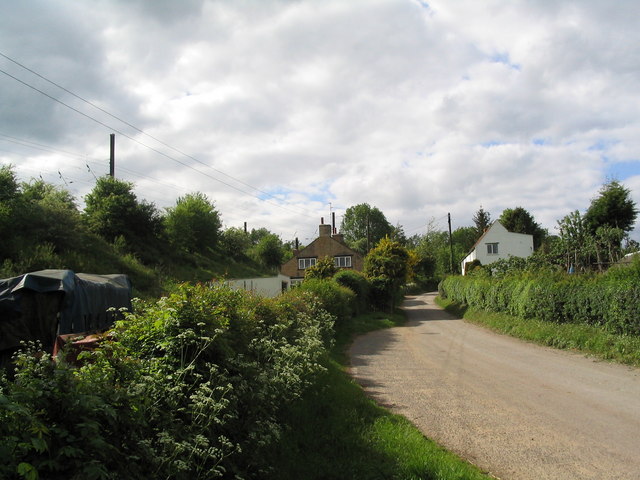
///player.pens.depth. Near Bourne, Lincolnshire

Related Wikis

Vaudey Abbey

Vaudey Abbey , also known as Vandy Abbey or Vandey Abbey, was an English Cistercian abbey. It was founded in 1147 by William, Count of Aumale, Earl of...

South Kesteven Rural District

South Kesteven was a rural district in Lincolnshire, Parts of Kesteven in England from 1931 to 1974. It was formed under a County Review Order in 1931...

Bourne Rural District

Bourne was a rural district in Lincolnshire, Parts of Kesteven from 1894 to 1931. It was created by the Local Government Act 1894 based on the Bourne rural...

Counthorpe

Counthorpe is a hamlet in the civil parish of Counthorpe and Creeton in the South Kesteven district of Lincolnshire, England. It adjoins the hamlet of...

Creeton

Creeton is a hamlet in the civil parish of Counthorpe and Creeton in the South Kesteven district of Lincolnshire, England. It is situated 3 miles (5 km...

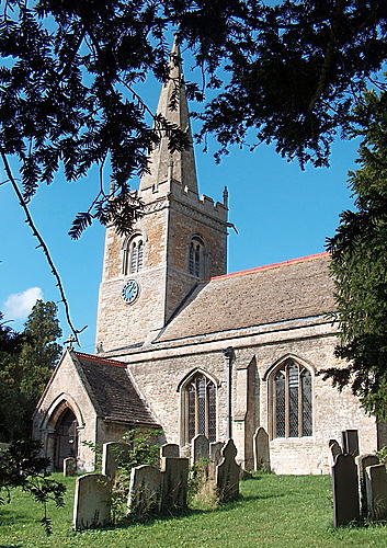
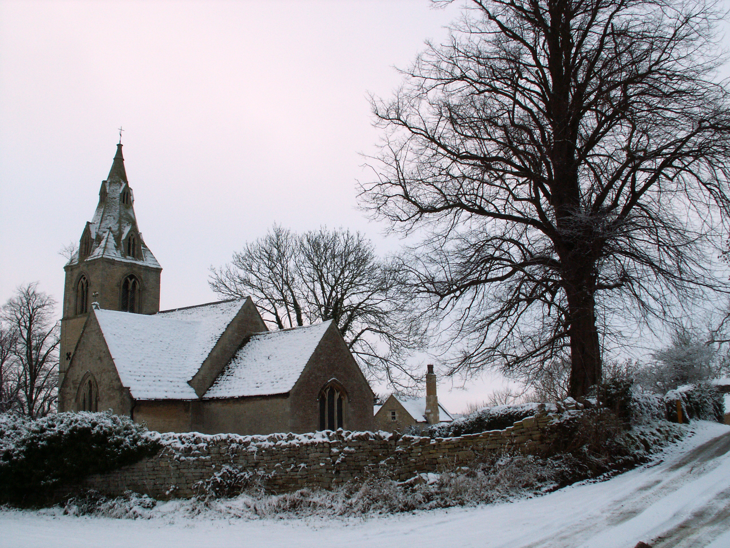
St Medardus and St Gildardus Church, Little Bytham

The church of St Medardus and St Gildardus in Little Bytham, Lincolnshire, England, is a Grade I listed building. It is dedicated to two 6th-century French...

Little Bytham

Little Bytham is a village and civil parish in the South Kesteven district of Lincolnshire, England. The population of the civil parish at the 2011 census...
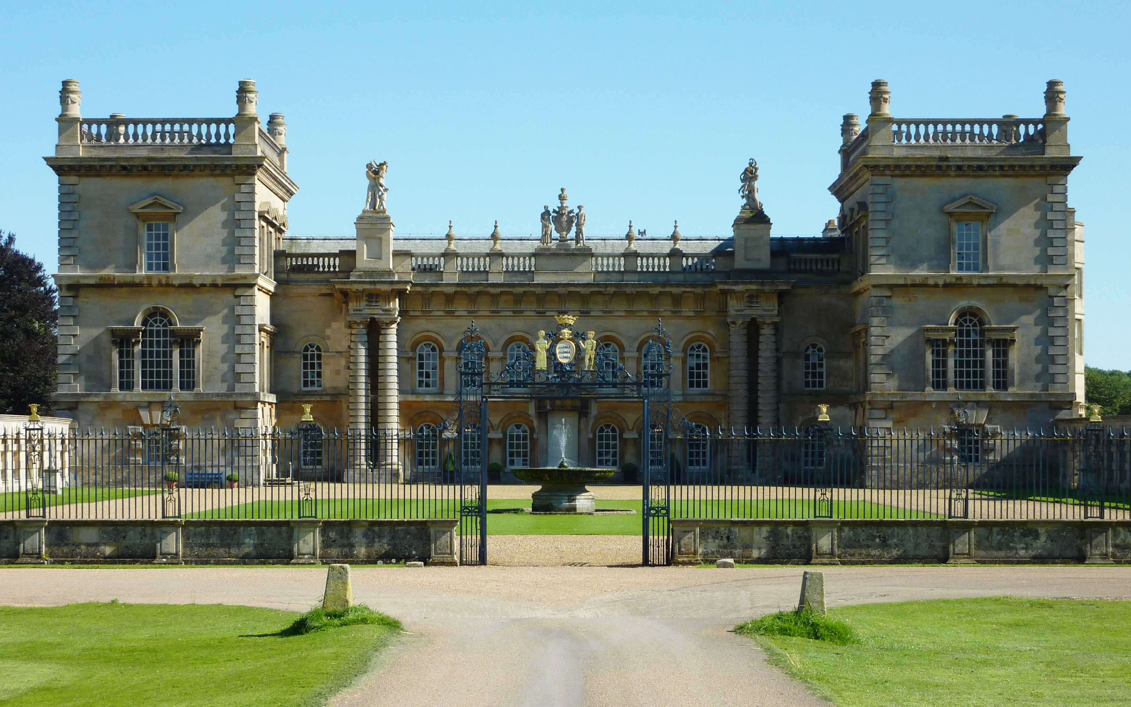
Grimsthorpe Castle

Grimsthorpe Castle is a country house in Lincolnshire, England 4 miles (6.4 km) north-west of Bourne on the A151. It lies within a 3,000 acre (12 km2)...

Nearby Amenities

Located within 500m of 52.76614,-0.4650603
Pebble Gate
Place: locality
Lat/Long: 52.7683189/-0.4643226
The data included in this document is from www.openstreetmap.org. The data is made available under ODbL.

Have you been to Elsea Wood?

Leave your review of Elsea Wood below (or comments, questions and feedback).