Herring's Plantation
Wood, Forest in Lincolnshire South Kesteven
England
Herring's Plantation
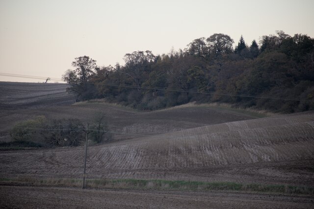
Herring's Plantation is a historic woodland located in Lincolnshire, England. Covering an area of approximately 200 acres, it is known for its rich biodiversity and natural beauty. The plantation is situated within the larger Wood, Forest, which spans across several small villages and towns.
The woodland is predominantly composed of a variety of tree species, including oak, beech, ash, and birch. These trees provide a diverse ecosystem, supporting a wide range of flora and fauna. Herring's Plantation is particularly well-known for its carpet of bluebells that bloom in the spring, creating a stunning display of vibrant colors.
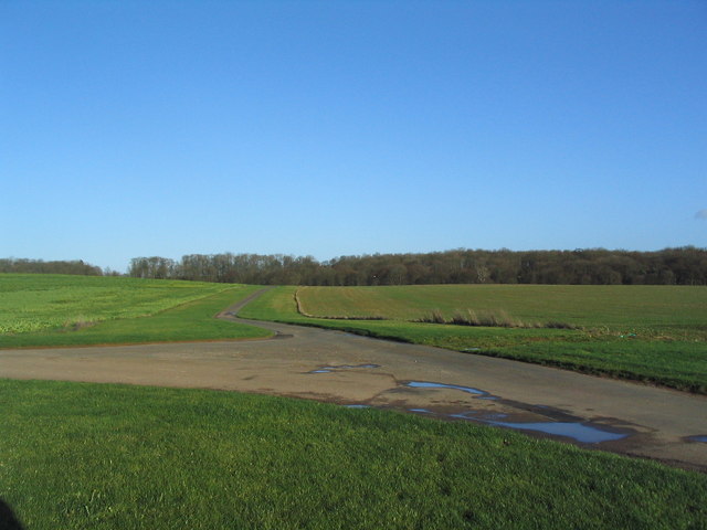
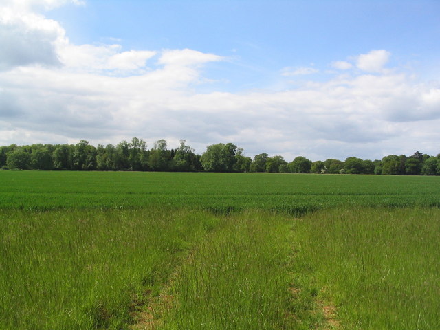
Numerous walking trails and paths wind through the woodland, allowing visitors to explore its picturesque surroundings. The plantation is a popular destination for nature enthusiasts, hikers, and photographers, who come to admire the scenic landscapes and capture its beauty.
Aside from its natural attractions, Herring's Plantation also holds historical significance. It is believed to have been used for timber production in the past, contributing to the local economy. The remnants of old timber mills and sawpits can still be found within the woodland, providing a glimpse into its industrial past.
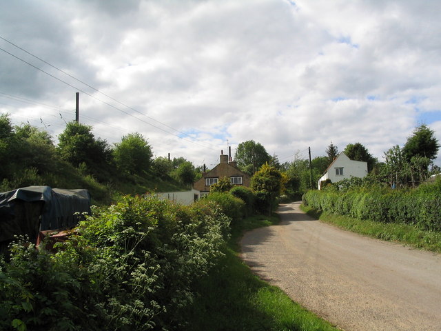
Overall, Herring's Plantation in Lincolnshire offers a serene and tranquil environment for visitors to immerse themselves in nature, enjoy outdoor activities, and appreciate the area's natural and historical heritage.
If you have any feedback on the listing, please let us know in the comments section below.
Herring's Plantation Images
Images are sourced within 2km of 52.759738/-0.4705612 or Grid Reference TF0319. Thanks to Geograph Open Source API. All images are credited.


Herring's Plantation is located at Grid Ref: TF0319 (Lat: 52.759738, Lng: -0.4705612)
Administrative County: Lincolnshire
District: South Kesteven
Police Authority: Lincolnshire
What 3 Words
///forum.teacher.parked. Near Bourne, Lincolnshire
Nearby Locations
Related Wikis

Bourne Rural District
Bourne was a rural district in Lincolnshire, Parts of Kesteven from 1894 to 1931. It was created by the Local Government Act 1894 based on the Bourne rural...
Counthorpe
Counthorpe is a hamlet in the civil parish of Counthorpe and Creeton in the South Kesteven district of Lincolnshire, England. It adjoins the hamlet of...
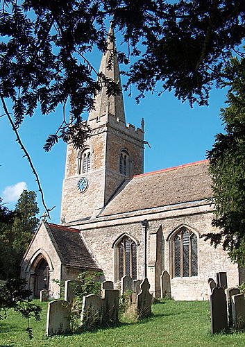
St Medardus and St Gildardus Church, Little Bytham
The church of St Medardus and St Gildardus in Little Bytham, Lincolnshire, England, is a Grade I listed building. It is dedicated to two 6th-century French...
Creeton
Creeton is a hamlet in the civil parish of Counthorpe and Creeton in the South Kesteven district of Lincolnshire, England. It is situated 3 miles (5 km...
Little Bytham
Little Bytham is a village and civil parish in the South Kesteven district of Lincolnshire, England. The population of the civil parish at the 2011 census...

Little Bytham railway station
Little Bytham railway station was a station in Little Bytham, Lincolnshire on the Great Northern Railway main line. It closed in 1959. The Midland and...
Vaudey Abbey
Vaudey Abbey , also known as Vandy Abbey or Vandey Abbey, was an English Cistercian abbey. It was founded in 1147 by William, Count of Aumale, Earl of...
South Kesteven Rural District
South Kesteven was a rural district in Lincolnshire, Parts of Kesteven in England from 1931 to 1974. It was formed under a County Review Order in 1931...
Nearby Amenities
Located within 500m of 52.759738,-0.4705612Have you been to Herring's Plantation?
Leave your review of Herring's Plantation below (or comments, questions and feedback).