Little Norwood
Wood, Forest in Lincolnshire South Kesteven
England
Little Norwood

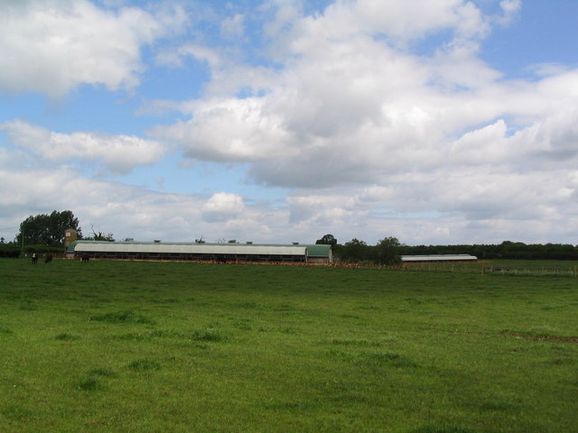
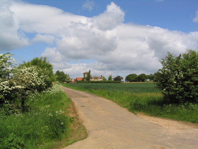
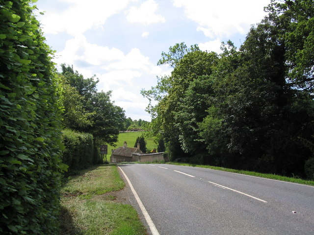
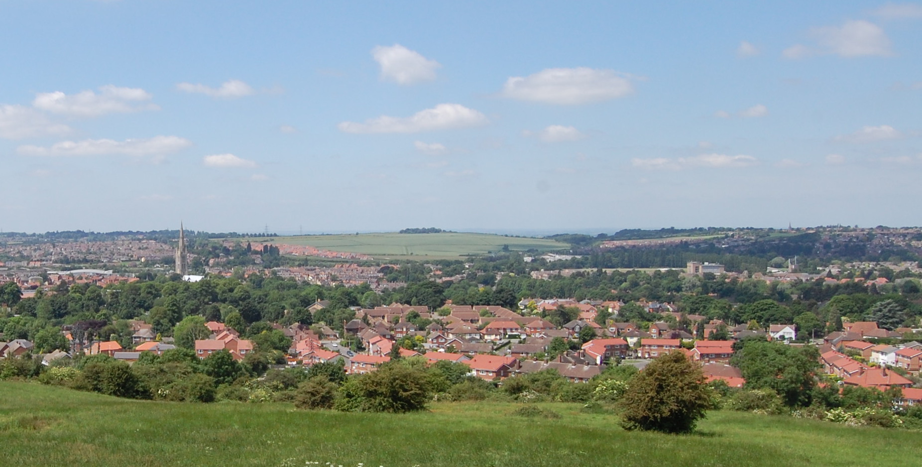
Little Norwood is a small rural village located in the county of Lincolnshire, England. Situated in the heart of the Lincolnshire Wolds, it is known for its picturesque landscapes and tranquil atmosphere. The village is surrounded by lush greenery, dense woodlands, and rolling hills, making it an ideal destination for nature enthusiasts and those seeking a peaceful retreat.
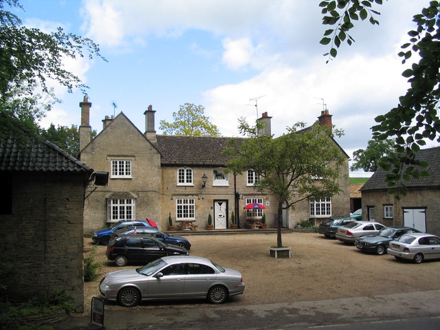
Despite its small size, Little Norwood boasts a rich history that dates back centuries. The village is home to several historical landmarks, including a charming medieval church that showcases stunning architectural features. The church serves as a reminder of the village's past and offers visitors a glimpse into its heritage.
The community in Little Norwood is close-knit and friendly, with a population of around 200 residents. The village maintains a strong sense of community spirit, organizing various events and gatherings throughout the year. These events often celebrate local traditions and provide an opportunity for residents to come together and connect.
In terms of amenities, Little Norwood offers limited facilities within its boundaries. However, the nearby towns of Louth and Horncastle provide a range of services including shops, schools, and healthcare facilities. These towns are easily accessible from the village, making it convenient for residents to meet their daily needs.
Overall, Little Norwood is a charming rural village that offers a peaceful and idyllic lifestyle. With its breathtaking natural surroundings and strong community spirit, it is a place where residents can enjoy a slower pace of life and embrace the beauty of the Lincolnshire countryside.
If you have any feedback on the listing, please let us know in the comments section below.
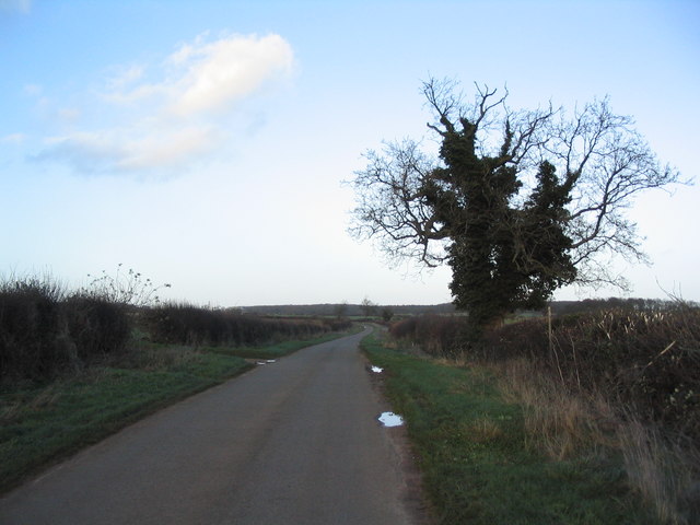
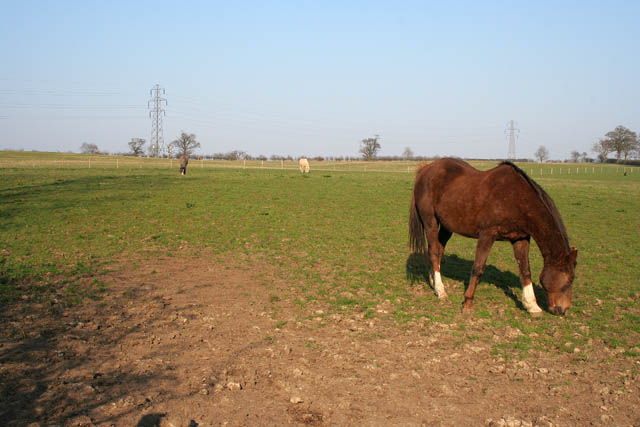
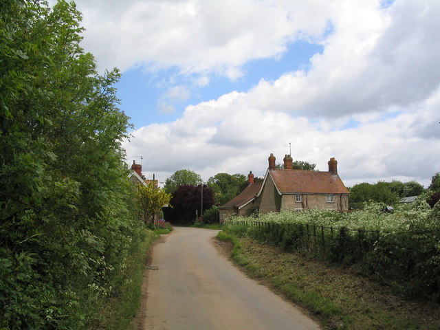
Little Norwood Images
Images are sourced within 2km of 52.8104/-0.4651635 or Grid Reference TF0324. Thanks to Geograph Open Source API. All images are credited.


Little Norwood is located at Grid Ref: TF0324 (Lat: 52.8104, Lng: -0.4651635)
Administrative County: Lincolnshire
District: South Kesteven
Police Authority: Lincolnshire
What 3 Words
///costs.northward.eyelid. Near Corby Glen, Lincolnshire
Nearby Locations
Related Wikis
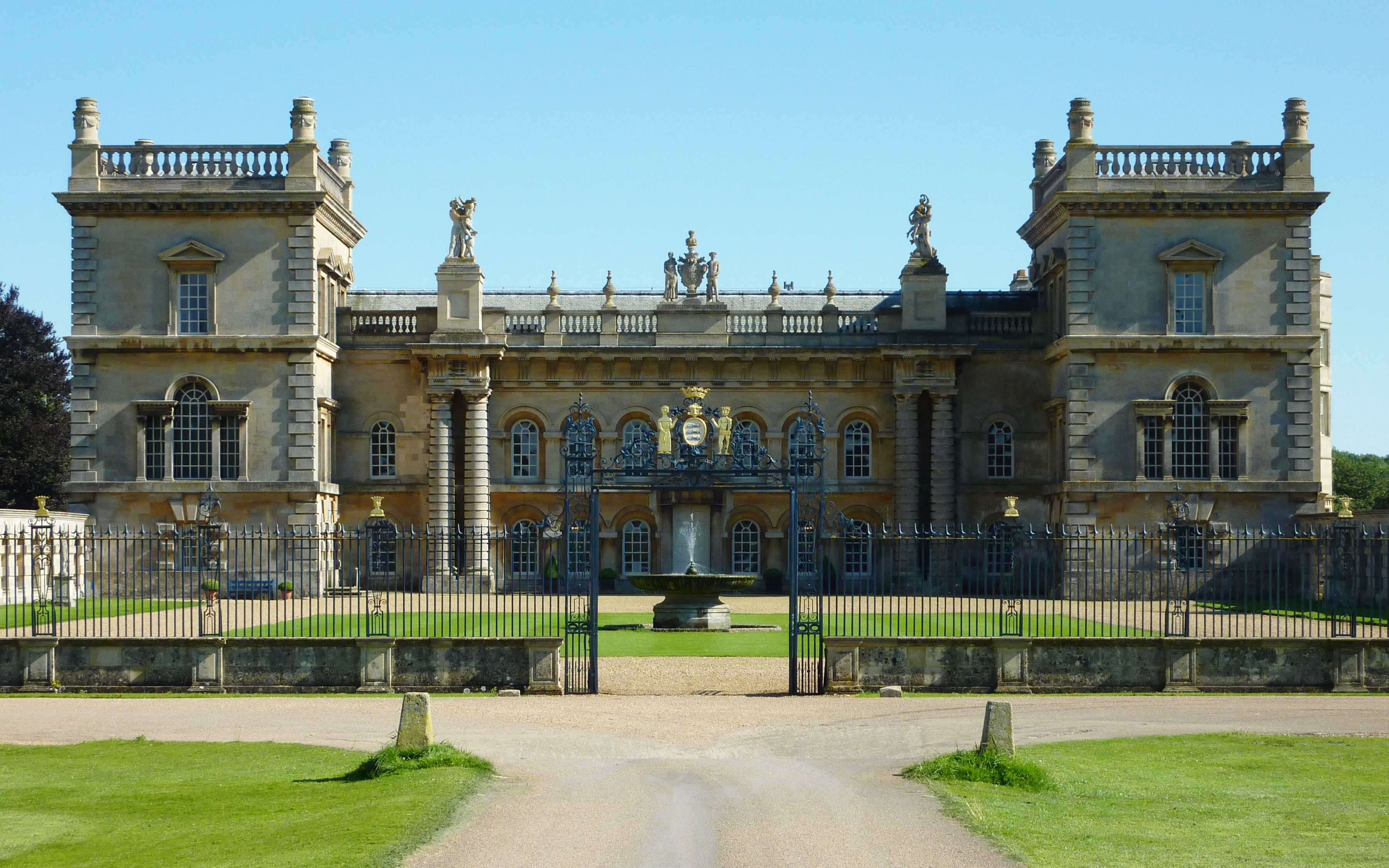
Grimsthorpe Castle
Grimsthorpe Castle is a country house in Lincolnshire, England 4 miles (6.4 km) north-west of Bourne on the A151. It lies within a 3,000 acre (12 km2)...

Grimsthorpe
Grimsthorpe is a hamlet in the South Kesteven district of Lincolnshire, England. It is situated on the A151 road, and 3 miles (5 km) north-west from Bourne...

Bulby
Bulby is a hamlet in the South Kesteven district of Lincolnshire, England, and in the civil parish of Irnham, Bulby and Hawthorpe. The village is situated...

Irnham
Irnham is a village and civil parish in South Kesteven, Lincolnshire, England. It is situated approximately 10 miles (16 km) south-east from Grantham...
Elsthorpe
Elsthorpe is a hamlet in the South Kesteven district of Lincolnshire, England. It is situated 5 miles (8 km) north-west from the town of Bourne, and in...
South Kesteven
South Kesteven is a local government district in Lincolnshire, England, forming part of the traditional Kesteven division of the county. Its council is...

Grantham and Stamford (UK Parliament constituency)
Grantham and Stamford is a constituency in Lincolnshire represented in the House of Commons of the UK Parliament since 2019 by Gareth Davies, a Conservative...

Swinstead
Swinstead is a village and civil parish in the South Kesteven district of Lincolnshire, England. It is situated 5 miles (8.0 km) west from Bourne, 9 miles...
Nearby Amenities
Located within 500m of 52.8104,-0.4651635Have you been to Little Norwood?
Leave your review of Little Norwood below (or comments, questions and feedback).