Crow Wood
Wood, Forest in Lincolnshire South Kesteven
England
Crow Wood

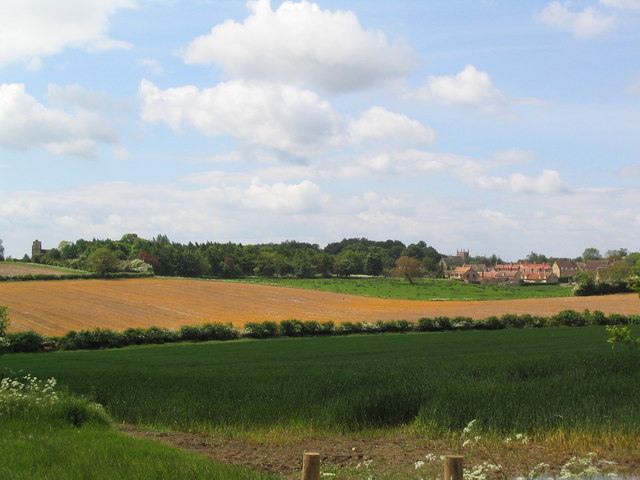
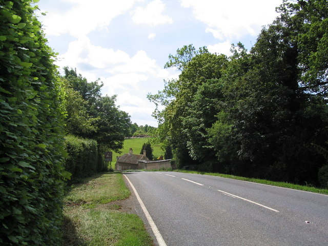
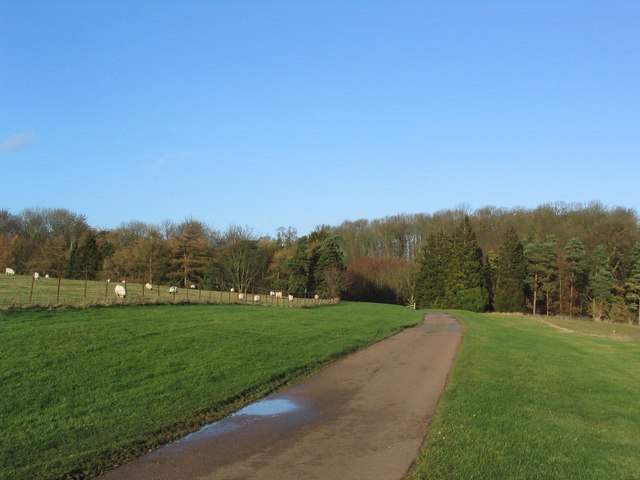
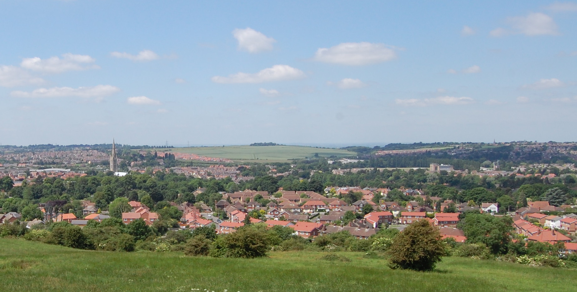
Crow Wood is a picturesque woodland located in the county of Lincolnshire, England. This enchanting forest is situated just outside the small village of Crowle and covers an area of approximately 200 acres. With its diverse range of flora and fauna, Crow Wood is a haven for nature enthusiasts and provides a peaceful retreat for visitors.
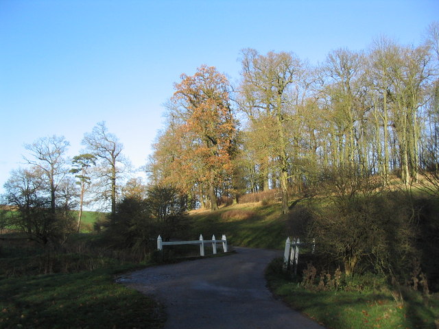
The wood is predominantly composed of native broadleaf trees such as oak, birch, and beech, creating a rich and vibrant canopy that stretches across the landscape. The forest floor is adorned with a carpet of wildflowers, including bluebells and primroses, which bloom in a riot of colors during the spring months.
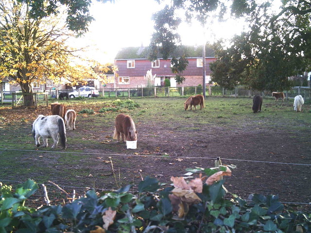
Crow Wood is not only home to an array of plant life but also provides a habitat for various wildlife species. Nature lovers can spot numerous woodland creatures, including red squirrels, badgers, foxes, and a variety of bird species such as woodpeckers and owls. The presence of these animals adds to the charm and tranquility of the woodland.
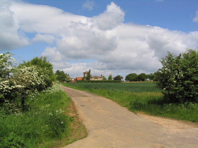
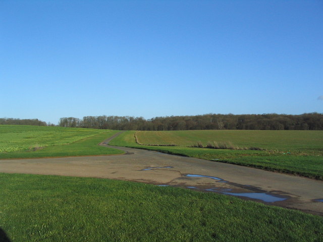
Visitors to Crow Wood can enjoy a number of activities, including walking along the well-maintained trails that wind through the forest. These paths offer stunning views of the surrounding countryside and provide an opportunity to immerse oneself in the beauty of nature. There are also designated picnic areas where visitors can relax and enjoy a leisurely lunch amidst the peaceful surroundings.
Overall, Crow Wood is a delightful woodland that offers a captivating glimpse into the natural beauty of Lincolnshire. Whether exploring its trails, observing its wildlife, or simply enjoying a moment of solitude, this forest is a must-visit destination for nature enthusiasts and those seeking a tranquil escape.
If you have any feedback on the listing, please let us know in the comments section below.
Crow Wood Images
Images are sourced within 2km of 52.78895/-0.47358541 or Grid Reference TF0322. Thanks to Geograph Open Source API. All images are credited.


Crow Wood is located at Grid Ref: TF0322 (Lat: 52.78895, Lng: -0.47358541)
Administrative County: Lincolnshire
District: South Kesteven
Police Authority: Lincolnshire
What 3 Words
///covers.helpers.indicated. Near Corby Glen, Lincolnshire
Nearby Locations
Related Wikis

Vaudey Abbey
Vaudey Abbey , also known as Vandy Abbey or Vandey Abbey, was an English Cistercian abbey. It was founded in 1147 by William, Count of Aumale, Earl of...

Swinstead
Swinstead is a village and civil parish in the South Kesteven district of Lincolnshire, England. It is situated 5 miles (8.0 km) west from Bourne, 9 miles...
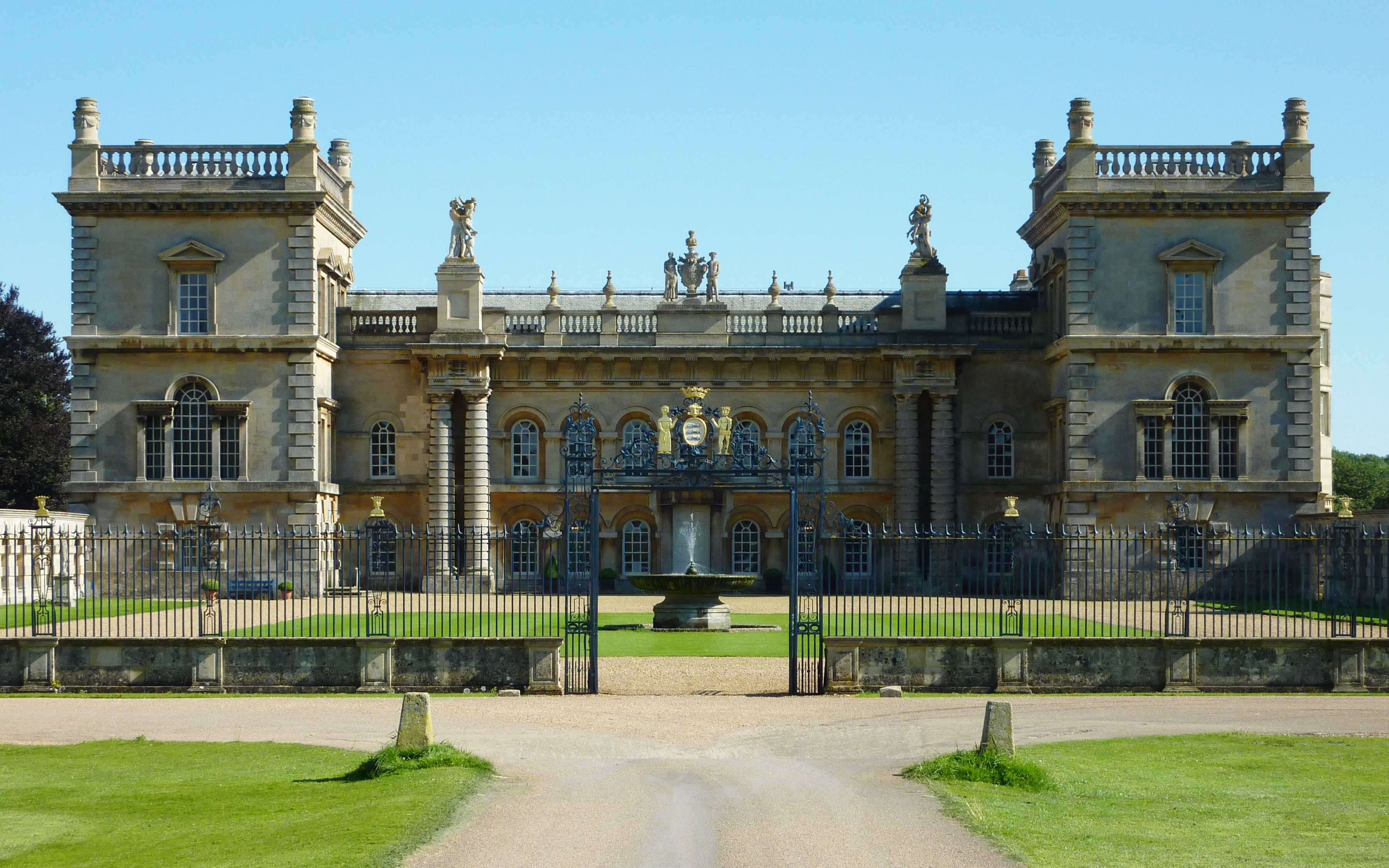
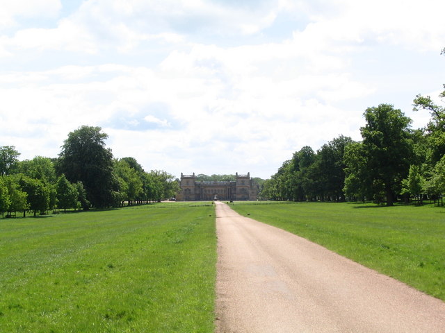
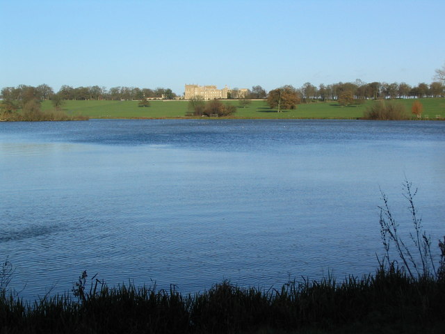
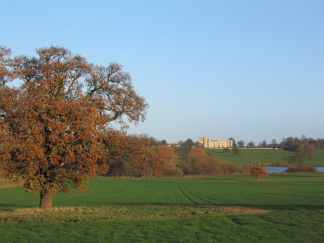
Grimsthorpe Castle
Grimsthorpe Castle is a country house in Lincolnshire, England 4 miles (6.4 km) north-west of Bourne on the A151. It lies within a 3,000 acre (12 km2)...
South Kesteven Rural District
South Kesteven was a rural district in Lincolnshire, Parts of Kesteven in England from 1931 to 1974. It was formed under a County Review Order in 1931...

Grimsthorpe
Grimsthorpe is a hamlet in the South Kesteven district of Lincolnshire, England. It is situated on the A151 road, and 3 miles (5 km) north-west from Bourne...
South Kesteven
South Kesteven is a local government district in Lincolnshire, England, forming part of the traditional Kesteven division of the county. Its council is...

Grantham and Stamford (UK Parliament constituency)
Grantham and Stamford is a constituency in Lincolnshire represented in the House of Commons of the UK Parliament since 2019 by Gareth Davies, a Conservative...

Edenham railway station
Edenham railway station was a station in Edenham, Lincolnshire. It was the terminus of a four-mile branch line from the Great Northern Railway at Little...
Nearby Amenities
Located within 500m of 52.78895,-0.47358541Have you been to Crow Wood?
Leave your review of Crow Wood below (or comments, questions and feedback).