Hillside Plantation
Wood, Forest in Lincolnshire North Kesteven
England
Hillside Plantation

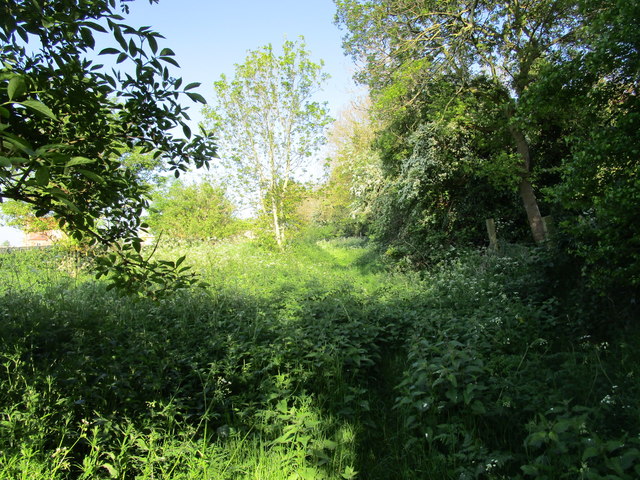
Hillside Plantation is a picturesque woodland area located in Lincolnshire, England. It is known for its stunning natural beauty and diverse range of plant and animal species. Covering a vast area of approximately 300 acres, Hillside Plantation offers visitors a serene and tranquil environment to explore.
The woodland is primarily composed of a mix of deciduous and coniferous trees, including oak, beech, pine, and spruce. These trees create a dense canopy that provides shade and shelter for a variety of wildlife. Visitors can expect to see a wide array of bird species, such as woodpeckers, owls, and thrushes, as well as small mammals like rabbits, squirrels, and foxes.
Hillside Plantation offers a network of well-maintained walking trails, allowing visitors to fully immerse themselves in the natural surroundings. These trails wind through the woodland, offering breathtaking views of the rolling hills and lush greenery.
The plantation is also home to a diverse range of plant species, including bluebells, ferns, and wildflowers, which carpet the forest floor during the spring and summer months. This creates a vibrant and colorful display that enchants visitors.
Visitors to Hillside Plantation can also take part in various recreational activities, such as picnicking, nature photography, and wildlife spotting. The tranquil atmosphere and beautiful surroundings make it an ideal destination for those seeking a peaceful escape from the hustle and bustle of everyday life.
Overall, Hillside Plantation in Lincolnshire is a natural oasis that offers visitors a chance to connect with nature and experience the beauty of the English countryside.
If you have any feedback on the listing, please let us know in the comments section below.
Hillside Plantation Images
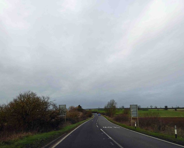
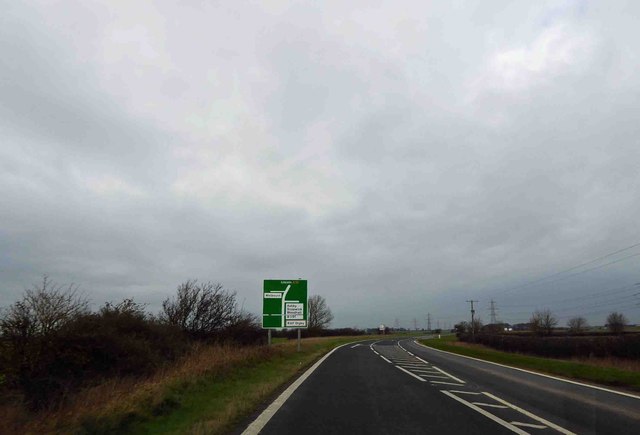
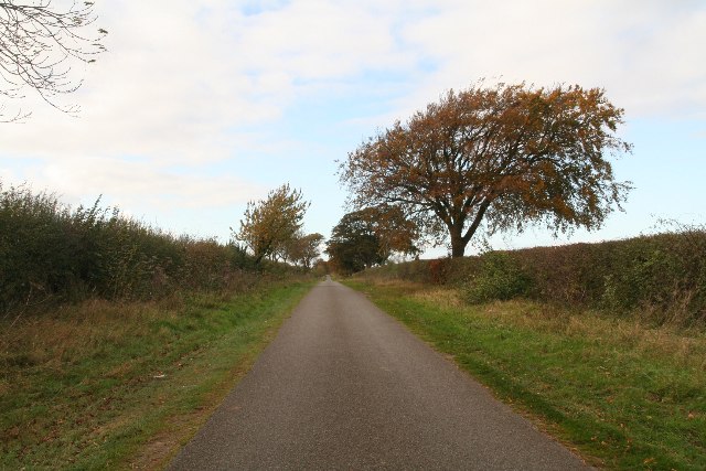
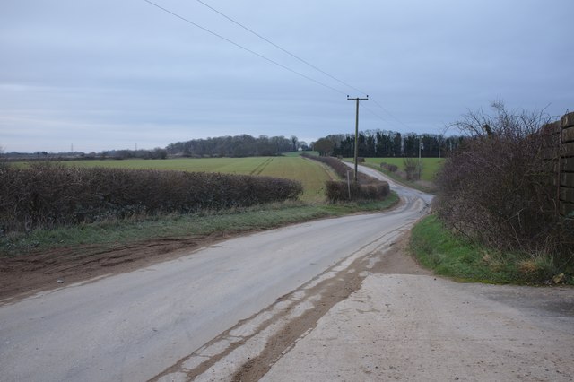
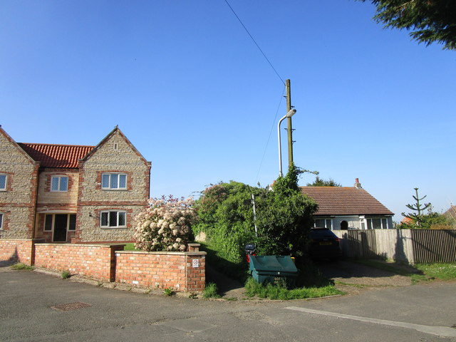
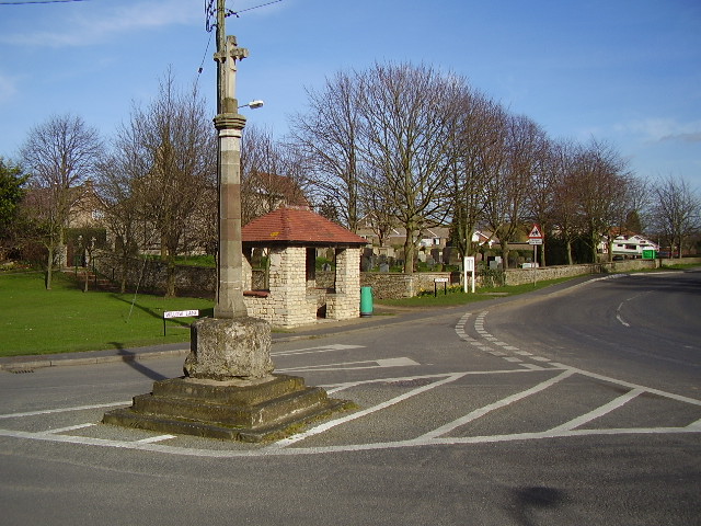
Images are sourced within 2km of 53.052312/-0.4654889 or Grid Reference TF0251. Thanks to Geograph Open Source API. All images are credited.


Hillside Plantation is located at Grid Ref: TF0251 (Lat: 53.052312, Lng: -0.4654889)
Administrative County: Lincolnshire
District: North Kesteven
Police Authority: Lincolnshire
What 3 Words
///cute.cities.firebird. Near Cranwell, Lincolnshire
Nearby Locations
Related Wikis

Brauncewell
Brauncewell is a hamlet and former civil parish in the North Kesteven district of Lincolnshire, England. From the census 2011 the population is included...
Cranwell
Cranwell is a village in the civil parish of Cranwell, Brauncewell and Byard's Leap, in the North Kesteven district of Lincolnshire, England. It is situated...

Sleaford and North Hykeham (UK Parliament constituency)
Sleaford and North Hykeham is a parliamentary constituency in Lincolnshire, England which elects a single Member of Parliament (MP) to the House of Commons...

RAF Cranwell
Royal Air Force Cranwell or more simply RAF Cranwell (ICAO: EGYD) is a Royal Air Force station in Lincolnshire, England, close to the village of Cranwell...
Nearby Amenities
Located within 500m of 53.052312,-0.4654889Have you been to Hillside Plantation?
Leave your review of Hillside Plantation below (or comments, questions and feedback).