Crossroads Spinney

Wood, Forest in Lincolnshire South Kesteven

England

Crossroads Spinney

The Drift at its junction with the B1176 road Looking north-eastward.
The Drift at its junction with the B1176 road Credit: Peter Wood

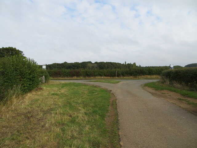
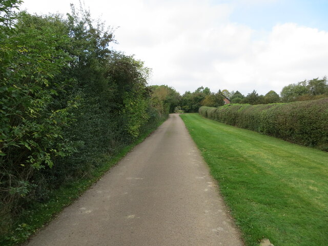
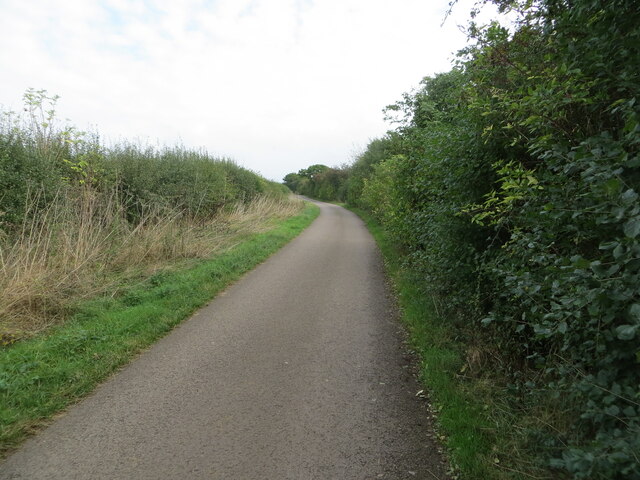
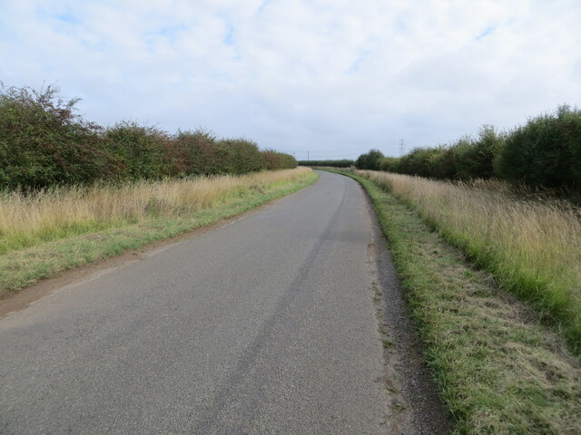
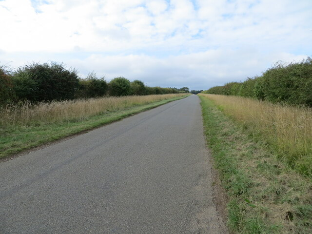
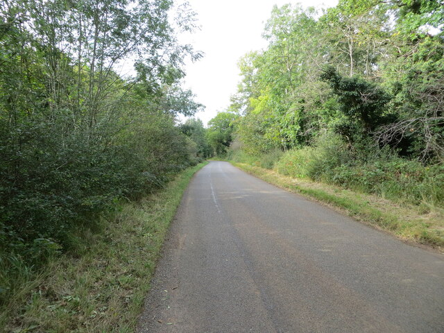
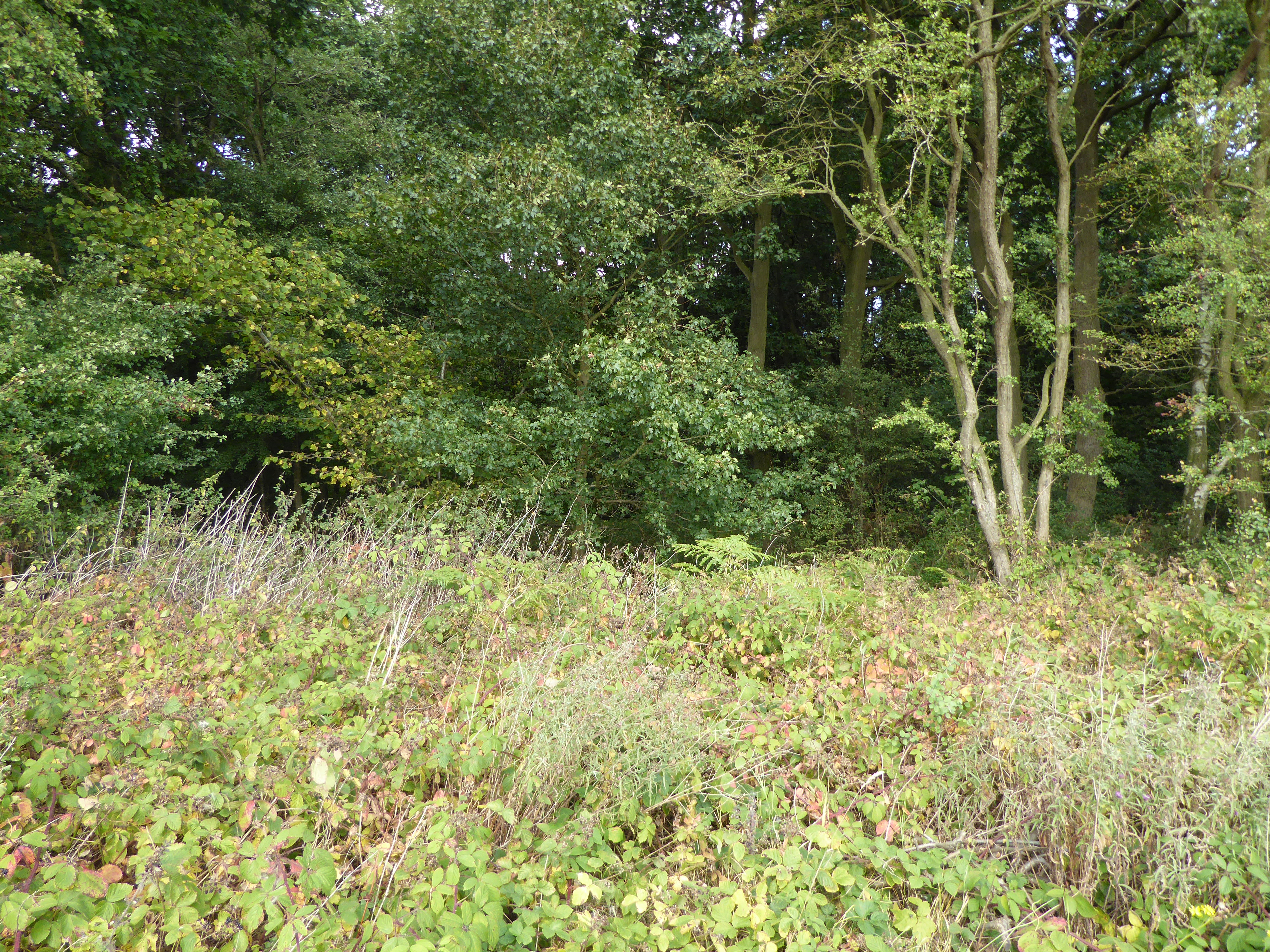
Crossroads Spinney in Lincolnshire is a small wood located near the village of Crossroads. It is nestled in the scenic countryside and is a popular destination for nature enthusiasts and outdoor lovers. The wood covers an area of approximately 10 acres and is characterized by its dense vegetation and towering trees.

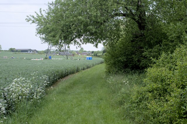
The Spinney is home to a variety of tree species, including oak, beech, and birch, creating a diverse and vibrant canopy. The forest floor is adorned with a carpet of bluebells in the spring, adding to its picturesque beauty. The wood is also known for its rich wildlife, with sightings of deer, foxes, and numerous bird species being common.

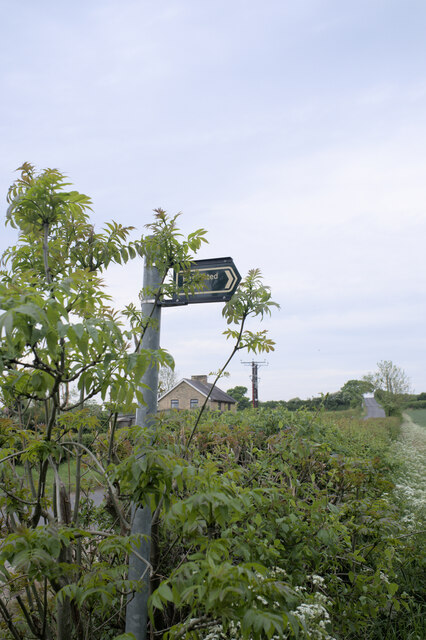
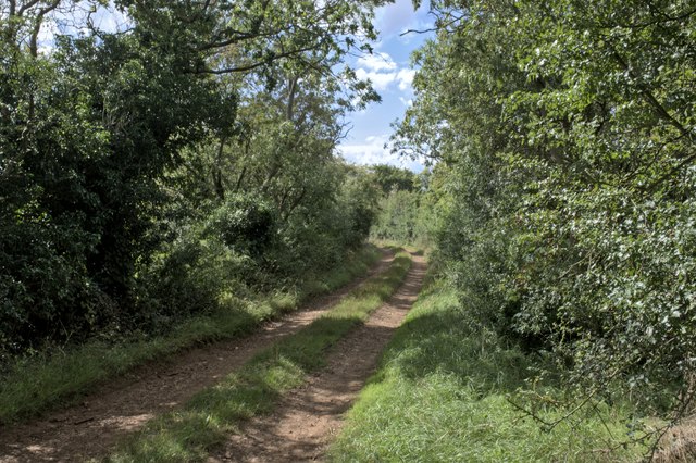
The wood is crisscrossed by a network of footpaths, allowing visitors to explore its scenic trails. These paths wind through the trees, providing a tranquil and peaceful environment for walkers, joggers, and dog owners. Along the way, benches can be found, offering a spot for relaxation and contemplation.

Crossroads Spinney also offers educational opportunities, with local schools often organizing field trips to learn about the local flora and fauna. The wood is managed by a dedicated team of conservationists who work to preserve its natural beauty and protect the wildlife within.

Overall, Crossroads Spinney is a charming and idyllic wood in Lincolnshire, offering a peaceful escape from the hustle and bustle of daily life. With its diverse ecosystem and scenic trails, it provides a delightful experience for nature lovers and a haven for wildlife.

If you have any feedback on the listing, please let us know in the comments section below.

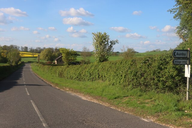
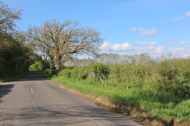
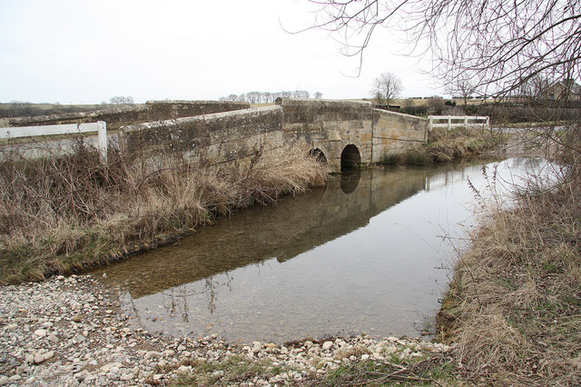
Crossroads Spinney Images

Images are sourced within 2km of 52.711298/-0.47758488 or Grid Reference TF0213. Thanks to Geograph Open Source API. All images are credited.

The Drift at its junction with the B1176 road Looking north-eastward.
The Drift at its junction with the B1176 road
Looking north-eastward.
The Drift as a public road ends here but continues as a by-way Looking north-westward
The Drift as a public road ends here but continues as a by-way
Looking north-westward
The Drift near to Clay Hill Looking south-eastward.
The Drift near to Clay Hill
Looking south-eastward.
Road heading towards Vale Farm Looking south-eastward.
Road heading towards Vale Farm
Looking south-eastward.
Road heading towards Little Warren and Castle Dyke Looking north-westward.
Road heading towards Little Warren and Castle Dyke
Looking north-westward.
Tree and hedge enclosed road at Little Warren Wood Looking north-westward.
Tree and hedge enclosed road at Little Warren Wood
Looking north-westward.
A flag for Ukraine There is a lot of solidarity in the UK with the people of the Ukraine, beset with evil invaders.
A flag for Ukraine
There is a lot of solidarity in the UK with the people of the Ukraine, beset with evil invaders.
Restricted Byway Sections 47-50 of the 2000 Act introduce a new category of highway called 
the “restricted byway”. A restricted byway is defined as a highway over which 
the public have restricted byway rights, with or without the right to drive 
animals of any description.  This replaced the concept of a "road used as a public path".

This track is a restricted byway.  See <a href="https://www.geograph.org.uk/photo/7175487">TF0214 : Restricted Byway sign</a>.

A little further on is the camp for one of the wire-pulling bases used to re-string the 400kV line through Lincolnshire
Restricted Byway
Sections 47-50 of the 2000 Act introduce a new category of highway called the “restricted byway”. A restricted byway is defined as a highway over which the public have restricted byway rights, with or without the right to drive animals of any description. This replaced the concept of a "road used as a public path". This track is a restricted byway. See TF0214 : Restricted Byway sign. A little further on is the camp for one of the wire-pulling bases used to re-string the 400kV line through Lincolnshire
Criss-Cross Patterns against the sky of the wires and structure of a pylon, including (on the right) a pulling platform used for changing the wires.
Criss-Cross
Patterns against the sky of the wires and structure of a pylon, including (on the right) a pulling platform used for changing the wires.
Restricted Byway sign Sections 47-50 of the 2000 Act introduced a new category of highway called 
the “restricted byway”. A restricted byway is defined as a highway over which 
the public have restricted byway rights, with or without the right to drive 
animals of any description.  No motorised vehicles are permitted.
Restricted Byway sign
Sections 47-50 of the 2000 Act introduced a new category of highway called the “restricted byway”. A restricted byway is defined as a highway over which the public have restricted byway rights, with or without the right to drive animals of any description. No motorised vehicles are permitted.
Village Green at Essendine
Stamford Road, Aunby
Pylon by the B1176 north of Ryhall
Stamford Road south of Careby
The Drift changes At this point The Drift loses its artificially metalled surface, and becomes a grass-centred track on the natural geology - the red soil that gives Rutland its name.
The Drift changes
At this point The Drift loses its artificially metalled surface, and becomes a grass-centred track on the natural geology - the red soil that gives Rutland its name.
Wheatfield A huge field, now harvested, usually used for growing wheat.
Wheatfield
A huge field, now harvested, usually used for growing wheat.
All is safely gathered in The harvest is complete and, in the distance, the straw is gathered and stacked.
All is safely gathered in
The harvest is complete and, in the distance, the straw is gathered and stacked.
Along The Drift Looking South-East along the track
Along The Drift
Looking South-East along the track
Show me another place!

Crossroads Spinney is located at Grid Ref: TF0213 (Lat: 52.711298, Lng: -0.47758488)

Administrative County: Lincolnshire

District: South Kesteven

Police Authority: Lincolnshire

What 3 Words

///shoulders.panics.vest. Near Essendine, Rutland

Nearby Locations

Crossroads Spinney

Related Wikis

Ryhall Pasture and Little Warren Verges

Ryhall Pasture and Little Warren Verges is a 6.2-hectare (15-acre) biological Site of Special Scientific Interest north of the village of Ryhall. Little...

Aunby

Aunby is a village in the parish of Careby Aunby and Holywell, in the South Kesteven district of Lincolnshire, England. It is situated north from Stamford...

Essendine

Essendine is a village and civil parish at the eastern end of the county of Rutland in the East Midlands of England, located 5 miles (7 km) north of Stamford...

Essendine railway station

Essendine railway station was a station in Essendine, Rutland. It was situated on the East Coast Main Line of the Great Northern Railway. == Overview... ==

Carlby

Carlby is a small village and civil parish in the district of South Kesteven in Lincolnshire, England. The population of the civil parish at the 2011 census...

Church of St Mary Magdalene, Essendine

The Church of St Mary Magdalene is a church in Essendine, Rutland. It is a Grade II* listed building. == History == The small church is built within the...

Careby Aunby and Holywell

Careby Aunby and Holywell is a civil parish in the district of South Kesteven, south-west Lincolnshire, in England. It stretches from the county border...

Newell Wood

Newell Wood is a 33.3-hectare (82-acre) biological Site of Special Scientific Interest east of Pickworth in Rutland, adjacent to Lincolnshire Gate. This...

Nearby Amenities

Located within 500m of 52.711298,-0.47758488
Design: barrel
Line Attachment: suspension
Material: steel
Power: tower
Structure: lattice
Lat/Long: 52.7132161/-0.4808921
Design: barrel
Line Attachment: suspension
Material: steel
Power: tower
Structure: lattice
Lat/Long: 52.710257/-0.4797282
Barbers Hill Farm
Alt Name: Barbershill Farm
Place: farm
Source: Bing
Lat/Long: 52.7137591/-0.4785511
Barber's Hill
Place: locality
Source: Bing
Lat/Long: 52.7150005/-0.4815459
Vale Farm
Place: farm
Source: Bing
Lat/Long: 52.7107581/-0.4809717
Building: yes
Lat/Long: 52.7107738/-0.4744376
The data included in this document is from www.openstreetmap.org. The data is made available under ODbL.

Have you been to Crossroads Spinney?

Leave your review of Crossroads Spinney below (or comments, questions and feedback).