Warren Plantation
Wood, Forest in Lincolnshire North Kesteven
England
Warren Plantation
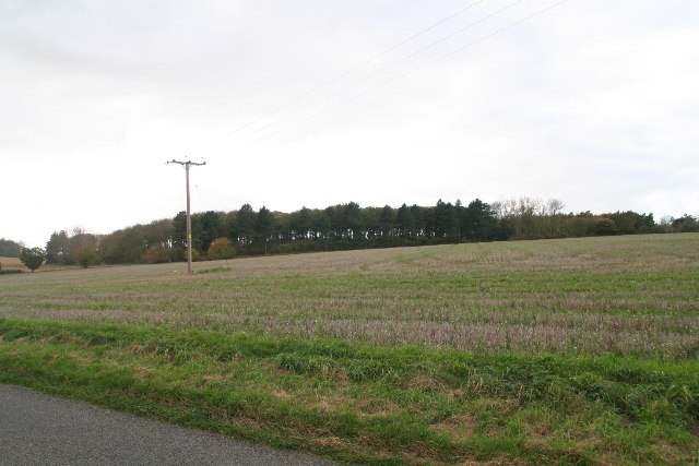
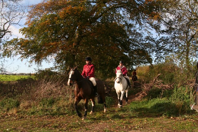
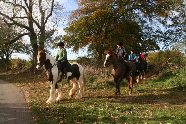
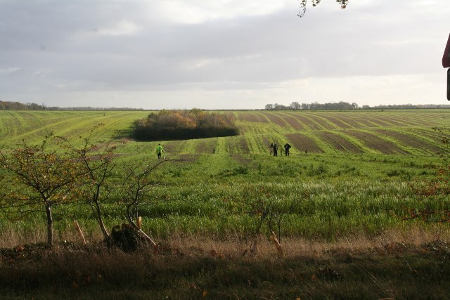
Warren Plantation is a picturesque and expansive woodland located in Lincolnshire, England. Spanning across acres of rolling hills and lush greenery, it is a haven for nature enthusiasts, hikers, and those seeking tranquility amidst the beauty of the natural world.
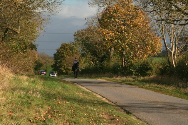
The plantation is predominantly made up of various species of trees, including oak, beech, and birch, which form a dense canopy overhead. This creates a serene atmosphere, with dappled sunlight filtering through the branches, casting enchanting patterns on the forest floor.
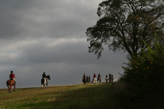
As visitors explore the woodland, they will discover a diverse ecosystem teeming with wildlife. Squirrels scamper through the undergrowth, while a chorus of birdsong fills the air. Rare and protected species such as the red kite and the silver-washed fritillary butterfly can also be spotted here.
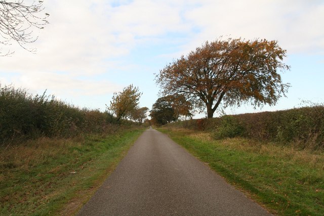
The plantation offers a network of well-maintained footpaths, allowing visitors to navigate through the woodland easily. There are also designated picnic areas, providing the perfect spot to enjoy a leisurely lunch surrounded by the sights and sounds of nature. Additionally, the plantation boasts a small lake, where visitors can relax and observe the resident ducks and swans.
Warren Plantation is open to the public year-round, with the changing seasons offering a unique experience each visit. In spring, vibrant bluebells carpet the forest floor, while in autumn, the trees showcase a stunning array of golden hues.
Overall, Warren Plantation is a true gem in Lincolnshire, offering a tranquil retreat for nature lovers and a chance to immerse oneself in the captivating beauty of England's woodlands.
If you have any feedback on the listing, please let us know in the comments section below.
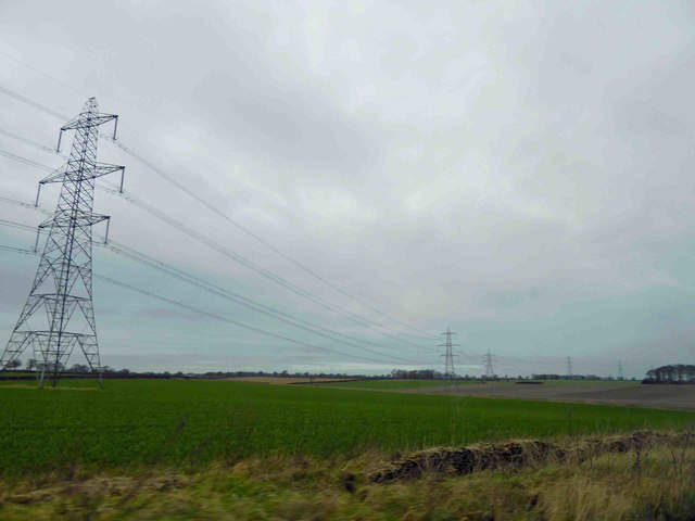
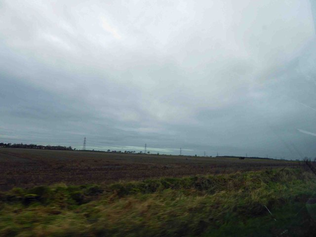
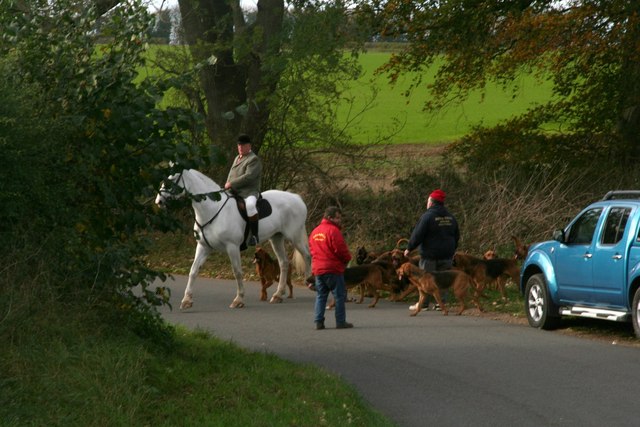
Warren Plantation Images
Images are sourced within 2km of 53.075103/-0.47541177 or Grid Reference TF0254. Thanks to Geograph Open Source API. All images are credited.


Warren Plantation is located at Grid Ref: TF0254 (Lat: 53.075103, Lng: -0.47541177)
Administrative County: Lincolnshire
District: North Kesteven
Police Authority: Lincolnshire
What 3 Words
///general.magma.disprove. Near Cranwell, Lincolnshire
Nearby Locations
Related Wikis

Thompson's Bottom
Thompson's Bottom is a hamlet in the North Kesteven district of Lincolnshire, England. It is situated just under 0.5 miles (0.8 km) west from the A15 road...
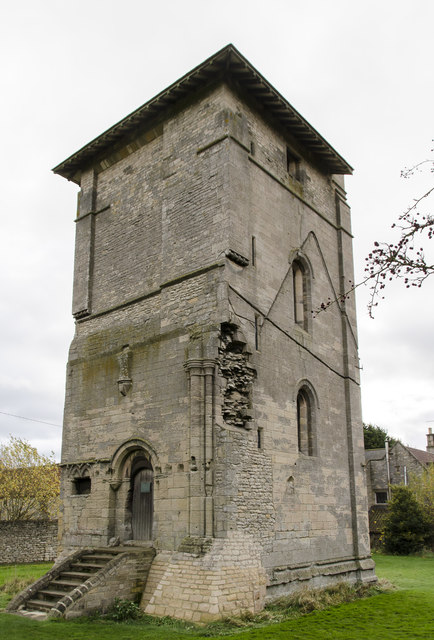
Temple Bruer Preceptory
Temple Bruer Preceptory is a historic building in the civil parish of Temple Bruer with Temple High Grange, North Kesteven, Lincolnshire, England. It...
Temple Bruer with Temple High Grange
Temple Bruer with Temple High Grange is a civil parish and a former extra-parochial area in North Kesteven, Lincolnshire, England which had in the Medieval...

Brauncewell
Brauncewell is a hamlet and former civil parish in the North Kesteven district of Lincolnshire, England. From the census 2011 the population is included...
Ashby de la Launde
Ashby de la Launde is a small village, part of the civil parish of Ashby de la Launde and Bloxholm, in the North Kesteven district of Lincolnshire, England...

Sleaford and North Hykeham (UK Parliament constituency)
Sleaford and North Hykeham is a parliamentary constituency in Lincolnshire, England which elects a single Member of Parliament (MP) to the House of Commons...

RAF Digby
Royal Air Force Digby otherwise known as RAF Digby is a Royal Air Force station located near Scopwick and 11.6 mi (18.7 km) south east of Lincoln, in Lincolnshire...
RAF Wellingore
Royal Air Force Wellingore or more simply RAF Wellingore is a former Royal Air Force fighter relief landing ground located 1.9 miles (3.1 km) south of...
Nearby Amenities
Located within 500m of 53.075103,-0.47541177Have you been to Warren Plantation?
Leave your review of Warren Plantation below (or comments, questions and feedback).