Brooks Wood
Wood, Forest in Surrey Waverley
England
Brooks Wood
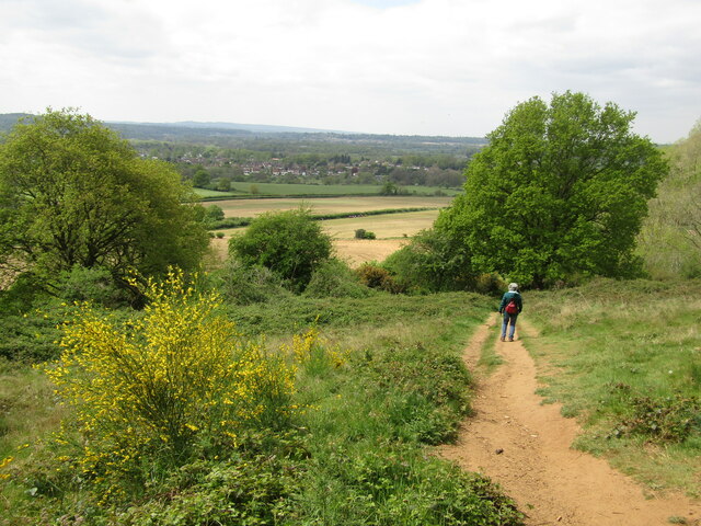
Brooks Wood is a picturesque and serene forest located in Surrey, England. Covering an area of approximately 350 acres, it is renowned for its natural beauty and diverse wildlife. The wood is situated on the outskirts of the village of Wood, providing a peaceful retreat from the hustle and bustle of city life.
The forest is predominantly made up of deciduous trees, including oak, beech, and birch, which create a vibrant and ever-changing landscape throughout the seasons. The dense foliage provides a home for a variety of flora and fauna, making it a haven for nature enthusiasts and wildlife lovers.
Visitors to Brooks Wood can explore a network of well-maintained walking trails that wind through the forest, offering a chance to immerse themselves in the tranquil surroundings. These trails cater to all levels of fitness and provide ample opportunities for birdwatching, photography, and simply enjoying the serenity of the wood.
In addition to its natural beauty, Brooks Wood also holds cultural significance. It is believed to have been an ancient woodland dating back several centuries, with remnants of historical features such as old boundary ditches and earthworks still visible today.
The wood is managed by the local council, ensuring the preservation of its natural habitat and promoting public access. Facilities such as picnic areas and parking are available, making it an ideal destination for a day trip or a leisurely weekend stroll.
Overall, Brooks Wood in Surrey is a captivating destination that offers a peaceful escape into nature, providing a sanctuary for both wildlife and visitors alike.
If you have any feedback on the listing, please let us know in the comments section below.
Brooks Wood Images
Images are sourced within 2km of 51.21219/-0.53774884 or Grid Reference TQ0246. Thanks to Geograph Open Source API. All images are credited.


Brooks Wood is located at Grid Ref: TQ0246 (Lat: 51.21219, Lng: -0.53774884)
Administrative County: Surrey
District: Waverley
Police Authority: Surrey
What 3 Words
///model.zone.caves. Near Chilworth, Surrey
Nearby Locations
Related Wikis

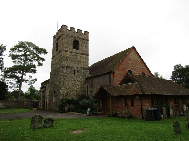
Chilworth, Surrey
Chilworth is a village in the Guildford borough of Surrey, England. It is located in the Tillingbourne valley, southeast of Guildford. == Geography... ==

St Martha, Surrey
St Martha is a hillside, largely wooded, small civil parish in the Guildford borough of Surrey towards the narrower part of the west half of the North...

Chilworth railway station
Chilworth railway station serves the village of Chilworth, Surrey, England. The station, and all trains serving it, are operated by the Great Western Railway...

St Augustine's Abbey, Chilworth
St Augustine's Abbey or Chilworth Abbey, formerly Chilworth Friary, is a Roman Catholic Benedictine abbey in Chilworth, Surrey. The building, which is...

River Tillingbourne
The River Tillingbourne (also known as the Tilling Bourne) runs along the south side of the North Downs and joins the River Wey at Guildford. Its source...
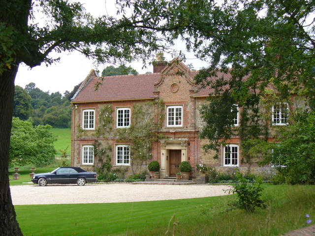
Chilworth Manor, Surrey
Chilworth Manor is a historic country house located midway between Chilworth, Surrey and St Martha's Hill to the north. The manor is grade II listed by...
Hundred of Blackheath, Surrey
Blackheath Hundred or the Hundred of Blackheath was a hundred in the county of Surrey, England. It corresponds to parts of the districts of Waverley and...

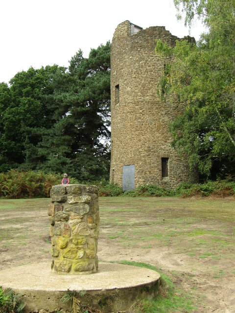
Chinthurst Hill
Chinthurst Hill is a 17.2-hectare (43-acre) Local Nature Reserve south of Guildford in Surrey. It is owned by Surrey County Council and managed by Surrey...
Nearby Amenities
Located within 500m of 51.21219,-0.53774884Have you been to Brooks Wood?
Leave your review of Brooks Wood below (or comments, questions and feedback).