Glasshouse Copse

Wood, Forest in Surrey Waverley

England

Glasshouse Copse

Barberry Bridge, River Lox Public footpath 622_1 crosses an interesting brick bridge. Its muddy state suggests the river often floods. This is looking upstream.
Barberry Bridge, River Lox Credit: Robin Webster

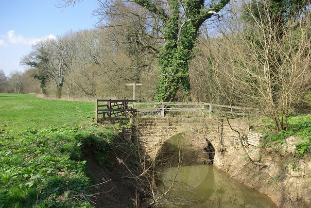
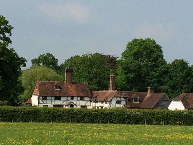
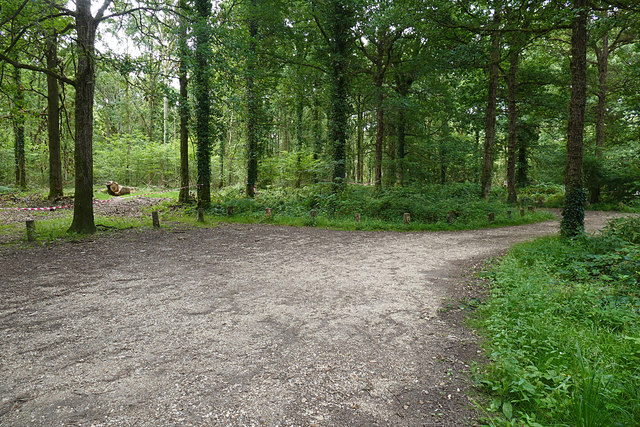
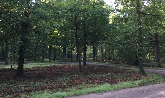
Glasshouse Copse is a picturesque woodland located in Surrey, England. Situated in the southern part of the county, the copse covers an area of approximately 10 hectares. It is an ancient woodland that has been preserved for centuries and is known for its diverse range of flora and fauna.

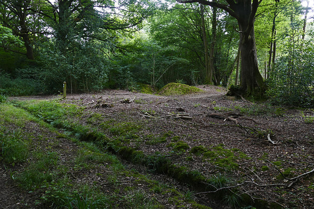
The copse is primarily composed of deciduous trees, including oak, beech, and birch. These trees create a dense canopy, providing shade and shelter for a variety of woodland creatures. The forest floor is adorned with a rich carpet of bluebells, wild garlic, and various other wildflowers, adding to the beauty of the surroundings.

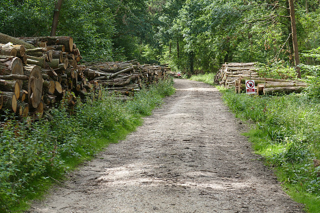
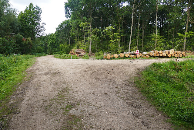
The ancient woodland status of Glasshouse Copse means that it has a long history, dating back hundreds of years. It has been carefully managed to ensure the preservation of its natural features and biodiversity. The woodland is home to a wide range of wildlife, including deer, badgers, foxes, and numerous species of birds.

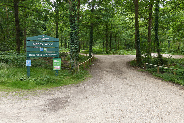
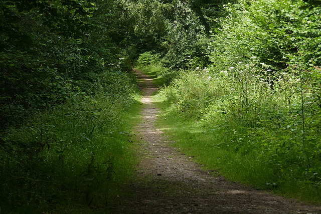
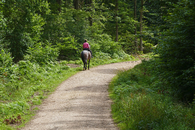
Visitors to Glasshouse Copse can enjoy peaceful walks along the well-maintained trails that wind through the woodland. The copse is a popular destination for nature lovers and birdwatchers, who appreciate the tranquility and abundance of wildlife. The woodland also provides an excellent opportunity for photography enthusiasts to capture the beauty of the natural surroundings.

Glasshouse Copse is a true gem in the Surrey countryside, offering a peaceful retreat and a chance to connect with nature. Its ancient woodland status and diverse ecosystem make it an important site for conservation and a haven for wildlife.

If you have any feedback on the listing, please let us know in the comments section below.

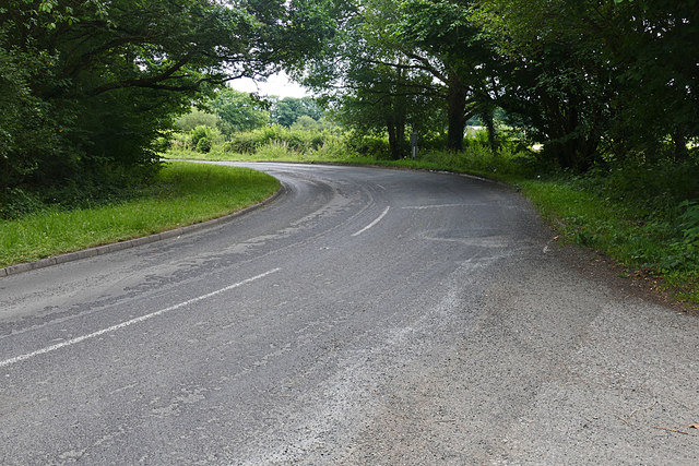
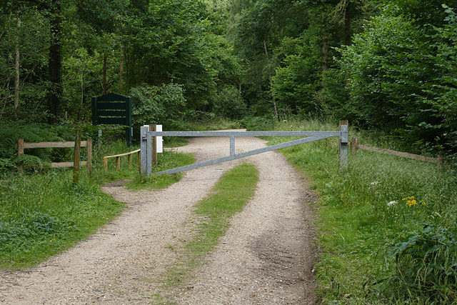
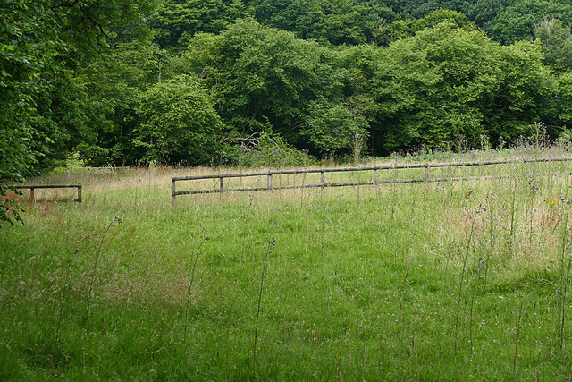
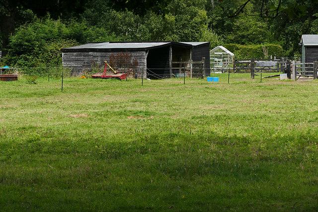
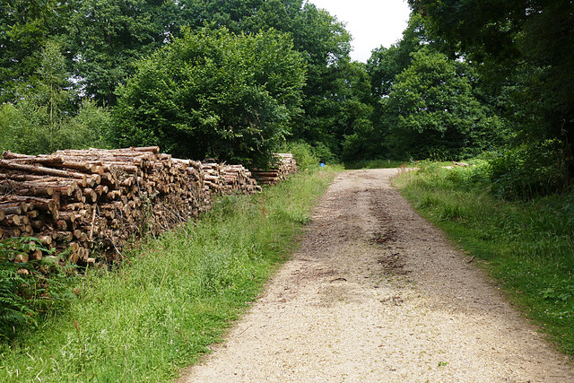
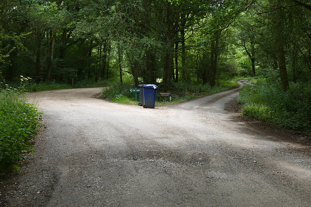
Glasshouse Copse Images

Images are sourced within 2km of 51.095319/-0.54253771 or Grid Reference TQ0233. Thanks to Geograph Open Source API. All images are credited.

Barberry Bridge, River Lox Public footpath 622_1 crosses an interesting brick bridge. Its muddy state suggests the river often floods. This is looking upstream.
Barberry Bridge, River Lox
Public footpath 622_1 crosses an interesting brick bridge. Its muddy state suggests the river often floods. This is looking upstream.
Howicks, Hurlands Lane, Dunsfold Grade II listed building (incorrectly listed as 'Lowicks') <span class="nowrap"><a title="http://www.heritagegateway.org.uk/Gateway/Results_Single.aspx?uid=1044357&resourceID=5" rel="nofollow ugc noopener" href="http://www.heritagegateway.org.uk/Gateway/Results_Single.aspx?uid=1044357&resourceID=5">Link</a><img style="margin-left:2px;" alt="External link" title="External link - shift click to open in new window" src="https://s1.geograph.org.uk/img/external.png" width="10" height="10"/></span>
Howicks, Hurlands Lane, Dunsfold
Grade II listed building (incorrectly listed as 'Lowicks') LinkExternal link
Sidney Wood car park The entrance to the car park in Sidney Wood, part of the Forest Enterprise Chiddingfold Forest complex.
Sidney Wood car park
The entrance to the car park in Sidney Wood, part of the Forest Enterprise Chiddingfold Forest complex.
Wood piles, Sidney Wood A track lined with recently harvested wood in this Forest Enterprise wood near Dunsfold.
Wood piles, Sidney Wood
A track lined with recently harvested wood in this Forest Enterprise wood near Dunsfold.
Dunsfold Road The rural road running south of the airfield from the entrance to Sidney Wood.
Dunsfold Road
The rural road running south of the airfield from the entrance to Sidney Wood.
Barrier, Sidney Wood A barrier across the track into Sidney Wood with the entrance to the carpark on the left just beyond.
Barrier, Sidney Wood
A barrier across the track into Sidney Wood with the entrance to the carpark on the left just beyond.
Overgrown track, Sidney Wood A shaded track through Sidney Wood. The left hand side was clear felled in the 1990s, now it is impenetrable.
Overgrown track, Sidney Wood
A shaded track through Sidney Wood. The left hand side was clear felled in the 1990s, now it is impenetrable.
Old paddock, Sidney Wood One of the paddocks off Sachell Hill, a public right of way near Sidney Wood.
Old paddock, Sidney Wood
One of the paddocks off Sachell Hill, a public right of way near Sidney Wood.
Sidney Wood car park The car park in the Forest Enterprise Sidney Wood.
Sidney Wood car park
The car park in the Forest Enterprise Sidney Wood.
Dunsfold Road Looking north towards Tickners Heath Farm.
Dunsfold Road
Looking north towards Tickners Heath Farm.
Forest Tracks, Sidney Wood The junction of two of the main forest tracks through Sidney Wood.
Forest Tracks, Sidney Wood
The junction of two of the main forest tracks through Sidney Wood.
Sachellhill Lane The junction of Sachelhill Lane, a footpath running along the east side of Sidney Wood, with the footpath off to the right towards Alfold.
Sachellhill Lane
The junction of Sachelhill Lane, a footpath running along the east side of Sidney Wood, with the footpath off to the right towards Alfold.
Paddocks, Sedgehurst The Paddocks of Sedgehurst, a property enclosed within the Forest Enterprise Sidney Wood.
Paddocks, Sedgehurst
The Paddocks of Sedgehurst, a property enclosed within the Forest Enterprise Sidney Wood.
Horse rider, Sidney Wood A horse rider on one of the main forestry tracks running through Sidney Wood.
Horse rider, Sidney Wood
A horse rider on one of the main forestry tracks running through Sidney Wood.
Sidney Wood, Dunsfold The main north south forestry track through Sidney Wood approaching the junction with the east west track.
Sidney Wood, Dunsfold
The main north south forestry track through Sidney Wood approaching the junction with the east west track.
The road to Sedgehurst The private road to Sedgehurst, a smallholding in Sidney Wood branching off from the car park access track.
The road to Sedgehurst
The private road to Sedgehurst, a smallholding in Sidney Wood branching off from the car park access track.
Hog Wood from the air Woods and fields northwest of Ifold, with many bocage fields close to the wood. Left of centre is Sydney Farm.
Hog Wood from the air
Woods and fields northwest of Ifold, with many bocage fields close to the wood. Left of centre is Sydney Farm.
Sidney Wood Car Park Early morning at the car park.
Sidney Wood Car Park
Early morning at the car park.
Show me another place!

Glasshouse Copse is located at Grid Ref: TQ0233 (Lat: 51.095319, Lng: -0.54253771)

Administrative County: Surrey

District: Waverley

Police Authority: Surrey

What 3 Words

///witless.compiled.award. Near Chiddingfold, Surrey

Related Wikis

Fir Tree Copse

Fir Tree Copse is a 6-hectare (15-acre) nature reserve south-east of Dunsfold in Surrey. It is managed by the Surrey Wildlife Trust and is part of the...

Alfold

Alfold is a village and civil parish in Surrey, England on the West Sussex border. Alfold is a dispersed or polyfocal village in the Green Belt, which...

Alfold F.C.

Alfold Football Club is a football club based in Alfold, Surrey, England. They are currently members of the Southern Combination Division One and play...

Dunsfold Aerodrome

Dunsfold Aerodrome (former ICAO code EGTD) is an unlicensed airfield in Surrey, England, near the village of Cranleigh. It extends across land in the villages...

Top Gear test track

The Top Gear test track is used by the BBC automotive television programme Top Gear. It is located at Dunsfold Aerodrome in Surrey, United Kingdom. The...

Wey and Arun Canal

The Wey and Arun Canal is a partially open, 23-mile-long (37 km) canal in the southeast of England. It runs southwards from the River Wey at Gunsmouth...

Dunsfold

Dunsfold is a village in the borough of Waverley, Surrey, England, 8.7 miles (14.0 kilometres) south of Guildford. It lies in the Weald and reaches in...

Chiddingfold Forest

Chiddingfold Forest is a 542.5-hectare (1,341-acre) biological Site of Special Scientific Interest in Chiddingfold in Surrey and West Sussex. One part...

Nearby Amenities

Located within 500m of 51.095319,-0.54253771
Site of Lock 12
Historic: yes
Lat/Long: 51.0919989/-0.5390849
Post Box
Lat/Long: 51.095033/-0.536253
Bench
Lat/Long: 51.0971249/-0.5487829
The data included in this document is from www.openstreetmap.org. The data is made available under ODbL.

Have you been to Glasshouse Copse?

Leave your review of Glasshouse Copse below (or comments, questions and feedback).