Barn Wood

Wood, Forest in Sussex Chichester

England

Barn Wood

New lock and bridge, 2007 The canal was culverted under a lowered B2133 after closure. A requirement of the resurrection of the canal was that the road level was not to be altered. Consequently the canal under a new bridge (still in hand and beyond the one ahead), had to be at a lower level than previously. This needed a drastically altered lower lock and this completely new upper lock, the old canal level being as seen here.
New lock and bridge, 2007 Credit: Robin Webster

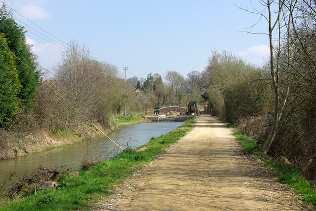
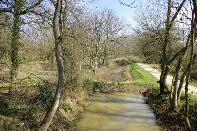
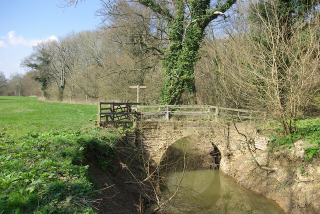
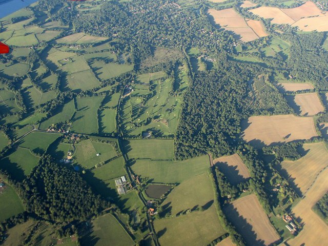
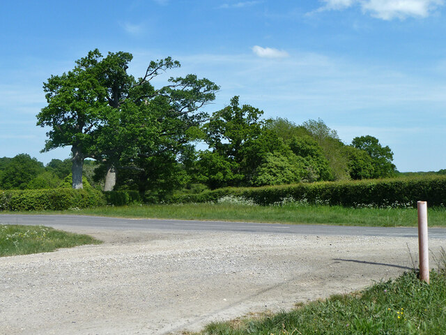
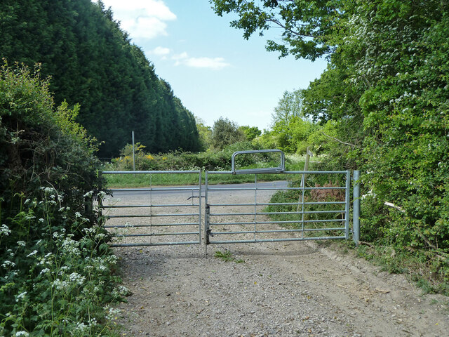
Barn Wood is a picturesque forest located in the county of Sussex, England. Spread across a vast expanse of land, this woodland is renowned for its natural beauty and historical significance. The forest is primarily composed of oak trees, which have been growing here for centuries, creating a dense and enchanting canopy.

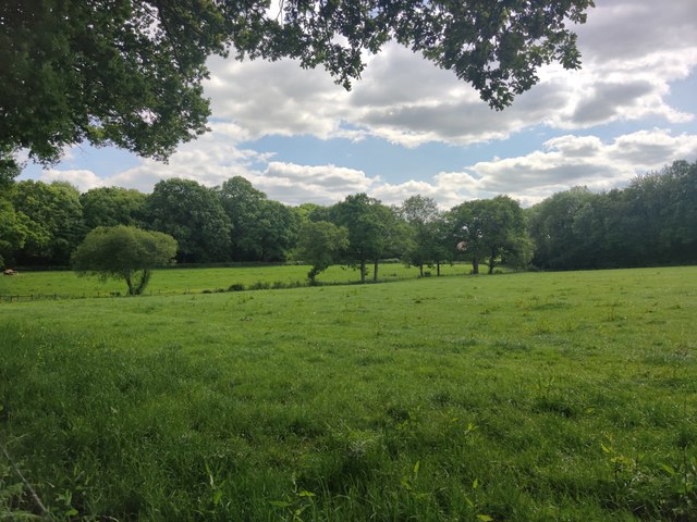
Barn Wood is home to a diverse range of flora and fauna, making it a popular destination for nature enthusiasts and wildlife lovers. Among the various species of plants that can be found here are bluebells, wild garlic, and ferns, adding to the forest's charm. The forest floor is adorned with a rich carpet of moss and lichens, contributing to its magical allure.

The woodland is also teeming with wildlife, providing a habitat for several species. Visitors might catch a glimpse of deer, foxes, rabbits, and a variety of birds, including woodpeckers and owls. The tranquil atmosphere of Barn Wood offers a serene setting for those seeking solace and a connection with nature.

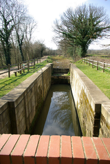
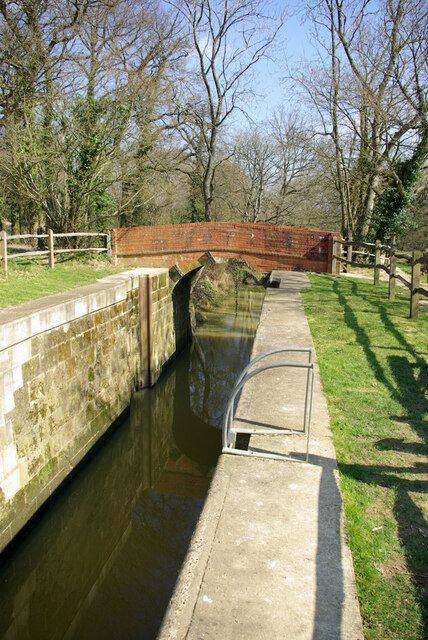
Moreover, the historical significance of Barn Wood adds to its appeal. The forest has been used for traditional woodland management practices, such as coppicing, which involves cutting trees to stimulate new growth. This ancient technique has been employed for centuries and has contributed to the sustainability of the woodland.

With its breathtaking scenery, diverse ecosystem, and rich history, Barn Wood is an exceptional destination for anyone seeking a tranquil and immersive experience in the heart of Sussex's natural beauty.

If you have any feedback on the listing, please let us know in the comments section below.

Barn Wood Images

Images are sourced within 2km of 51.073979/-0.54320818 or Grid Reference TQ0231. Thanks to Geograph Open Source API. All images are credited.

New lock and bridge, 2007 The canal was culverted under a lowered B2133 after closure. A requirement of the resurrection of the canal was that the road level was not to be altered. Consequently the canal under a new bridge (still in hand and beyond the one ahead), had to be at a lower level than previously. This needed a drastically altered lower lock and this completely new upper lock, the old canal level being as seen here.
New lock and bridge, 2007
The canal was culverted under a lowered B2133 after closure. A requirement of the resurrection of the canal was that the road level was not to be altered. Consequently the canal under a new bridge (still in hand and beyond the one ahead), had to be at a lower level than previously. This needed a drastically altered lower lock and this completely new upper lock, the old canal level being as seen here.
Devil's Hole Lock, Wey and Arun Canal, 2007 The stonework has been very drastically repaired, but no gates yet, with the canal above still yet to be watered.
Devil's Hole Lock, Wey and Arun Canal, 2007
The stonework has been very drastically repaired, but no gates yet, with the canal above still yet to be watered.
Pound below Devil's Hole Lock, 2007 The partly restored Wey and Arun Canal, split into watered parts and cleared but more or less dry parts.
Pound below Devil's Hole Lock, 2007
The partly restored Wey and Arun Canal, split into watered parts and cleared but more or less dry parts.
Devil's Hole Lock, Wey and Arun Canal, 2007 The stonework has been very drastically repaired, but no gates yet, with the canal above still yet to be watered.
Devil's Hole Lock, Wey and Arun Canal, 2007
The stonework has been very drastically repaired, but no gates yet, with the canal above still yet to be watered.
Barberry Bridge, River Lox Public footpath 622_1 crosses an interesting brick bridge. Its muddy state suggests the river often floods. This is looking upstream.
Barberry Bridge, River Lox
Public footpath 622_1 crosses an interesting brick bridge. Its muddy state suggests the river often floods. This is looking upstream.
Foxbridge Golf Club from the air Wephurst Wood lies to the east of the course; Furze Field and Broad Field, also shown in <a href="https://www.geograph.org.uk/photo/5151386">TQ0129 : Woodland near Ifold from the air</a>, are at lower left. Ifold is the village set in woodland at the top.
Foxbridge Golf Club from the air
Wephurst Wood lies to the east of the course; Furze Field and Broad Field, also shown in TQ0129 : Woodland near Ifold from the air, are at lower left. Ifold is the village set in woodland at the top.
Lanes meet at the Corner Rickman’s Lane and Foxbridge Lane meet with the Plaistow Road at the corner.
Lanes meet at the Corner
Rickman’s Lane and Foxbridge Lane meet with the Plaistow Road at the corner.
Bridleway to Wephurst Wood Access through the gated entrance is required at all times to the Electricity Sub Station a short distance down the track.
Bridleway to Wephurst Wood
Access through the gated entrance is required at all times to the Electricity Sub Station a short distance down the track.
Electricity Sub Station The Sub Station beside the bridleway to Wephurst Wood.
Electricity Sub Station
The Sub Station beside the bridleway to Wephurst Wood.
Approaching Wephurst Wood
Log Pile at Wephurst Wood The log pile as you enter Wephurst Wood just beyond a path junction.
Log Pile at Wephurst Wood
The log pile as you enter Wephurst Wood just beyond a path junction.
Path through Wephurst Wood The long grasses on either side were overhanging the path, but made it a pleasant experience to “wade” through compared to nettles.
Path through Wephurst Wood
The long grasses on either side were overhanging the path, but made it a pleasant experience to “wade” through compared to nettles.
Path beside Wephurst Wood
Path Junction The path junction beside Pond Field Plantation.
Path Junction
The path junction beside Pond Field Plantation.
Fields near Hardnip's Copse
Drive to Crouchland Farm meets Rickman's Lane The drive is a public bridleway.
Drive to Crouchland Farm meets Rickman's Lane
The drive is a public bridleway.
Bridleway 632 meets Rickman's Lane
Forestry in Wephurst Wood Large areas of the wood had been almost clear felled or thinned, and an ingenious vehicle was converting the felled trees into logs.
Forestry in Wephurst Wood
Large areas of the wood had been almost clear felled or thinned, and an ingenious vehicle was converting the felled trees into logs.
Show me another place!

Barn Wood is located at Grid Ref: TQ0231 (Lat: 51.073979, Lng: -0.54320818)

Administrative County: West Sussex

District: Chichester

Police Authority: Sussex

What 3 Words

///duke.gloom.garage. Near Rudgwick, West Sussex

Related Wikis

Ifold

Ifold is a hamlet in West Sussex and part of the civil Parish of Plaistow, of which it is the largest settlement. Ifold is classified as a hamlet, because...

Loxwood

Loxwood is a small village and civil parish with several outlying settlements, in the Chichester district of West Sussex, England, within the Low Weald...

Plaistow, West Sussex

Plaistow ( PLAST-oh) is a village and civil parish in the north of the Chichester District of West Sussex, England. There is a village green, a recreation...

Loxwood F.C.

Loxwood Football Club is a football club based in Loxwood, West Sussex, England. Nicknamed "The Magpies" and affiliated to the Surrey County FA, they are...

St Ronan's School

Saint Ronan's School is an independent co-educational preparatory school for boys and girls from 3 to 13 years located in Hawkhurst in Kent, England. It...

Alfold

Alfold is a village and civil parish in Surrey, England on the West Sussex border. Alfold is a dispersed or polyfocal village in the Green Belt, which...

Chiddingfold Forest

Chiddingfold Forest is a 542.5-hectare (1,341-acre) biological Site of Special Scientific Interest in Chiddingfold in Surrey and West Sussex. One part...

Fir Tree Copse

Fir Tree Copse is a 6-hectare (15-acre) nature reserve south-east of Dunsfold in Surrey. It is managed by the Surrey Wildlife Trust and is part of the...

Nearby Amenities

Located within 500m of 51.073979,-0.54320818
Village Hall
Kelsey Hall
Addr City: Billingshurst
Addr Country: GB
Addr Postcode: RH14 0UD
Addr Suburb: Ifold
Lat/Long: 51.0710471/-0.5392157
Parking
Lat/Long: 51.0708689/-0.5390566
Post Box
Ref: RH14 166
Lat/Long: 51.0724429/-0.53779
Barrier: yes
Lat/Long: 51.076763/-0.5378102
The data included in this document is from www.openstreetmap.org. The data is made available under ODbL.

Have you been to Barn Wood?

Leave your review of Barn Wood below (or comments, questions and feedback).