Little Rickhurst Copse

Wood, Forest in Surrey Waverley

England

Little Rickhurst Copse

Oak Tree Lane, Dunsfold Along the north side of the common.
Oak Tree Lane, Dunsfold Credit: Robin Webster

Little Rickhurst Copse is a charming woodland located in the county of Surrey, England. It covers an area of approximately 10 acres and is nestled within the picturesque countryside near the village of Rickhurst. The copse is part of the larger Surrey Hills Area of Outstanding Natural Beauty, known for its stunning landscapes and rich biodiversity.

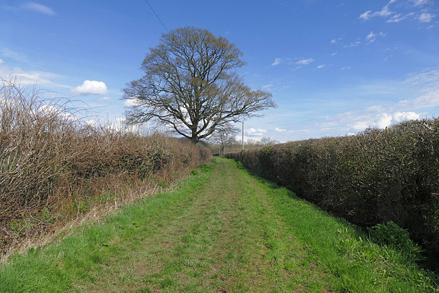
This woodland is predominantly made up of native broadleaf trees such as oak, beech, and birch, creating a diverse and vibrant ecosystem. The mature trees provide a dense canopy, allowing only dappled sunlight to filter through to the forest floor. This creates a unique microclimate that supports a wide range of flora and fauna.

Little Rickhurst Copse is known for its tranquil and peaceful atmosphere, making it a popular destination for nature enthusiasts, walkers, and photographers. The copse is crisscrossed with well-maintained footpaths, enabling visitors to explore its beauty at their leisure. Along the way, one can discover a variety of wildflowers, ferns, and mosses that thrive in this woodland environment.

The copse is also home to a diverse array of wildlife. Birdwatchers can spot species such as woodpeckers, owls, and thrushes, while small mammals like squirrels, foxes, and rabbits are often seen darting through the undergrowth. Additionally, the copse provides habitat for a range of insects, including butterflies, beetles, and spiders.

Little Rickhurst Copse offers a peaceful retreat from the hustle and bustle of everyday life. Visitors can immerse themselves in the beauty of nature, exploring the winding paths and enjoying the sights and sounds of this enchanting woodland.

If you have any feedback on the listing, please let us know in the comments section below.

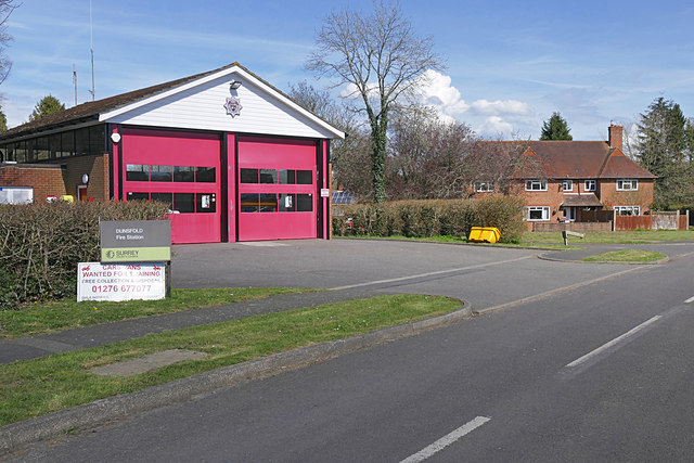
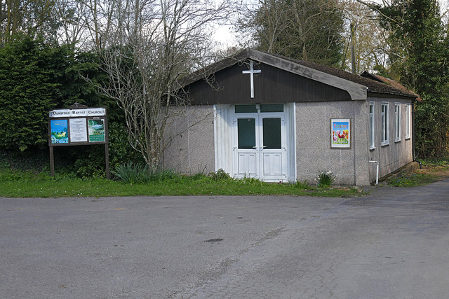
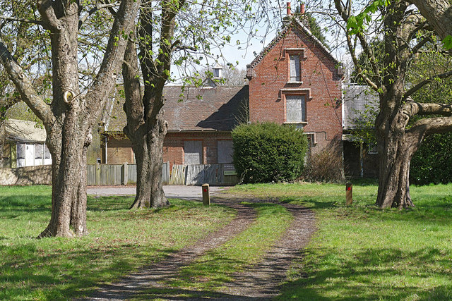
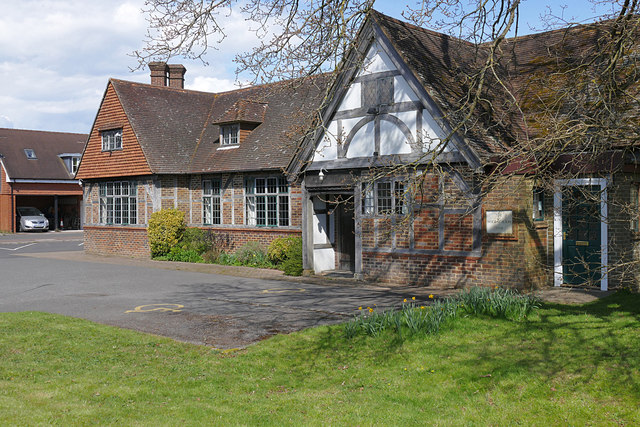
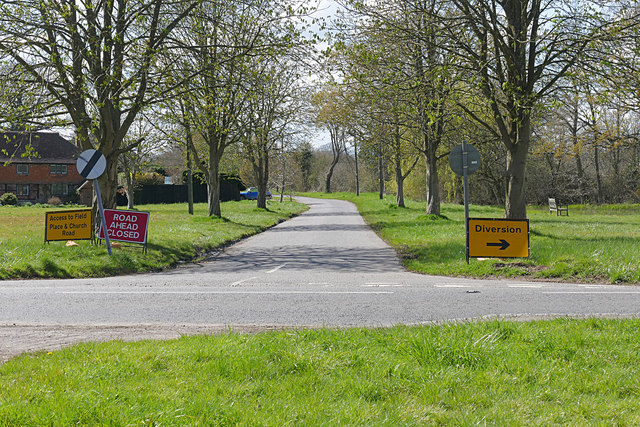
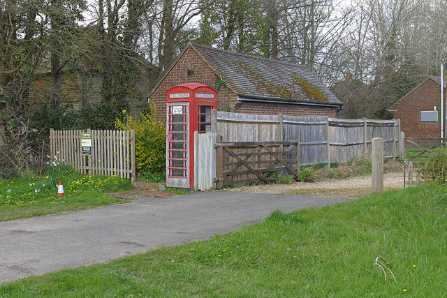
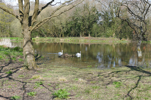
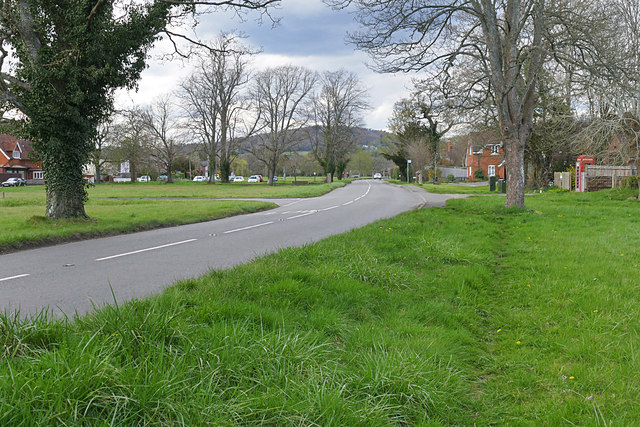
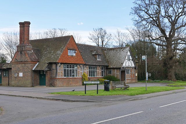
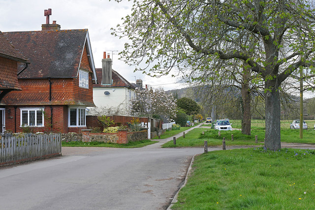
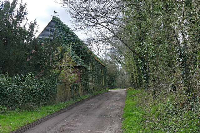
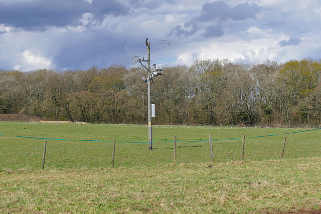
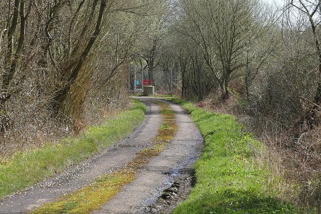
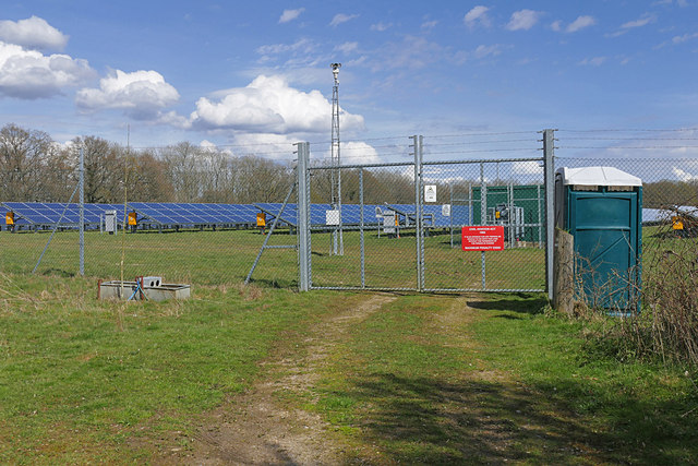
Little Rickhurst Copse Images

Images are sourced within 2km of 51.106395/-0.54518913 or Grid Reference TQ0135. Thanks to Geograph Open Source API. All images are credited.

Oak Tree Lane, Dunsfold Along the north side of the common.
Oak Tree Lane, Dunsfold
Along the north side of the common.
Houses on Oak Tree Lane, Dunsfold Oak Tree Cottage is the near house, Pond Cottage the far. Both are grade II listed buildings.
Houses on Oak Tree Lane, Dunsfold
Oak Tree Cottage is the near house, Pond Cottage the far. Both are grade II listed buildings.
Bridleway 285 Dunsfold Heading west towards Chiddingfold Road.
Bridleway 285 Dunsfold
Heading west towards Chiddingfold Road.
Dunsfold fire station The fire station on Binham's Meadow.
Dunsfold fire station
The fire station on Binham's Meadow.
Dunsfold Baptist Chapel The small Baptist chapel on an access road off Dunsfold Common Road.
Dunsfold Baptist Chapel
The small Baptist chapel on an access road off Dunsfold Common Road.
Former school, Dunsfold The boarded up school house By Nugent Close.
Former school, Dunsfold
The boarded up school house By Nugent Close.
The Winn Hall, Dunsfold The village hall fronting onto Dunsfold Common Road.
The Winn Hall, Dunsfold
The village hall fronting onto Dunsfold Common Road.
Hookhouse Road, Dunsfold The junction of Hookhouse Road with Dunsfold Common Road at Gratton Corner.
Hookhouse Road, Dunsfold
The junction of Hookhouse Road with Dunsfold Common Road at Gratton Corner.
Phone box, Dunsfold A phone box in front of the former telephone exchange on Dunsfold Common Road.
Phone box, Dunsfold
A phone box in front of the former telephone exchange on Dunsfold Common Road.
Pond, Dunsfold green The largest of the ponds on Dunsfold Green near the junction of Nugent Close and Dunsfold Common Road.
Pond, Dunsfold green
The largest of the ponds on Dunsfold Green near the junction of Nugent Close and Dunsfold Common Road.
Dunsfold Common Road Looking north along Dunsfold Common Road from the access road to Pound Farm.
Dunsfold Common Road
Looking north along Dunsfold Common Road from the access road to Pound Farm.
Winn Hall, Dunsfold The village hall on the corner of Arnold Close.
Winn Hall, Dunsfold
The village hall on the corner of Arnold Close.
Dunsfold green The houses along the west side of the green near the access road to the post office.
Dunsfold green
The houses along the west side of the green near the access road to the post office.
Barn, Pound Farm A barn backing onto the footpath from Dunsfold towards Sayer's Land and the back of Dunsfold Airfield.
Barn, Pound Farm
A barn backing onto the footpath from Dunsfold towards Sayer's Land and the back of Dunsfold Airfield.
Footpath to High Loxley Road The footpath from Dunsfold Village to High Loxley Road.
Footpath to High Loxley Road
The footpath from Dunsfold Village to High Loxley Road.
Paddocks near Dunsfold An electricity pole in the paddocks near Dunsfold with Jewing's Hurst wood in the background.
Paddocks near Dunsfold
An electricity pole in the paddocks near Dunsfold with Jewing's Hurst wood in the background.
High Loxley Road Looking south towards the Dunsfold Airfield gate.
High Loxley Road
Looking south towards the Dunsfold Airfield gate.
Solar Farm near Dunsfold Airfield The solar farm north of Dunsfold Airfield.
Solar Farm near Dunsfold Airfield
The solar farm north of Dunsfold Airfield.
Show me another place!

Little Rickhurst Copse is located at Grid Ref: TQ0135 (Lat: 51.106395, Lng: -0.54518913)

Administrative County: Surrey

District: Waverley

Police Authority: Surrey

What 3 Words

///rich.unlocking.apricot. Near Chiddingfold, Surrey

Related Wikis

Fir Tree Copse

Fir Tree Copse is a 6-hectare (15-acre) nature reserve south-east of Dunsfold in Surrey. It is managed by the Surrey Wildlife Trust and is part of the...

Top Gear test track

The Top Gear test track is used by the BBC automotive television programme Top Gear. It is located at Dunsfold Aerodrome in Surrey, United Kingdom. The...

Dunsfold Aerodrome

Dunsfold Aerodrome (former ICAO code EGTD) is an unlicensed airfield in Surrey, England, near the village of Cranleigh. It extends across land in the villages...

Dunsfold

Dunsfold is a village in the borough of Waverley, Surrey, England, 8.7 miles (14.0 kilometres) south of Guildford. It lies in the Weald and reaches in...

Nearby Amenities

Located within 500m of 51.106395,-0.54518913
Fir Tree Copse
Leisure: nature_reserve
Wikidata: Q60255032
Wikipedia: en:Fir Tree Copse
Lat/Long: 51.105171/-0.5397268
The data included in this document is from www.openstreetmap.org. The data is made available under ODbL.

Have you been to Little Rickhurst Copse?

Leave your review of Little Rickhurst Copse below (or comments, questions and feedback).