Burnwood Copse

Wood, Forest in Surrey Waverley

England

Burnwood Copse
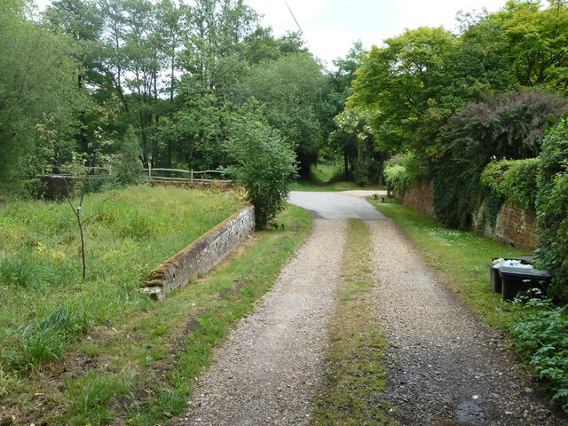
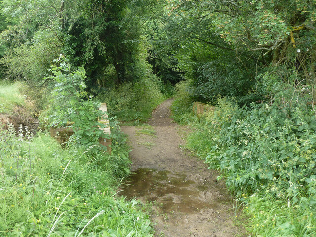
Bridleway 285 Dunsfold by The Mill House The overgrown mill pond is on the left.
Bridleway 285 Dunsfold by The Mill House Credit: Robin Webster

Burnwood Copse is a picturesque woodland located in Surrey, England. Situated near the village of Cranleigh, it spans an area of approximately 100 acres and is renowned for its natural beauty and diverse ecosystem. The copse is predominantly composed of oak and beech trees, which create a dense canopy that provides shade and shelter for a variety of flora and fauna.

The woodland floor is carpeted with an abundance of bluebells, wild garlic, and other wildflowers during the spring months, creating a colorful and fragrant display. The copse is also home to numerous species of birds, including woodpeckers, nuthatches, and various songbirds, which can be heard chirping and singing throughout the day.

Burnwood Copse offers a network of well-maintained footpaths and trails, making it a popular destination for nature enthusiasts and walkers. These paths meander through the woods, providing visitors with the opportunity to explore the serene surroundings and enjoy the tranquil atmosphere.

In addition to its natural beauty, the copse also holds historical significance. It is believed to have been part of the ancient forest that covered the area centuries ago, and remnants of old boundaries and ditches can still be seen within the woodland.

Burnwood Copse offers a peaceful retreat away from the hustle and bustle of everyday life, allowing visitors to connect with nature and experience the tranquility of an enchanting woodland setting. Whether you are a nature lover, a keen photographer, or simply seeking a serene escape, this woodland gem in Surrey is sure to captivate and inspire.

If you have any feedback on the listing, please let us know in the comments section below.

Burnwood Copse Images

Images are sourced within 2km of 51.109995/-0.55630454 or Grid Reference TQ0135. Thanks to Geograph Open Source API. All images are credited.

Bridleway 285 Dunsfold by The Mill House The overgrown mill pond is on the left.
Bridleway 285 Dunsfold by The Mill House
The overgrown mill pond is on the left.
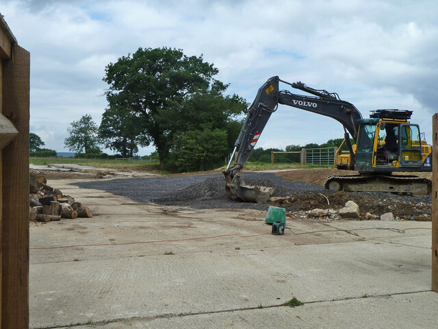
Digger in yard, Field Place Farm It is making good the site of a former farm building.
Digger in yard, Field Place Farm
It is making good the site of a former farm building.
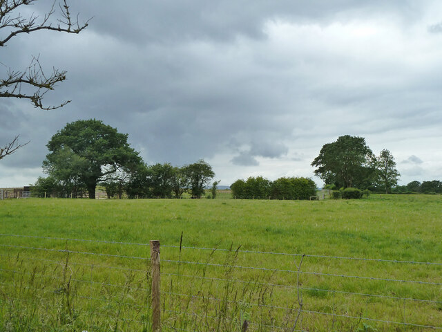
Field west of Hook House Lane
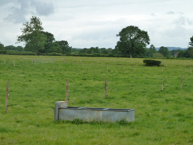
Fields west of Hook House Lane with water trough The nearer posts seem to have insulators but no electric fence wires.
Fields west of Hook House Lane with water trough
The nearer posts seem to have insulators but no electric fence wires.
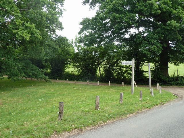
Private drive leading to Pear Tree Green So says the large signpost, but the small one says public footpath. It is footpath 204 Dunsfold, a way towards Breakneck Hill.
Private drive leading to Pear Tree Green
So says the large signpost, but the small one says public footpath. It is footpath 204 Dunsfold, a way towards Breakneck Hill.
Oak Tree Lane, Dunsfold Along the north side of the common.
Oak Tree Lane, Dunsfold
Along the north side of the common.
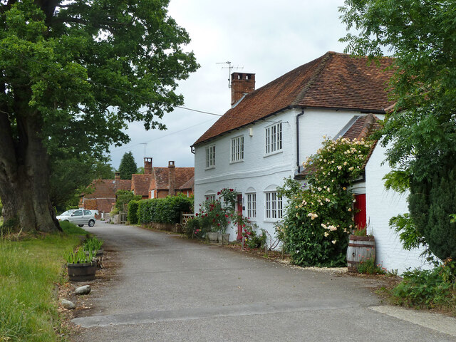
Houses on Oak Tree Lane, Dunsfold Oak Tree Cottage is the near house, Pond Cottage the far. Both are grade II listed buildings.
Houses on Oak Tree Lane, Dunsfold
Oak Tree Cottage is the near house, Pond Cottage the far. Both are grade II listed buildings.
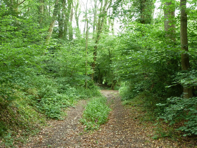
Bridleway 285 Dunsfold Heading west towards Chiddingfold Road.
Bridleway 285 Dunsfold
Heading west towards Chiddingfold Road.
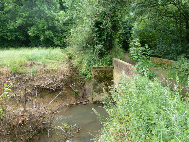
River Lox by bridleway bridge The mill stream from Dunsfold Mill (near) rejoins the main river here.
River Lox by bridleway bridge
The mill stream from Dunsfold Mill (near) rejoins the main river here.
Bridge over River Lox Bridleway 285 Dunsfold crosses.
Bridge over River Lox
Bridleway 285 Dunsfold crosses.
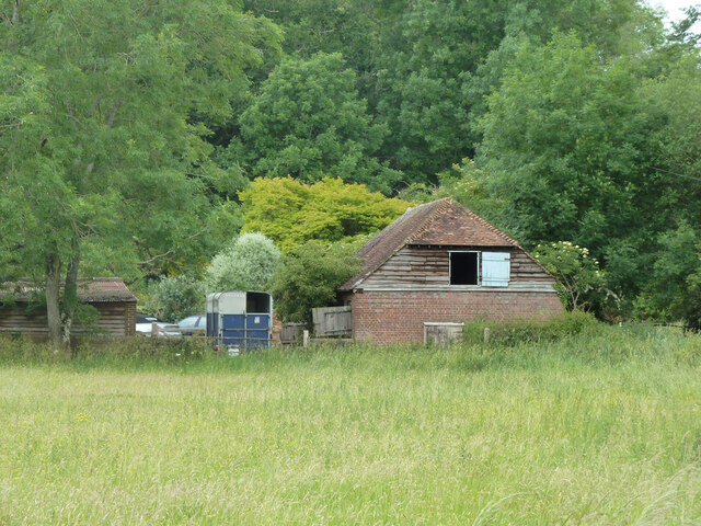
Barn at The Mill House
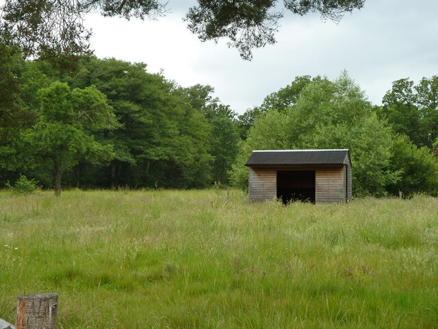
Animal shelter near former Dunsfold Mill Not in residence currently.
Animal shelter near former Dunsfold Mill
Not in residence currently.
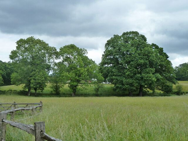
Hedgerow trees, Dunsfold
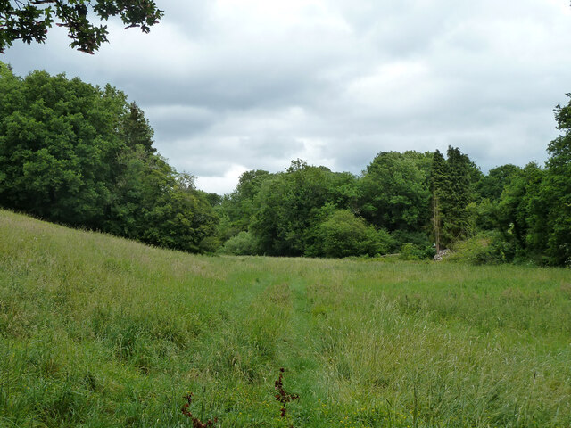
Valley north of Hook House Lane
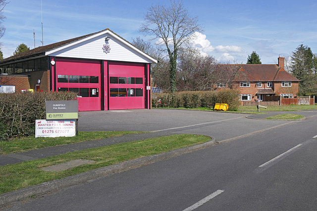
Dunsfold fire station The fire station on Binham's Meadow.
Dunsfold fire station
The fire station on Binham's Meadow.
Dunsfold Green The pond at the northern end of the green.
Dunsfold Green
The pond at the northern end of the green.
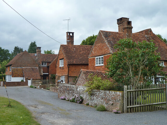
Dunsfold Common Road The "main" road through this quintessential Surrey village. The extended village green runs along the right side of the road encompassing the whole length of the village.
Dunsfold Common Road
The "main" road through this quintessential Surrey village. The extended village green runs along the right side of the road encompassing the whole length of the village.
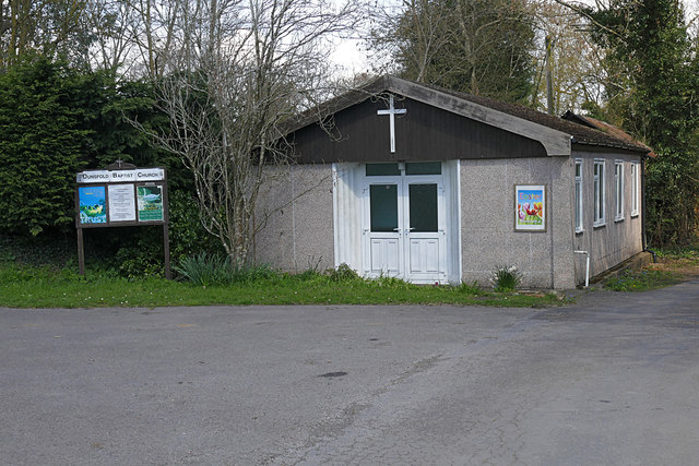
Dunsfold Baptist Chapel The small Baptist chapel on an access road off Dunsfold Common Road.
Dunsfold Baptist Chapel
The small Baptist chapel on an access road off Dunsfold Common Road.
Show me another place!

Burnwood Copse is located at Grid Ref: TQ0135 (Lat: 51.109995, Lng: -0.55630454)

Administrative County: Surrey

District: Waverley

Police Authority: Surrey

What 3 Words

///rifled.succumbs.needed. Near Chiddingfold, Surrey

Related Wikis

Dunsfold

Dunsfold is a village in the borough of Waverley, Surrey, England, 8.7 miles (14.0 kilometres) south of Guildford. It lies in the Weald and reaches in...

Top Gear test track

The Top Gear test track is used by the BBC automotive television programme Top Gear. It is located at Dunsfold Aerodrome in Surrey, United Kingdom. The...

Fir Tree Copse

Fir Tree Copse is a 6-hectare (15-acre) nature reserve south-east of Dunsfold in Surrey. It is managed by the Surrey Wildlife Trust and is part of the...

Dunsfold Aerodrome

Dunsfold Aerodrome (former ICAO code EGTD) is an unlicensed airfield in Surrey, England, near the village of Cranleigh. It extends across land in the villages...

Nearby Amenities

Located within 500m of 51.109995,-0.55630454
Dunsfold Common
Leisure: common
Source: npe
Lat/Long: 51.1120371/-0.5624098
Burningfold Hall
Building: yes
Source: npe
Lat/Long: 51.1101558/-0.563467
Addr Housename: Briar Cottage
Lat/Long: 51.1104529/-0.5499318
Surrey Off Road Specialists
Shop: car_repair
Website: www.surreyoff-road.com
Lat/Long: 51.1118955/-0.5604576
Wiltshires
Shop: agrarian
Lat/Long: 51.1117728/-0.5612624
Addr Housename: The Moorings
Lat/Long: 51.1119665/-0.5593978
Dunsfold DLR
Shop: car_repair
Lat/Long: 51.1118311/-0.5600025
Dunsfold Collection (Private)
Access: private
Tourism: museum
Lat/Long: 51.111877/-0.5600111
Addr Housename: Wayside Cottage
Lat/Long: 51.1120378/-0.558519
Springfield Rew
Natural: wood
Lat/Long: 51.1143668/-0.5560459
The data included in this document is from www.openstreetmap.org. The data is made available under ODbL.

Have you been to Burnwood Copse?

Leave your review of Burnwood Copse below (or comments, questions and feedback).