Creeton Corner Plantation
Wood, Forest in Lincolnshire South Kesteven
England
Creeton Corner Plantation

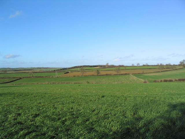
Creeton Corner Plantation is a serene and picturesque woodland located in Lincolnshire, England. Nestled amidst the rolling countryside, this enchanting plantation spans over a vast area, providing a haven for nature enthusiasts and outdoor adventurers alike.
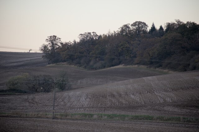
The plantation is characterized by its dense woodland of predominantly deciduous trees, including oak, beech, and birch, which create a lush and vibrant canopy overhead. These trees offer a breathtaking display of colors during the autumn months, attracting visitors from near and far to witness nature's spectacle.
Traversing through the plantation, visitors will find an intricate network of well-maintained footpaths, allowing easy exploration of the area. These pathways wind through the woodlands, unveiling hidden delights such as small ponds, wildflower meadows, and charming streams that add to the plantation's charm.
Creeton Corner Plantation is not only a haven for flora, but also a sanctuary for a diverse array of wildlife. Nature enthusiasts will be delighted to spot a variety of birds, including woodpeckers, owls, and warblers, as well as small mammals like squirrels and hedgehogs that call this plantation their home.
The plantation offers a peaceful retreat for those seeking solitude and tranquility, making it a perfect spot for meditation or simply appreciating the beauty of the natural world. Additionally, it provides an excellent opportunity for outdoor activities such as walking, jogging, or cycling, with designated paths catering to different levels of fitness.
Creeton Corner Plantation is a truly remarkable woodland that captivates visitors with its natural beauty and diverse ecosystem. Whether you seek solace in nature, desire to explore the great outdoors, or simply want to immerse yourself in the enchanting surroundings, this plantation in Lincolnshire is an idyllic destination.
If you have any feedback on the listing, please let us know in the comments section below.
Creeton Corner Plantation Images
Images are sourced within 2km of 52.764764/-0.49166856 or Grid Reference TF0119. Thanks to Geograph Open Source API. All images are credited.


Creeton Corner Plantation is located at Grid Ref: TF0119 (Lat: 52.764764, Lng: -0.49166856)
Administrative County: Lincolnshire
District: South Kesteven
Police Authority: Lincolnshire
What 3 Words
///monument.organist.backup. Near Corby Glen, Lincolnshire
Nearby Locations
Related Wikis
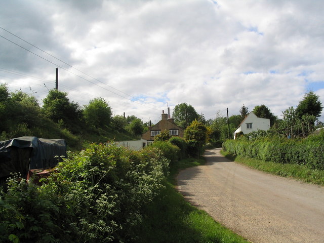
Counthorpe
Counthorpe is a hamlet in the civil parish of Counthorpe and Creeton in the South Kesteven district of Lincolnshire, England. It adjoins the hamlet of...
Creeton
Creeton is a village in the civil parish of Counthorpe and Creeton in the South Kesteven district of Lincolnshire, England. It is situated 3 miles (5 km...
Counthorpe and Creeton
Counthorpe and Creeton is a civil parish in the South Kesteven district of Lincolnshire, England. According to the 2001 census it had a population of...
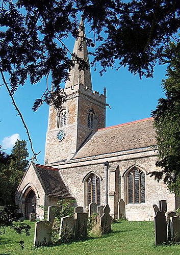
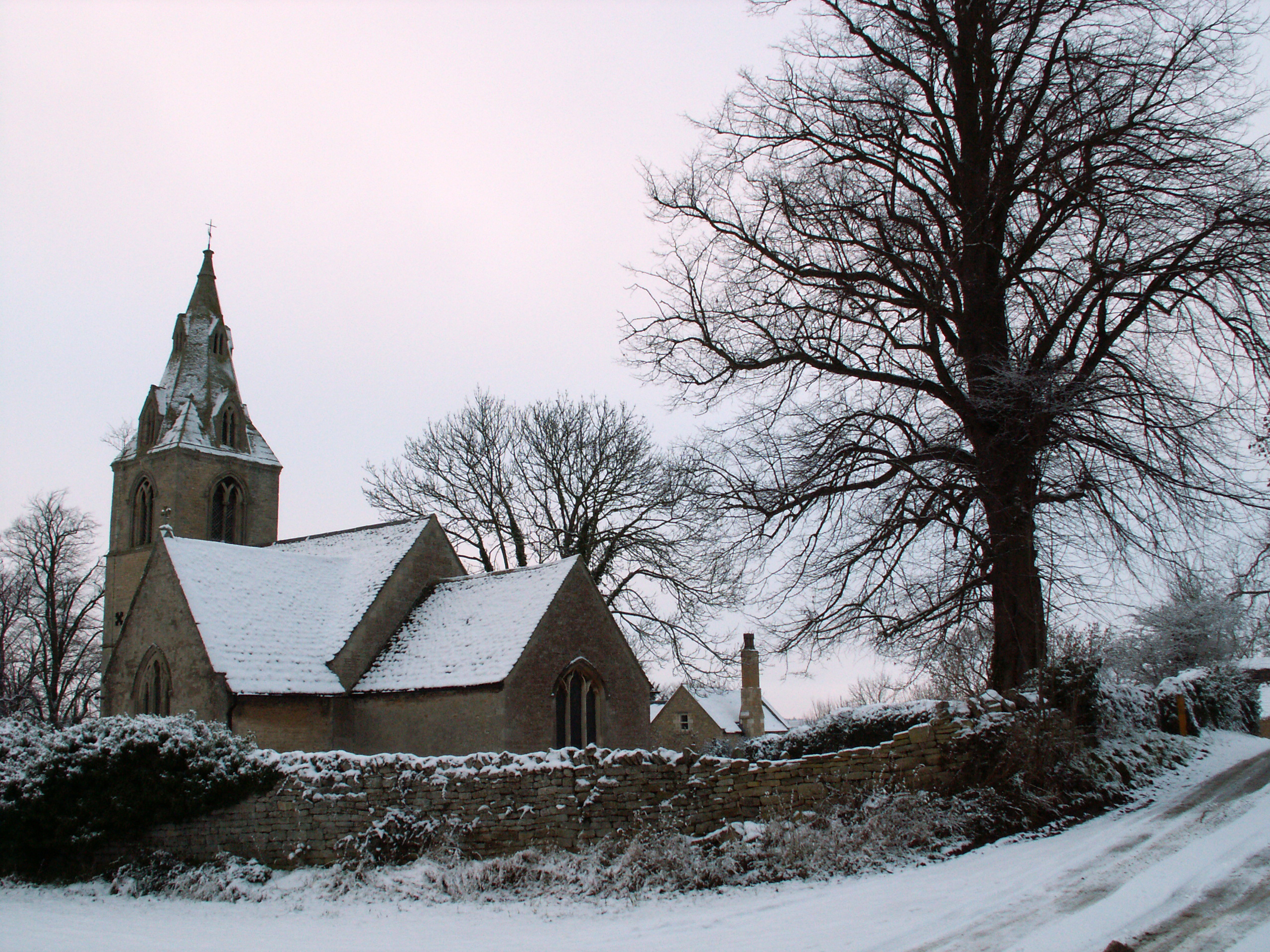
St Medardus and St Gildardus Church, Little Bytham
The church of St Medardus and St Gildardus in Little Bytham, Lincolnshire, England, is a Grade I listed building. It is dedicated to two 6th-century French...
Little Bytham
Little Bytham is a village and civil parish in the South Kesteven district of Lincolnshire, England. The population of the civil parish at the 2011 census...

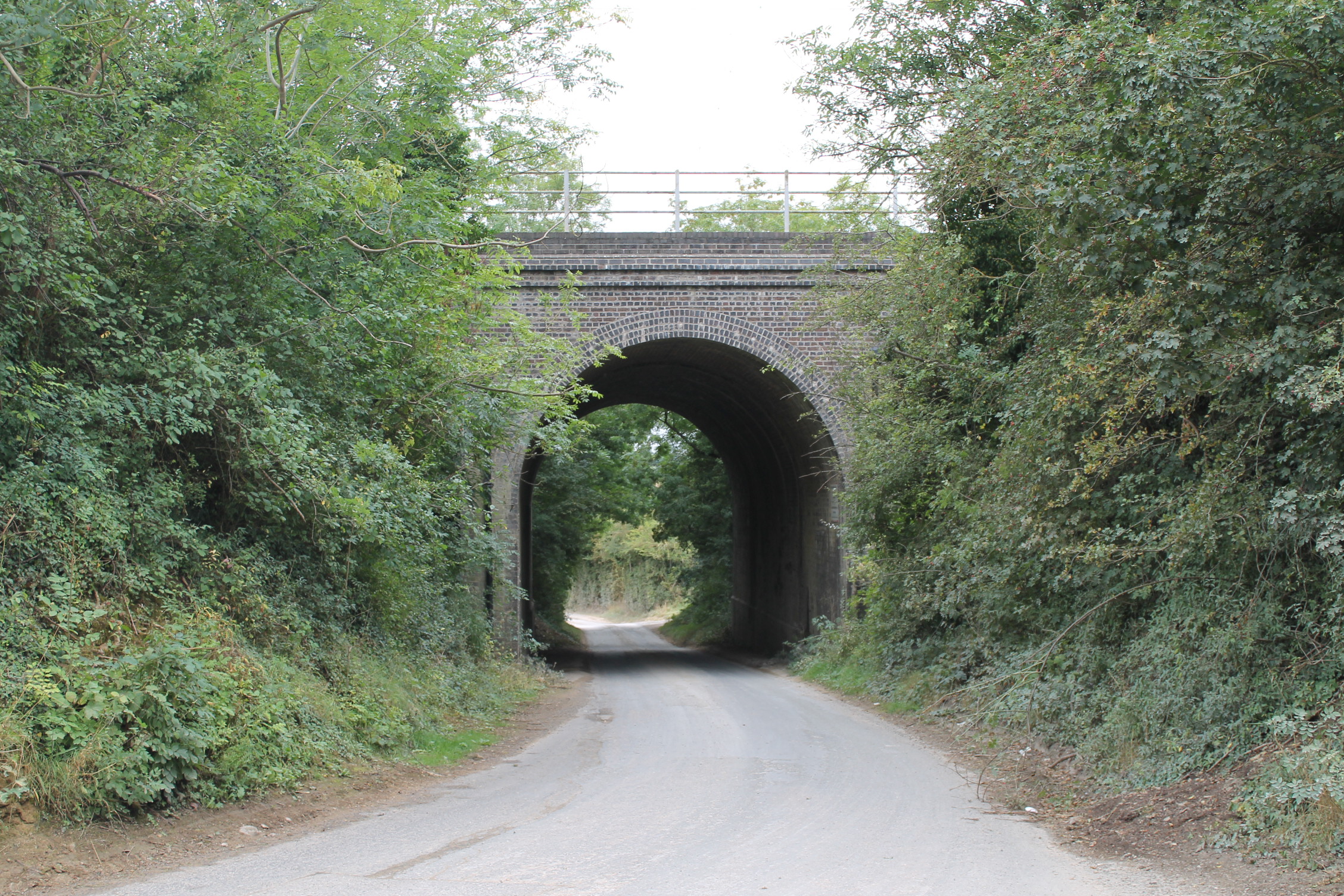
Little Bytham railway station
Little Bytham railway station was a station in Little Bytham, Lincolnshire on the Great Northern Railway main line. It closed in 1959. The Midland and...

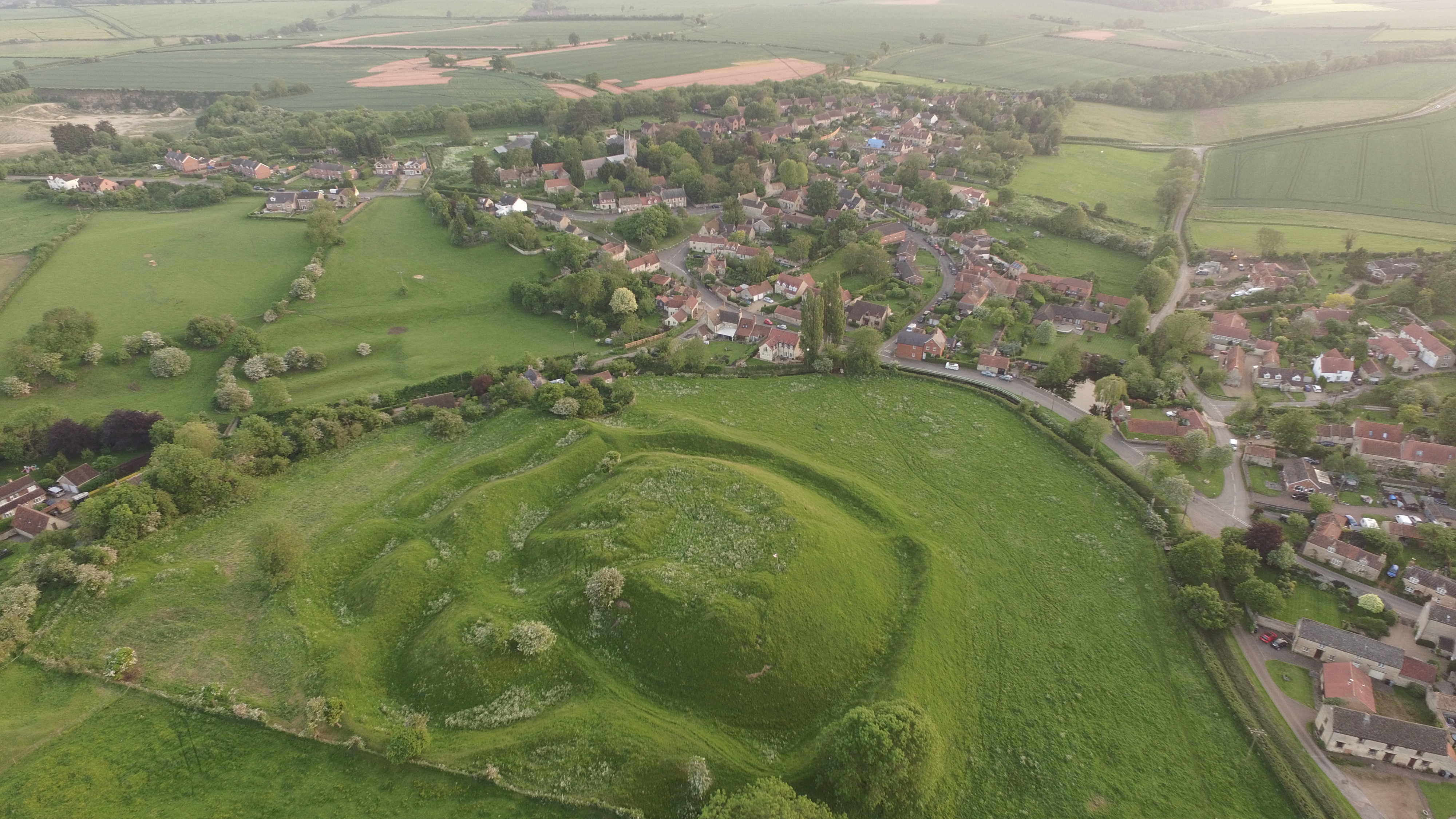
Vaudey Abbey
Vaudey Abbey , also known as Vandy Abbey or Vandey Abbey, was an English Cistercian abbey. It was founded in 1147 by William, Count of Aumale, Earl of...
Bytham Castle
Bytham Castle was a castle in the village of Castle Bytham in Lincolnshire (grid reference SK992186.) The castle is thought to be of early Norman origin...
Nearby Amenities
Located within 500m of 52.764764,-0.49166856Have you been to Creeton Corner Plantation?
Leave your review of Creeton Corner Plantation below (or comments, questions and feedback).