Slough Wood
Wood, Forest in Hertfordshire
England
Slough Wood
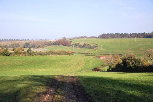
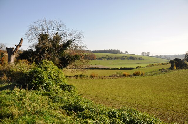
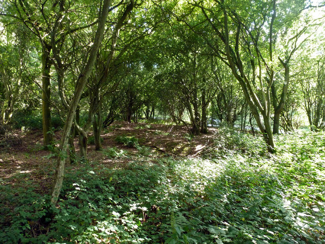
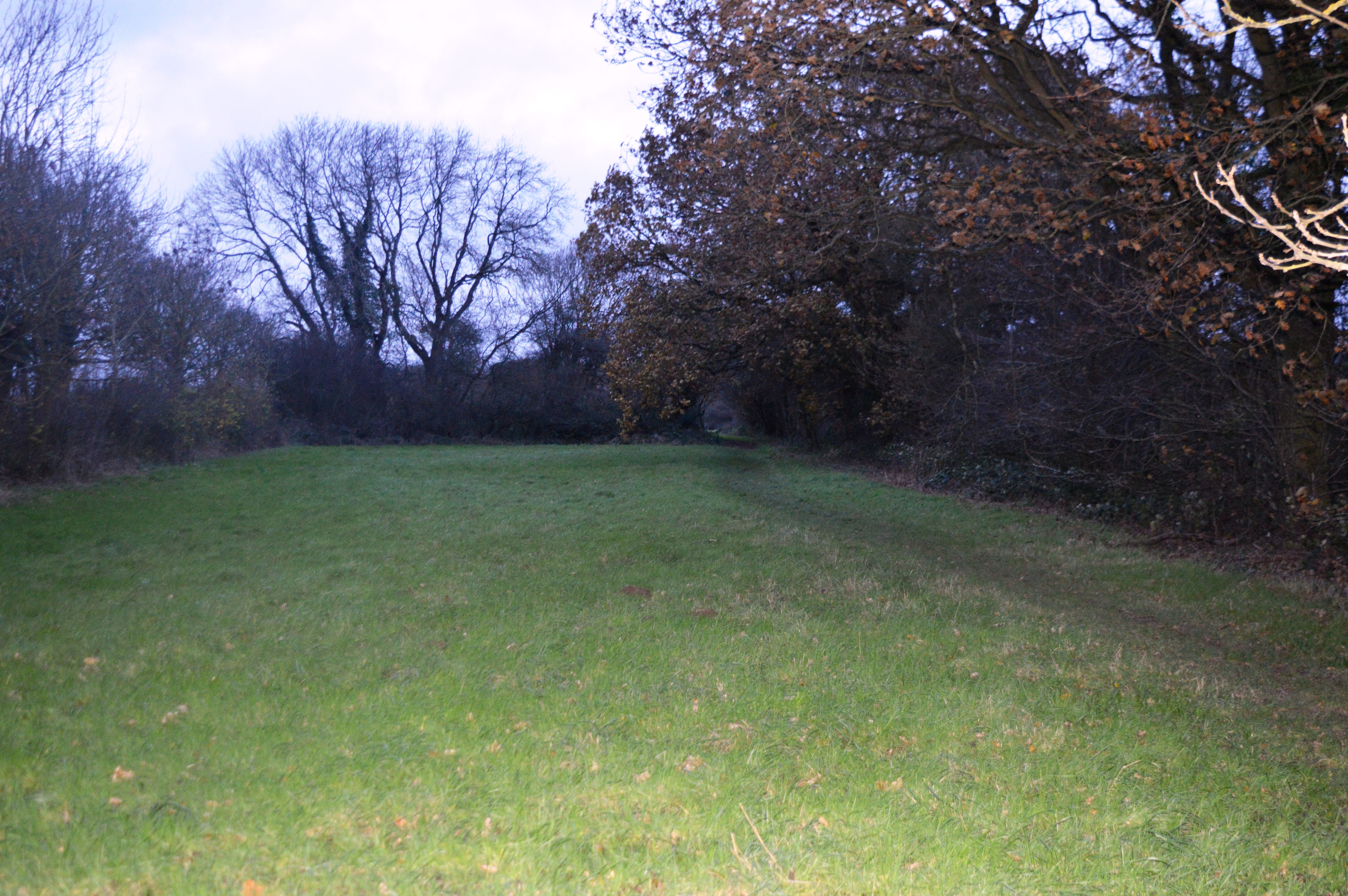
Slough Wood is a picturesque forest located in Hertfordshire, England. Covering an area of approximately 100 acres, it is a popular destination for nature enthusiasts and hikers alike. The wood is situated in close proximity to the town of Slough, hence its name.
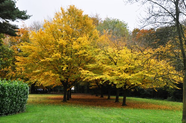
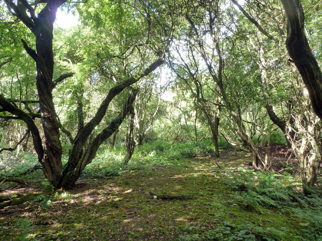
The woodland is characterized by its diverse and dense vegetation, comprising a mixture of deciduous and coniferous trees such as oak, beech, pine, and spruce. This rich variety of tree species creates a vibrant and enchanting atmosphere, particularly during the autumn season when the leaves change color, displaying a mesmerizing palette of reds, oranges, and yellows.
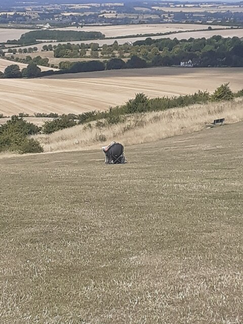
Slough Wood is home to a wide range of wildlife, including various species of birds, mammals, and insects. Birdwatchers will be delighted to spot common species such as robins, blue tits, and woodpeckers, while lucky visitors may even catch a glimpse of a deer or fox roaming through the undergrowth.
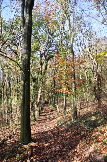
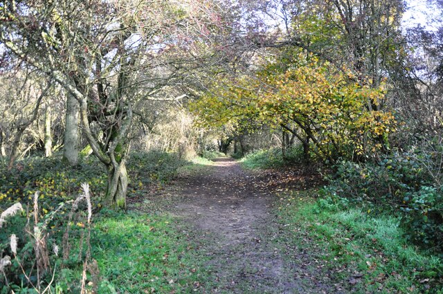
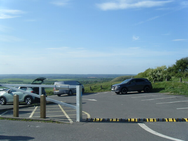
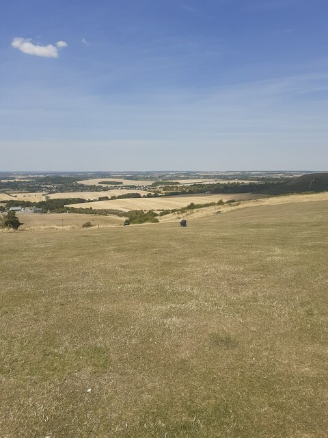
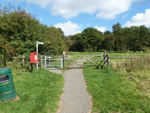
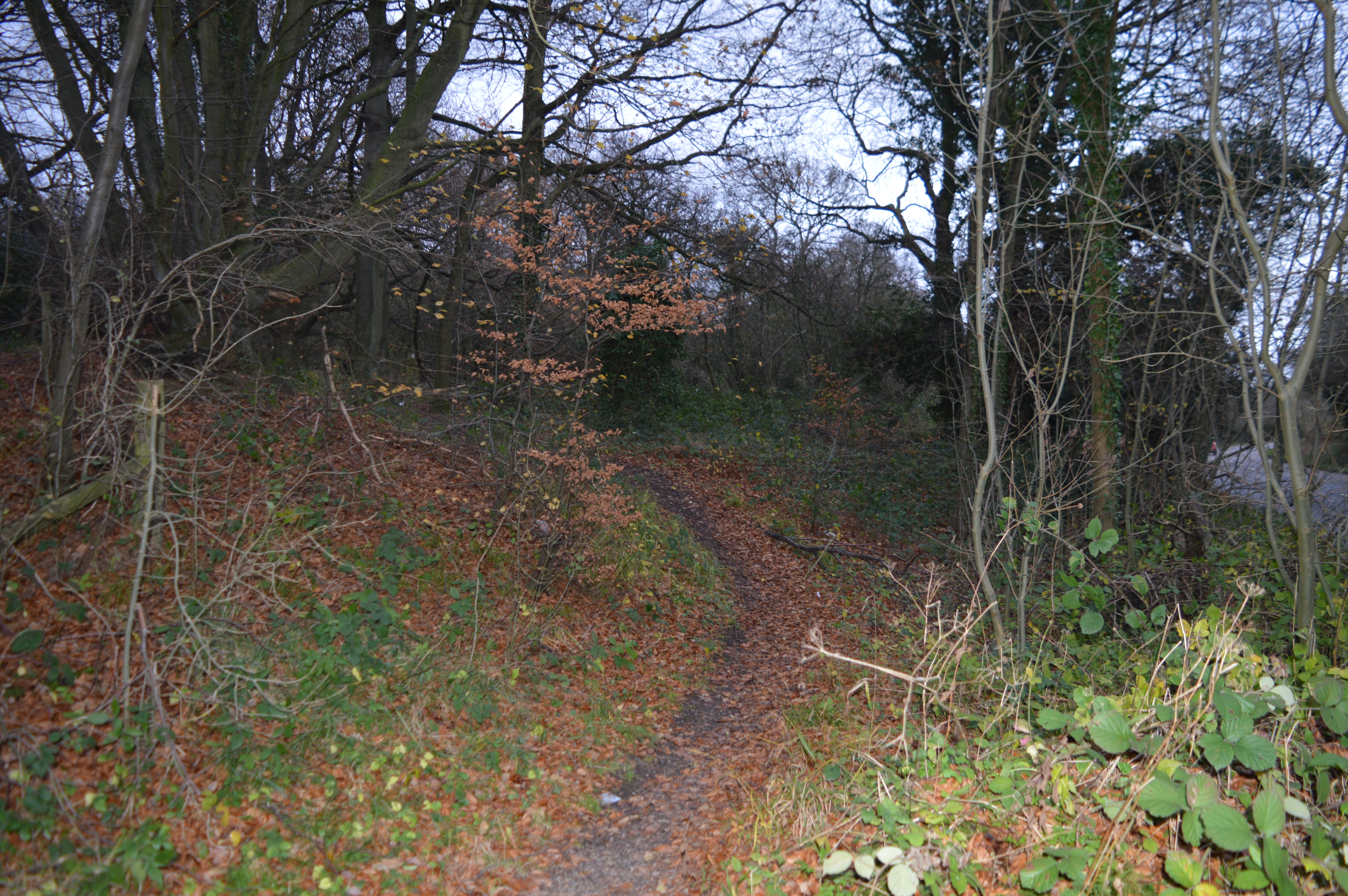
The wood offers several well-maintained trails and footpaths that allow visitors to explore its natural beauty at their own pace. These paths wind through the forest, leading to serene clearings and tranquil ponds, providing opportunities for peaceful reflection or a picnic amidst nature.
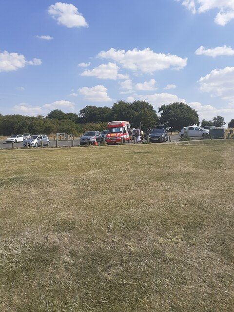
Given its accessibility and natural allure, Slough Wood attracts numerous visitors throughout the year. It offers a much-needed escape from the hustle and bustle of urban life, providing a serene and rejuvenating experience for all who venture into its enchanting depths.
If you have any feedback on the listing, please let us know in the comments section below.
Slough Wood Images
Images are sourced within 2km of 51.861278/-0.52366924 or Grid Reference TL0119. Thanks to Geograph Open Source API. All images are credited.
Slough Wood is located at Grid Ref: TL0119 (Lat: 51.861278, Lng: -0.52366924)
Unitary Authority: Central Bedfordshire
Police Authority: Bedfordshire
What 3 Words
///lifts.hope.trails. Near Kensworth, Bedfordshire
Nearby Locations
Related Wikis
Landpark Wood
Landpark Wood is a 3.6-hectare (8.9-acre) nature reserve near Whipsnade in Bedfordshire. It is managed by the Wildlife Trust for Bedfordshire, Cambridgeshire...
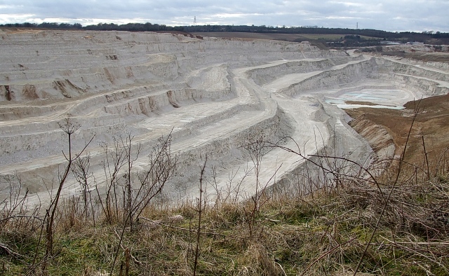
Kensworth Chalk Pit
Kensworth Chalk Quarry is a 131.3-hectare (324-acre) geological Site of Special Scientific Interest in Kensworth in Bedfordshire. It was notified under...

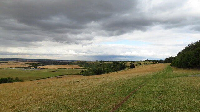
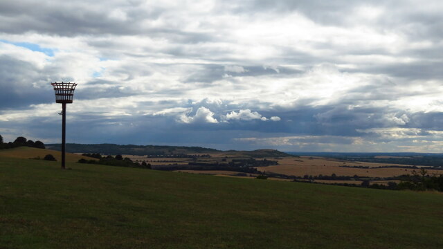
Dunstable Downs
Dunstable Downs are part of the Chiltern Hills, in southern Bedfordshire in England, located near (and named after) the town of Dunstable. They are a chalk...
Sallowsprings
Sallowsprings is a 1.3-hectare (3.2-acre) nature reserve in Whipsnade in Bedfordshire. It is managed by the Wildlife Trust for Bedfordshire, Cambridgeshire...

Whipsnade Tree Cathedral
Whipsnade Tree Cathedral is a 9.5-acre (3.8 ha) garden in the village of Whipsnade in Bedfordshire, England. It is planted in the approximate form of a...
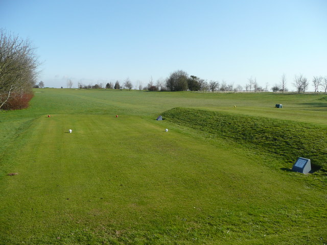
Dunstable Downs Golf Club
Dunstable Downs Golf Club is a golf club in the southwest of Dunstable, Bedfordshire, England. It was established in 1906. As of 1995 the course measured...

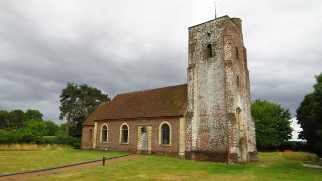
Church of St Mary, Kensworth
The Church of St Mary the Virgin is a Grade I listed church in Kensworth, Bedfordshire, England. It became a listed building on 3 February 1967. ��2...

Whipsnade
Whipsnade is a small village and civil parish in Bedfordshire, England. It lies on the eastward tail spurs of the Chiltern Hills, about 2+1⁄2 miles (4...
Nearby Amenities
Located within 500m of 51.861278,-0.52366924Have you been to Slough Wood?
Leave your review of Slough Wood below (or comments, questions and feedback).