Heydour Southings

Wood, Forest in Lincolnshire South Kesteven

England

Heydour Southings

Nightingale Farm
Nightingale Farm Credit: Jonathan Thacker

Heydour Southings is a small village located in the county of Lincolnshire, England. Situated in the Wood district, the village is known for its charming and picturesque surroundings, offering a serene and peaceful atmosphere for residents and visitors alike.

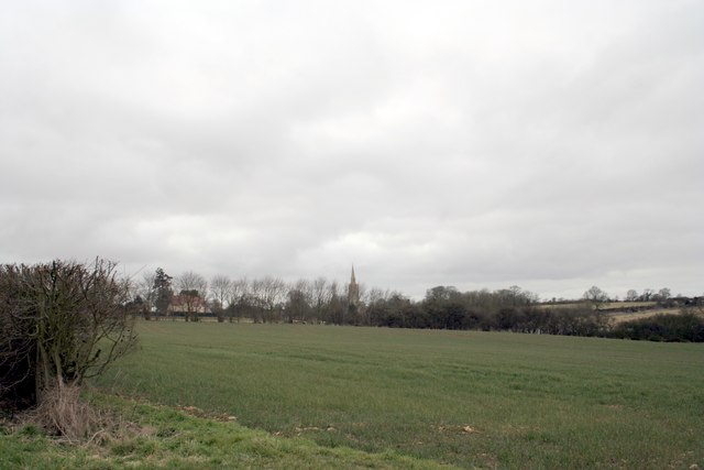
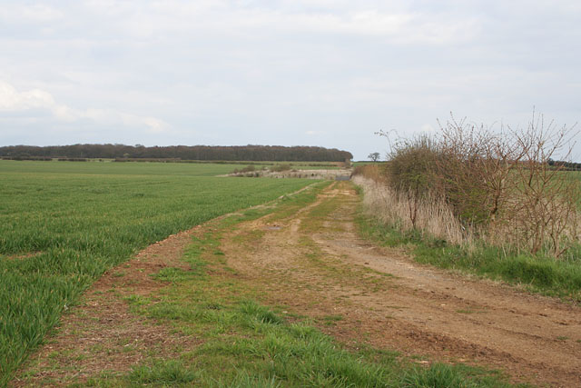
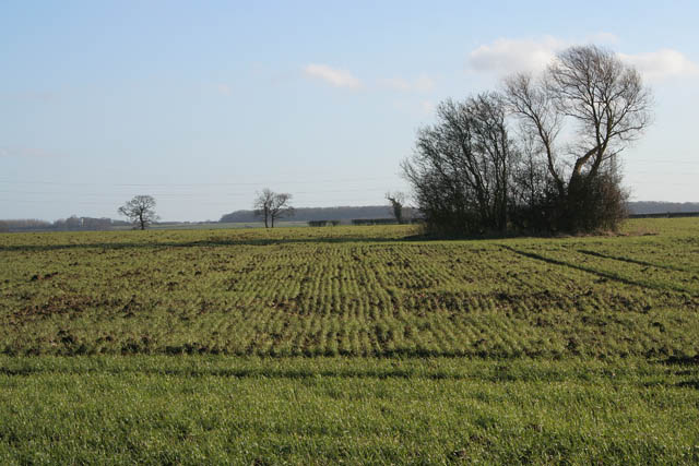
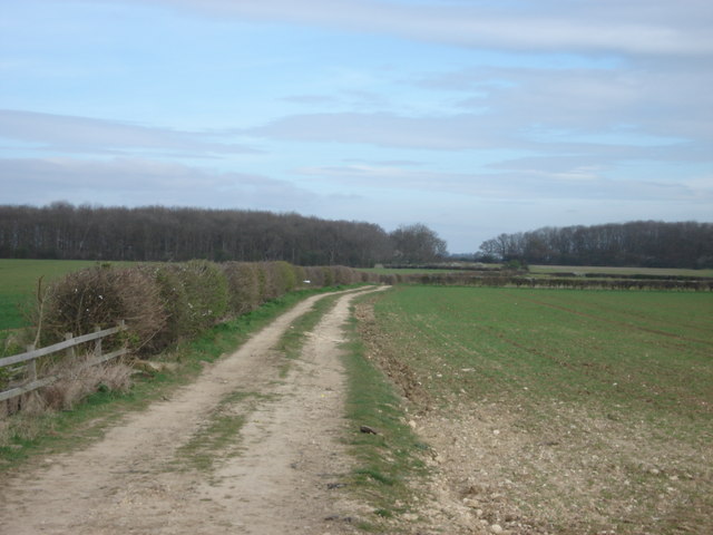
The village is nestled within a beautiful forest area, which adds to its natural appeal. The woodlands surrounding Heydour Southings are home to a diverse range of flora and fauna, making it an ideal destination for nature lovers and outdoor enthusiasts. The forest provides ample opportunities for activities such as hiking, birdwatching, and picnicking.

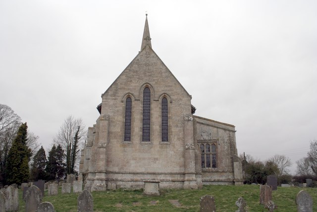
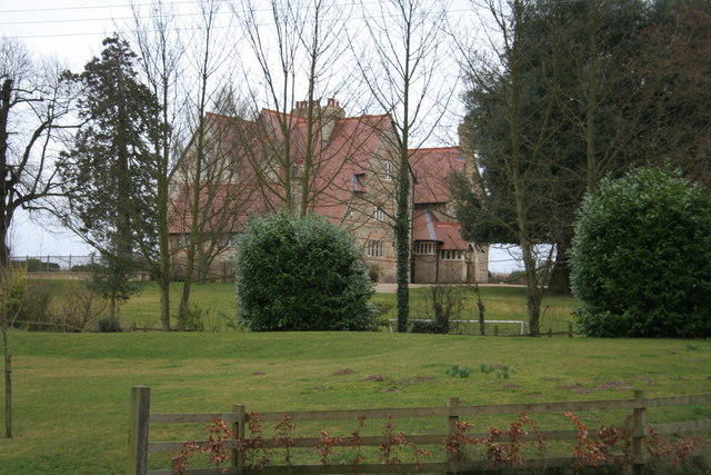
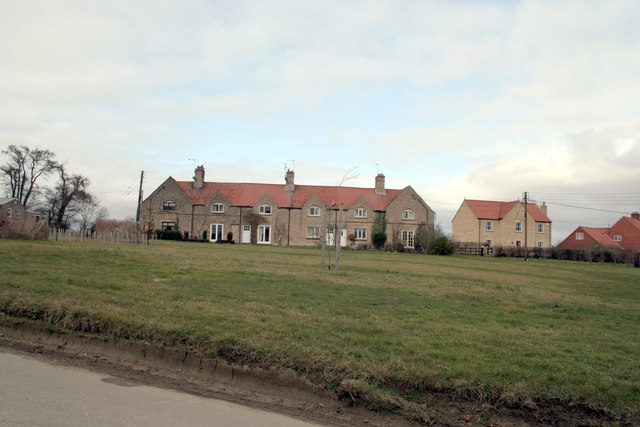
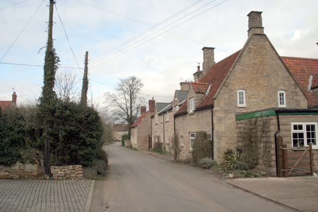
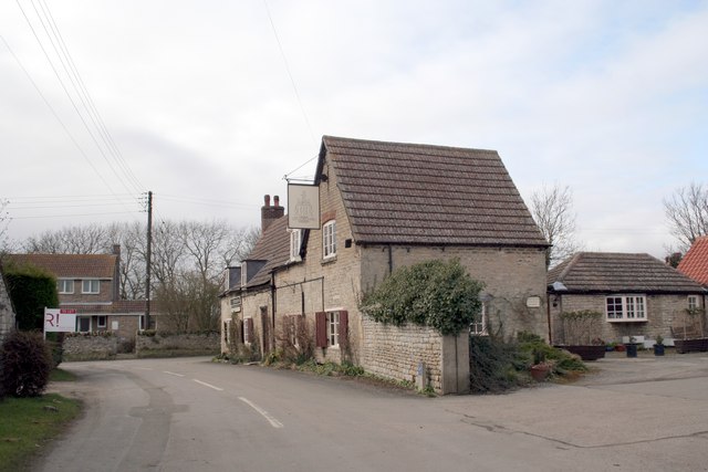
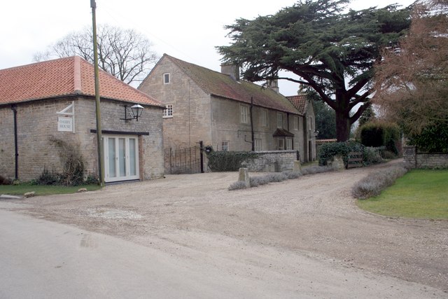
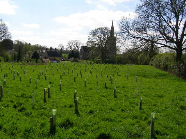
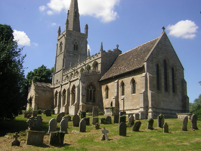
The village itself is characterized by its quaint and idyllic charm. The architecture in Heydour Southings reflects its rich history, with a mix of traditional cottages and more modern structures. The locals take pride in maintaining the village's heritage, ensuring that it retains its unique character.

Heydour Southings is also home to a close-knit community that values its strong sense of community spirit. Village events and gatherings are common, fostering a warm and welcoming atmosphere. The village hall serves as a focal point for community activities, offering a venue for various events and social gatherings.

Although relatively small in size, Heydour Southings benefits from its proximity to nearby towns and cities. The village is within easy reach of amenities such as shops, schools, and healthcare facilities, ensuring that residents have access to essential services.

In summary, Heydour Southings, located in the Wood district of Lincolnshire, offers a picturesque forest setting, a close-knit community, and a charming village atmosphere. It is a place where residents and visitors can enjoy the beauty of nature while experiencing the warmth and hospitality of the locals.

If you have any feedback on the listing, please let us know in the comments section below.

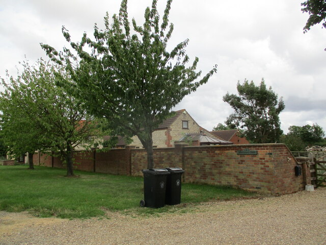
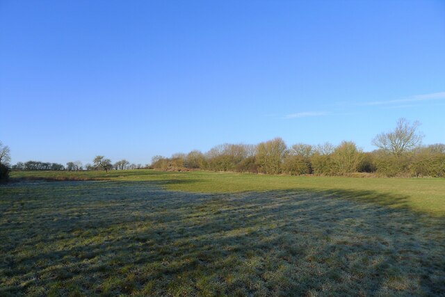
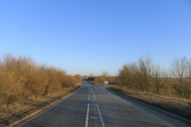
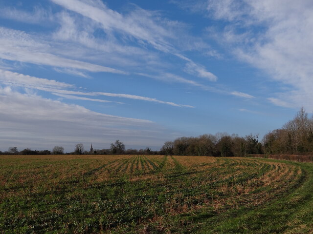
Heydour Southings Images

Images are sourced within 2km of 52.928987/-0.48946233 or Grid Reference TF0137. Thanks to Geograph Open Source API. All images are credited.

Nightingale Farm
Nightingale Farm
Site of a Roman villa by the A52 near Haceby There is little to be seen now. But earlier excavation revealed a large villa, probably of a courtyard plan consisting of eight rooms including a bath house, and artefacts including coins dating from the period 76 to 364 AD. 
<span class="nowrap"><a title="https://heritage-explorer.lincolnshire.gov.uk/Monument/MLI60730" rel="nofollow ugc noopener" href="https://heritage-explorer.lincolnshire.gov.uk/Monument/MLI60730">Link</a><img style="margin-left:2px;" alt="External link" title="External link - shift click to open in new window" src="https://s1.geograph.org.uk/img/external.png" width="10" height="10"/></span>
The site, a scheduled Ancient Monument, lies next to the A52 (beyond the hedge on right), which follows the route of a Roman road (the Salt Way).
Site of a Roman villa by the A52 near Haceby
There is little to be seen now. But earlier excavation revealed a large villa, probably of a courtyard plan consisting of eight rooms including a bath house, and artefacts including coins dating from the period 76 to 364 AD. LinkExternal link The site, a scheduled Ancient Monument, lies next to the A52 (beyond the hedge on right), which follows the route of a Roman road (the Salt Way).
Roman crossroads? The A52 approaching the turnoff to Long Hollow The A52, believed to follow the Salt Way (Roman Road 58b) close to the crossing with King Street (Roman Road 26)
Roman crossroads? The A52 approaching the turnoff to Long Hollow
The A52, believed to follow the Salt Way (Roman Road 58b) close to the crossing with King Street (Roman Road 26)
Over the field to Heydour Taken in a field opposite Culverthorpe Park.  The spire of St Michaels's and all Angels can be seen in the distance <a href="https://www.geograph.org.uk/photo/6802182">TF0039 : Church of St Michael and All Angels, Heydour</a>.
Over the field to Heydour
Taken in a field opposite Culverthorpe Park. The spire of St Michaels's and all Angels can be seen in the distance TF0039 : Church of St Michael and All Angels, Heydour.
St.Michael's church, Heydour, Lincs. fascinating architecture from Early English to Perpendicular - A big church for a small village.
St.Michael's church, Heydour, Lincs.
fascinating architecture from Early English to Perpendicular - A big church for a small village.
Across the fields to the church spire at Heydour
St Michael's Church, Heydour
Heydour House
Heydour House
Aisby Village Green
Aisby Village Green
Back Lane Oasby
Back Lane Oasby
Village Inn, Oasby.  Houblon Arms Built around 1650, the inn was initially called ‘The Old Red Lion’ and later renamed after Sir John Houblon, one of the main land-owners in the area, and the first governor of the Bank of England.
Village Inn, Oasby. Houblon Arms
Built around 1650, the inn was initially called ‘The Old Red Lion’ and later renamed after Sir John Houblon, one of the main land-owners in the area, and the first governor of the Bank of England.
Oasby House
Oasby House
Farmland near the A52, Lincolnshire This track goes halfway across the square to a small hollow. Nightingale Wood, on the eastern boundary, is on the horizon. A public footpath goes from the view point north east to Aisby and a bridleway traverses the square south from the A52 on its way to Oasby.
Farmland near the A52, Lincolnshire
This track goes halfway across the square to a small hollow. Nightingale Wood, on the eastern boundary, is on the horizon. A public footpath goes from the view point north east to Aisby and a bridleway traverses the square south from the A52 on its way to Oasby.
Country Road at Haceby, Lincolnshire A small stone and pantile barn on the lane leading out of Haceby towards the A52.
Country Road at Haceby, Lincolnshire
A small stone and pantile barn on the lane leading out of Haceby towards the A52.
Farmland near Aunsby Looking south from the road to Oasby. The clump of trees hide a tiny pond.
Farmland near Aunsby
Looking south from the road to Oasby. The clump of trees hide a tiny pond.
View towards Nightingale Plantation
Farmland south of the A52, Braceby
New plantation to the rear of Heydour church This is a new plantation of mixed young trees; with space being left on the right for the footpath wanderers of the future - when the trees have grown and changed the view.
New plantation to the rear of Heydour church
This is a new plantation of mixed young trees; with space being left on the right for the footpath wanderers of the future - when the trees have grown and changed the view.
Show me another place!

Heydour Southings is located at Grid Ref: TF0137 (Lat: 52.928987, Lng: -0.48946233)

Administrative County: Lincolnshire

District: South Kesteven

Police Authority: Lincolnshire

What 3 Words

///replenish.stables.enhances. Near Ancaster, Lincolnshire

Related Wikis

Aisby, South Kesteven

Aisby is a village in the civil parish of Heydour, in the South Kesteven district of Lincolnshire, England. It is situated 1 mile (1.6 km) north from the...

Heydour

Heydour is a hamlet and civil parish in the South Kesteven district of Lincolnshire, England. The parish population of 286 at the 2001 census rose to 311...

Oasby

Oasby is a hamlet in the civil parish of Heydour, in the South Kesteven district of Lincolnshire, England. It lies 7 miles (11 km) north-east of Grantham...

St Barbara's Church, Haceby

St Barbara's Church is a redundant Anglican church in the village of Haceby, Lincolnshire, England. It is recorded in the National Heritage List for England...

Have you been to Heydour Southings?

Leave your review of Heydour Southings below (or comments, questions and feedback).