Hog Copse

Wood, Forest in Sussex Chichester

England

Hog Copse

Devil's Hole Lock, Wey and Arun Canal, 2007 The stonework has been very drastically repaired, but no gates yet, with the canal above still yet to be watered.
Devil's Hole Lock, Wey and Arun Canal, 2007 Credit: Robin Webster

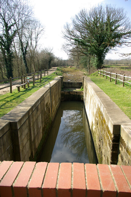
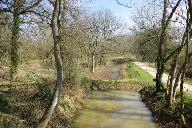
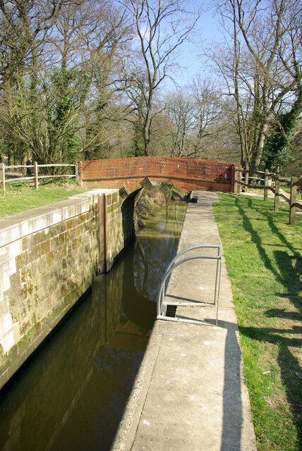
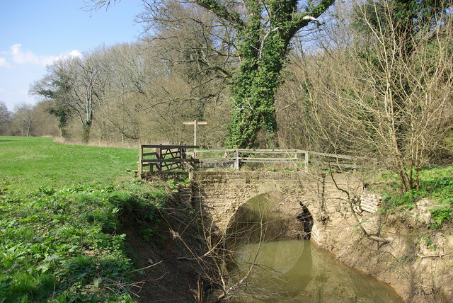
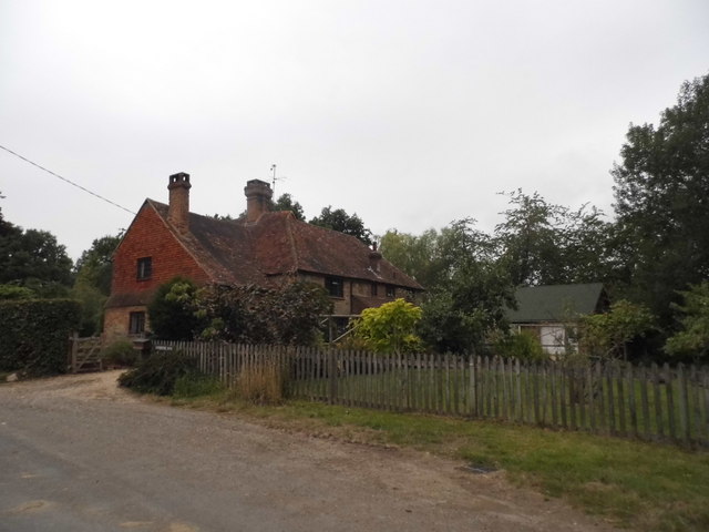
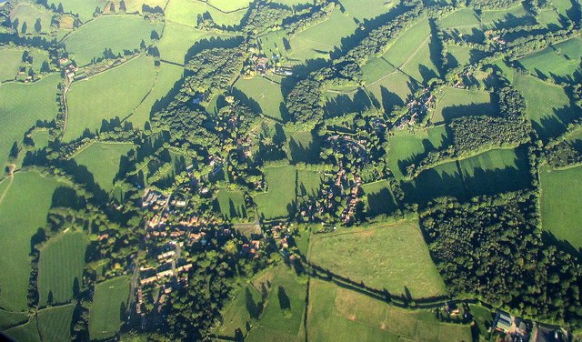
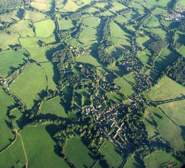
Hog Copse is a charming woodland located in Sussex, England. Situated in the South Downs National Park, this secluded forest covers an area of approximately 20 acres. The copse is known for its diverse range of flora and fauna, making it a haven for nature enthusiasts and wildlife lovers alike.

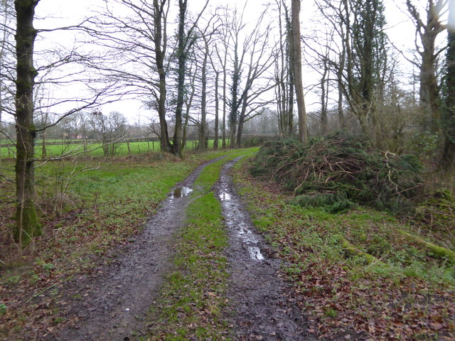
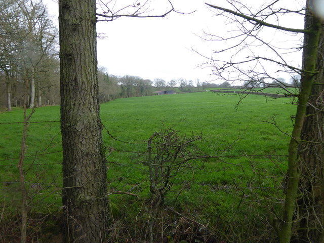
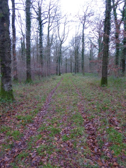
The woodland is primarily composed of dense, mature trees such as oak, beech, and ash, which provide a canopy of shade during the summer months. The forest floor is covered in a thick layer of moss, ferns, and wildflowers, creating a picturesque and serene environment.

Hog Copse is home to a variety of wildlife species, including deer, badgers, foxes, and numerous bird species. Nature enthusiasts can often spot these animals roaming freely through the woodland, making it a popular spot for photography and wildlife observation.

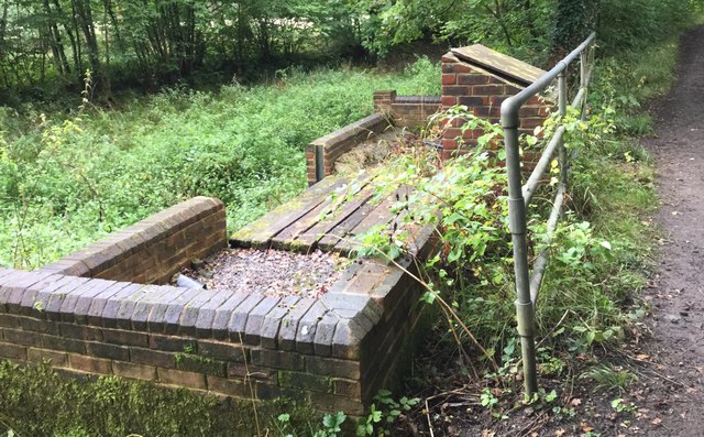
There are several walking trails that wind through the copse, allowing visitors to explore the beauty of the forest at their own pace. These trails offer breathtaking views of the surrounding countryside and provide a tranquil escape from the hustle and bustle of everyday life.

Furthermore, Hog Copse is a designated Site of Special Scientific Interest (SSSI) due to its unique ecosystem and rare plant species. Conservation efforts are in place to protect and preserve this natural gem, ensuring its beauty for generations to come.

In conclusion, Hog Copse in Sussex is a stunning woodland that offers a peaceful retreat for nature lovers. With its diverse flora and fauna, scenic walking trails, and conservation efforts, it is truly a hidden gem in the heart of Sussex.

If you have any feedback on the listing, please let us know in the comments section below.

Hog Copse Images

Images are sourced within 2km of 51.077785/-0.55059764 or Grid Reference TQ0131. Thanks to Geograph Open Source API. All images are credited.

Devil's Hole Lock, Wey and Arun Canal, 2007 The stonework has been very drastically repaired, but no gates yet, with the canal above still yet to be watered.
Devil's Hole Lock, Wey and Arun Canal, 2007
The stonework has been very drastically repaired, but no gates yet, with the canal above still yet to be watered.
Pound below Devil's Hole Lock, 2007 The partly restored Wey and Arun Canal, split into watered parts and cleared but more or less dry parts.
Pound below Devil's Hole Lock, 2007
The partly restored Wey and Arun Canal, split into watered parts and cleared but more or less dry parts.
Devil's Hole Lock, Wey and Arun Canal, 2007 The stonework has been very drastically repaired, but no gates yet, with the canal above still yet to be watered.
Devil's Hole Lock, Wey and Arun Canal, 2007
The stonework has been very drastically repaired, but no gates yet, with the canal above still yet to be watered.
Barberry Bridge, River Lox Public footpath 622_1 crosses an interesting brick bridge. Its muddy state suggests the river often floods. This is looking upstream.
Barberry Bridge, River Lox
Public footpath 622_1 crosses an interesting brick bridge. Its muddy state suggests the river often floods. This is looking upstream.
House on Foxbridge Lane, Ifold
Woodland track going southwards from the Sussex Border Path(2)
View across field to large barn On the left is the western edge of Weald Barkfold Copse.
View across field to large barn
On the left is the western edge of Weald Barkfold Copse.
Woodland track going south from the Sussex Border Path (1)
Plaistow from the air Partly also shown in <a href="https://www.geograph.org.uk/photo/5151464">TQ0030 : Southeast of Plaistow from the air</a>; Rumbold Wood and Rumbold's Farm are at lower right, along a byway from the village. See also <a href="https://www.geograph.org.uk/photo/5151473">TQ0030 : Plaistow from the air</a>.
Plaistow from the air
Partly also shown in TQ0030 : Southeast of Plaistow from the air; Rumbold Wood and Rumbold's Farm are at lower right, along a byway from the village. See also TQ0030 : Plaistow from the air.
Plaistow from the air <a href="https://www.geograph.org.uk/photo/5151470">TQ0030 : Plaistow from the air</a> from a different angle, as the aircraft I am on, from Luxembourg, takes a sharp turn towards Gatwick over the village.
Plaistow from the air
TQ0030 : Plaistow from the air from a different angle, as the aircraft I am on, from Luxembourg, takes a sharp turn towards Gatwick over the village.
Hog Wood from the air Woods and fields northwest of Ifold, with many bocage fields close to the wood. Left of centre is Sydney Farm.
Hog Wood from the air
Woods and fields northwest of Ifold, with many bocage fields close to the wood. Left of centre is Sydney Farm.
Near to Oakhurst Farm The Sussex Border Path near to Oakhurst Farm.
Near to Oakhurst Farm
The Sussex Border Path near to Oakhurst Farm.
Oakhurst Farm Oakhurst Farm viewed from the Sussex Border Path.
Oakhurst Farm
Oakhurst Farm viewed from the Sussex Border Path.
Sussex Border Path near to Oakhurst Farm Near to Oakhurst Farm the Sussex Border Path is crossed by another bridleway.
Sussex Border Path near to Oakhurst Farm
Near to Oakhurst Farm the Sussex Border Path is crossed by another bridleway.
The restored Gennets Bridge Approaching Gennets Bridge on the Wey and Arun Canal. Restoration work is nearing completion.
The restored Gennets Bridge
Approaching Gennets Bridge on the Wey and Arun Canal. Restoration work is nearing completion.
Lock Restoration at Gennets Bridge The Wey and Arun Canal Trust are restoring the lock on the Wey and Arun Canal at Gennets Bridge.
Lock Restoration at Gennets Bridge
The Wey and Arun Canal Trust are restoring the lock on the Wey and Arun Canal at Gennets Bridge.
Gennets Bridge On the Wey and Arun Canal the Gennets Bridge is being restored.
Gennets Bridge
On the Wey and Arun Canal the Gennets Bridge is being restored.
Old brickwork on the Wey and Arun Canal Beside the disused Wey and Arun Canal old brickwork carries what appears to have been an information board.
Old brickwork on the Wey and Arun Canal
Beside the disused Wey and Arun Canal old brickwork carries what appears to have been an information board.
Show me another place!

Hog Copse is located at Grid Ref: TQ0131 (Lat: 51.077785, Lng: -0.55059764)

Administrative County: West Sussex

District: Chichester

Police Authority: Sussex

What 3 Words

///refrain.buddy.jousting. Near Chiddingfold, Surrey

Nearby Locations

Hog Copse Poundfield Wood

Related Wikis

Ifold

Ifold is a hamlet in West Sussex and part of the civil Parish of Plaistow, of which it is the largest settlement. Ifold is classified as a hamlet, because...

Plaistow, West Sussex

Plaistow ( PLAST-oh) is a village and civil parish in the north of the Chichester District of West Sussex, England. There is a village green, a recreation...

Loxwood

Loxwood is a small village and civil parish with several outlying settlements, in the Chichester district of West Sussex, England, within the Low Weald...

Chiddingfold Forest

Chiddingfold Forest is a 542.5-hectare (1,341-acre) biological Site of Special Scientific Interest in Chiddingfold in Surrey and West Sussex. One part...

Loxwood F.C.

Loxwood Football Club is a football club based in Loxwood, West Sussex, England. Nicknamed "The Magpies" and affiliated to the Surrey County FA, they are...

Alfold

Alfold is a village and civil parish in Surrey, England on the West Sussex border. Alfold is a dispersed or polyfocal village in the Green Belt, which...

Fir Tree Copse

Fir Tree Copse is a 6-hectare (15-acre) nature reserve south-east of Dunsfold in Surrey. It is managed by the Surrey Wildlife Trust and is part of the...

St Ronan's School

Saint Ronan's School is an independent co-educational preparatory school for boys and girls from 3 to 13 years located in Hawkhurst in Kent, England. It...

Nearby Amenities

Located within 500m of 51.077785,-0.55059764
Barrier: kissing_gate
Lat/Long: 51.0801024/-0.5456644
Post Box
Note: appears to bea post box serving one private private residence, does not bear standard royal mail notice or reference number
Lat/Long: 51.078753/-0.5451167
The data included in this document is from www.openstreetmap.org. The data is made available under ODbL.

Have you been to Hog Copse?

Leave your review of Hog Copse below (or comments, questions and feedback).