Fittleworth Common
Wood, Forest in Sussex Chichester
England
Fittleworth Common
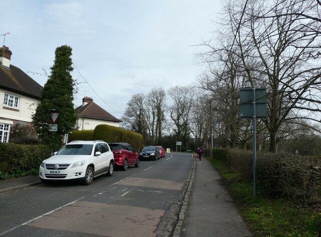
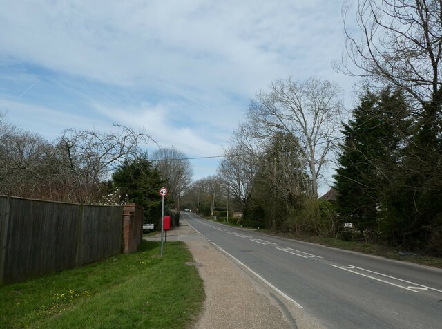
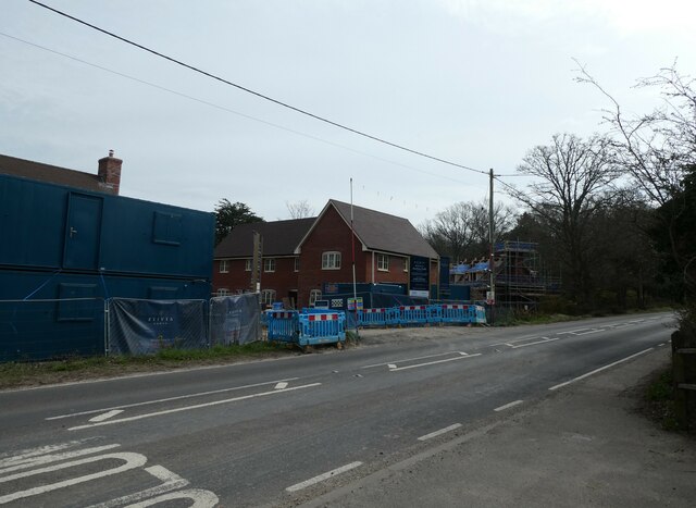
Fittleworth Common, located in the county of Sussex, is a picturesque woodland area encompassing approximately 250 acres of land. This beautiful common is known for its dense forests and lush greenery, making it a popular destination for nature enthusiasts and hikers alike.
The woodland is predominantly composed of various species of trees, including oak, beech, and ash, which create a diverse and vibrant ecosystem. The ancient woodland is home to a wide range of flora and fauna, providing habitats for numerous species of birds, mammals, and insects.
The common is crisscrossed by a network of well-maintained footpaths and trails, making it an ideal location for outdoor activities such as walking, jogging, and cycling. These paths lead visitors through the heart of the woodland, offering breathtaking views of the surrounding countryside.
Fittleworth Common also boasts a small pond, which serves as a watering hole for wildlife and adds to the overall charm of the area. The pond attracts a variety of bird species, including ducks and herons, providing birdwatchers with ample opportunities to observe and admire these magnificent creatures.
The common is managed by local conservation authorities, who work tirelessly to maintain its natural beauty and protect its delicate ecosystem. Visitors are encouraged to respect the environment and follow designated trails to minimize any disturbance to the wildlife.
Overall, Fittleworth Common is a serene and idyllic woodland area, offering visitors a chance to escape the hustle and bustle of everyday life and immerse themselves in the peacefulness of nature.
If you have any feedback on the listing, please let us know in the comments section below.
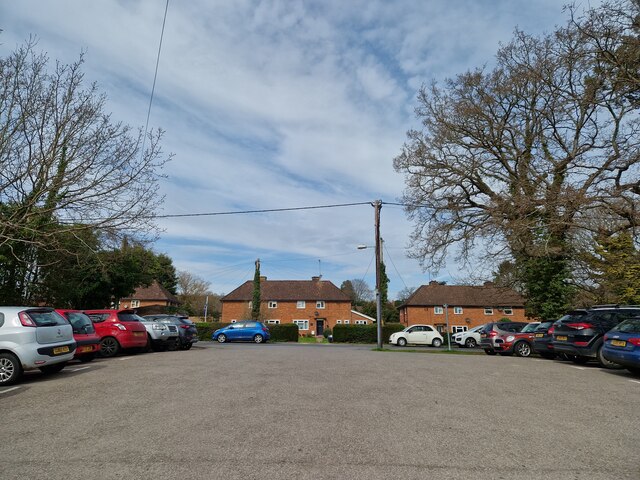
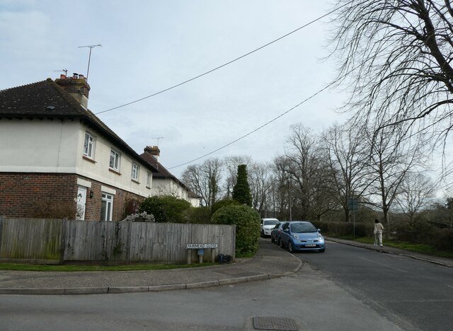
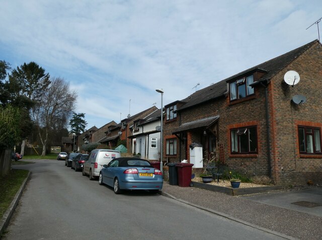
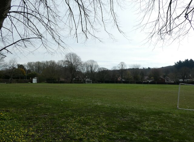
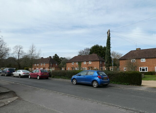
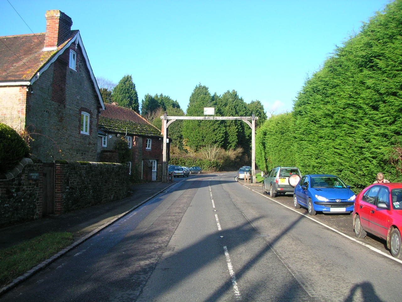
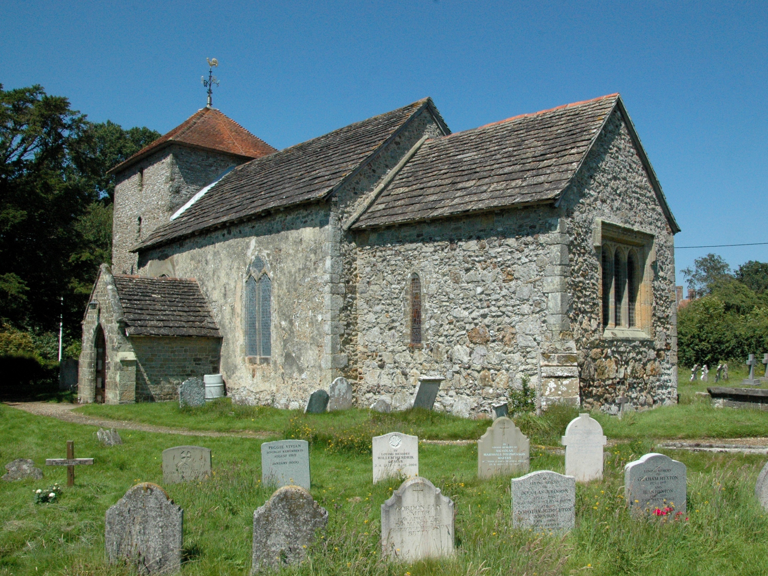
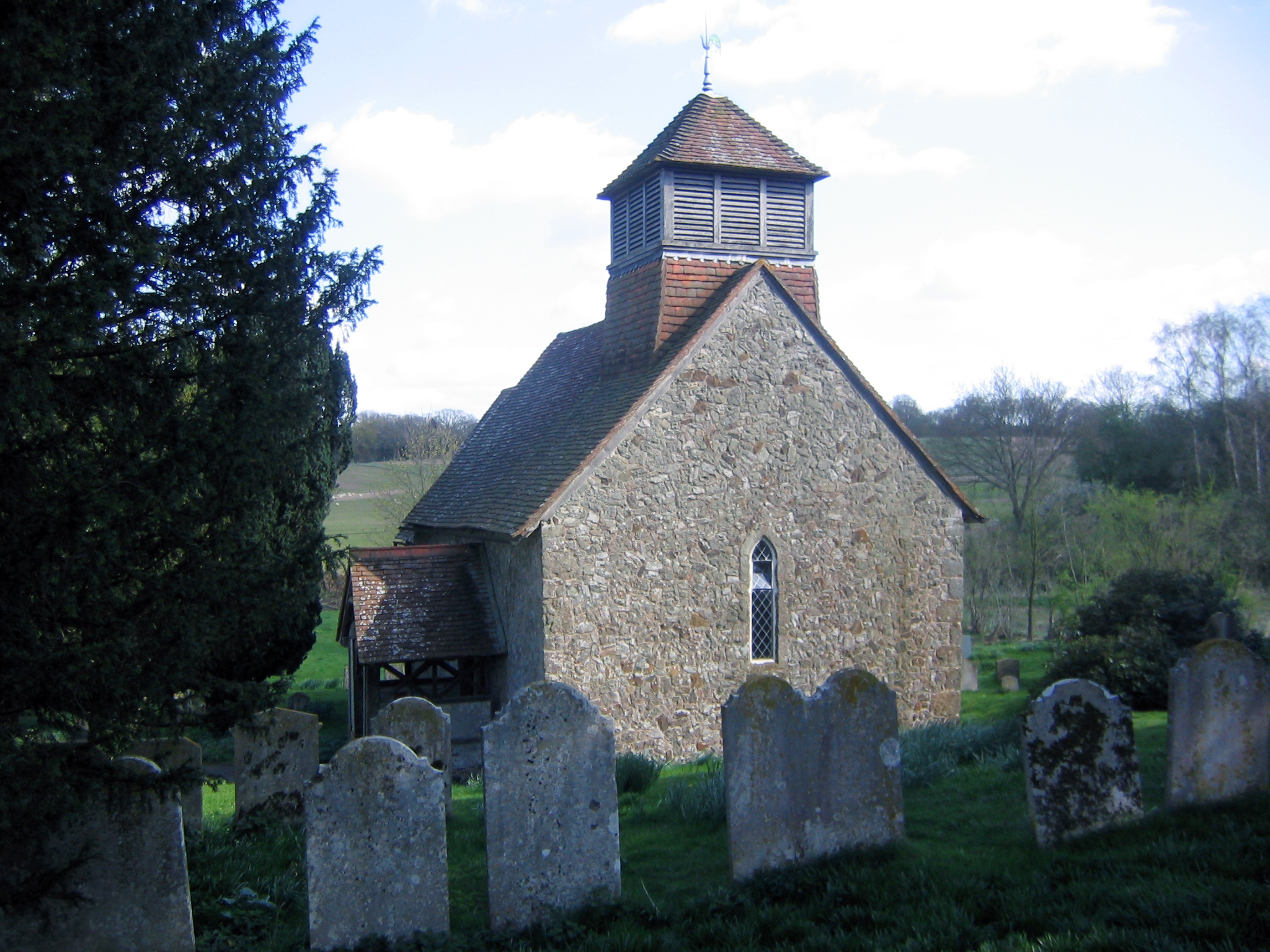
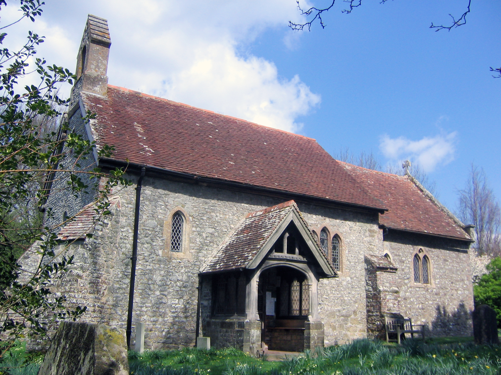
Fittleworth Common Images
Images are sourced within 2km of 50.960479/-0.55611576 or Grid Reference TQ0118. Thanks to Geograph Open Source API. All images are credited.


Fittleworth Common is located at Grid Ref: TQ0118 (Lat: 50.960479, Lng: -0.55611576)
Administrative County: West Sussex
District: Chichester
Police Authority: Sussex
What 3 Words
///necklaces.lamplight.unwraps. Near Pulborough, West Sussex
Nearby Locations
Related Wikis
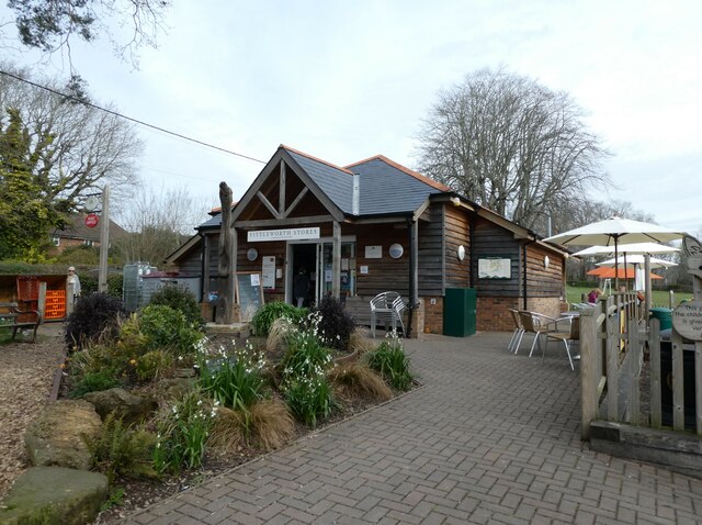
Fittleworth
Fittleworth is a village and civil parish in the District of Chichester in West Sussex, England located seven kilometres (3 miles) west from Pulborough...

Fittleworth railway station
Fittleworth railway station served the village of Fittleworth in the county of West Sussex in England. It was on the London Brighton and South Coast Railway...

Bedham
Bedham is a hamlet 4 kilometres (2+1⁄2 miles) east of Petworth in the Chichester District of West Sussex, England. It is in the civil parish of Wisborough...
Stopham
Stopham is a hamlet and civil parish in the District of Chichester in West Sussex, England, about 1.5 miles (2.4 km) west of Pulborough on the A283 road...
Coates, West Sussex
Coates is a downland village in the Chichester district of West Sussex, England. Coates lies one mile (1.7 km) southwest from Fittleworth and four miles...

South Downs Light Railway
The South Downs Light Railway is a 10+1⁄4 in (260 mm) gauge railway at Pulborough in West Sussex, England. The line opened in 2000 (after adjusting the...
Egdean
Egdean (pronounced Egg-deen) is a small village in the Chichester district of West Sussex, England. It lies just off the A283 road 1.7 miles (2.8 km) southeast...

River Rother, West Sussex
The River Rother flows from Empshott in Hampshire, England, to Stopham in West Sussex, where it joins the River Arun. At 52 kilometres (32 mi) long, most...
Nearby Amenities
Located within 500m of 50.960479,-0.55611576Have you been to Fittleworth Common?
Leave your review of Fittleworth Common below (or comments, questions and feedback).