Kiln Wood

Wood, Forest in Buckinghamshire

England

Kiln Wood

Pasture, Chalfont St Giles
Pasture, Chalfont St Giles Credit: Andrew Smith

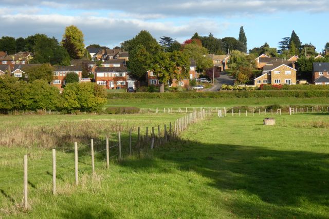
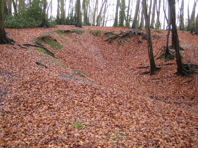
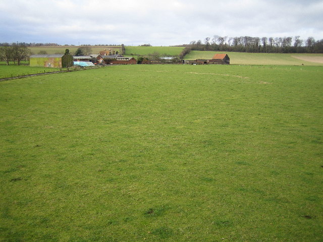
Kiln Wood is a small woodland area located in the county of Buckinghamshire, England. Situated near the town of Wood, the forest covers an area of approximately 40 hectares. The wood is primarily composed of broadleaf trees, such as oak, beech, and birch, which create a dense canopy overhead. This makes Kiln Wood an ideal habitat for a variety of wildlife species.

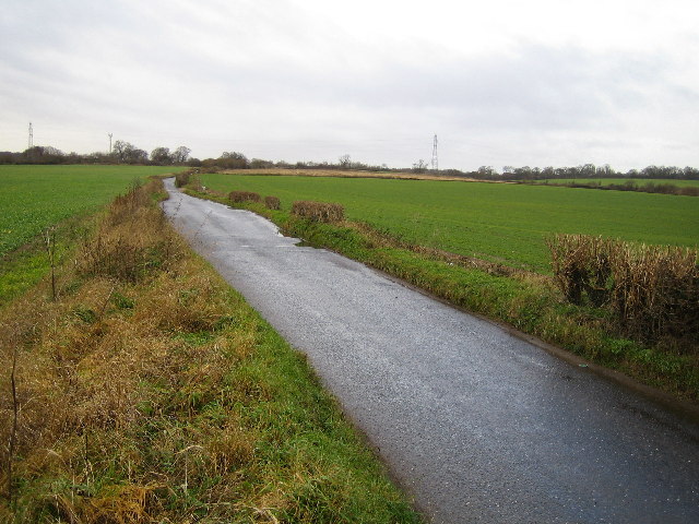
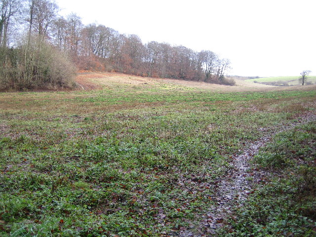
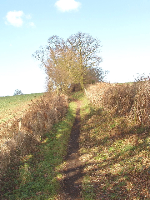
The woodland is crisscrossed by a network of well-maintained footpaths, allowing visitors to explore and appreciate the natural beauty of the area. These paths wind through the forest, leading visitors through a diverse range of landscapes, from open glades to shaded groves.

Kiln Wood is home to a rich array of flora and fauna. The forest floor is carpeted with a vibrant mix of wildflowers, including bluebells, primroses, and wood anemones. This attracts numerous species of insects, such as butterflies and bees. Birdwatchers will also appreciate the variety of avian life found here, with sightings of woodpeckers, owls, and songbirds being common.

In addition to its ecological importance, Kiln Wood also has historical significance. The wood was once used as a source of timber for fuel, with evidence of charcoal kilns dating back centuries. Today, the remnants of these kilns can still be seen, serving as a reminder of the area's past.

Overall, Kiln Wood offers a tranquil and picturesque setting for nature enthusiasts and those seeking a peaceful escape from the bustle of urban life. Its diverse ecosystem and rich cultural heritage make it a cherished natural resource in Buckinghamshire.

If you have any feedback on the listing, please let us know in the comments section below.
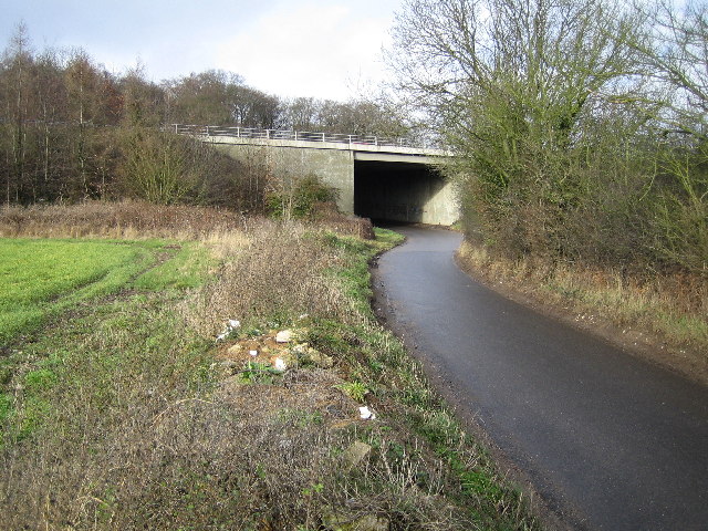
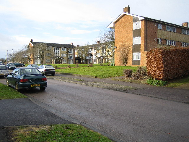
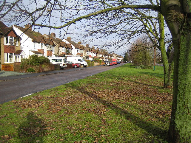
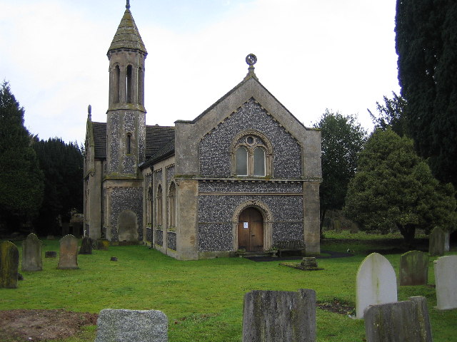
Kiln Wood Images

Images are sourced within 2km of 51.622257/-0.53580165 or Grid Reference TQ0192. Thanks to Geograph Open Source API. All images are credited.

Pasture, Chalfont St Giles
Chalfont St. Peter & Chalfont St. Giles Parish Councils
The Oaks Pub West Hyde. The road to the right leads to the Coy Carp Pub
The Oaks Pub West Hyde.
The road to the right leads to the Coy Carp Pub
The Cross Pub at Maple Cross This intersection is a busy one
The Cross Pub at Maple Cross
This intersection is a busy one
Concrete blocks on the path crossing the A412. The concrete blocks seem to have been left to prevent fly-tippers dumping and gypsies camping
Concrete blocks on the path crossing the A412.
The concrete blocks seem to have been left to prevent fly-tippers dumping and gypsies camping
M25 looking south
M25 looking south
Gravel Hill Junction Two roads leave the A413 at this point climbing up the valley side to the north and east respectively.
Gravel Hill Junction
Two roads leave the A413 at this point climbing up the valley side to the north and east respectively.
Maple Cross: Chalfont Road Chalfont Road viewed looking north westwards as it goes under the M25 Motorway bridge close to Junction 17.
Maple Cross: Chalfont Road
Chalfont Road viewed looking north westwards as it goes under the M25 Motorway bridge close to Junction 17.
Maple Cross: Longcroft Road Viewed looking westwards.
Maple Cross: Longcroft Road
Viewed looking westwards.
Maple Cross: Denham Way The main A412 Denham Way road is to the right behind the trees but this housing dating from the 1920s / 1930s faces onto its own side road running parallel to the main road.
Maple Cross: Denham Way
The main A412 Denham Way road is to the right behind the trees but this housing dating from the 1920s / 1930s faces onto its own side road running parallel to the main road.
West Hyde: The Church of St. Thomas of Canterbury Built in 1844, this Church is a little architectural gem with fine stonework around the porch, meticulously knapped flintwork, and an unusual open tower complete with gargoyles looking down.
West Hyde: The Church of St. Thomas of Canterbury
Built in 1844, this Church is a little architectural gem with fine stonework around the porch, meticulously knapped flintwork, and an unusual open tower complete with gargoyles looking down.
Maple Cross: Chalfont Lane Viewed looking westwards, with the M25 Motorway in a cutting beyond the distant electricity transmission line.
Maple Cross: Chalfont Lane
Viewed looking westwards, with the M25 Motorway in a cutting beyond the distant electricity transmission line.
Chalfont St Peter: Middle Wood A chalk dry valley with Middle Wood viewed from Bloom Wood and West Hyde Lane.
Chalfont St Peter: Middle Wood
A chalk dry valley with Middle Wood viewed from Bloom Wood and West Hyde Lane.
Chalfont St Peter: Bloom Wood There are numerous old pit workings in Bloom Wood, presumably for flints, and this is one, with the ground covered in beech leaves.
Chalfont St Peter: Bloom Wood
There are numerous old pit workings in Bloom Wood, presumably for flints, and this is one, with the ground covered in beech leaves.
Chalfont St Peter: West Hyde Lane An old landfill site on the south side of West Hyde Lane that has poor drainage and can only provide rough pasture for horses. The tyres have been dumped over the fence.
Chalfont St Peter: West Hyde Lane
An old landfill site on the south side of West Hyde Lane that has poor drainage and can only provide rough pasture for horses. The tyres have been dumped over the fence.
M25 Motorway looking north To complement the first geograph! This was taken from the Shire Lane overbridge. Shire Lane is on the boundary between Hertfordshire and Buckinghamshire, so this view is looking into Herts, and the first geograph was taken looking into Bucks.
M25 Motorway looking north
To complement the first geograph! This was taken from the Shire Lane overbridge. Shire Lane is on the boundary between Hertfordshire and Buckinghamshire, so this view is looking into Herts, and the first geograph was taken looking into Bucks.
Maple Cross: Woodoaks Farm Viewed looking westwards from the footbridge over the A412 Denham Way. Ladywalk Wood is visible to the right.
Maple Cross: Woodoaks Farm
Viewed looking westwards from the footbridge over the A412 Denham Way. Ladywalk Wood is visible to the right.
Bridleway from Denham to Chalfont Common Looking north on Shire Lane just before it joins Chalfont Lane and crosses the M25 Motorway.
Bridleway from Denham to Chalfont Common
Looking north on Shire Lane just before it joins Chalfont Lane and crosses the M25 Motorway.
Show me another place!

Kiln Wood is located at Grid Ref: TQ0192 (Lat: 51.622257, Lng: -0.53580165)

Unitary Authority: Buckinghamshire

Police Authority: Thames Valley

What 3 Words

///privately.coats.mutual. Near Maple Cross, Hertfordshire

Related Wikis

Chalfont Common

Chalfont Common is a hamlet in the parish of Chalfont St Peter, Buckinghamshire, England. It is located in the Chiltern Hills, approximately one mile...

Newland Park, Chalfont St Peter

Newland Park is a Grade II listed country house and estate near the village of Chalfont St Peter in Buckinghamshire. == History == Henry Gott bought Newland...

Chiltern tunnel

The Chiltern Tunnel is a high-speed railway tunnel currently under construction in Buckinghamshire and Hertfordshire, England, and will upon completion...

Chiltern Open Air Museum

Chiltern Open Air Museum (COAM) is an independent open-air museum of vernacular buildings and a tourist attraction located near Chalfont St Peter and Chalfont...

Maple Cross

Maple Cross is a village in Hertfordshire, England, which up until the Second World War consisted of an inn, a blacksmith's shop and a few cottages. Today...

Shrubs Wood

Shrubs Wood is a privately owned, Grade II* listed, Art Deco country house in Chalfont St Peter, Buckinghamshire, England. Built between 1933 and 1934...

Chalfont St Peter A.F.C.

Chalfont St Peter Association Football Club is a football club based in Chalfont St Peter, Buckinghamshire, England. They are currently members of the...

Philipshill Wood

Philipshill Wood is a 77 acres (31 ha) area of woodland in the English county of Buckinghamshire, situated on the border with Hertfordshire about 1 mile...

Nearby Amenities

Located within 500m of 51.622257,-0.53580165
Horn Hill
Place: hamlet
Lat/Long: 51.6209709/-0.532918
Communications tower
Man Made: tower
Tower Type: communication
Lat/Long: 51.6207013/-0.530178
Post Box
Ref: SL9 107
Lat/Long: 51.6215535/-0.5309683
Diogenes Sun Club
Tourism: camp_site
Lat/Long: 51.6231118/-0.5307796
Leisure: playground
Lat/Long: 51.6233658/-0.5312446
The data included in this document is from www.openstreetmap.org. The data is made available under ODbL.

Have you been to Kiln Wood?

Leave your review of Kiln Wood below (or comments, questions and feedback).