Gerald's Wood
Wood, Forest in Surrey Waverley
England
Gerald's Wood
Gerald's Wood, located in Surrey, England, is a picturesque forest that offers visitors a tranquil and immersive experience in nature. Covering an area of approximately 100 acres, this woodland is known for its diverse flora and fauna, making it a popular spot for nature enthusiasts and hikers alike.
The forest boasts an array of tree species, including oak, ash, and beech, which create a dense canopy, providing shade and shelter for the abundant wildlife found within. Birds such as woodpeckers, owls, and various songbirds can be spotted among the treetops, while rabbits, squirrels, and deer are frequently seen scurrying through the undergrowth.
Gerald's Wood is crisscrossed with a network of well-maintained trails, allowing visitors to explore the forest at their own pace. These trails vary in difficulty, catering to both casual strollers and avid hikers. Along the way, there are several designated picnic spots, providing a perfect opportunity to rest and enjoy the serene surroundings.
The wood is also home to a small lake, adding to the overall charm of the area. The peaceful waters attract waterfowl such as ducks and swans, creating a picturesque scene for nature lovers and photographers.
Managed by the local authorities, Gerald's Wood ensures a safe and enjoyable experience for all visitors. The forest is easily accessible, with ample parking and well-marked entrances. Additionally, there are information boards scattered throughout the wood, providing educational insights about the local wildlife and conservation efforts.
Overall, Gerald's Wood offers a delightful escape from the hustle and bustle of everyday life, providing a haven for nature enthusiasts and a sanctuary for wildlife in Surrey.
If you have any feedback on the listing, please let us know in the comments section below.
Gerald's Wood Images
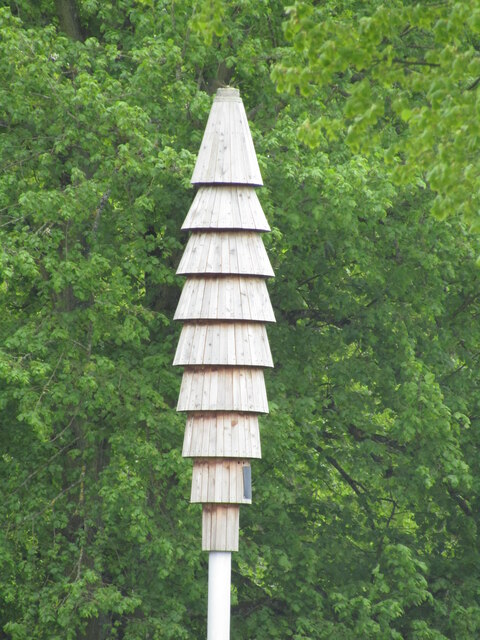
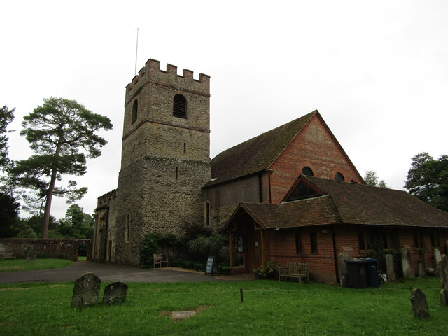
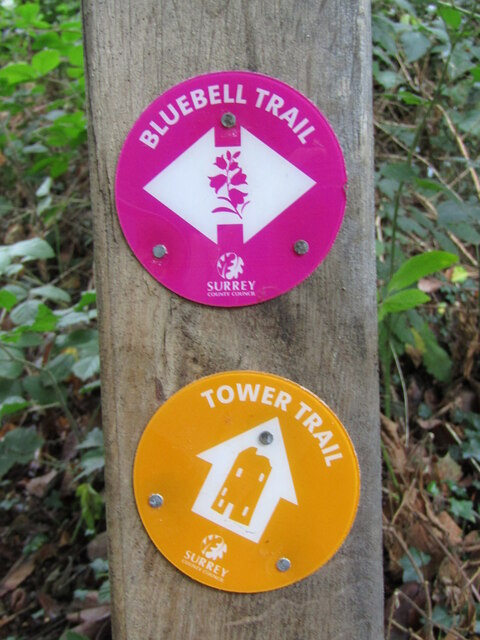
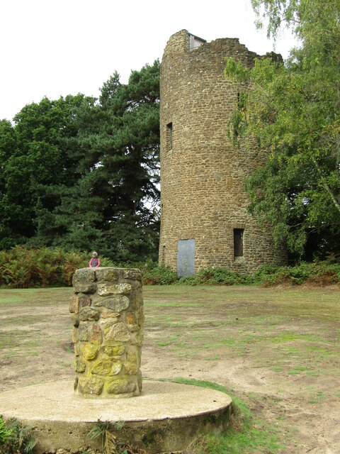
Images are sourced within 2km of 51.198524/-0.55094864 or Grid Reference TQ0145. Thanks to Geograph Open Source API. All images are credited.


Gerald's Wood is located at Grid Ref: TQ0145 (Lat: 51.198524, Lng: -0.55094864)
Administrative County: Surrey
District: Waverley
Police Authority: Surrey
What 3 Words
///stacks.voting.ready. Near Bramley, Surrey
Nearby Locations
Related Wikis
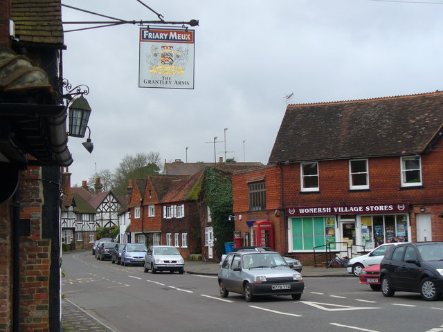
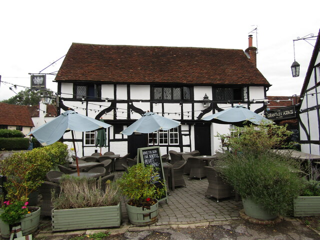
Wonersh
Wonersh is a village and civil parish in the Waverley district of Surrey, England and Surrey Hills Area of Outstanding Natural Beauty. Wonersh contains...
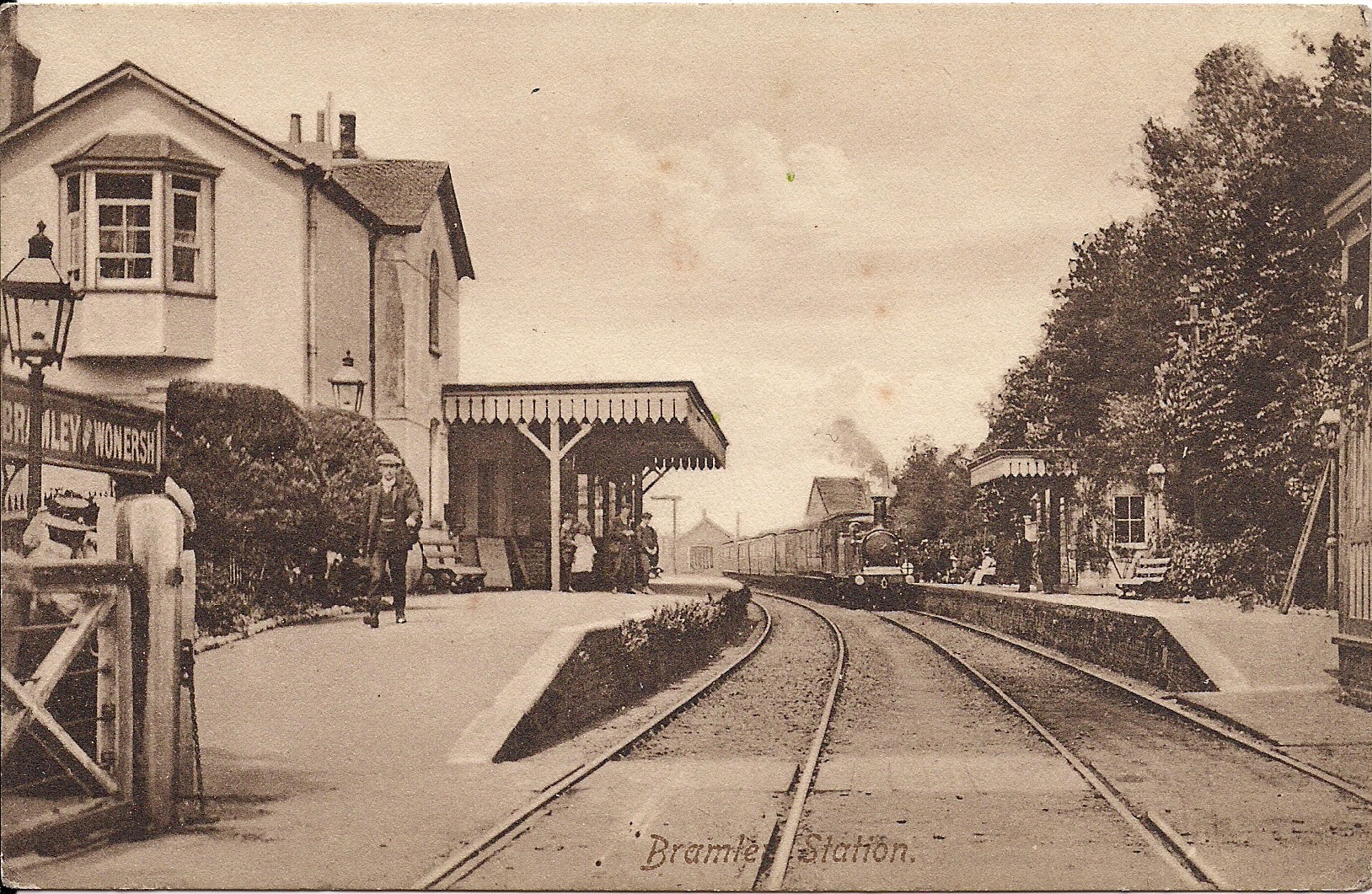
Bramley & Wonersh railway station
Bramley & Wonersh was a railway station on the Cranleigh Line. It served the villages of Bramley and Wonersh in Surrey. == History == Opened in 1865 as...

Chinthurst Hill
Chinthurst Hill is a 17.2-hectare (43-acre) Local Nature Reserve south of Guildford in Surrey. It is owned by Surrey County Council and managed by Surrey...
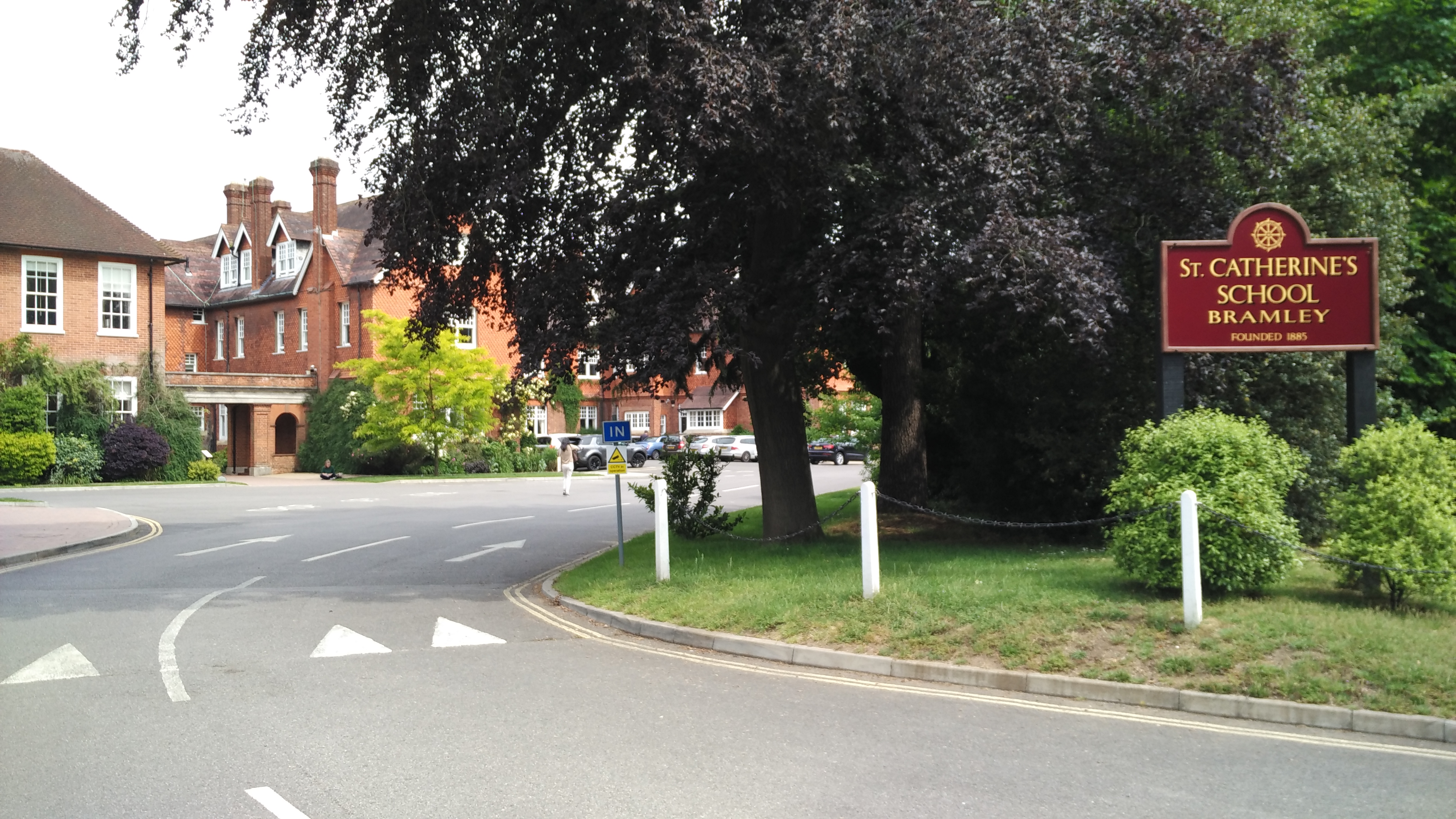
St Catherine's School, Bramley
St Catherine's School is an independent girls' boarding and day school in the village of Bramley, near Guildford, Surrey, England. The school is divided...
Nearby Amenities
Located within 500m of 51.198524,-0.55094864Have you been to Gerald's Wood?
Leave your review of Gerald's Wood below (or comments, questions and feedback).