Bullbeggar's Wood
Wood, Forest in Hertfordshire Dacorum
England
Bullbeggar's Wood
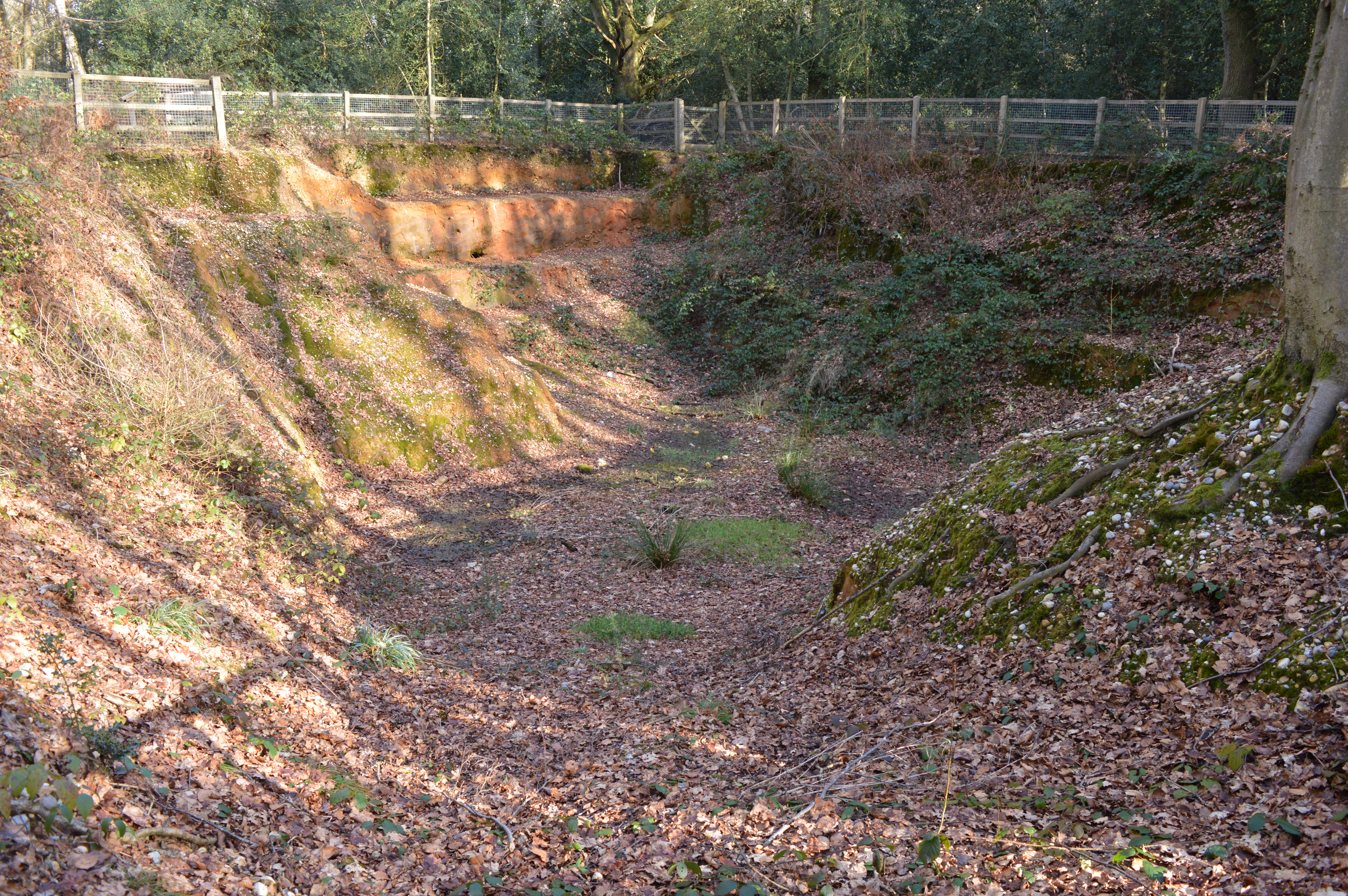
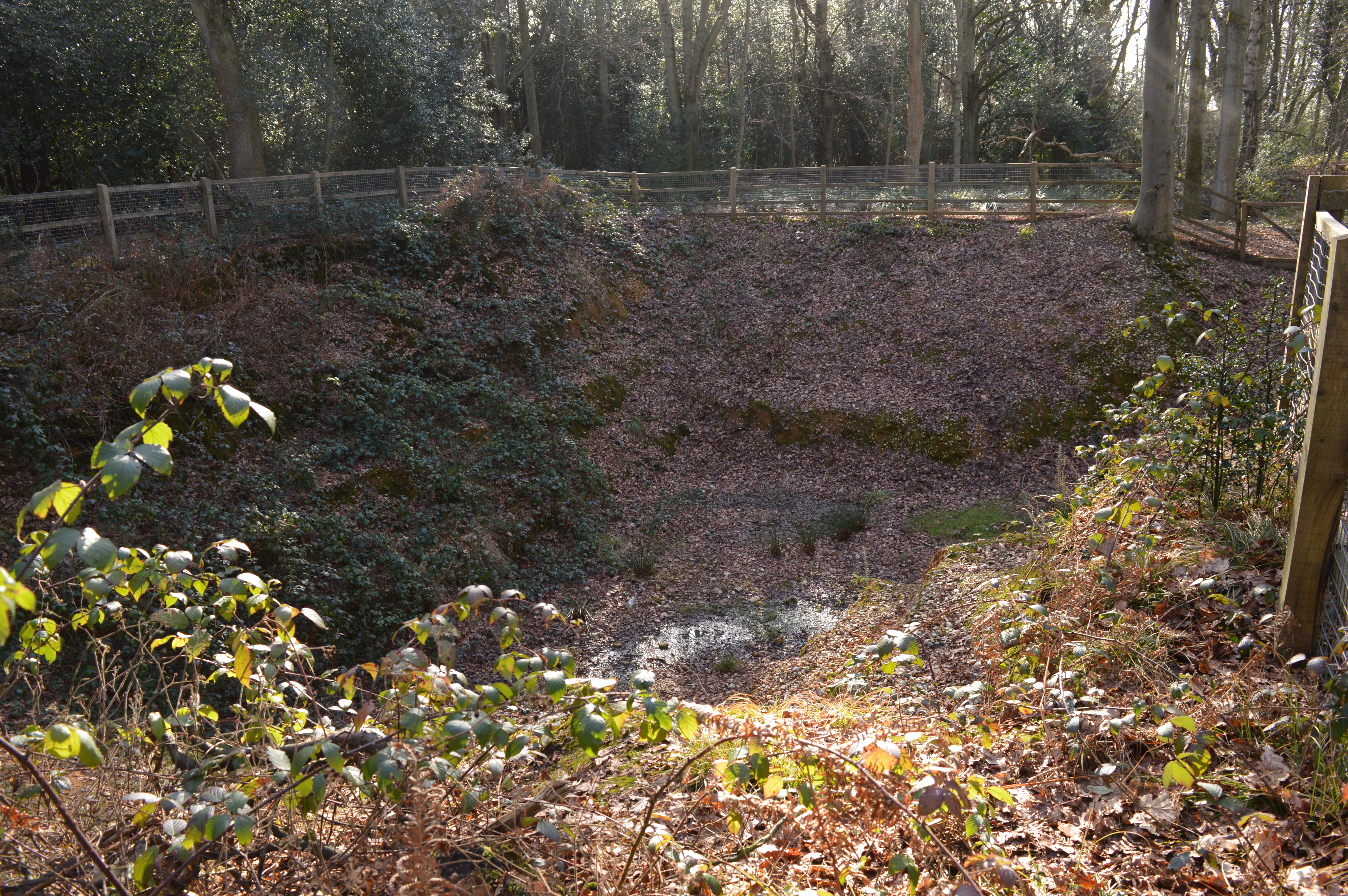
Bullbeggar's Wood is a picturesque forest located in Hertfordshire, England. Covering an area of approximately 100 acres, it is a well-preserved natural habitat teeming with diverse flora and fauna. The wood is situated on the outskirts of a small village, providing a tranquil and secluded environment for visitors to enjoy.
The forest is predominantly composed of ancient oak trees, some of which are estimated to be several hundred years old. These majestic trees create a dense canopy, casting shadows over the woodland floor and offering a cool respite during the summer months. The forest floor is carpeted with an array of wildflowers, ferns, and mosses, creating a vibrant and enchanting landscape.
Bullbeggar's Wood is home to an assortment of wildlife, making it a popular spot for nature enthusiasts and birdwatchers alike. Visitors may catch a glimpse of deer, foxes, and rabbits roaming freely in their natural habitat. The forest is also a haven for various bird species, including woodpeckers, owls, and songbirds, providing a symphony of sounds throughout the day.
There are several walking trails that wind their way through the wood, allowing visitors to explore its beauty at their own pace. These trails are well-maintained and clearly marked, ensuring a safe and enjoyable experience for all. Additionally, there are designated picnic areas where visitors can relax and take in the tranquil surroundings.
Bullbeggar's Wood is a true gem in the heart of Hertfordshire, offering a serene and idyllic setting for those seeking respite from the hustle and bustle of daily life. Whether it's a leisurely stroll, birdwatching, or simply immersing oneself in nature, this enchanting forest provides a memorable experience for all who visit.
If you have any feedback on the listing, please let us know in the comments section below.
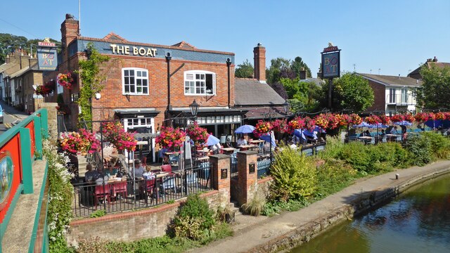
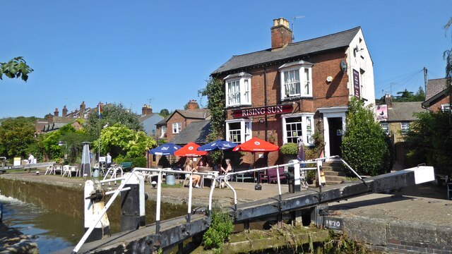
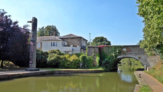
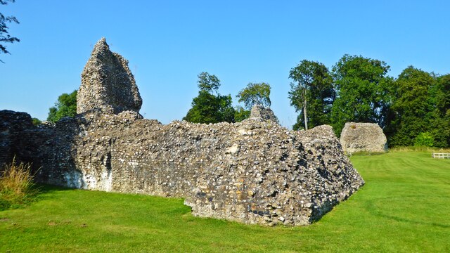
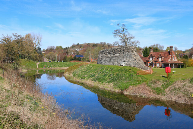
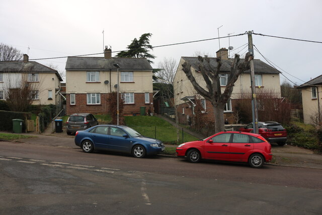
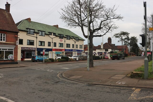
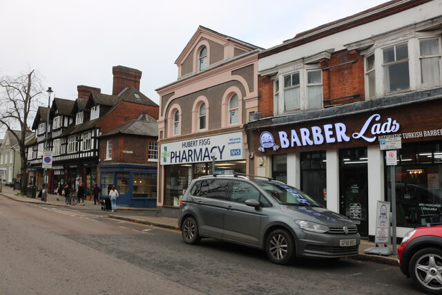
Bullbeggar's Wood Images
Images are sourced within 2km of 51.757999/-0.53371925 or Grid Reference TL0107. Thanks to Geograph Open Source API. All images are credited.


Bullbeggar's Wood is located at Grid Ref: TL0107 (Lat: 51.757999, Lng: -0.53371925)
Administrative County: Hertfordshire
District: Dacorum
Police Authority: Hertfordshire
What 3 Words
///think.lanes.sofa. Near Berkhamsted, Hertfordshire
Nearby Locations
Related Wikis
Little Heath, near Hemel Hempstead, Hertfordshire
Little Heath is a partly wooded area with scattered housing, just south of the village of Potten End, Hertfordshire, England. It represents the top of...
Little Heath Pit
Little Heath Pit is a 0.3-hectare (0.74-acre) geological Site of Special Scientific Interest at Little Heath near Potten End in Hertfordshire. It is part...
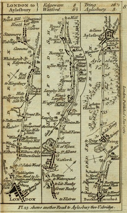
Sparrows Herne Turnpike Road
Sparrows Herne Turnpike Road from London to Aylesbury was an 18th-century English toll road passing through Watford and Hemel Hempstead. The route was...
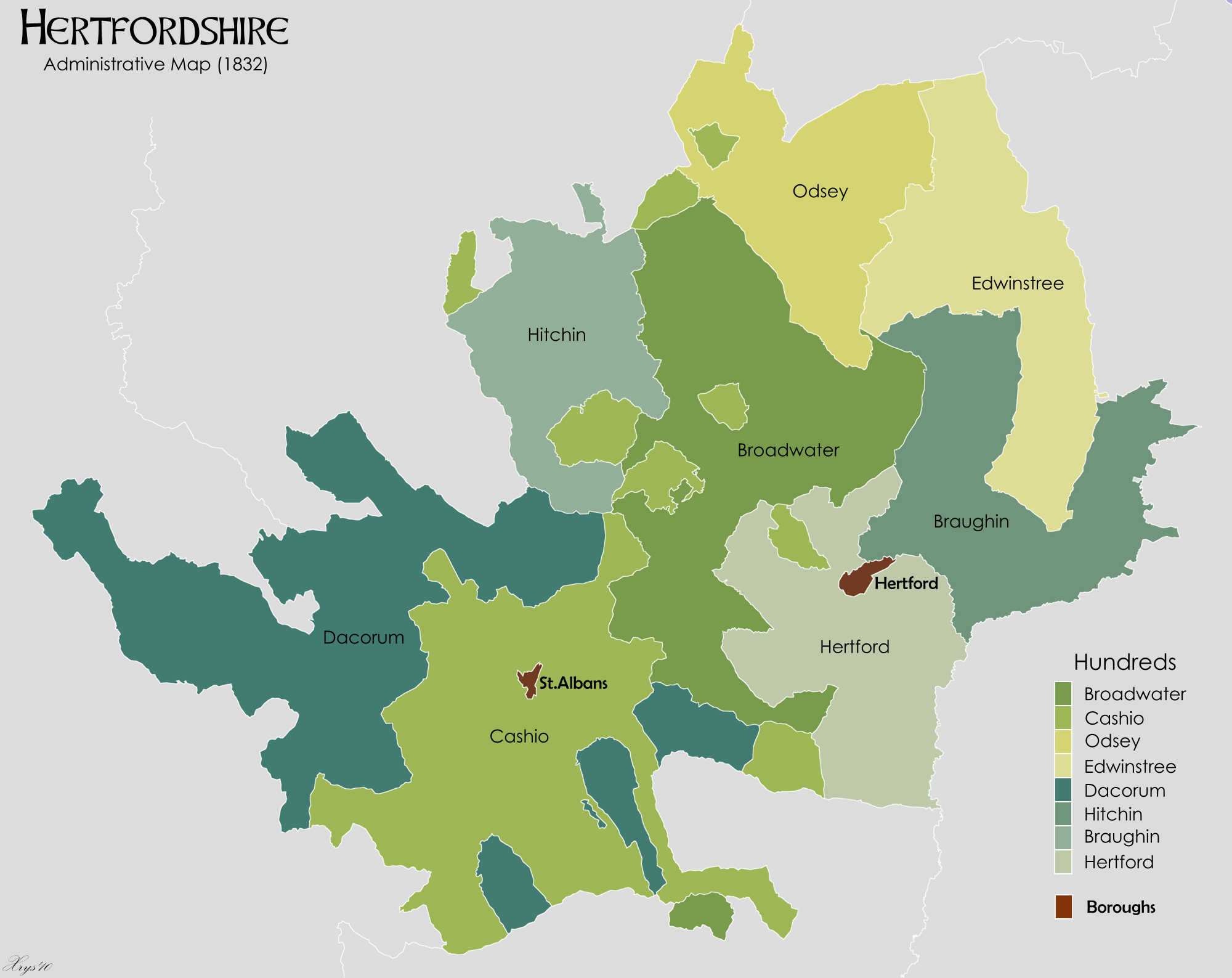
Danais (hundred)
Danais (Latinised as Dacorum) Hundred was a judicial and taxation subdivision (a hundred) of Hertfordshire, in the west of the county, that existed from...

Dacorum
Dacorum is a local government district with borough status in Hertfordshire, England. The council is based in Hemel Hempstead. The borough also includes...

Bourne End rail crash
The Bourne End rail crash occurred on 30 September 1945 when a sleeper train from Perth to London Euston derailed, killing 43. The cause was driver error...
Potten End
Potten End is a village in west Hertfordshire, England. It is located in the Chiltern Hills, two miles (3.2 km) east-north-east of Berkhamsted, three miles...
Nettleden with Potten End
Nettleden with Potten End is a civil parish in Hertfordshire, England, covering the villages of Potten End and Nettleden and the surrounding rural area...
Nearby Amenities
Located within 500m of 51.757999,-0.53371925Have you been to Bullbeggar's Wood?
Leave your review of Bullbeggar's Wood below (or comments, questions and feedback).