Anne's Plantation
Wood, Forest in Lincolnshire North Kesteven
England
Anne's Plantation
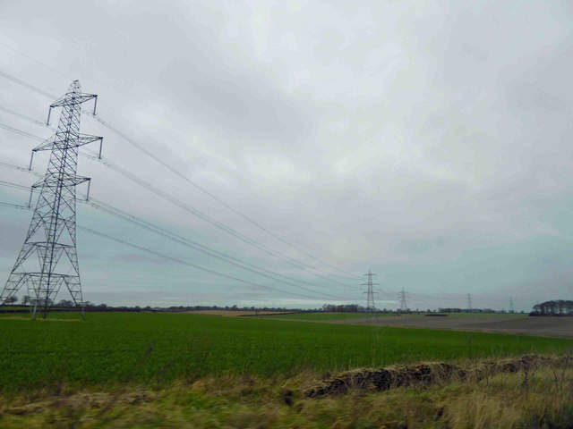
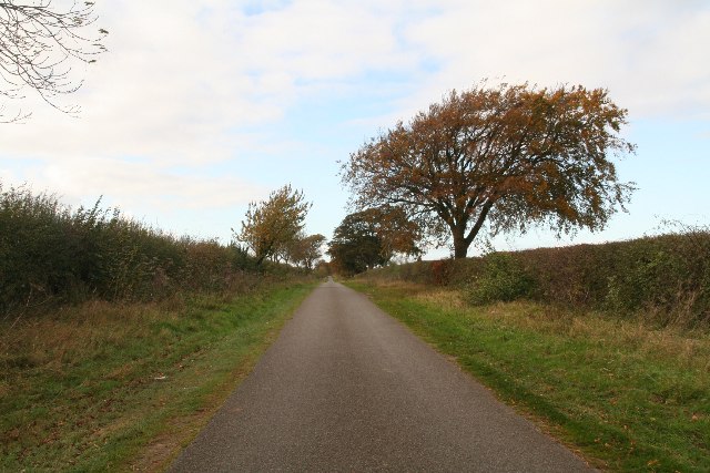
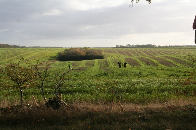
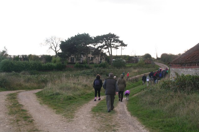
Anne's Plantation is a picturesque woodland located in the county of Lincolnshire, England. Situated just a few miles outside the bustling town of Lincoln, the plantation covers an area of approximately 50 acres and is a haven for nature enthusiasts and outdoor lovers.
The woodland is predominantly made up of native tree species, including oak, beech, and birch. These towering trees create a dense canopy, providing shade and shelter for a wide variety of flora and fauna. Bluebells and wildflowers carpet the forest floor in the spring, creating a stunning display of color.
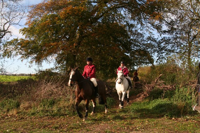
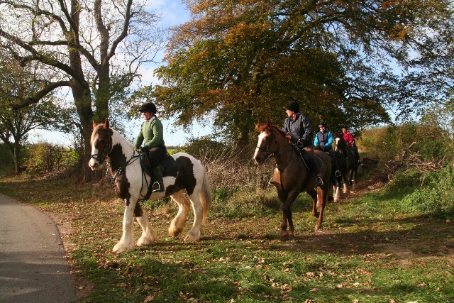
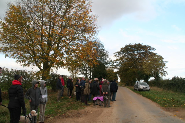
The plantation is crisscrossed by a network of well-maintained walking trails, allowing visitors to explore the woodland at their leisure. These paths meander through the trees, leading to tranquil ponds and hidden clearings, offering a peaceful retreat from the hustle and bustle of everyday life.
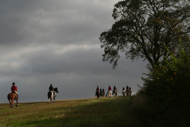
Wildlife is abundant in Anne's Plantation, with deer, foxes, and rabbits often spotted among the trees. Birdwatchers will delight in the variety of species that call the woodland home, including woodpeckers, owls, and various migratory birds.
The plantation is open to the public year-round, with no admission fee. Visitors are encouraged to respect the natural environment and take only photographs, leaving no trace behind. Anne's Plantation is the perfect destination for a leisurely stroll, a picnic, or simply to immerse oneself in the tranquility of nature.
If you have any feedback on the listing, please let us know in the comments section below.
Anne's Plantation Images
Images are sourced within 2km of 53.066888/-0.48967159 or Grid Reference TF0153. Thanks to Geograph Open Source API. All images are credited.
Anne's Plantation is located at Grid Ref: TF0153 (Lat: 53.066888, Lng: -0.48967159)
Administrative County: Lincolnshire
District: North Kesteven
Police Authority: Lincolnshire
What 3 Words
///routines.immediate.crunching. Near Cranwell, Lincolnshire
Nearby Locations
Related Wikis
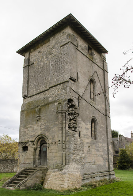
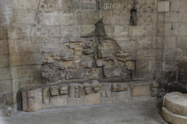
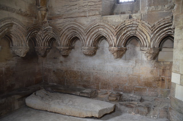
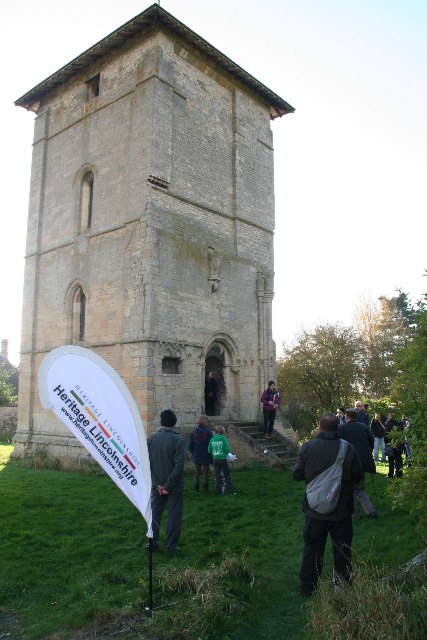
Temple Bruer Preceptory
Temple Bruer Preceptory is a historic building in the civil parish of Temple Bruer with Temple High Grange, North Kesteven, Lincolnshire, England. It...

Temple Bruer with Temple High Grange
Temple Bruer with Temple High Grange is a civil parish and a former extra-parochial area in North Kesteven, Lincolnshire, England which had in the Medieval...

Brauncewell
Brauncewell is a hamlet and former civil parish in the North Kesteven district of Lincolnshire, England. From the census 2011 the population is included...
Thompson's Bottom
Thompson's Bottom is a hamlet in the North Kesteven district of Lincolnshire, England. It is situated just under 0.5 miles (0.8 km) west from the A15 road...

Sleaford and North Hykeham (UK Parliament constituency)
Sleaford and North Hykeham is a parliamentary constituency in Lincolnshire, England which elects a single Member of Parliament (MP) to the House of Commons...
RAF Wellingore
Royal Air Force Wellingore or more simply RAF Wellingore is a former Royal Air Force fighter relief landing ground located 1.9 miles (3.1 km) south of...

Royal Air Force College Cranwell
The Royal Air Force College (RAFC) is the Royal Air Force military academy which provides initial training to all RAF personnel who are preparing to become...
Cranwell
Cranwell is a village in the North Kesteven district of Lincolnshire, England. It is part of the civil parish of Cranwell and Byard's Leap and is situated...
Nearby Amenities
Located within 500m of 53.066888,-0.48967159Have you been to Anne's Plantation?
Leave your review of Anne's Plantation below (or comments, questions and feedback).