Croakhill Plantation

Wood, Forest in Lincolnshire South Kesteven

England

Croakhill Plantation

Out for a ride Cyclists on a glorous day
Out for a ride Credit: Bob Harvey

Croakhill Plantation is a picturesque woodland located in the county of Lincolnshire, England. Situated in the heart of the county, the plantation covers an expansive area of lush greenery and dense forests, offering a serene and tranquil escape from the bustling city life.

The plantation is known for its diverse range of trees, including oak, beech, and birch, which create a vibrant tapestry of colors throughout the seasons. The woodland floor is adorned with a variety of wildflowers and ferns, adding to its natural beauty.

Croakhill Plantation is a haven for wildlife, providing a sanctuary for numerous species. Visitors can spot an array of bird species, such as woodpeckers, owls, and thrushes, as well as small mammals like squirrels and rabbits. The plantation is also home to larger mammals like deer and foxes, which roam freely within its boundaries.

The plantation offers a range of recreational activities for visitors to enjoy. There are well-maintained walking trails that wind through the woodland, allowing nature enthusiasts to explore its hidden gems. Picnic areas are scattered throughout the plantation, providing the perfect spot to relax and enjoy the surroundings. Additionally, the plantation hosts educational programs and guided tours, giving visitors the opportunity to learn about the local flora and fauna.

Croakhill Plantation is a true gem of Lincolnshire, offering a peaceful retreat for nature lovers and an invaluable habitat for wildlife. With its stunning landscapes and abundance of biodiversity, it is a must-visit destination for those seeking a connection with nature.

If you have any feedback on the listing, please let us know in the comments section below.

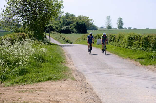
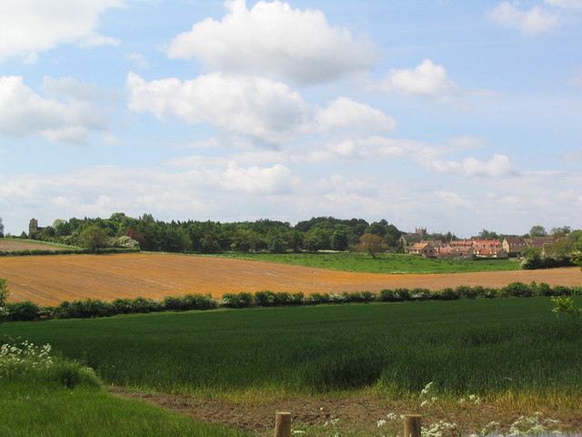
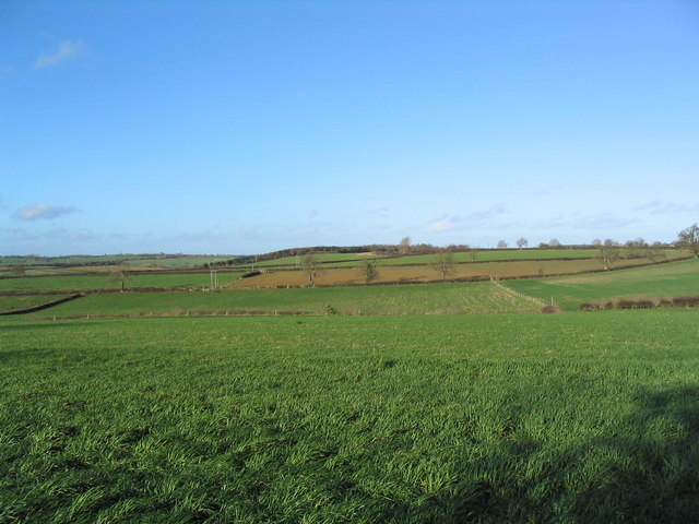
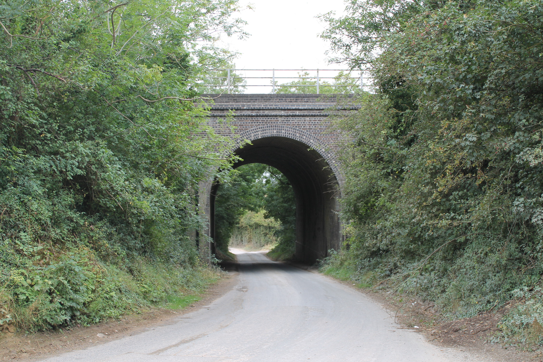
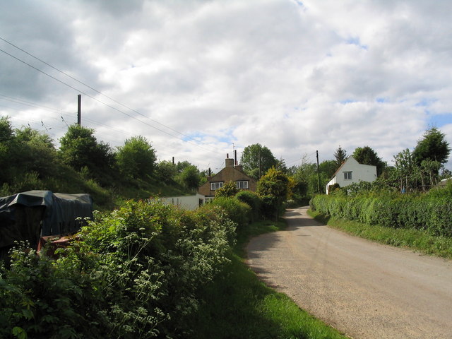
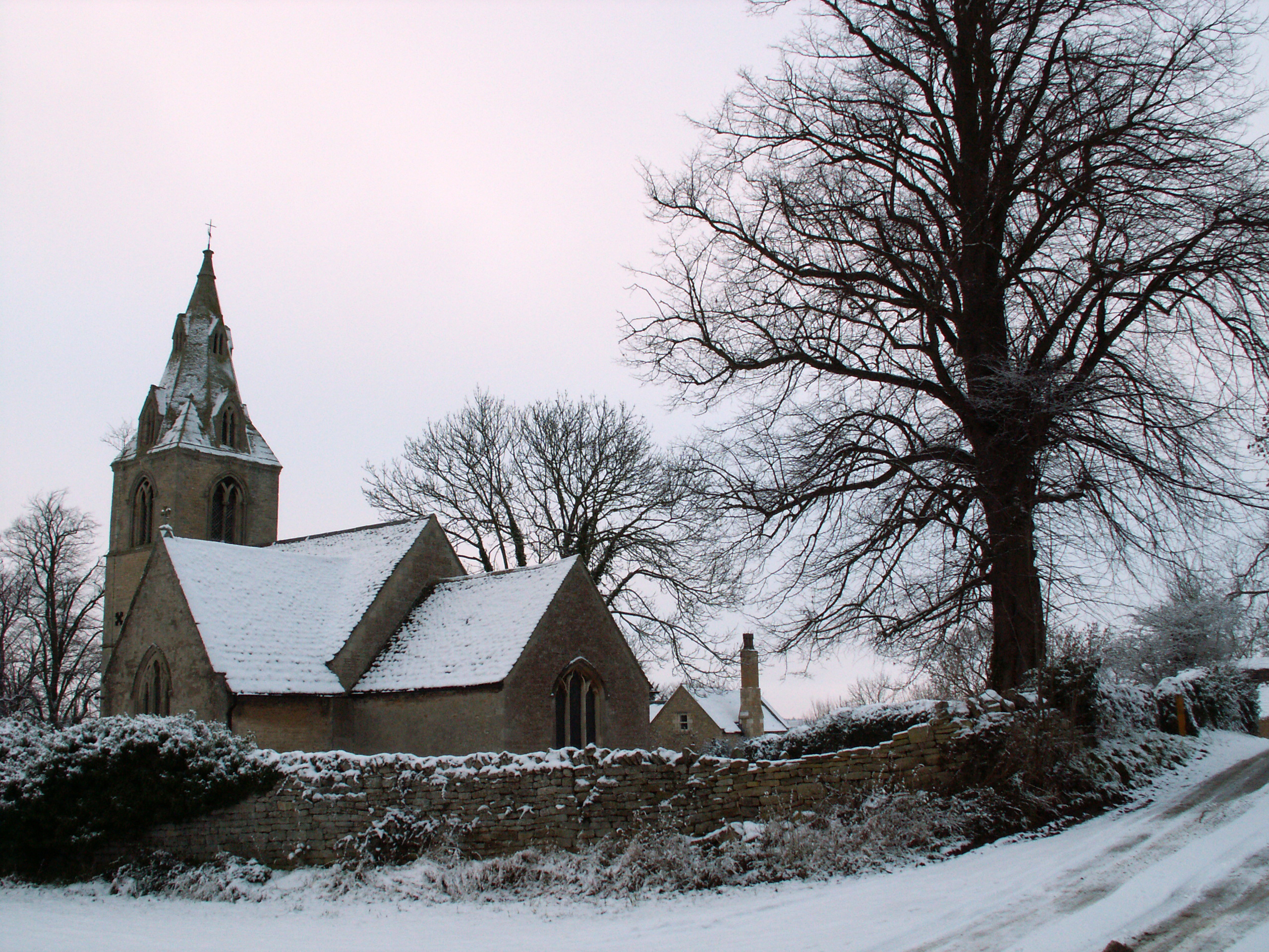
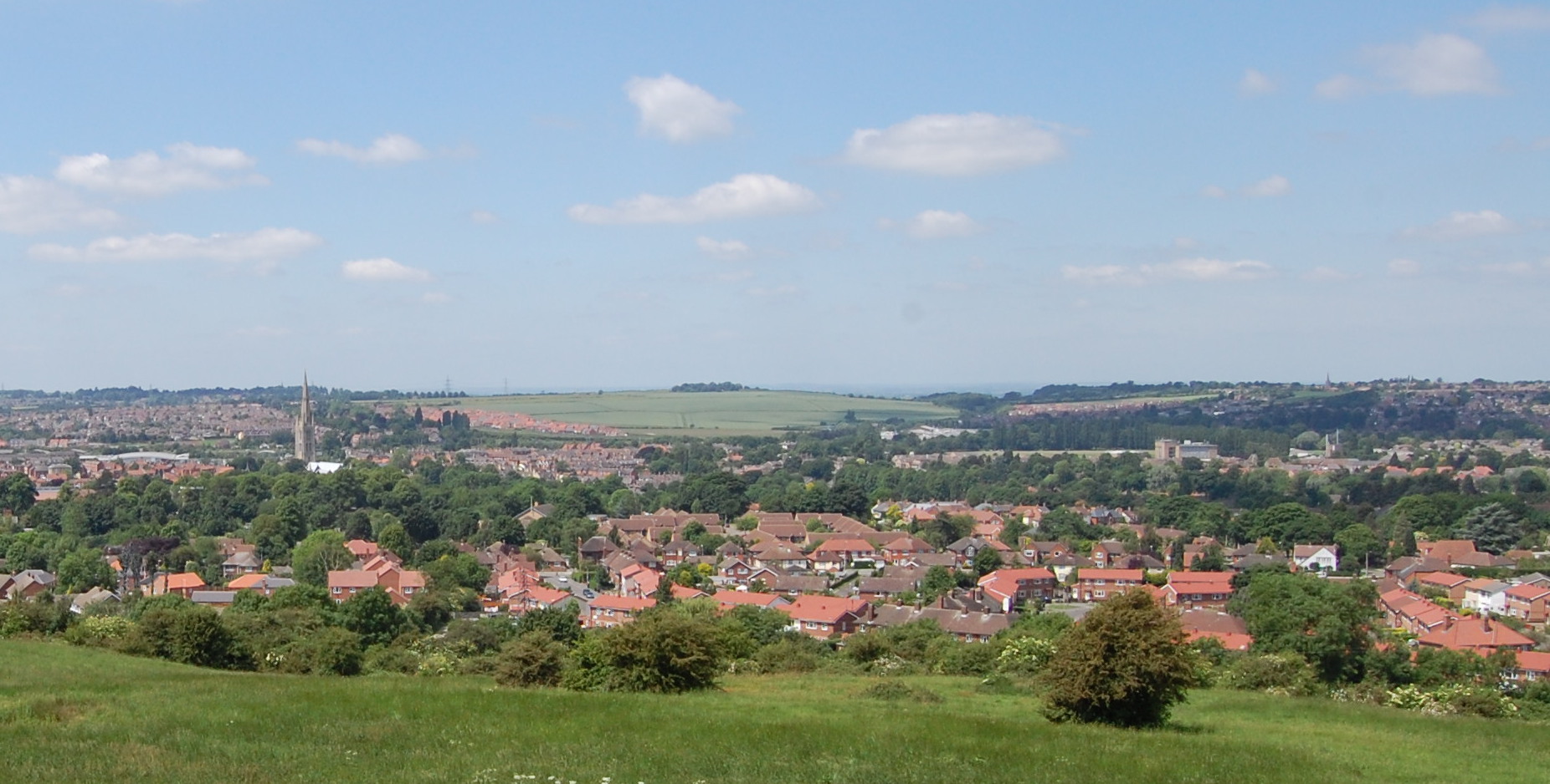
Croakhill Plantation Images

Images are sourced within 2km of 52.7782/-0.50482908 or Grid Reference TF0021. Thanks to Geograph Open Source API. All images are credited.

Out for a ride Cyclists on a glorous day
Out for a ride
Cyclists on a glorous day
Swinstead
Swinstead
Church of St Mary, Swinstead
Counthorpe The name 'Mallard Cottage' for the white building has nothing to do with birds. The East Coast Main Line runs along the embankment immediately opposite
Counthorpe
The name 'Mallard Cottage' for the white building has nothing to do with birds. The East Coast Main Line runs along the embankment immediately opposite
Counthorpe House
Counthorpe House
Swinstead from Forstedd Hill
'The Drift', east of Swayfield 'Drift' is not an uncommon name for lanes in this area, and presumably refers to their use for driving cattle. This attractive lane runs for about 2 miles, from the road junction on the east side of Swayfield (distance), south to Creeton. Marred only by the sound of trains on the nearby East Coast main line.
'The Drift', east of Swayfield
'Drift' is not an uncommon name for lanes in this area, and presumably refers to their use for driving cattle. This attractive lane runs for about 2 miles, from the road junction on the east side of Swayfield (distance), south to Creeton. Marred only by the sound of trains on the nearby East Coast main line.
View east from The Drift The West Glen River flows along the foot of the escarpment, with 'The Ram' plantation on the hill.
View east from The Drift
The West Glen River flows along the foot of the escarpment, with 'The Ram' plantation on the hill.
Valley of the West Glen River A footpath runs from The Drift (behind camera), alongside the hedge bounding Gorse Hill plantation (left), across the river, and up the far bank to Swinstead.
Valley of the West Glen River
A footpath runs from The Drift (behind camera), alongside the hedge bounding Gorse Hill plantation (left), across the river, and up the far bank to Swinstead.
'The Drift', north of Creeton View north of this attractive lane, which runs parallel to the West Glen River (to right)
'The Drift', north of Creeton
View north of this attractive lane, which runs parallel to the West Glen River (to right)
Footbridge over the West Glen River View north, with Croakhill Plantation on the right. The footpath runs from The Drift (left) to Creeton Farm on the Creeton-Swinstead road (right)
Footbridge over the West Glen River
View north, with Croakhill Plantation on the right. The footpath runs from The Drift (left) to Creeton Farm on the Creeton-Swinstead road (right)
Creeton Farm
Creeton Farm
View north-west of TF0120 Showing most of square TF0120, with Croakhill Plantation in the distance. Taken from the footpath running east from Creeton toward Grimsthorpe Park, which cuts across the south-east corner of the square.
View north-west of TF0120
Showing most of square TF0120, with Croakhill Plantation in the distance. Taken from the footpath running east from Creeton toward Grimsthorpe Park, which cuts across the south-east corner of the square.
Swinstead Road, north of Creeton 'Spring Buildings Plantation' to the left of the road at the top of the hill.
Swinstead Road, north of Creeton
'Spring Buildings Plantation' to the left of the road at the top of the hill.
Mistletoe in lime trees; Steel's Riding, Grimsthorpe Park The track running west-east through the southern part of Grimsthorpe Park is lined with lime trees, heavily infested with mistletoe. The trees look rather sick - but I've only seen them in their leaf-free, winter months.
Mistletoe in lime trees; Steel's Riding, Grimsthorpe Park
The track running west-east through the southern part of Grimsthorpe Park is lined with lime trees, heavily infested with mistletoe. The trees look rather sick - but I've only seen them in their leaf-free, winter months.
Western end of 'Steel's Riding', Grimsthorpe Park With one of the many mistletoe-infested lime trees.
Western end of 'Steel's Riding', Grimsthorpe Park
With one of the many mistletoe-infested lime trees.
View north towards Park House, Grimsthorpe Park
Farm buildings, Grimsthorpe Park The track runs north-west towards Swinstead.
Farm buildings, Grimsthorpe Park
The track runs north-west towards Swinstead.
Show me another place!

Croakhill Plantation is located at Grid Ref: TF0021 (Lat: 52.7782, Lng: -0.50482908)

Administrative County: Lincolnshire

District: South Kesteven

Police Authority: Lincolnshire

What 3 Words

///remix.springing.birthdays. Near Corby Glen, Lincolnshire

Nearby Locations

Croakhill Plantation

Related Wikis

Counthorpe and Creeton

Counthorpe and Creeton is a civil parish in the South Kesteven district of Lincolnshire, England. According to the 2001 census it had a population of...

Counthorpe

Counthorpe is a hamlet in the civil parish of Counthorpe and Creeton in the South Kesteven district of Lincolnshire, England. It adjoins the hamlet of...

Creeton

Creeton is a hamlet in the civil parish of Counthorpe and Creeton in the South Kesteven district of Lincolnshire, England. It is situated 3 miles (5 km...

Swinstead

Swinstead is a village and civil parish in the South Kesteven district of Lincolnshire, England. It is situated 5 miles (8.0 km) west from Bourne, 9 miles...

Swayfield

Swayfield is a village and civil parish in the South Kesteven district of Lincolnshire, England. The population of the civil parish at the 2011 census...

South Kesteven

South Kesteven is a local government district in Lincolnshire, England, forming part of the traditional Kesteven division of the county. Its council is...

Grantham and Stamford (UK Parliament constituency)

Grantham and Stamford is a constituency in Lincolnshire represented in the House of Commons of the UK Parliament since 2019 by Gareth Davies, a Conservative...

Vaudey Abbey

Vaudey Abbey , also known as Vandy Abbey or Vandey Abbey, was an English Cistercian abbey. It was founded in 1147 by William, Count of Aumale, Earl of...

Nearby Amenities

Located within 500m of 52.7782,-0.50482908
Ele: 52.0000000
Lat/Long: 52.7768203/-0.5108898
Ele: 41.0000000
Lat/Long: 52.7797049/-0.5118199
The data included in this document is from www.openstreetmap.org. The data is made available under ODbL.

Have you been to Croakhill Plantation?

Leave your review of Croakhill Plantation below (or comments, questions and feedback).