Gorse Plantation

Wood, Forest in Yorkshire

England

Gorse Plantation

Rapeseed flowering on The Yorkshire Wolds East of Little Weighton
Rapeseed flowering on The Yorkshire Wolds Credit: Neil Theasby

Gorse Plantation is a woodland area located in Yorkshire, England. Spanning across a vast area, it is considered one of the most prominent plantations in the region. The plantation is predominantly composed of gorse plants, which are known for their vibrant yellow flowers and thorny branches.

The gorse plants, also referred to as Ulex europaeus, are native to the area and thrive in the plantation's sandy soil. Their dense growth provides an ideal habitat for various wildlife species, making Gorse Plantation a popular spot for nature enthusiasts and birdwatchers.

The plantation is open to the public and offers a network of well-maintained trails, allowing visitors to explore the area at their own pace. The paths wind through the plantation, offering stunning views of the gorse in full bloom during the spring and summer months. The vibrant yellow flowers create a striking contrast against the greenery, providing a picturesque backdrop for avid photographers.

In addition to the gorse plants, Gorse Plantation is also home to a diverse range of trees, including oak, birch, and pine. These trees add to the overall beauty and biodiversity of the woodland, attracting a variety of bird species, such as woodpeckers and thrushes.

Overall, Gorse Plantation is a unique and enchanting woodland area in Yorkshire, offering visitors the opportunity to immerse themselves in nature and enjoy the beauty of the gorse plants and surrounding trees.

If you have any feedback on the listing, please let us know in the comments section below.

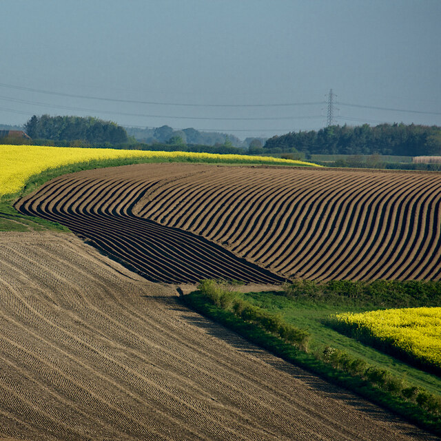
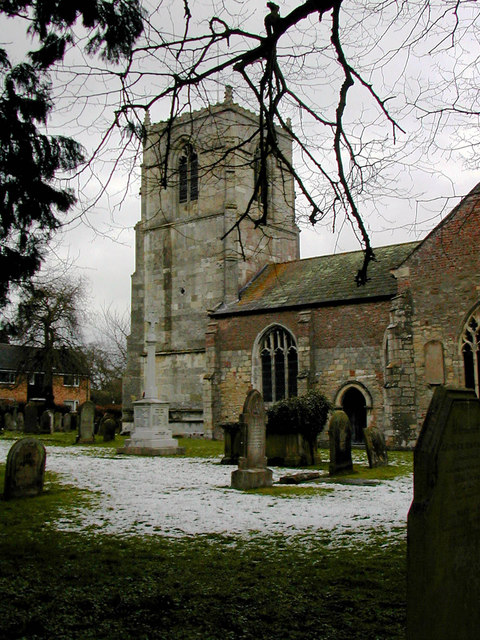
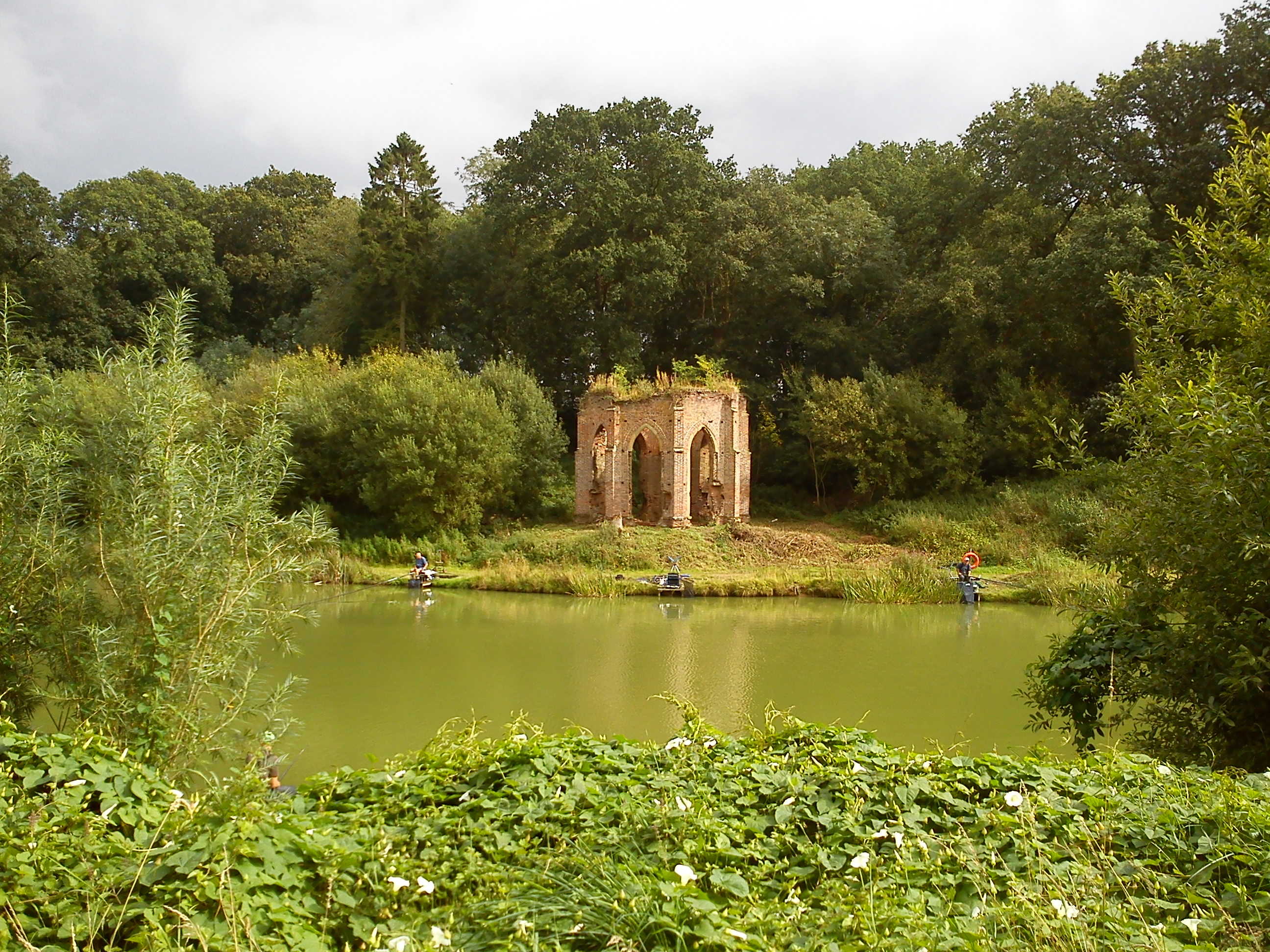
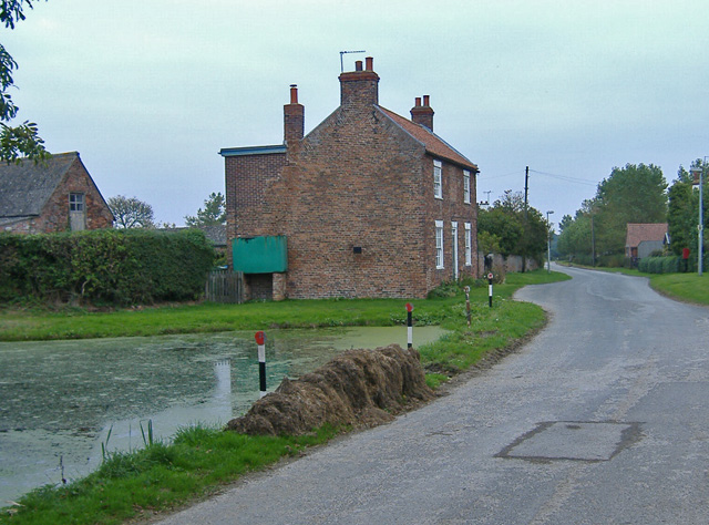
Gorse Plantation Images

Images are sourced within 2km of 53.804203/-0.46870581 or Grid Reference TA0035. Thanks to Geograph Open Source API. All images are credited.

Rapeseed flowering on The Yorkshire Wolds East of Little Weighton
Rapeseed flowering on The Yorkshire Wolds
East of Little Weighton
Fields near Risby Looking northwest from Dunflat Road across a variety of crops. The wind turbine in the distance is, as far as I can determine, at Sample's Farm, west of Walkington.
Fields near Risby
Looking northwest from Dunflat Road across a variety of crops. The wind turbine in the distance is, as far as I can determine, at Sample's Farm, west of Walkington.
Fields near Little Weighton Showing the variety of stages and types of crop and cultivation in the arable land in early spring, ranging from the corduroy effect of the ridges used for potato planting, to herringbone tweed of the nearer field.
Fields near Little Weighton
Showing the variety of stages and types of crop and cultivation in the arable land in early spring, ranging from the corduroy effect of the ridges used for potato planting, to herringbone tweed of the nearer field.
Evidence of flytipping on Dunflat Lane Surely one of the most anti-social and despicable crimes one can witness in the countryside - causing blood to boil.
Evidence of flytipping on Dunflat Lane
Surely one of the most anti-social and despicable crimes one can witness in the countryside - causing blood to boil.
Wold gold, near Little Weighton One of the area's many fields of rapeseed in full bloom, seen from Dunflat Road
Wold gold, near Little Weighton
One of the area's many fields of rapeseed in full bloom, seen from Dunflat Road
Church of All Hallows
The Beverley 20 The farm track is part of the Beverley 20 long distance walk.
The Beverley 20
The farm track is part of the Beverley 20 long distance walk.
Risby Park Farm next to the Beverley 20 Footpath
All Hallows Church, Walkington
Field at Ralph Nook
Field at Ralph Nook
View from Dunflat Lane towards Risby Park
All Hallows Church, Kirk Lane, Walkington The church has origins in the 12th century. Grade II* Listed Building <span class="nowrap"><a title="http://list.historicengland.org.uk/resultsingle.aspx?uid=1161425" rel="nofollow ugc noopener" href="http://list.historicengland.org.uk/resultsingle.aspx?uid=1161425">Link</a><img style="margin-left:2px;" alt="External link" title="External link - shift click to open in new window" src="https://s1.geograph.org.uk/img/external.png" width="10" height="10"/></span>
All Hallows Church, Kirk Lane, Walkington
The church has origins in the 12th century. Grade II* Listed Building LinkExternal link
Looking towards Risby Park from Risby Lane
Halfpenny Gate Cottages, from Park Lane
Park Lane leading off from Risby Park Farm The footpath leading off to the left goes to Risby.
Park Lane leading off from Risby Park Farm
The footpath leading off to the left goes to Risby.
All Hallows Church, Walkington
Show me another place!

Gorse Plantation is located at Grid Ref: TA0035 (Lat: 53.804203, Lng: -0.46870581)

Division: East Riding

Unitary Authority: East Riding of Yorkshire

Police Authority: Humberside

What 3 Words

///clashing.examples.nicer. Near Skidby, East Yorkshire

Related Wikis

Risby, East Riding of Yorkshire

Risby is the site of a deserted village and former stately home in the civil parish of Rowley in the East Riding of Yorkshire, England. It is approximately...

Bentley, East Riding of Yorkshire

Bentley is a hamlet in the East Riding of Yorkshire, England. It is situated approximately 3 miles (5 km) south from the market town of Beverley, and to...

Skidby

Skidby is a small village and civil parish in Yorkshire Wolds of the East Riding of Yorkshire, England. It is situated about 6 miles (10 km) north-west...

Humberside

Humberside () was a non-metropolitan and ceremonial county in Northern England from 1 April 1974 until 1 April 1996. It was composed of land from either...

Walkington

Walkington is a village and civil parish in the East Riding of Yorkshire, England. It is situated approximately 3 miles (4.8 km) to the south-west of the...
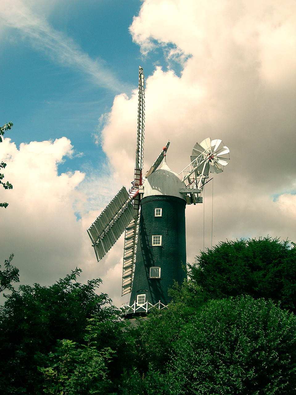
Skidby Windmill

Skidby Windmill is a Grade II* listed windmill at Skidby near Beverley, in the East Riding of Yorkshire, England.Originally built in 1821, the mill was...

Broadgate, East Riding of Yorkshire

Broadgate is a housing estate close to the village of Walkington, England. It is situated approximately 2 miles (3 km) to the south-west of the market...
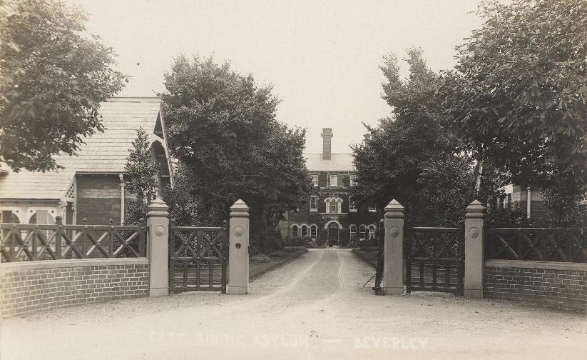
Broadgate Hospital

Broadgate Hospital was a mental health facility to the east of Walkington, East Riding of Yorkshire, England. == History == The hospital was located on...

Nearby Amenities

Located within 500m of 53.804203,-0.46870581
Risby
Is In: East Riding of Yorkshire, England, UK
Place: locality
Wikidata: Q7335830
Lat/Long: 53.8012691/-0.4659854
Gillan Spring
Natural: spring
Lat/Long: 53.8052735/-0.4750775
Bicycle Parking
Bicycle Parking: wall_loops
Capacity: 10
Lat/Long: 53.8044414/-0.4664888
The data included in this document is from www.openstreetmap.org. The data is made available under ODbL.

Have you been to Gorse Plantation?

Leave your review of Gorse Plantation below (or comments, questions and feedback).