Ashurst
Settlement in Hampshire New Forest
England
Ashurst

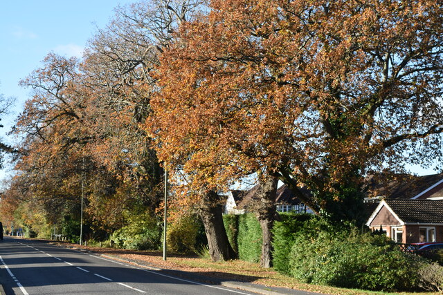
Ashurst is a village located in the New Forest district of Hampshire, England. Situated just 5 miles west of Southampton, it is a rural community with a population of around 2,000 residents. The village is surrounded by beautiful countryside, including the expansive Ashurst Wood and the New Forest National Park.
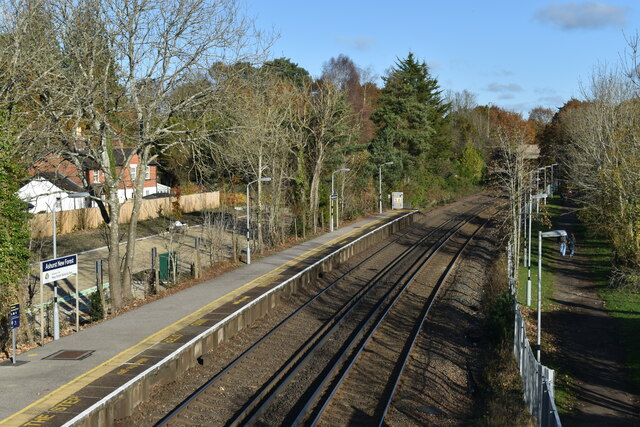
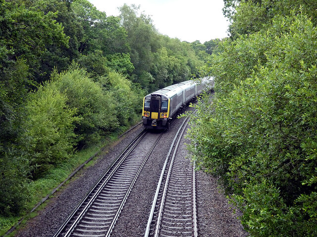
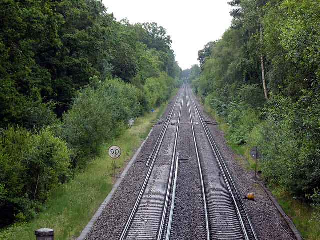
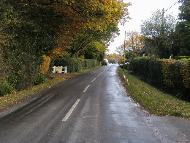
Ashurst is well connected, with the A35 road passing through the village, providing easy access to Southampton, Bournemouth, and other nearby towns. The village also benefits from a railway station, which is on the South Western Main Line, offering regular services to London Waterloo and other major cities.
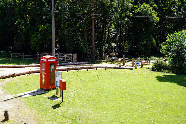
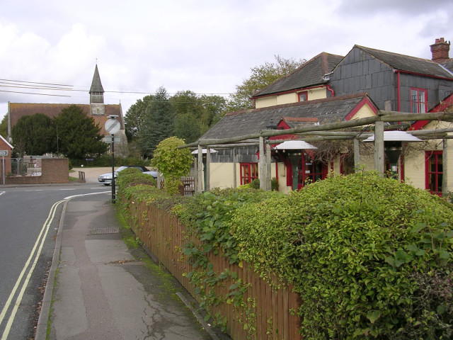
The community of Ashurst is close-knit and welcoming, with several local amenities that cater to residents' needs. These include a village hall, a primary school, a post office, and a few small shops. The village also boasts a charming pub, where locals and visitors can enjoy a drink or a meal.
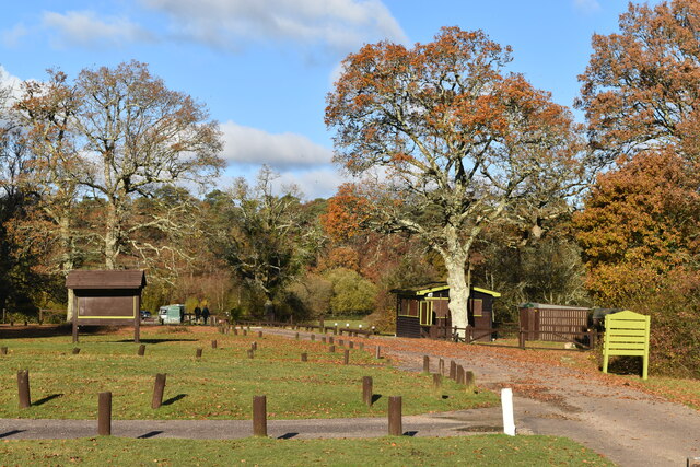
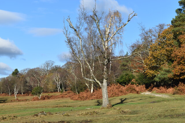
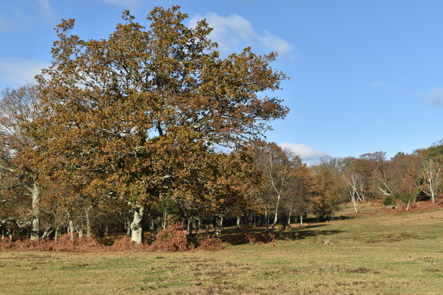
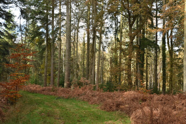
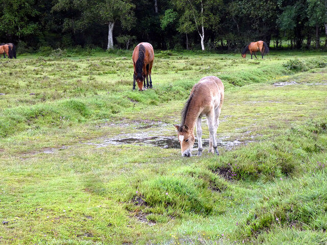
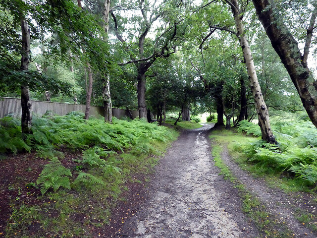
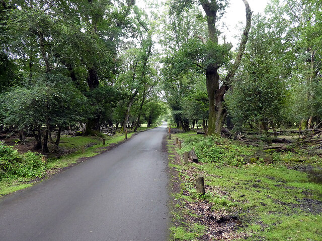
Nature lovers are particularly drawn to Ashurst due to its proximity to the New Forest. The area is renowned for its stunning landscapes, ancient woodlands, and diverse wildlife. Many residents and visitors take advantage of the numerous walking and cycling trails that crisscross the region, providing ample opportunities for outdoor exploration.
Overall, Ashurst offers a peaceful and picturesque setting for those seeking a tranquil village lifestyle while still having easy access to urban amenities. Its idyllic location within the New Forest makes it a desirable place to live for nature enthusiasts and anyone looking to escape the hustle and bustle of city life.
If you have any feedback on the listing, please let us know in the comments section below.
Ashurst Images
Images are sourced within 2km of 50.892431/-1.5226519 or Grid Reference SU3310. Thanks to Geograph Open Source API. All images are credited.


Ashurst is located at Grid Ref: SU3310 (Lat: 50.892431, Lng: -1.5226519)
Administrative County: Hampshire
District: New Forest
Police Authority: Hampshire
What 3 Words
///aliens.eventful.take. Near Totton, Hampshire
Nearby Locations
Related Wikis

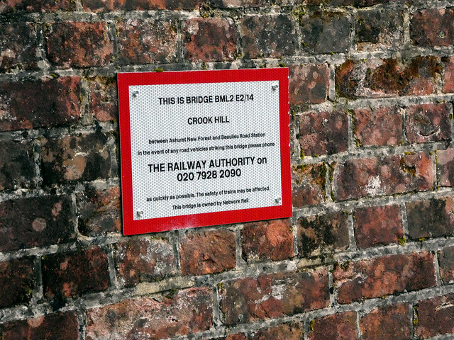
Ashurst New Forest railway station
Ashurst New Forest railway station is in Ashurst, Hampshire, England, on the South West Main Line from London Waterloo to Weymouth. It is 85 miles 43 chains...

Ashurst, Hampshire
Ashurst is a village in the New Forest district of Hampshire, England, which together with Colbury hamlet makes the parish of Ashurst and Colbury. Ashurst...

Colbury
Colbury is a small village in the New Forest National Park, in Hampshire, England. The village lies along Deerleap Lane, near the modern village of Ashurst...

Wessex Institute of Technology
The Wessex Institute of Technology (usually referred to as just Wessex Institute or WIT) is an educational and research institute. WIT is located at Ashurst...

New Forest Wildlife Park
The New Forest Wildlife Park (formerly The New Forest Otter, Owl and Wildlife Conservation Park) is located on the edge of The New Forest close to the...
Woodlands, Hampshire
Woodlands is a village in the New Forest National Park of Hampshire, England. The village lies 6 miles (9.7 km) west from Southampton and 2+3⁄4 miles...

Hounsdown School
Hounsdown School is a secondary school in Totton, near Southampton, Hampshire, England The school has 1,215 pupils, spanning ages 11 to 16. Classes are...
Netley Marsh
Netley Marsh is a village and civil parish in Hampshire, close to the town of Totton. It lies within the New Forest District, and the New Forest National...
Nearby Amenities
Located within 500m of 50.892431,-1.5226519Have you been to Ashurst?
Leave your review of Ashurst below (or comments, questions and feedback).